PERRIN (Maurice).Livre Rare Book
12.245 resultados
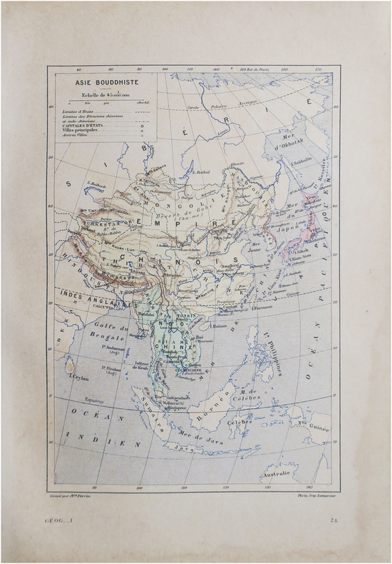
1890ref. LBW-8645Paris, [1890]. 230 x 157 mm.
1890ref. LBW-8646Paris, [1890]. 230 x 158 mm.
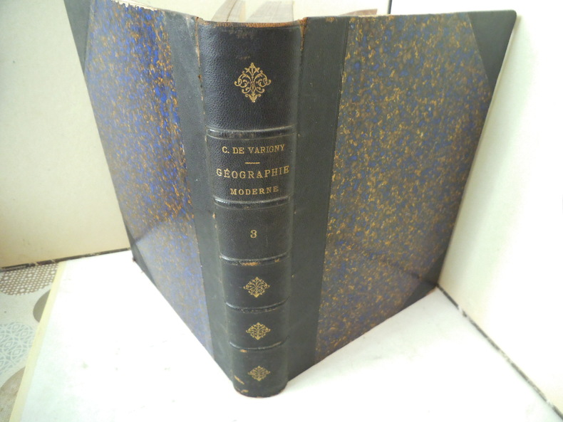
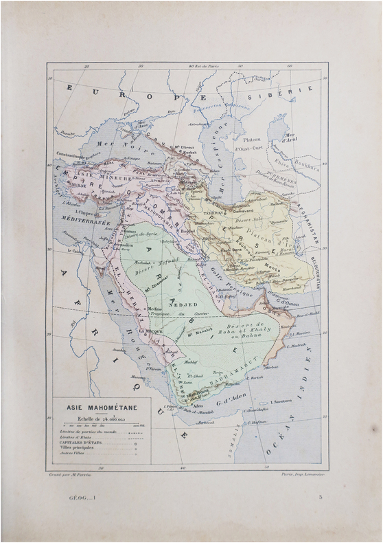
ref. 12039Nouvelle géographie moderne des cinq parties du monde. ASIE un volume in 4 demi-chagrin bleu à nerfs et à coins, titre, fers dorés. Faux-titre, frontispice, titre, 324 pages, tranches marbrées. Complet des 10 cartes, hors-texte, en couleurs ; Nombreuses gravures hors-texte, et en tête. Asie Mahométane (ouest) Asie Anglaise, Asie Russe, Asie bouddhiste (Est) Empire de Chine- Thibet-Mongolie-Turkestan chinois-Mongolie-Mandchourie-Corée-Empire du Japon-Indo-Chine (Annam, Tonkin, Cochinchine, Cambodge, Siam, Birmanie. Coins légèrement émoussés sinon bon exemplaire. Librairie illustrée 1890.
1764(København, 1764). Kobberstukket prospekt af pakhuset med både i havnen. (17x24,5 cm.). Stukket af J. Haas. På skrivepapir. Lidt marginale brunpletter.
1764ref. 53307(København, 1764). Kobberstukket prospekt af pakhuset med både i havnen. (17x24,5 cm.). Stukket af J. Haas. På skrivepapir. Lidt marginale brunpletter.
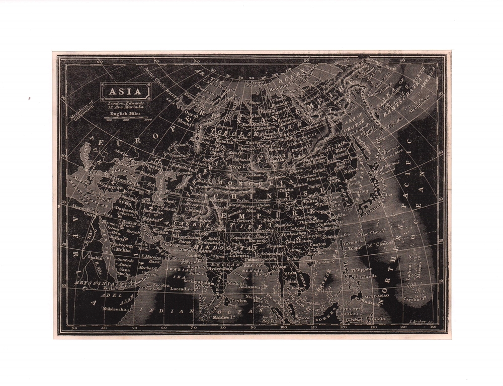
1835ref. 76582London, Edwards, ( 1835). Bildgröße 15,5 x 20,5 cm. Unter Passepartout.
1855ref. 173439Gotha.: Perthes Justus. Circa1855. Engraved map 44.1 x 36.3 cm sheet size 35.8 x 29.7cm map size plate mark map with original hand colouring and hand coloured key noting Islamic "Mohammedanische" Buddhist "Buddhaistische" and European territories by country. Unusual map in an early issue. It was included as map 39 in Stieler's "Hand-Atlas uber alle Theile der Erde und uber das Weltgebaude by Frederic von Stulpnagel" revised by Hermann Berghaus in 1855. The issue is noted to the top right: Ausg. in 63BI. no XIV. Fine outline hand colouring denotes territories by religion and Chinese ports open to European trade and Japanese ports open to American trade. . Perthes, Justus. unknown
2013ref. 1-0792250141National Geographic Society Maps 2013. Map. New. lam map edition. 1 pages. 32.90x1.70x1.40 inches. National Geographic Society Maps unknown
1786ref. 18071018xbvkParis, Bibliothèque des dames, 1786. 1 sheet, with a decorated titlefield. Ca. 21,2 x 23,9 cm (will be shipped flat, unfolded).
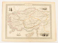
1851ref. 174952London & New York.: Tallis J & F. 1851. Lithographed map 24.5 x 32.3 cm borders picked out in original hand colour four inset vignette illustrations decorative Greek key border edge worn and discoloured paper toned but the attractive map in good condition. Attractive decorative map prepared for "Tallis's illustrated atlas and modern history of the world." one of the last great illustrated series of world maps. The fine vignettes are of Mt. Olympus Rhodes a ketch in the Mediterranean Sea and two costumed Ottomans. . Tallis, J & F. unknown
ref. SLIVCN-9830096004610PASSE-TEMPS EDITIONS
ref. SLIVCN-9830096001077PASSE-TEMPS EDITIONS
ref. SLIVCN-9830096001060PASSE-TEMPS EDITIONS
ref. SLIVCN-9830096000995PASSE-TEMPS EDITIONS
ref. SLIVCN-9830096003408PASSE-TEMPS EDITIONS
ref. SLIVCN-9830096002685PASSE-TEMPS EDITIONS
ref. SLIVCN-9830096001176PASSE-TEMPS EDITIONS
ref. SLIVCN-9830096002692PASSE-TEMPS EDITIONS
ref. SLIVCN-9830096001053PASSE-TEMPS EDITIONS
ref. SLIVCN-9830096001046PASSE-TEMPS EDITIONS
ref. SLIVCN-9830096001008PASSE-TEMPS EDITIONS
ref. SLIVCN-9830096001152PASSE-TEMPS EDITIONS
ref. SLIVCN-9830096001145PASSE-TEMPS EDITIONS
ref. SLIVCN-9830096001169PASSE-TEMPS EDITIONS
ref. SLIVCN-9830096001138PASSE-TEMPS EDITIONS