12.245 resultados
1953Carte 100X50 cm. Repli?e.
1983ref. yam0109Petit in-4 reliure pleine toile bleue en très bon état de 52 pages
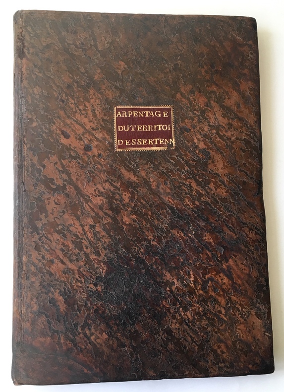
1780ref. 4613Gray, 8 janvier 1780. 1780 1 vol in-folio (436 x 300 mm.) de : 75 ff. numérotés en lettres dont [93] pp. manuscrites à l'encre brune, [3] pp. bl., [28] plans aquarellés tracés à l'encre rouge et noire dont 26 à pleine page et 2 sur une page; [4] ff. bl. Plein veau granité d'époque, dos lisse orné et titré sur piéce de maroquin brun, titre de maroquin rouge au centre du premier plat, double filet doré sur les coupes, tranches rouges. (Taches, salissures et défauts d'usage).
1990No marks or inscriptions. No creasing to covers, crease to spine. A very clean very tight copy with bright unmarked boards and no bumping to corners. 128pp. With a wealth of information of what to do around Manchester, for the family, visitors as well as organised groups.
1940ref. 3845BUm 1940. 15 x 10,5 cm.
1940ref. 3832BUm 1940. 15 x 10,5 cm.
260 x 380 mm. Engraved map mounted on cloth. Matted. Early map of Russian Armenia, featuring the eight provinces annexed by Russia in 1828, with key in French and Russian. Following Qajar Iran's defeat in the Russo-Persian War (1826-28) and the 1828 Treaty of Turkmenchay, Eastern Armenia was, among other territories, ceded to Russia. It would remain part of the Russian Empire until its collapse in 1917. - Printed at the Mechitarists' press on the island of San Lazzaro, Venice, where the Armenian order had set up their colony in 1717. They began their editorial activities as early as the following year and set up a printing press, famed for its typographic capability in many languages and alphabets, in 1789. - Very rare; catalogues list a single specimen in the British Library. OCLC 556404373.
1855ref. LBW03588New York, 1855. 402 x 327 mm.
ref. A9781597752312Sheet map rolled. New. unknown
ref. 1734315040.Gpaperback. Good. Access codes and supplements are not guaranteed with used items. May be an ex-library book. paperback
2021ref. DADAX1734315040Benchmark Maps 2021-06-15. 12th Edition 2021. paperback. New. 10.70x0.80x15.30. Buy with confidence. Excellent Customer Service & Return policy. Benchmark Maps paperback
1984ref. 2090502113710154Not Available 1984. Soft Cover. Fine. The book is in fine condition. Not Available paperback
ref. Q-0712615601Century. Hardcover. New. New. In shrink wrap. Looks like an interesting title! Century hardcover
2003ref. Q-0712616152Century 2003-01-01. Hardcover. New. In shrink wrap. Looks like an interesting title! Century hardcover
1987ref. RO20024913Fildier. 1987. In-8. Cartonné. Bon état, Couv. convenable, Dos satisfaisant, Intérieur frais. 555 p., nombreuses illustrations noir et blanc.. . . . Classification Dewey : 741.68-Illustrations des cartes postales
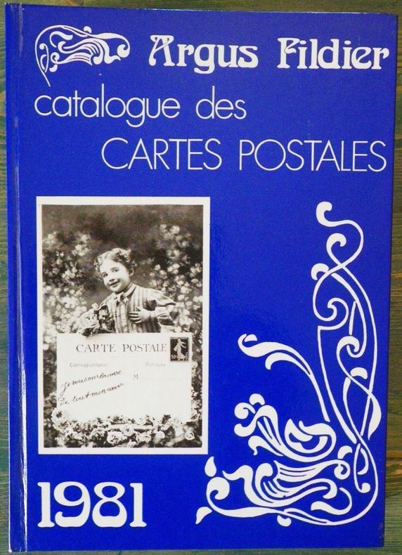
ref. 2079P., Fildier cartophilie, 1981, 1 vol. in-8 cartonné. sous couv. ill., de 424 pp.
1981ref. 6821981 cartonné in-octavo, dos bleu, premier plat illustré, illustrations : principalement reproduction de cartes postales, 424 pages, 1981 Paris Fildier Cartophile,
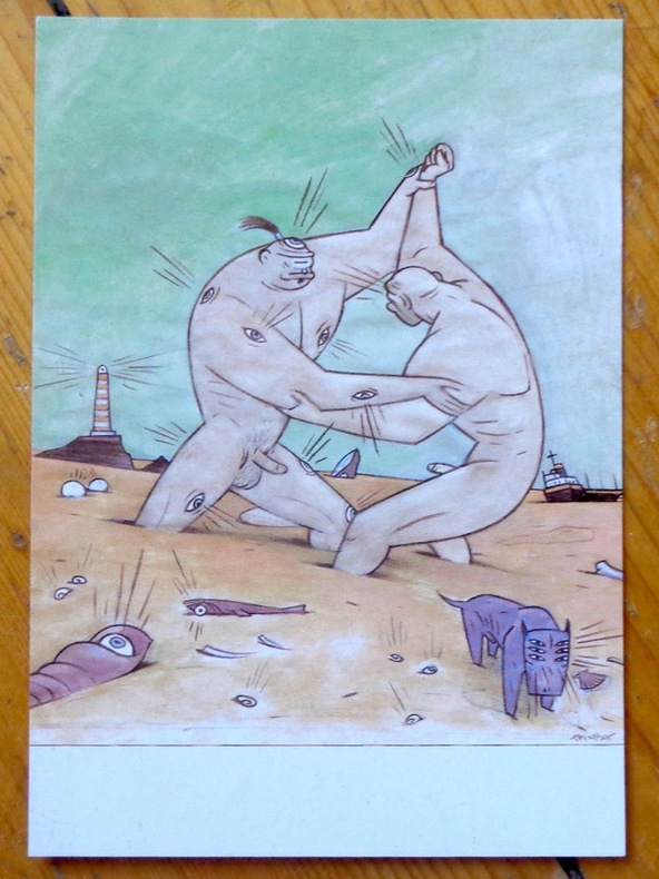
ref. 9047Chez l'auteur, 1997. Avis de changement d'adresse du dessinateur, au format carte postale.
1653Carta storico/geografica tratta dall'atlante di Georgius HORNIUS "Accuratissima orbis antiqui delineatio sive Geographia vetus sacra & profana", per la prima volta edito nel 1653. Le carte derivano da quelle di Ortelius, pubblicata nel "Parergon". Mappa dei viaggi di Giasone e degli Argonauti, mostra il Mediterraneo e il Mar Nero con specifico riferimento al percorso dell'Argo, seguendo principalmente la linea temporale e la geografia delle Argonautiche di Apollonio di Rodi. Molti degli elementi più fantastici del mito sono anche tracciati, tra cui le Symplegades o 'Rocce Erranti' all'imboccatura del Bosforo del Mar Nero, i mostri Scilla e Cariddi su entrambi i lati dello Stretto di Messina, l'isola di Eea casa della strega Circe al largo della costa napoletana, l'isola della ninfa Calipso al largo della costa calabrese meridionale, il paradisiaco Giardino delle Esperidi sulla costa settentrionale dell'Africa, e le città della Colchide sul Mar Nero, casa della futura moglie di Giasone, Medea, e del famoso Vello d'oro. Johannes Janssonius, figlio dell'editore di Arnhem Jan Janssen, sposò Elisabeth Hondius, figlia di Jodocus Hondius, ad Amsterdam nel 1612. Dopo il suo matrimonio, si stabilì in questa città come libraio ed editore di materiale cartografico. Nel 1618 si stabilì ad Amsterdam accanto alla libreria di Willem Jansz. Blaeu, entrando in una seria competizione. Le sue attività non riguardavano solo la pubblicazione di atlanti e libri, ma anche di mappe singole e un vasto commercio di libri con filiali a Francoforte, Danzica, Stoccolma, Copenaghen, Berlino, Koningsbergen, Ginevra e Lione. Nel 1631 iniziò a pubblicare atlanti insieme a Henricus Hondius. Nei primi anni 1640 Henricus Hondius lasciò l'attività di pubblicazione di atlanti completamente a Janssonius. La concorrenza con Joan Blaeu, figlio e successore di Willem, nella produzione di atlanti spinse Janssonius ad ampliare il suo Atlas Novus finalmente in un'opera di sei volumi, in cui furono inseriti un atlante marino e un atlante del Vecchio Mondo. Dopo la morte di Joannes Janssonius, il negozio e la casa editrice furono continuati dagli eredi sotto la direzione di Johannes van Waesbergen (c. 1616-1681), genero di Joannes Janssonius. Le matrici degli atlanti di Janssonius furono in seguito vendute a Schenk e Valck. Incisione in rame, finemente colorata a mano, in buone condizioni. Map taken from the HORNIUS, Georgius"Accuratissima orbis antiqui delineatio sive Geographia vetus sacra & profana" first published in Amsterdam in 1653. After Ortelius' map published in the "Parergon". Map of the journeys of Jason and the Argonauts, shows the Mediterranean and Black Sea with specific reference to the path of the Argo, mainly following the timeline and geography of Apollonius of Rhodes' Argonautica. Many of the myth's more fantastical elements are also plotted, including the Symplegades or 'Wandering Rocks' at the Bosporus mouth of the Black Sea, the monsters Scylla and Charybdis on either side of the Straits of Messina, the island of Aeaea home of the witch Circe off the Neapolitan coast, the island of the nymph Calypso off the southern Calabrian coast, the paradisiacal Garden of the Hesperides on the northern coast of Africa, and the cities of Colchis on the Black Sea, home of Jason's future wife Medea and the famous Golden Fleece. Johannes Janssonius (Arnhem, 1588-1664), son of the Arnhem publisher Jan Janssen, married Elisabeth Hondius, daughter of Jodocus Hondius, in Amsterdam in 1612. After his marriage, he settled down in this town as a bookseller and publisher of cartographic material. In 1618 he established himself in Amsterdam next door to Blaeu’s book shop. He entered into serious competition with Willem Jansz. Blaeu.. His activities not only concerned the publication of atlases and books, but also of single maps and an extensive book trade with branches in Frankfurt, Danzig, Stockholm, Copenhagen, Berlin, Koningsbergen, Geneva, and Lyon. In 1631 he began publishing atlases together with Henricus Hondius. In the early 1640s Henricus Hondius left the atlas publishing business completely to Janssonius. Competition with Joan Blaeu, Willem’s son and successor, in atlas production prompted Janssonius to enlarge his Atlas Novus finally into a work of six volumes, into which a sea atlas and an atlas of the Old World were inserted. After the death of Joannes Janssonius, the shop and publishing firm were continued by the heirs under the direction of Johannes van Waesbergen (c. 1616-1681), son-in-law of Joannes Janssonius. The copperplates from Janssonius’s atlases were afterwards sold to Schenk and Valck. Copperplate with fine later hand colour, in good conditions.
1780Pianta del rione tratta dalla celebre guida di Roma di Dominique Magnan La ville de Rome, ou, Description abrégée de cette superbe ville: divisée en quatre volumes: et ornée de 425 planches en taille douce. A Rome: De l'imprimerie d'Archange Casaletti ... : Chez Venan. Monaldini, Bouchard et Gravier : Gregoire Settari ..., 1778. Dominique Magnan (1731–1796), dotto abate francese del convento della Trinità dei Monti, dell'ordine dei minimi, a Roma, che fu profondamente coinvolto nella vita intellettuale della sua comunità durante la seconda metà del XVIII secolo. Ha studiato all'università di Avignone, poi si è unito ai Minimi di La Ciotat all'età di 20 anni, dove ha iniziato la sua carriera come collezionista di monete e medaglie antiche. Nominato professore di teologia a Marsiglia, ha continuato il suo lavoro. Si mise in contatto con i più famosi antiquari dell'epoca, sia in Italia che in Germania, e acquisì rapidamente una vasta reputazione. I suoi primi libri hanno ricevuto il plauso della critica. Ma i suoi lavori più significativi erano sulla numismatica sebbene fortemente criticati dagli specialisti dell'epoca in quanto la copertura universale e completa del soggetto poteva mantenere la confusione tra monete autentiche e false. Bibliografia: Rossetti, G-1285; Schudt 363. Map taken from the famous guide of Rome by Dominique Magnan La ville de Rome, ou, Description abrégée de cette superbe ville: divisée en quatre volumes: et ornée de 425 planches en taille douce. A Rome: De l'imprimerie d'Archange Casaletti ... : Chez Venan. Monaldini, Bouchard et Gravier : Gregoire Settari ..., 1778. Dominique Magnan (1731–1796), a learned French abbot of the Trinità dei Monti convent, of the order of the minims, in Rome, who was deeply involved in the intellectual life of his community during the second half of the 18th century. He studied at the University of Avignon, then joined the Minims of La Ciotat at age 20, where he began his career as a collector of ancient coins and medals. Appointed professor of theology in Marseille, he continued his work. He got in touch with the most famous antiquaries of the time, both in Italy and Germany, and speedily acquired an extensive reputation. His first books received critical acclaim. But his most significant works were on numismatics though heavily criticized by specialists of the time in that universal and complete coverage of the subject could maintain confusion between authentic coins and the fake ones. Bibliografia: Rossetti, G-1285; Schudt 363.
1973ref. 2083002116201937Meiji Maps Hisao Hayashi 1973. Soft Cover. Fine. The book is in fine condition. Meiji Maps Hisao Hayashi paperback
ref. 20334Guilherand, Impressions Modernes, 2002, Broché, couverture illustrée. in-8, titre illustré, 182 pages, nombreuses photos (reproduction de cartes postales anciennes) avec un texte d'accompagnement, envoi autographe signé de l'auteur.
1930Collection " Guide-Hachette " avec 1 Carte dépliante en couleurs , 1 carte schématique en noir et blanc et 26 gravures . A l'époque où l'automobile se développe ainsi que les voies de chemins de fer , Hachette lance une série de guides invitant à découvrir tous les départements de France . De très belles cartes réalisées par L'Institut Géographique de Paris permettent d'entreprendre les voyages . Actuellement très utiles aux généalogistes et historiens car nombres de villages ont disparus . Elles permettent de recenser les bois et forêts de l'époque , les lignes de chemins de fer , les petits et grands chemins et donnent de précieuses indications sur l'économie et la population . ( Commandez plusieurs départements dans notre librairie et ne payez qu'un seul frais de port ) . Cartes et plans .- 56 p. + Carte , 150 gr.
1930ref. 022433Paris Librairie Hachette 1930 In 16 Collection " Guide-Hachette " avec 1 Carte dépliante en couleurs , 1 carte schématique en noir et blanc et 26 gravures . A l'époque où l'automobile se développe ainsi que les voies de chemins de fer , Hachette lance une série de guides invitant à découvrir tous les départements de France . De très belles cartes réalisées par L'Institut Géographique de Paris permettent d'entreprendre les voyages . Actuellement très utiles aux généalogistes et historiens car nombres de villages ont disparus . Elles permettent de recenser les bois et forêts de l'époque , les lignes de chemins de fer , les petits et grands chemins et donnent de précieuses indications sur l'économie et la population . ( Commandez plusieurs départements dans notre librairie et ne payez qu'un seul frais de port ) . Cartes et plans .- 56 p. + Carte , 150 gr.
ref. G8N-H27-VU6Hardcover. Good. Jacket in Fair condition worn torn faded and foxed with significant tape repairs verso. Book has moderate wear some edge foxing; pages yellowed with an occasional minor blemish; binding firm; gift inscription to half-title. hardcover