Max:Livre Rare Book
12.210 resultados
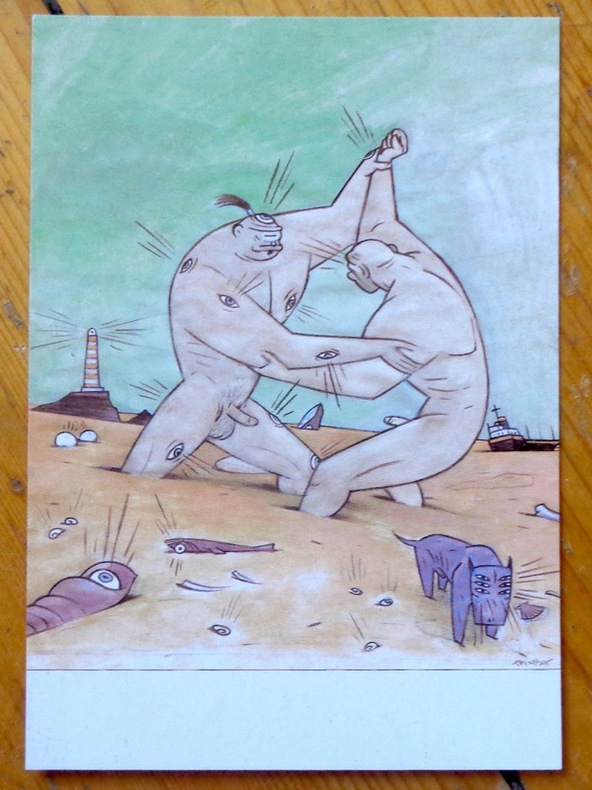
ref. 9047Chez l'auteur, 1997. Avis de changement d'adresse du dessinateur, au format carte postale.
1653Carta storico/geografica tratta dall'atlante di Georgius HORNIUS "Accuratissima orbis antiqui delineatio sive Geographia vetus sacra & profana", per la prima volta edito nel 1653. Le carte derivano da quelle di Ortelius, pubblicata nel "Parergon". Mappa dei viaggi di Giasone e degli Argonauti, mostra il Mediterraneo e il Mar Nero con specifico riferimento al percorso dell'Argo, seguendo principalmente la linea temporale e la geografia delle Argonautiche di Apollonio di Rodi. Molti degli elementi più fantastici del mito sono anche tracciati, tra cui le Symplegades o 'Rocce Erranti' all'imboccatura del Bosforo del Mar Nero, i mostri Scilla e Cariddi su entrambi i lati dello Stretto di Messina, l'isola di Eea casa della strega Circe al largo della costa napoletana, l'isola della ninfa Calipso al largo della costa calabrese meridionale, il paradisiaco Giardino delle Esperidi sulla costa settentrionale dell'Africa, e le città della Colchide sul Mar Nero, casa della futura moglie di Giasone, Medea, e del famoso Vello d'oro. Johannes Janssonius, figlio dell'editore di Arnhem Jan Janssen, sposò Elisabeth Hondius, figlia di Jodocus Hondius, ad Amsterdam nel 1612. Dopo il suo matrimonio, si stabilì in questa città come libraio ed editore di materiale cartografico. Nel 1618 si stabilì ad Amsterdam accanto alla libreria di Willem Jansz. Blaeu, entrando in una seria competizione. Le sue attività non riguardavano solo la pubblicazione di atlanti e libri, ma anche di mappe singole e un vasto commercio di libri con filiali a Francoforte, Danzica, Stoccolma, Copenaghen, Berlino, Koningsbergen, Ginevra e Lione. Nel 1631 iniziò a pubblicare atlanti insieme a Henricus Hondius. Nei primi anni 1640 Henricus Hondius lasciò l'attività di pubblicazione di atlanti completamente a Janssonius. La concorrenza con Joan Blaeu, figlio e successore di Willem, nella produzione di atlanti spinse Janssonius ad ampliare il suo Atlas Novus finalmente in un'opera di sei volumi, in cui furono inseriti un atlante marino e un atlante del Vecchio Mondo. Dopo la morte di Joannes Janssonius, il negozio e la casa editrice furono continuati dagli eredi sotto la direzione di Johannes van Waesbergen (c. 1616-1681), genero di Joannes Janssonius. Le matrici degli atlanti di Janssonius furono in seguito vendute a Schenk e Valck. Incisione in rame, finemente colorata a mano, in buone condizioni. Map taken from the HORNIUS, Georgius"Accuratissima orbis antiqui delineatio sive Geographia vetus sacra & profana" first published in Amsterdam in 1653. After Ortelius' map published in the "Parergon". Map of the journeys of Jason and the Argonauts, shows the Mediterranean and Black Sea with specific reference to the path of the Argo, mainly following the timeline and geography of Apollonius of Rhodes' Argonautica. Many of the myth's more fantastical elements are also plotted, including the Symplegades or 'Wandering Rocks' at the Bosporus mouth of the Black Sea, the monsters Scylla and Charybdis on either side of the Straits of Messina, the island of Aeaea home of the witch Circe off the Neapolitan coast, the island of the nymph Calypso off the southern Calabrian coast, the paradisiacal Garden of the Hesperides on the northern coast of Africa, and the cities of Colchis on the Black Sea, home of Jason's future wife Medea and the famous Golden Fleece. Johannes Janssonius (Arnhem, 1588-1664), son of the Arnhem publisher Jan Janssen, married Elisabeth Hondius, daughter of Jodocus Hondius, in Amsterdam in 1612. After his marriage, he settled down in this town as a bookseller and publisher of cartographic material. In 1618 he established himself in Amsterdam next door to Blaeu’s book shop. He entered into serious competition with Willem Jansz. Blaeu.. His activities not only concerned the publication of atlases and books, but also of single maps and an extensive book trade with branches in Frankfurt, Danzig, Stockholm, Copenhagen, Berlin, Koningsbergen, Geneva, and Lyon. In 1631 he began publishing atlases together with Henricus Hondius. In the early 1640s Henricus Hondius left the atlas publishing business completely to Janssonius. Competition with Joan Blaeu, Willem’s son and successor, in atlas production prompted Janssonius to enlarge his Atlas Novus finally into a work of six volumes, into which a sea atlas and an atlas of the Old World were inserted. After the death of Joannes Janssonius, the shop and publishing firm were continued by the heirs under the direction of Johannes van Waesbergen (c. 1616-1681), son-in-law of Joannes Janssonius. The copperplates from Janssonius’s atlases were afterwards sold to Schenk and Valck. Copperplate with fine later hand colour, in good conditions.
1780Pianta del rione tratta dalla celebre guida di Roma di Dominique Magnan La ville de Rome, ou, Description abrégée de cette superbe ville: divisée en quatre volumes: et ornée de 425 planches en taille douce. A Rome: De l'imprimerie d'Archange Casaletti ... : Chez Venan. Monaldini, Bouchard et Gravier : Gregoire Settari ..., 1778. Dominique Magnan (1731–1796), dotto abate francese del convento della Trinità dei Monti, dell'ordine dei minimi, a Roma, che fu profondamente coinvolto nella vita intellettuale della sua comunità durante la seconda metà del XVIII secolo. Ha studiato all'università di Avignone, poi si è unito ai Minimi di La Ciotat all'età di 20 anni, dove ha iniziato la sua carriera come collezionista di monete e medaglie antiche. Nominato professore di teologia a Marsiglia, ha continuato il suo lavoro. Si mise in contatto con i più famosi antiquari dell'epoca, sia in Italia che in Germania, e acquisì rapidamente una vasta reputazione. I suoi primi libri hanno ricevuto il plauso della critica. Ma i suoi lavori più significativi erano sulla numismatica sebbene fortemente criticati dagli specialisti dell'epoca in quanto la copertura universale e completa del soggetto poteva mantenere la confusione tra monete autentiche e false. Bibliografia: Rossetti, G-1285; Schudt 363. Map taken from the famous guide of Rome by Dominique Magnan La ville de Rome, ou, Description abrégée de cette superbe ville: divisée en quatre volumes: et ornée de 425 planches en taille douce. A Rome: De l'imprimerie d'Archange Casaletti ... : Chez Venan. Monaldini, Bouchard et Gravier : Gregoire Settari ..., 1778. Dominique Magnan (1731–1796), a learned French abbot of the Trinità dei Monti convent, of the order of the minims, in Rome, who was deeply involved in the intellectual life of his community during the second half of the 18th century. He studied at the University of Avignon, then joined the Minims of La Ciotat at age 20, where he began his career as a collector of ancient coins and medals. Appointed professor of theology in Marseille, he continued his work. He got in touch with the most famous antiquaries of the time, both in Italy and Germany, and speedily acquired an extensive reputation. His first books received critical acclaim. But his most significant works were on numismatics though heavily criticized by specialists of the time in that universal and complete coverage of the subject could maintain confusion between authentic coins and the fake ones. Bibliografia: Rossetti, G-1285; Schudt 363.
1973ref. 2083002116201937Meiji Maps Hisao Hayashi 1973. Soft Cover. Fine. The book is in fine condition. Meiji Maps Hisao Hayashi paperback
ref. 20334Guilherand, Impressions Modernes, 2002, Broché, couverture illustrée. in-8, titre illustré, 182 pages, nombreuses photos (reproduction de cartes postales anciennes) avec un texte d'accompagnement, envoi autographe signé de l'auteur.
1930Collection " Guide-Hachette " avec 1 Carte dépliante en couleurs , 1 carte schématique en noir et blanc et 26 gravures . A l'époque où l'automobile se développe ainsi que les voies de chemins de fer , Hachette lance une série de guides invitant à découvrir tous les départements de France . De très belles cartes réalisées par L'Institut Géographique de Paris permettent d'entreprendre les voyages . Actuellement très utiles aux généalogistes et historiens car nombres de villages ont disparus . Elles permettent de recenser les bois et forêts de l'époque , les lignes de chemins de fer , les petits et grands chemins et donnent de précieuses indications sur l'économie et la population . ( Commandez plusieurs départements dans notre librairie et ne payez qu'un seul frais de port ) . Cartes et plans .- 56 p. + Carte , 150 gr.
1930ref. 022433Paris Librairie Hachette 1930 In 16 Collection " Guide-Hachette " avec 1 Carte dépliante en couleurs , 1 carte schématique en noir et blanc et 26 gravures . A l'époque où l'automobile se développe ainsi que les voies de chemins de fer , Hachette lance une série de guides invitant à découvrir tous les départements de France . De très belles cartes réalisées par L'Institut Géographique de Paris permettent d'entreprendre les voyages . Actuellement très utiles aux généalogistes et historiens car nombres de villages ont disparus . Elles permettent de recenser les bois et forêts de l'époque , les lignes de chemins de fer , les petits et grands chemins et donnent de précieuses indications sur l'économie et la population . ( Commandez plusieurs départements dans notre librairie et ne payez qu'un seul frais de port ) . Cartes et plans .- 56 p. + Carte , 150 gr.
ref. G8N-H27-VU6Hardcover. Good. Jacket in Fair condition worn torn faded and foxed with significant tape repairs verso. Book has moderate wear some edge foxing; pages yellowed with an occasional minor blemish; binding firm; gift inscription to half-title. hardcover
1857ref. 9560Philadelphia, Childs & Peterson, 1857. 2 volumes in-8 de 2-464-2 et 2-467-2, pages, pleine percaline bleue, dos (un peu passés) avec titre doré et roulettes à froid, plats ornés d'un navire dans un décor à froid. Quelques rousseurs, nom de possesseur sur gardes.
1959ref. 34336Weimar, Böhlau, 1959. 64 Seiten. Mit einer gefalteten Karte im Anhang. 4°. Halbleinen mit goldgeprägtem Rückentitel. Vorderdeckel etwas lichtrandig, Ränder minimal bestossen. Gutes Exemplar. 1. Aufl.
ref. 9515Michel Trinkvel Reliure éditeur plein cartonnage sous jaquette illustrée au format 21x30env , superbe iconographie in et ht en noir généralement ( photographies anciennes). Très bel exemplaire .
1996ref. 15408EDITIONS DE LODI 1996 203 pages 2x29x23cm. 1996. Relié. 203 pages. Livre d'occasion illustré sur la région de Franche-Comté présentant des photographies anciennes des métiers traditionnels et des cartes postales. Publié en 1996 aux éditions de Lodi il fait partie d'une série d'ouvrages de Jacques Borgé et Nicolas Viasnoff
1939ref. 144331939. Archive of six large original World War II-era maps used by a United States Army soldier in the European Theater of Operations during the Allied liberation of Europe. Lithographed maps various issuers 1938-1939 wartime use 1944-1945. Beyond their immediate tactical utility these maps occupy a pivotal geopolitical moment. The Czech sheets document territories liberated by American forces in May 1945 particularly around Plzeň which marked the effective western limit of U.S. advance before demarcation lines were fixed with Soviet forces. Within months these same regions fell firmly within the Soviet sphere of influence formalized through postwar agreements and culminating in the 1948 Communist coup in Czechoslovakia. Cartographically borders administrative divisions and place names shifted to reflect the new socialist state while subsequent Eastern Bloc map production emphasized different political geographies aligned with Moscow. Thus these pre-Communist and German-printed sheets capture a fleeting interstice: cities momentarily under American military administration before incorporation into the Soviet Eastern Bloc. The 1938 promotional map of Czechoslovakia preserves the nation's pre-Munich territorial identity prior to its partition under Nazi pressure while the 1939 Hamburg map reflects the industrial heartland of the Third Reich before Allied devastation and Germany's eventual division into East and West. In this sense the archive charts not only wartime movement but the rapid redrawing of Europe's political landscape-where American operational cartography was almost immediately superseded by Cold War boundary-making. Sizes range from 19" x 24" to 34" x 22". The archive comprises detailed city and regional maps of western Czechoslovakia-Město Teplá 19" x 24" Plzeň Sheet 4151 24" x 19" black and white with green overlay Horšovský Týn Sheet 4150 24" x 19" and Kralovice Sheet 4051-together with a large 1938 promotional map of Czechoslovakia 34" x 22" and a 1939 German-printed map of Hamburg 28" x 24". All are original period printings retained by the soldier following his service. Good overall with expected wartime folds creasing and moderate wrinkling from field use and storage; no significant losses observed. A rare and materially resonant survival of Allied operational maps that document both the liberation of Central Europe and the swift geopolitical transformation that consigned much of that terrain to the Soviet Eastern Bloc rendering these sheets artifacts of a brief and transitional military presence. unknown books
1939ref. 144331939. Archive of six large original World War II-era maps used by a United States Army soldier in the European Theater of Operations during the Allied liberation of Europe. Lithographed maps various issuers 1938-1939 wartime use 1944-1945. Beyond their immediate tactical utility these maps occupy a pivotal geopolitical moment. The Czech sheets document territories liberated by American forces in May 1945 particularly around Plzeň which marked the effective western limit of U.S. advance before demarcation lines were fixed with Soviet forces. Within months these same regions fell firmly within the Soviet sphere of influence formalized through postwar agreements and culminating in the 1948 Communist coup in Czechoslovakia. Cartographically borders administrative divisions and place names shifted to reflect the new socialist state while subsequent Eastern Bloc map production emphasized different political geographies aligned with Moscow. Thus these pre-Communist and German-printed sheets capture a fleeting interstice: cities momentarily under American military administration before incorporation into the Soviet Eastern Bloc. The 1938 promotional map of Czechoslovakia preserves the nation's pre-Munich territorial identity prior to its partition under Nazi pressure while the 1939 Hamburg map reflects the industrial heartland of the Third Reich before Allied devastation and Germany's eventual division into East and West. In this sense the archive charts not only wartime movement but the rapid redrawing of Europe's political landscape-where American operational cartography was almost immediately superseded by Cold War boundary-making. Sizes range from 19" x 24" to 34" x 22". The archive comprises detailed city and regional maps of western Czechoslovakia-Město Teplá 19" x 24" Plzeň Sheet 4151 24" x 19" black and white with green overlay Horšovský Týn Sheet 4150 24" x 19" and Kralovice Sheet 4051-together with a large 1938 promotional map of Czechoslovakia 34" x 22" and a 1939 German-printed map of Hamburg 28" x 24". All are original period printings retained by the soldier following his service. Good overall with expected wartime folds creasing and moderate wrinkling from field use and storage; no significant losses observed. A rare and materially resonant survival of Allied operational maps that document both the liberation of Central Europe and the swift geopolitical transformation that consigned much of that terrain to the Soviet Eastern Bloc rendering these sheets artifacts of a brief and transitional military presence. unknown
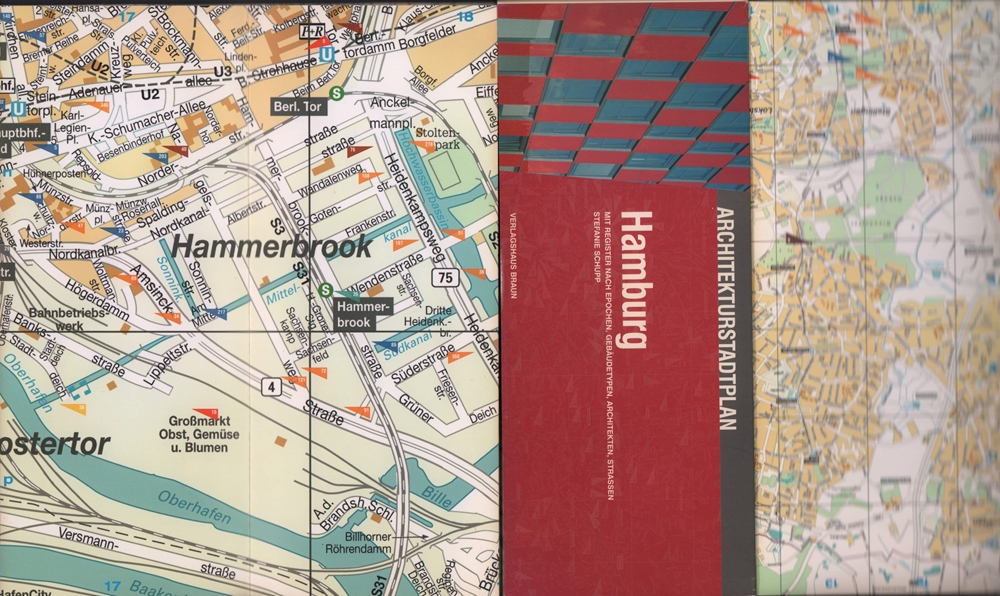
2004ref. 81261(Berlin), Verlagshaus Braun, (2004). 2 mehrfach gefalt. farb. Pläne, beidseitig bedruckt Gesamtplan im Maßstab 1:20000, verso Innenstadt im Maßstab 1:8000 sowie 103 S. Register (dt./engl.). Deckel 10,5 x 25 cm. Stärkerer OKart.
1862ref. LBW-1137Paris, Jules Renouard, 1862. 354 x 490 mm.
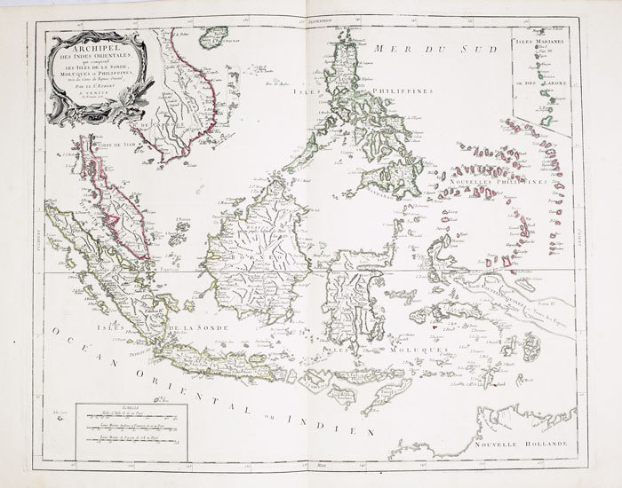
1778ref. LBW-795Venise, P. Santini, 1778. 481 x 590 mm.
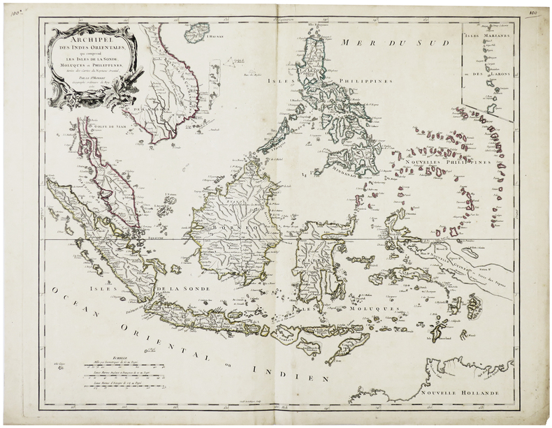
1750ref. LBW-64211750. 480 x 592 mm.
1778Carta geografica colorata a mano (53,5x71), con larghi margini, buone condizioni. Hand coloured map (53,5x71), large margins, good copy.
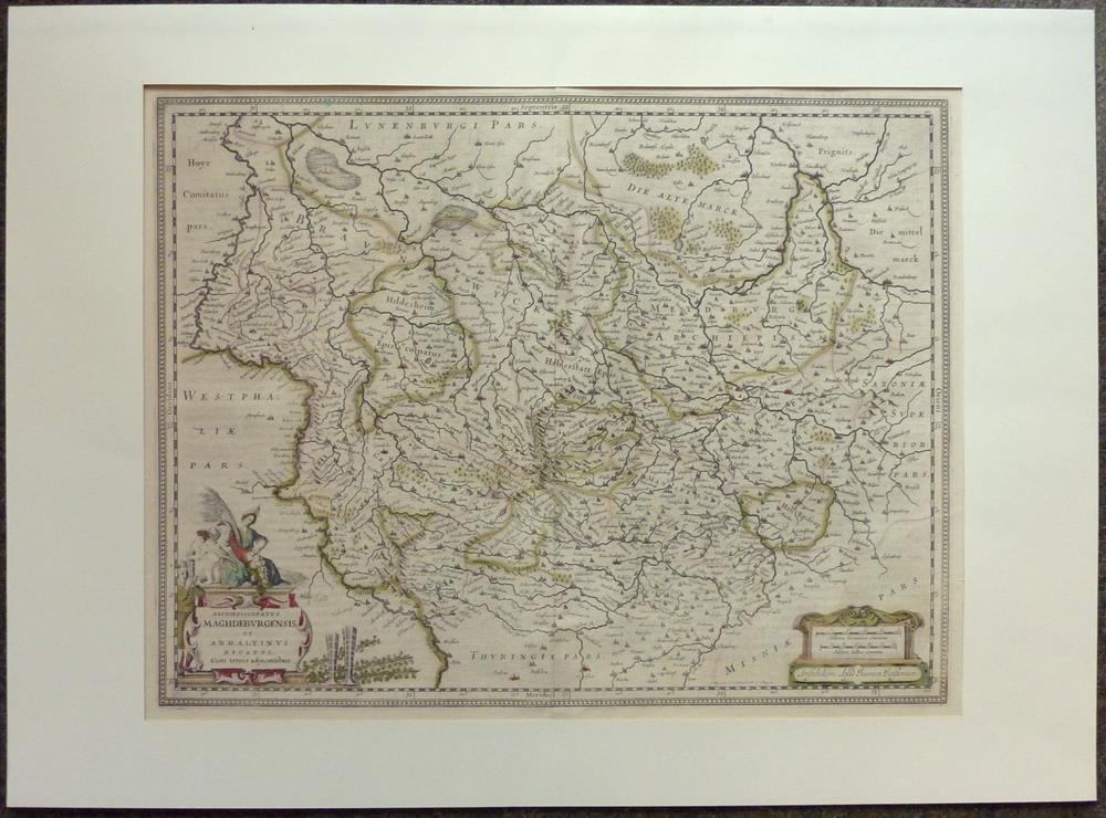
1680ref. 81228Amsterdam, Janssonius, [ca. 1680. 38 x 49 cm.
ref. LBW027afAugsbourg circa 1740 252 x 333 mm.
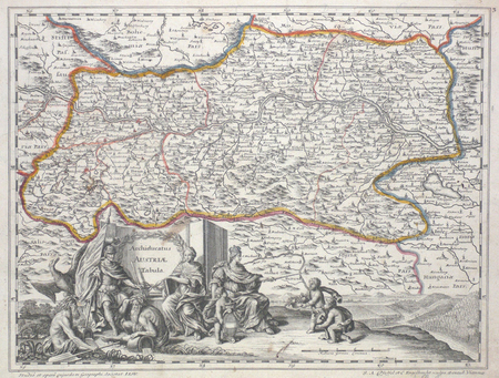
Kupferstichkarte von 12 Platten mit Legende und sechs Kartuschen (darunter auch Veduten mit figürl. Staffage, u. a. eine Ansicht des Traunsees mit Gmunden u. Schloß Orth sowie Attersee mit Schloß Kammer), zus. auf Leinwand aufgezogen und auf zwei zeitgenössische Holzstäbe mit gedrechselten Knäufen montiert. 1280:1265 mm. Erste Ausgabe der großen Vischer-Karte von Oberösterreich, spätere Ausgaben sind 1762 und 1808 erschienen. “Die erste der großen Landkarten des Georg Matthäus Vischer ist die Karte von Oberösterreich. Ende des Jahres 1666 hat Vischer das Projekt den oberösterreichischen Ständen vorgeschlagen, im Mai 1667 erhielt er schon den Auftrag, Sommer 1667 ist er mit den Vermessungsarbeiten im Gelände beschäftigt, und im Winter desselben Jahres wird die Karte bereits gezeichnet. Am 21. Februar 1668 konnte Vischer die vollendete Karte den Ständen vorlegen” (Dörflinger/Wagner). Die vorliegende Karte gilt als die erste autoptisch aufgenommene, großformatige und detaillierte Karte von Oberösterreich und “diente einem der universalsten Barockkartographen, dem Venezianer Vincenzo Coronelli (1650-1718) als Vorbild” (Kat. Austria Picta, 56f.), der die vorliegende Karte 1692 für seinen ‘Corso Geografico universale’ in verkleinertem Format nachgestochen hat. - Durch die alte Montage und Aufhängung mit den üblichen Gebrauchspuren und an den Plattenkanten etwas rissig, das Leinen jedoch fachmännisch erneuert, einige kl. Fehlstellen retuschiert. Wie alle großformatigen Wandkarten des Barock selten, die vorliegende noch dazu in der originalen Fassung des 17. Jahrhunderts auf zwei hölzerne Rundstäbe montiert. Dörflinger/Wagner/Wawrik, Descriptio Austriae (1977), 126 u. Tafel 28.
2004Contains a map. 24x17 cm. 102+72 pages. Softcover. In good condition.
2004IN HEBREW AND ENGLISH. Contains a map. 24x17 cm. 116+91 pages. Softcover. In good condition.
1968Supplement to National Geographic, October 1968. eng