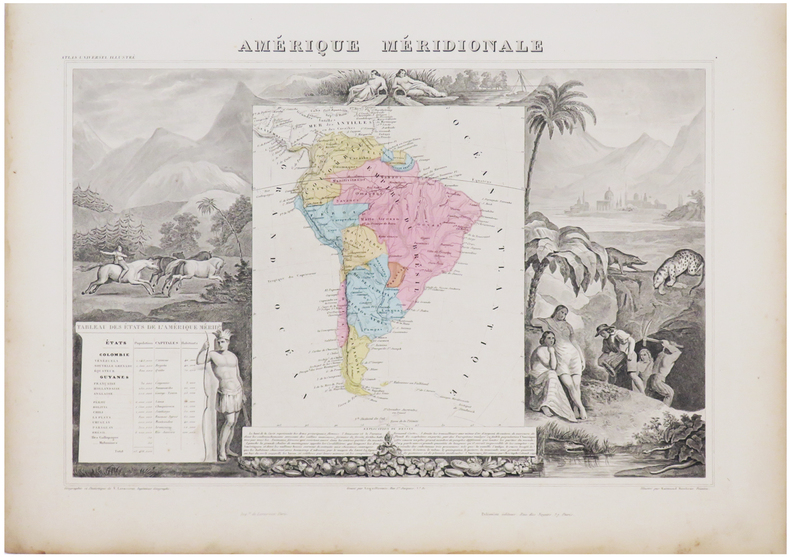
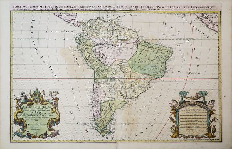
12.210 resultados
1977ref. 150591977 plaquette grand in-octavo (booklet in-octavo), dos muet jaune très clair (yellow spine without title), première de couverture imprimée et illustrée (front cover printed and illustrated), quatrième de couverture muette (back cover without text), toutes tranches lisses (all smooth edges), pages de garde blanches (white endpapers), illustrations : bien documenté (well-documented), 84 pages, 1977 à Nantes Librairie Nantaise Yves Vachon - 22 rue Bouchaud,
ref. 1527883051.Gpaperback. Good. Access codes and supplements are not guaranteed with used items. May be an ex-library book. paperback
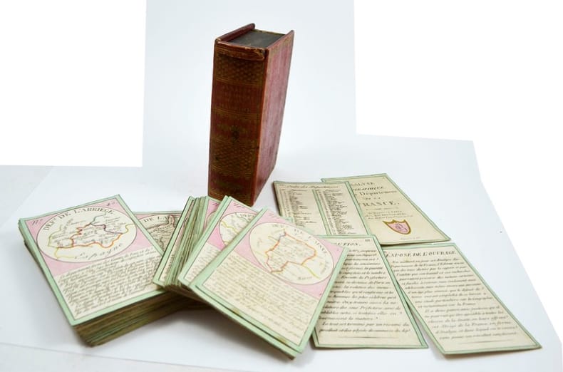
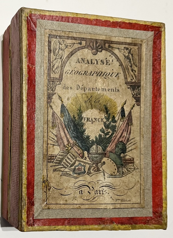
1819ref. 12902Paris, Bourrut-Le Meri, Rue du Petit lion St Sauveur, [1819?]. Boite d’édition imitant un livre, recouvert de papier maroquiné rouge avec roulette florale dorée en encadrement sur les plats et un dos orné, titre doré au dos, glissière au niveau de la tranche supérieure.
1836ref. 5579Paris, Bourrut Lemerie, [circa 1836]. 1836 Jeu de 90 cartes (132 x 82 mm). (quelques rousseurs) 1 boite d'origine (160 x 120 mm) en carton recouverte de papier rouge, titre imprimé en couleur sur le couvercle. (défauts d'usage)
1984ref. 8187Creative Arts Book Compagny / San Francisco 1984. In-8 cartonnage éditeur de 172 pages au format 14,3 x 22,5 cm. Couverture avec titre imprimé. Dos rond. Plats et intérieur faris. Complet de la belle jaquette illustrée, avec petits frottis aux coins et minuscule déchirure en haut du 1er plat. Edition originale. Exemplaire du service de presse accompagné du prière d'insérer et du carton hommage de l'éditeur ainsi que d'une carte postale, représentant un visage d'Indien Shaman, ornée d'une superbe dédicace autographe, de 13 lignes, signée, et datée de l'auteur. Celles-ci sont très rares.
1864165 p. Text in double columns (330 cols) + Seven (7) hand colored maps, from plates engraved on steel by W. Williams, Philadelphia. A page of descriptive letterpress accompanies each map. Some age stain and foxing. 4to. 27 cm. Original full cloth binding; worn at extremities; front board lettered in gilt; rear board lettered in blind. Manuscript Ownership of: John H. Walker, Fannettsburg, PA (Path Valley, Franklin County, PA). PALIB 6
1739ref. 174921London.: The Gentleman's Magazine. circa1739. Engraved map 22.2 x 31.4 31.1 x 33 cm sheet size elaborate explanatory key in three columns at the foot original folds sealed 2 cm tear to the lower part of the inner margin one other small fold tear no loss inner margin of the key trimmed with some loss an original fault paper browned and spotted on the verso but an historic map in good condition. . [The Gentleman's Magazine]. unknown
1976ref. 86806Unwin Brothers, London, 1976. 29,5 cm ; kart.
1869pp. vii, 617, 175 + Plus large folding frontis map, lithographed and engraved illustrations and several maps, one in color. Folding frontis map has old tape repair. Inked ownership of A. C. Kepler, July 1869. His initials on title page. Text very slightly browned. Large 8vo. Original full leather binding. Boards detached with some loss on spine. Hardbound. Howes M 720. PA 45 rear
1965160 pages, maps, index, slight wear to covers, (University Paperbacks ; UP91) eng
1997This is a very good hardcover copy in a very good dust jacket. The jacket is a little toned and has a bit of light soil. Internally completely clean. Maps of 40 cities in Europe, Russia, America and Asia are presented in full-page color plates. All maps were drawn and published between 1830 - 42. 13" high X 15" wide, 102 pages. Large heavy book. Foreign shipping will be extra. This book will be securely wrapped and packed in a sturdy box and sent with tracking.
1978125 pages including bibliography and appendices. "Distribution of mineral occurrences in British Columbia recorded in an extensive computerized file." - from page 5. Contents include mineral commodity occurrence maps, quantitative approach to regional analysis of data, and discussion (mineral resource potential, metallogeny). Usual library markings. Moderate wear. Sound binding. A solid working copy. Book
1798388 p. + Folding Map of North America. Offsetting from map on title page. Text browning but not brittle. Page 145 slightly torn without loss. Page 183 loss in margin and very slight loss of text. Mildly XLib. Bookplate of American Philosophical Society of Philadelphia, presented by John Vaugham. 175 mm. Disbound. Signatures loose. Should be rebound. First Edition in this form. Abridged by the Author. Title continues: "To Which Is Annexed An Accurate Table Of All The Post-Offices In The United States." Hardbound. The map alone usually brings this price. AI BX 4
1999New English Paperback. Pbo. 4to. (31 x 22 cm). In English and Turkish. 80 p., color and b/w ills. An 8200 year old map: The town plan of Çatalhöyük.= 8200 yillik bir harita: Çatalhöyük sehir plani. I was fascinated when I first saw the Catalhoyuk map, a heritage of 'Anatolian Civilizations' which has survived 8,200 years of history, while at the same time I was greatly disappointed that such a unique map was neither known sufficiently enough nor introduced to the cartographic scholars. It was for this reason that about two years ago, I decided to conduct research into the matter. However, as I was already involved in two research projects entitled 'The History of Turkish Mapping in the Republican Era' and 'Historical Relief Maps, ' respectively, it was not possible to find time for the Catalhoyuk map. Once I had completed these studies, I started to carry out my study on 'Piri Reis Kitab-i Bahriye' (Piri Reis and His Book of the Sea) , which has been continiuing for a few years, Thus, my study of the Catalhoyuk map had been delayed once again. When I saw the map once again, in early 1999, I decided that I could not wait any longer. Even though my continuing research would be delayed, I could not avoid giving priority to the study of the Catalhoyuk map. ARCHEOLOGY Anatolian civilizations Hittites Çatalhöyük Excavations Map Geography Guide Reference.
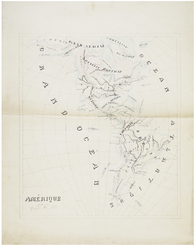
ref. LBW-7433[milieu du XIXe siècle]. 45 x 38,5 cm.
1780ref. LBW-5934[1780]. 215 x 319 mm.
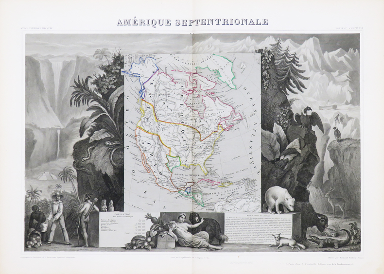
1850ref. LBW-4867Paris, [circa 1850]. 310 x 439 mm.
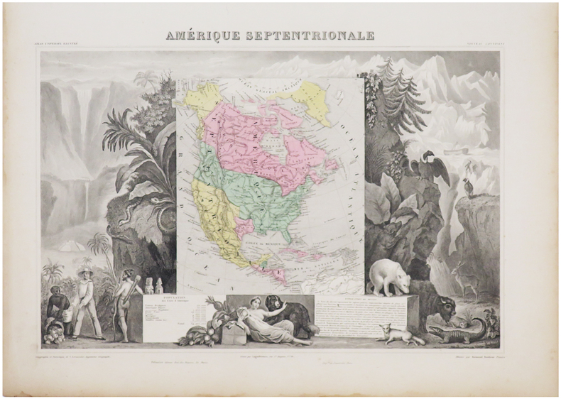
1861ref. LBW-6933Paris, [1861]. 307 x 434 mm.
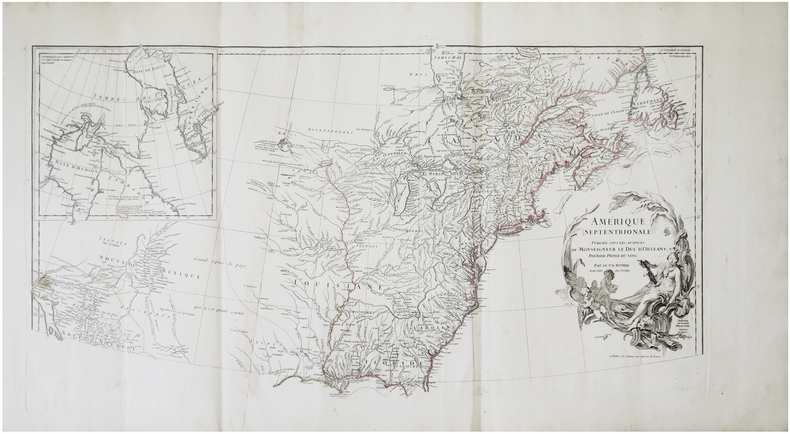
1746ref. LBW-7930Paris, chez l'auteur, 1746. En deux feuilles pouvant être jointes pour former une carte de 825 x 860 mm.
1791ref. LBW-4850[Paris, Mondhare, 1791]. 206 x 229 mm.
1743ref. LBW024891743. 207 x 275 mm.
1850ref. LBW-4866Paris, [circa 1850]. 315 x 427 mm.
1861ref. LBW-6938Paris, [1861]. 315 x 425 mm.
1691ref. LBW-3673Paris, H. Jaillot, 1691. En deux feuilles jointes de 573 x 884 mm.
1951ref. LBW-7562Paris, Odé, 1951. 485 x 390 mm.