12.228 resultados
1783A Paris, chez le Sr Desnos, 1783. 46x64 cm. Engraved map of South America, contemporary handcoloured. The 2 large cartouches uncoloured. Right margin shaved, small tear showing into scale, of which a small part lost (1x1 cm.).
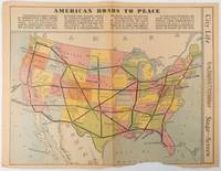
1938ref. 215547Los Angeles.: Los Angeles Examiner. Sunday 1 May1938. Printed colour pictorial map 33 x 48 cms; 41.8 x 54.5 cms sheet central fold sheet toned corners chipped with some loss to the bottom border and at the central fold in good condition; and on the verso "Movie-Go-Round" by Louella O. Parsons black and white photos and advertisements. Pictorial map printed for the weekend supplement of the Randolph Hearst owned newspaper the Los Angeles Examiner. The map-maker and artist Howard Burke had also worked for the San Francisco Examiner and was known for pictorial maps many with a persuasive or rhetorical edge and as here were designed to shore up American patriotism and defences against a wider world in the increasingly turbulent pre-war 1930s. The caption to this map outlines a multi-billion dollar 25 year proposal by Congressman J. Buell Snyder for a network of coast to coast transcontinental highways "in case of an attack by a foreign power at any point along the border". Buell Snyder earned the soubriquet "the father of superhighways" and during the War he was assigned to a Congressional Committee in charge of appropriations for the War Department. Scarce. . Los Angeles Examiner. unknown
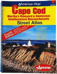
2006ref. 81813aaspArrow Map 2006. 4th. spiral_bound. Good. 10x0x13. Fourth Edition 2006 with a yellow red and blue cover. Wire coil binding. Pages unmarked; mild usage wear. Arrow Map unknown
ref. 1593530137.Gmap. Good. Access codes and supplements are not guaranteed with used items. May be an ex-library book. unknown
1909Two volumes. Volume I text and Volume II maps. A few maps in Volume II torn. Both Volumes XLib. Given by the estate of William G. Price, Jr. Lieutenant General Commander of the Pennsylvania National Guard to PMC Lt. William J. Wolfgram Memorial Library. Sm. 4to. Original quarter leather over cloth covered boards. Spine on volume II very worn. Boards very fragile. Hardbound set. SHELF W21
1936ref. 64218Chicago IL: The Pullman Company Poole Bros. Inc. Railroads of the United States Canada & Mexico 1936. 4to. 24 pp unpaginated. which folds out into giant oblong atlas folio pictorial colour map 32 x 27 in. on verso illustration borders and self-printed over on recto in orange & black w/ photo illustrations slight age toning slight shelfwear couple very slight closed tears still VG bright copy. First edition of this delightful promotional map issued by Pullman & the Poole Bros. for advocating rail travel from British Columbia to Central Mexico Atlantic to Pacific along the Gulf of Mexico and Baja California. The cartographer and cartoonist has filled each area of the map with charming little pictorial vignettes highlighting historic sites National Parks recreational sports and other leisure activities. The Pullman Sleeping Car diagram depicts sections with drawing-room two compartments and double bedrooms with promotional photos. Worldcat locates 4 copies Boston Pub Osher Map Lib. U of MO St. Louis SMU. The Pullman Company, Poole Bros., Inc.], Railroads of the United States, Canada & Mexico, unknown
1992ref. 54494(München), Prestel, (1992). Qu.-4°. Mit zahlr. tlw. farb. Abbildungen. 192 S., OLwd. m. illustr. OUmschlag.
1650Without place, (Basel ca. 1650). 30x36 cm. Fine engraved map of North and South America from Terra del Fuego, Terra Australis Incognita and the Magellan Strait in the south to the unmapped regions in the north. A small map of the known parts og Greenland in inset. Outer left shows the coasts regions of Spain and Africa. Ships and whales in the see. Signed M. Merian fecit (lower right). Clean and fine, broad margins, uncoloured.
1843(Gotha, Justus Perthes), 1843. Engraved map (44 x 34 cm.). Handcoloured in outline. Having both North- and South America. Gest. von W. Behrens.
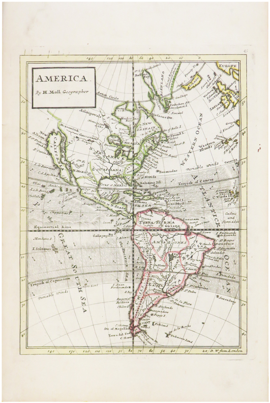
1739ref. LBW-482[Londres, 1739]. 263 x 198 mm.
1783ref. 25418A Paris, chez le Sr Desnos, 1783. 46x64 cm. Engraved map of South America, contemporary handcoloured. The 2 large cartouches uncoloured. Right margin shaved, small tear showing into scale, of which a small part lost (1x1 cm.).
1650ref. 44316Without place, (Basel ca. 1650). 30x36 cm. Fine engraved map of North and South America from Terra del Fuego, Terra Australis Incognita and the Magellan Strait in the south to the unmapped regions in the north. A small map of the known parts og Greenland in inset. Outer left shows the coasts regions of Spain and Africa. Ships and whales in the see. Signed M. Merian fecit (lower right). Clean and fine, broad margins, uncoloured.
1969ref. 1408486Boston: Houghton Mifflin Company 1969. First printing. Hardcover. Octavo xx 656 pages. In Good plus condition with a Fair plus dust jacket. Spine is grey with white and black print. Dust jacket has edgewear with short tears at spine ends and flap corners mild shelf wear. Price unclipped: “$10.00”. Boards in grey cloth black and white print; light wear to spine caps and corners. Text block has penciled name of owner ambassador Paul Bremer. Illustrated: b&w plates photographs and maps. NOTE: Shelved in Netdesk Column Z. 1408486. FP New Rockville Stock. Houghton Mifflin Company hardcover books
1764(København, 1764). Kobberstukket prospekt af Amager Torv. (17,5x26 cm. ) Stukket af J. Haas.
1764ref. 34598(København, 1764). Kobberstukket prospekt af Amager Torv. (17,5x26 cm. ) Stukket af J. Haas.
1985ref. 99378(Braunschweig, Archiv-Verlag), [ca. 1985]. 1 mehrfach gefalt. Karte (Bildmaß 37 x 36 cm).
Granollers, Edit. Alpina, 1957. Mapa topográfico excursionista. Ascensiones y escaladas. Escala 1: 25.000. Entelado. Muy buen ejemplar.
1980ref. 135Hanau Dausien, 1980. 239 S. mit vielen tlw. farb. Abb. 8° Oln Ou
1720Format 50 x 58,5 cm. *Großer kolorierter Stadtplan mit Befestigung und den umliegenden Rheinarmen im oberen Teil. Unten mit einer großen Gesamtansicht von Alt Breisach (Ansicht über den Fluß), rechts und links flankiert von je einer allegorischen Darstellung. - Sehr dekoratives Blatt. Sauber und sehr gut erhalten. Landkarten de
Granollers, Edit. Alpina, 1952. Urbanizaciones, parques, fuentes. Mapa topográfico excursionista. 1:250.000. Mapa entelado y plegado. Con cubiertas de tela cerradas en goma elástica. Buen ejemplar.
1840ref. 807CG(um 1840). Bildgrösse: 35 x 48 cm. Blattgrösse: 42 x 55,7 cm. + Wichtig: Für unsere Kunden in der EU erfolgt der Versand alle 14 Tage verzollt ab Deutschland / Postbank-Konto in Deutschland vorhanden +
1890ref. 628CGZürich, Hofer & Burger, o.J. (um 1890). Lithographie gez. von H. Schmid. Blattformat: 17,5 x 189 cm. + Wichtig: Für unsere Kunden in der EU erfolgt der Versand alle 14 Tage verzollt ab Deutschland / Postbank-Konto in Deutschland vorhanden +
1890ref. 628CGZürich, Hofer & Burger o.J. (um 1890). Lithographie gez. von H. Schmid. Blattformat: 17,5 x 189 cm.
1840ref. 807CG(um 1840). Bildgrösse: 35 x 48 cm. Blattgrösse: 42 x 55,7 cm.
ref. SLIVCN-9782897422516CARACTERE EDITIONS (CA)