AIR FRANCE.Livre Rare Book
12.070 resultados
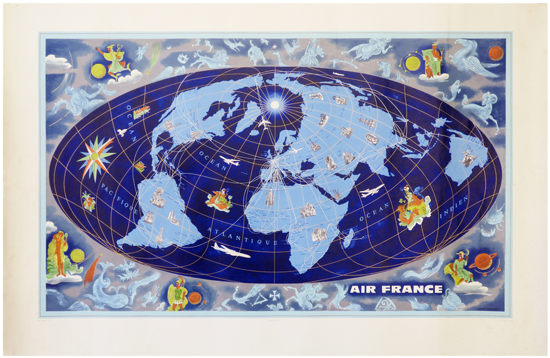
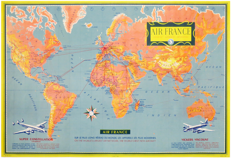
1956ref. LBW-3313Paris, Perceval, 1956. Lithographie en couleurs de 477 x 704 mm.
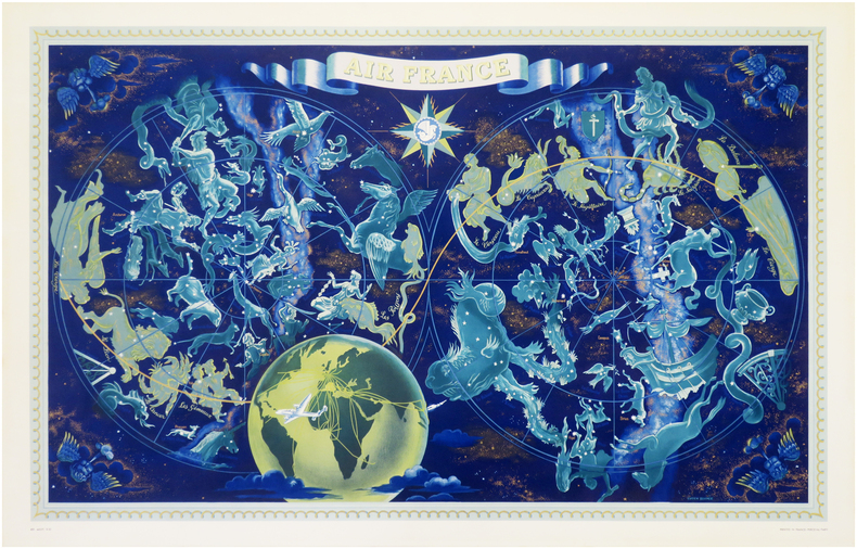
1962ref. LBW-6279Paris, Perceval, [1962]. Lithographie en couleurs de 953 x 592 mm.
1953ref. LBW-7934Paris, Perceval, 1953. Lithographie en couleurs de 0,65 x 1,02 m.
ref. 18087On joint 22 vignettes publicitaires ( cliché ) dont un objet cartonné non daté représentant une montgolfière ( 1935 ?) - Un dépliant des consommation en date de mars 1955 ( N°20) - Une carte Itinéraire France- Proche Orient ( N° 11) . Très bon état de cet ensemble.
1970ref. 91991970 plaquette in-octavo, couverture illustrée en couleurs, illustrations : cartes itinéraires, sans pagination, 10 feuillets, sans date (les années 1950 environ) à Paris Edicta-Paris,
2 Kupferstiche auf 1 Bl. 4to. Zwei Ansichten entnommen aus Vischers "Topographia Archiducatus Austriae Inf: Modernae, seu Controfee und Beschreibung aller Stätt Clöster und Schlösser wie sie anietzo in dem Erzhertzogtumb unter Osterreich". Vgl. Nebehay/W. 783.
2006ref. R200052064LVA. 2006. In-4. Broché. Etat d'usage, Couv. légèrement passée, Dos satisfaisant, Intérieur frais. 119 pages d'illustrations en monochrome dans le texte (légendes). . . . Classification Dewey : 741.68-Illustrations des cartes postales
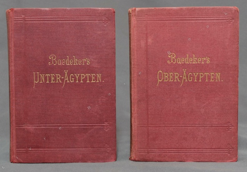
ref. 10496Leipzig, Baedeker, 1894 / 1891. 2 volumes in-12 de CLXXXVIII-256 et XL-400 pages, couvertures souples de percaline bordeaux ornées de filets à froid, titre doré aux dos et aux premiers plats, tranches marbrées. Infimes accrocs aux coiffes, 3 coins très légèrement frottés, premières charnières faibles.
Madrid, Dirección General del Instituto Geográfico y Catastral, 1950. 2ª edición. Mapa publicado por sectores (sector 220). Escala 1:50.000. 56x76 cms. Mapa entelado y plegado. Buen ejemplar.
19581958 offprint of article which first appeared in the British Columbia Historical Quarterly, January-April, 1955. 56 page booklet. "Will enable the reader to form a clearer idea, not only of the way in which the various voyages gradually introduce some measure of clarity into the prevailing views on the geography of these regions, but also of how the explorations of the nationals of various countries interlocked with one another and brought the several governments into conflict for possession of these regions." - from page 7. Unmarked with average wear. A sound copy of this informative work. Book
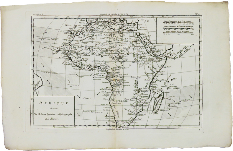
1780ref. LBW-5942[1780]. 213 x 314 mm.
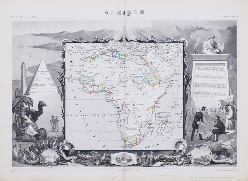
1850ref. LBW-4863Paris, [circa 1850]. 320 x 440 mm.
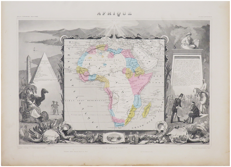
1861ref. LBW-6960Paris, [1861]. 315 x 437 mm.
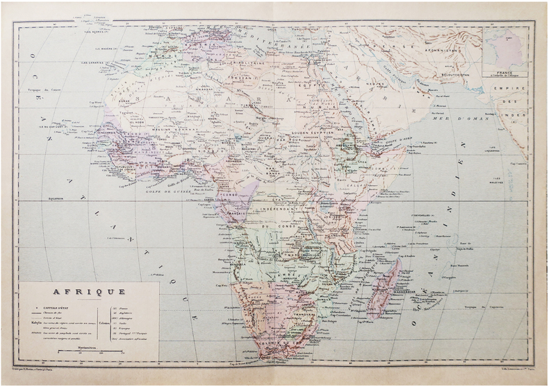
1890ref. LBW-8651Paris, [1890]. 275 x 405 mm.
1967ref. 9730Paris, Gallimard, coll. L'univers des formes, 1967. In-4 de [12]-447-[10] pages, pleine toile rouge avec titre doré au dos et au premier plat, jaquette photographique couleurs. Minimes accrocs en bords de jaquette, pour le reste en parfaite condition.
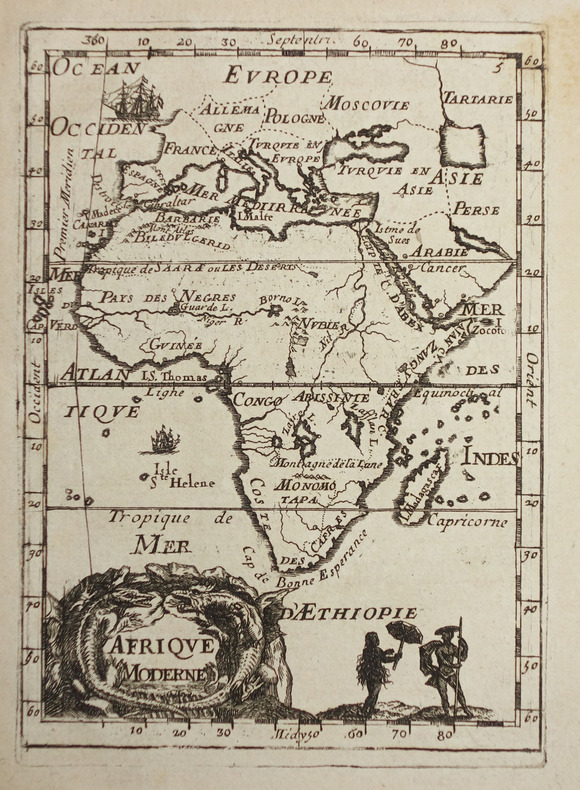
1683ref. LBW-2320[1683]. 144 x 104 mm.
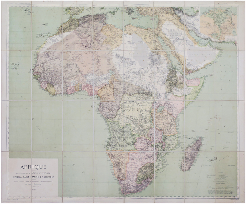
1896ref. LBW-8146Paris, Librairie Hachette & Cie, 1896. En 32 sections montées sur toile et repliées, formant une carte de 0,90 x 1,07 m ; étiquette au dos du graveur-éditeur parisien de cartes géographiques Lanée, successeur de Longuet.
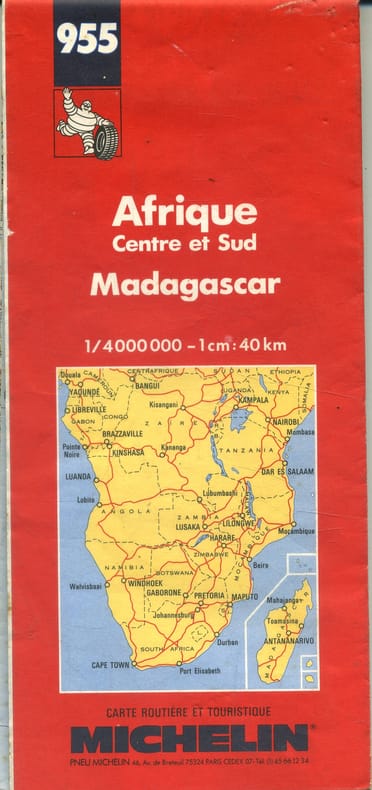
1992ref. 143308- Une feuille 100 x 121 cm, repliée sous couverture rouge.
1939ref. 26453Tornisterschrift des Oberkommandos der Wehrmacht, Abt. Inland., 1939-40. Grande carte dépliante de l’Afrique (67 60 cm.), destinée à l’usage interne de la Wehrmacht. Quelques déchirures sans manques.
1890Gotha, Justus Perthes, o.J. (Ca. 1890). Small folio. (33x22 cm.). Orig. full cloth, gilt lettering with title on frontcover. Small tears to backstrip, edges with light wear. 23 pp. and Africa-map 100x85,5 cm. coloured and folded, mounted on cloth. The map in fine condition.
1890ref. 36348Gotha, Justus Perthes, o.J. (Ca. 1890). Small folio. (33x22 cm.). Orig. full cloth, gilt lettering with title on frontcover. Small tears to backstrip, edges with light wear. 23 pp. and Africa-map 100x85,5 cm. coloured and folded, mounted on cloth. The map in fine condition.
1969Sixth annual edition. No inscriptions or marks to contents. No creasing to covers or to spine. A clean very tight copy with rubbed slightly marked laminated boards. 319pp. With discrete sections on 24 countries identified by a tab index, including United Arab Republic (Egypt) and Rhodesia.
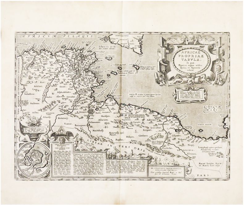
1608ref. LBW01b3a[Anvers, 1608]. 335 x 486 mm.
Format (Bildbereich): 24 x 20,5 cm. Sauber und gut erhalten. Landkarten de
1943pp. xv, 499. Numerous text maps. 8vo. Original full purple cloth binding, slightly spotted. Gilt lettered spine. Fourth edition. AFRICA/3