12.245 resultados
Madrid, Dirección General del Instituto Geográfico y Catastral, 1950. 2ª edición. Mapa publicado por sectores (sector 220). Escala 1:50.000. 56x76 cms. Mapa entelado y plegado. Buen ejemplar.
19581958 offprint of article which first appeared in the British Columbia Historical Quarterly, January-April, 1955. 56 page booklet. "Will enable the reader to form a clearer idea, not only of the way in which the various voyages gradually introduce some measure of clarity into the prevailing views on the geography of these regions, but also of how the explorations of the nationals of various countries interlocked with one another and brought the several governments into conflict for possession of these regions." - from page 7. Unmarked with average wear. A sound copy of this informative work. Book
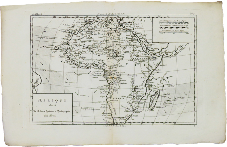
1780ref. LBW-5942[1780]. 213 x 314 mm.
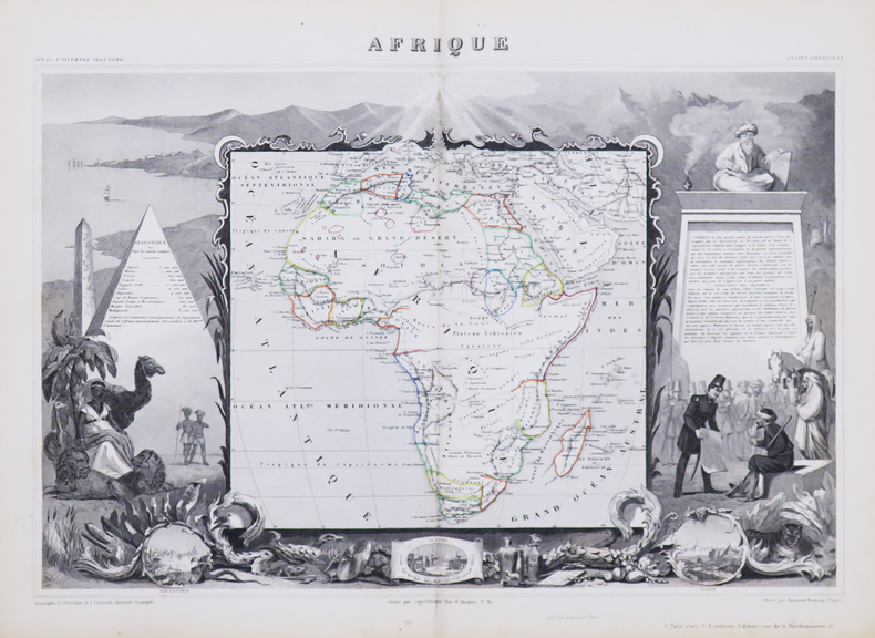
1850ref. LBW-4863Paris, [circa 1850]. 320 x 440 mm.
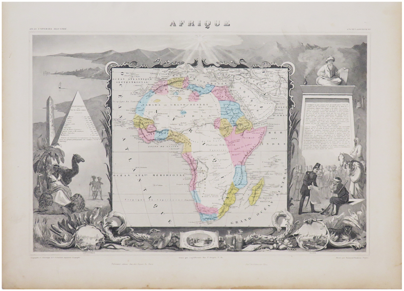
1861ref. LBW-6960Paris, [1861]. 315 x 437 mm.
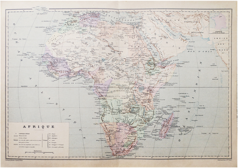
1890ref. LBW-8651Paris, [1890]. 275 x 405 mm.
1967ref. 9730Paris, Gallimard, coll. L'univers des formes, 1967. In-4 de [12]-447-[10] pages, pleine toile rouge avec titre doré au dos et au premier plat, jaquette photographique couleurs. Minimes accrocs en bords de jaquette, pour le reste en parfaite condition.
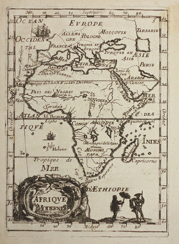
1683ref. LBW-2320[1683]. 144 x 104 mm.
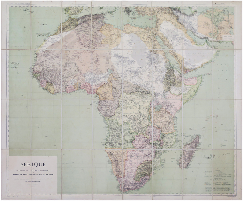
1896ref. LBW-8146Paris, Librairie Hachette & Cie, 1896. En 32 sections montées sur toile et repliées, formant une carte de 0,90 x 1,07 m ; étiquette au dos du graveur-éditeur parisien de cartes géographiques Lanée, successeur de Longuet.
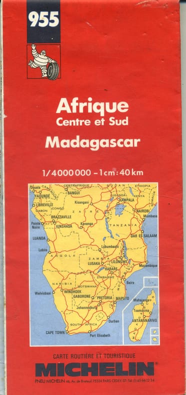
1992ref. 143308- Une feuille 100 x 121 cm, repliée sous couverture rouge.
ref. 26453Tornisterschrift des Oberkommandos der Wehrmacht, Abt. Inland., 1939-40. Grande carte dépliante de l’Afrique (67 60 cm.), destinée à l’usage interne de la Wehrmacht. Quelques déchirures sans manques.
1890Gotha, Justus Perthes, o.J. (Ca. 1890). Small folio. (33x22 cm.). Orig. full cloth, gilt lettering with title on frontcover. Small tears to backstrip, edges with light wear. 23 pp. and Africa-map 100x85,5 cm. coloured and folded, mounted on cloth. The map in fine condition.
1890ref. 36348Gotha, Justus Perthes, o.J. (Ca. 1890). Small folio. (33x22 cm.). Orig. full cloth, gilt lettering with title on frontcover. Small tears to backstrip, edges with light wear. 23 pp. and Africa-map 100x85,5 cm. coloured and folded, mounted on cloth. The map in fine condition.
1969Sixth annual edition. No inscriptions or marks to contents. No creasing to covers or to spine. A clean very tight copy with rubbed slightly marked laminated boards. 319pp. With discrete sections on 24 countries identified by a tab index, including United Arab Republic (Egypt) and Rhodesia.
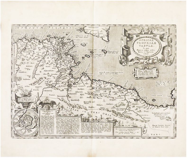
1608ref. LBW01b3a[Anvers, 1608]. 335 x 486 mm.
Format (Bildbereich): 24 x 20,5 cm. Sauber und gut erhalten. Landkarten de
1943pp. xv, 499. Numerous text maps. 8vo. Original full purple cloth binding, slightly spotted. Gilt lettered spine. Fourth edition. AFRICA/3
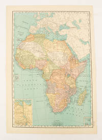
1899ref. 174902New York.: Rand McNally & Co. 1899. Printed colour map 36.3 x 24.3 cm inset map of the Suez Canal and two smaller insets of the Cardagos Crayos Islands Mascarene Islands and Cape Verde Islands central fold and on the verso a printed panel listing the countries in Africa with their territorial governance area and population lower corner creased at the outer margin but in very good condition. An interesting late nineteenth-century map noting colonial governance. . Rand, McNally & Co. unknown
1880ref. 174956London.: The London Printing and Publishing Company. Circa1880s. Printed map 24 x 32.1 cm decorative border two original vertical folds paper toned mainly at the edges inner margin of the sheet ragged but in good order. A late edition of the map used for the well-known Tallis map this without the characteristic vignettes and on thinner paper. . The London Printing and Publishing Company. unknown
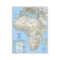
2013ref. 1-0792250109Natl Geographic Society Maps 2013. Map. New. lam map edition. 1 pages. 23.70x1.70x1.10 inches. Natl Geographic Society Maps unknown
1936ref. 91525Milano: Touring Club Italiano 1936. Very Good. 12 of 37 unbound sheets. 4p.center 2 pages are 34 cm. x 25 cm. map. Partly colored. Scale: 1:1000000. Italian text. Touring Club Italiano unknown books
1936ref. 91525Milano: Touring Club Italiano 1936. Very Good. 12 of 37 unbound sheets. 4p.center 2 pages are 34 cm. x 25 cm. map. Partly colored. Scale: 1:1000000. Italian text. Touring Club Italiano unknown
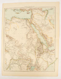
1895ref. 175108London.: Times Atlas of the World. 1895. Double-page folding map printed in colour 46.5 x 36.5 cm. edges gilt central fold with an inset map of Somaliland Somalia and the island of Sokotra key to European possessions outlined in colour small edge fold tears affecting the margin only and two other small edge tears slight toning at the edgaes but in very good condition. Attractive and detailed map prepared for the first edition of "The Times Atlas of the World". . (Times Atlas of the World). unknown
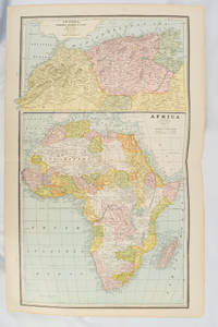
1894ref. 177068Chicago.: Geo. F. Cram. 1894. Chromolithographed maps 54.3 x 34.1 cm sheet central fold a few small edge tears and marginal age toning but in very good condition. Detailed maps prepared for George F. Cram's 1894 "Standard American Atlas": one of the first American firms to publish a world atlas. Maps of Oceania and South Africa printed on the verso. . Geo. F. Cram. unknown
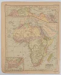
1877ref. 177229New York.: Ivison Blakeman Taylor & Co. circa1877. Printed colour map 27.5 x 21.7 cm large inset of Northern Africa and a smaller of Southern Africa two small edge tears lower corner neatly strengthened the sheet toned but the map in good condition unrelated text printed on the verso. Map of Africa as a whole before the Imperial race for colonies in the 1880s with interesting insets of Northern and Southern Africa. . Ivison, Blakeman, Taylor & Co. unknown