ANONYMELivre Rare Book

12.070 resultados
1664ref. 1099721664 A Paris, Chez Iean Guignard le fils, en la Grand' Salle du Palais, à l'Image S. Iean - M. DC. LXIV. (1664) - Avec privilège du Roy - In-16 (7,5 x 14cm environ), reliure pleine peau claire, 5 nerfs, filets dorés au dos ainsi qu'en encadrements des 4 plats, pièce de titre rouge au dos, tranches rouges et signet - 467 pages + Table des chapitres - Avec des bandeaux, lettrines et cul-de-lampe - Griffe du relieur "T. Bouché" au fer à dorer, dans le coin supérieur gauche de la première de garde
ref. 6619in 8 demi-cuir marron à coins pièce de titre cuir clair, roulette, filets dorés.faux-titre,titre,736 pages,onze cartes dépliantes en couleurs H.Langlois éditeur 1808.Bon exemplaire
ref. 14Paris, imp.-lib. Dentu, 1805 - in-8 : xxxi, 780 pp., 9 cartes dépl. h.t. - demi-rel. bas. de l’ép. défraîchie (1 coiffe manquante) ; très belles cartes dépl. gravées de la mappe-monde (déchirure sans manque) et ses continents, dont les contours sont coloriés .
ref. 29076aafLille, Leleux, 1812, in-8°, 2 ff. + IV + 243 p., avec 2 cartes gravées dépliantespar Robert de Vaugondy (Europe et la France), papier quelque peu bruni, cartonnage en papier peint moucheté.
ref. 15445Paris, Hôtel de Thou [et] Laporte, 1780 [et] 1786. 23 volumes in-8 et un volume in-4 pour l'atlas. Plein veau raciné brun, dos lisses ornés de filets et fleurons dorés, pièces de titre et tomaison en maroquin rouge. Accident de vers aux volumes 18 et 22, et une tache aux derniers feuillets du vol. 12. Menus défauts à quelques coiffes et quelques coins frottés.
ref. 8990physique, historique, politique, ancienne et moderne. Précédé d’une introduction historique et suivi d’un aperçu de la géographie ancienne par M BALBI, La RENAUDIERE et HUIT. Mention de 3ème édition considérablement augmentée. Fort grand in 8 pleine toile noire, titre doré, faux-titre, titre, VIII, 876 pages, 1 page de liste des trente huit vues et cartes qui accompagnent l’abrégé. Texte sur 2 colonnes. Complet des 25 gravures sur acier, hors-texte, sous serpentes. Des 10 cartes en couleurs sur double page, montées sur onglets. De la planche de mathématique sur double page, des deux tableaux comparatifs de la hauteur des principales montagnes, de la longueur des fleuves. Paris Furne & Cie Aimé André libraires éditeurs 1842. Rousseurs plus ou moins fortes, habituelles, dos insolé. Sinon bon exemplaire.
1991No marks or inscriptions. No creasing to covers. A very clean very tight copy with bright unmarked boards, minor traces of storage and no bumping to corners. 64pp. Government tourist publication describing the country's history, politics, culture, industry, sport and the rest.
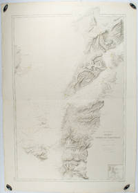
1883ref. 178272Paris.: Service hydrographique et océanographique de la marine. 1883 but1894. Engraved hydrographical chart on watermarked double sheet 99 x 63 cm soundings in metres lighthouses picked out in yellow and red inset map of the port and town of Tenedos central fold a few very slight edge tears to the generous margins light spotting and surface soiling but in very good condition. Fine and impressive large naval chart of this strategically important strait then still under the control of the Ottoman Empire. From a private collection; "Lord John Fitzroy Royal Yacht Squadron" in manuscript on the verso. . Service hydrographique et océanographique de la marine unknown
Folding map. Ca. 755 x 570 mm. Scale 1:250,000. Military geological map of 'Abl Ghamghimah in the Eastern Province of Saudi Arabia. Prepared by the U.S. Army after aerial photography in December 1954 and January/February 1955. Reprinted for the UK Ministry of Defence with their stamp: "Limited distribution. U.K. officials are not to release the map outside government service". The chart details the average relative heights of sand dunes as well as sabkhas and water wells. - Occasional light browning.
1990ref. 6490Grancher Broché , format 14x20cm environ , bel ensemble , 221 pages .
ref. 12315- Le Club, 2001 Fort Volume au format 12.5 x19 cm, reliure pleine toile titrée en doré en creux sous jaquette jaune et noire, bel exemplaire, 1344 pages.Présentation de Jacques Baudou Bibliographie filmographie de Jean-Jacques Schléret. Volume 5 de la collection: « Les années 1936-1937 »
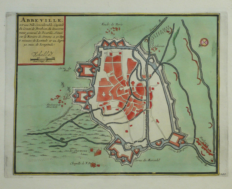
1702ref. LBW-1327Amsterdam Pierre Mortier 1702 216 x 273 mm.
ref. R240072252LOUYS BAUER. NON DATE. In-12. Broché. Etat d'usage, Couv. défraîchie, Dos satisfaisant, Intérieur acceptable. 11 cartes postales en sépia sous serpente (collationnées) manque des cartes postales - coins frottés - tâches brunes sur les plats.. . . A l'italienne. Classification Dewey : 741.68-Illustrations des cartes postales
1996Elephant folio, 92 pages, colour maps. Covers creased. eng
1982No marks or inscriptions to contents. No creasing to covers or to spine. A lovely clean tight copy with bright unmarked boards and no bumping to corners. Maps plus 224pp.
1969No marks or inscriptions to contents. Minor creasing to covers. A clean copy with very slightly marked covers. 49pp. A nostalgic look at the campsites available in the 1960s in parts of Europe. Very large fold-out map of the four countries at rear in excellent condition. Scarce.
2013ref. 25772Genève, Editions Notari 2013. In-4 fin, très fin, à l'état de neuf, sous emballage d'origine.
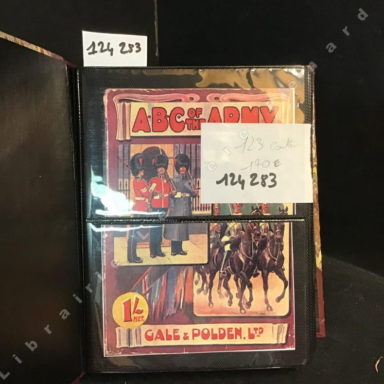
2012ref. 1242832012 Cale et Polden LTD, Sansdate ( 20ème siècle) - Présentation des 123 cartes dans un album photo moderne - Illustrations en couleurs de chaque costume militaire (Voir photos)
ref. 5828Carte routière dépliante couleur, A. Taride, Paris, SD
200344 pages, colour street maps. eng
2001264 pages, colour maps, index. eng
200096 pages, maps, index. eng
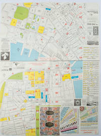
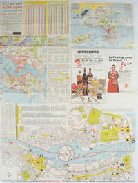
1977ref. 161880Hong Kong.: A-O-A Ltd. June/July1977. Coloured tourist maps of Hong Kong printed both sides on a sheet folded. One general area map of Hong Kong and three detailed street maps featuring Kowloon Peninsula Tsimshatsui and Central District. Generally in very good condition text in traditional Chinese English and Japanese. Sheet measures 58.2 x 43cm. The tourist maps include currency rate tourist advice advertisements for foreign and local brands and shops e.g. A-O-A Gambling Handbook for Macau Duty Free shopping centres Chinese Arts & Crafts centres acupuncture clinic etc. The maps of Central and TST have the names of many hotels businesses post offices etc marked on them. . A-O-A Ltd. unknown
1976ref. 161881Hong Kong.: Walter K. Hoffman. January/February1976. Coloured tourist map brochure of maps of Hong Kong printed both sides six maps in total folded. Brochure also includes advertisements currency rates. Minor tears along folds otherwise in good condition. Text in traditional Chinese English and Japanese. Sheet measures 58.2 x 43.4cm. Sheet includes 6 individual maps: Map of British Crown Colony of Hong Kong Map of the Urban Area with routes for public transportation Map of Tsimshatsui large scale street map Map of Central District large scale street map Map of Wanchai large scale street map Map of Causeway Bay large scale street map Map of Portuguese Overseas Province of Macau. On the maps of Central and TST the names of many businesses hotels etc are marked. . Walter K. Hoffman. unknown
2004Mm 240x290 Photos by Mauro Magliani. Printed Pages: 318 with colour illustrations throughout. Brand new in original shrinkwrap.