[Maps] Holmes, Burton (ed)Biblio.com
12.201 resultados
1929ref. 4297Meadville PA: Keystone View Company 1929. 3rd Edition. Hardcover. Very Good. Third edition 1929 12mo 321pp ix pamphlet with three location maps in rear pocket. 3/4 black morocco over blue cloth gilt stamped on spine. Very good with moderate to heavy spotting and soiling to boards. Some moisture staining to fore-edge of page block mainly at the rear index else clean internally. Keystone View Company hardcover
1879ref. 20578Paris, Librairie Hachette et Cie, 1879. 2 volumes in-4 de [12]-496-[2] et [6]-544 pages, demi-chagrin brun, dos à nerfs.
ref. 5674découverte des sources méridionales du Nil, circumnavigation du lac Victoria et du lac Tanganika, descente du fleuve Livingstone ou Congo jusqu’à l’atlantique.Durée de l’expédition 990 jours,distance parcourue 11571 km.Traduit de l’anglais avec l’autorisation de l’auteur.Deux tomes en deux volumes in 8 demi-chagrin rouge d’époque,titre,roulette,filets,dorés.Tome1:faux-titre,frontispice portait de STANLEY,titre,6 pages,IV,Une carte en couleurs Stanley 1874-1877.490 pages,nombreuses illustrations gravées sur bois dans et hors-texte.Six cartes en couleurs dont une très grande dépliante(78x87cm) en fin de volume.Tome 2:Faux-titre,frontispice,titre,544 pages,nombreuses illustrations dans et hors-texte. 3 cartes dont une très grande dépliante, en couleurs(70x87 cm),en fin de volume.Hachette & Cie 1879 édition originale de la traduction française. Quelques petites rousseurs en début et fin de volume,sinon très bon état.
1893ref. 10026Paris, Librairie Hachette et Cie, 1893. In-4 de [4]-368 pages, demi-cartonnage façon toile bleue, pièce de titre noire avec titre doré au dos.
1845(4) SS., 46 gest. Karten mit originalem Grenzkolorit. Originaler dunkelgrüner kopertartiger Ganzlederband mit goldgeprägtem Deckeltitel. 8vo. Hübscher Taschenatlas der englischen Grafschaften (mit Isle of Wight und Kanalinseln; Irland, Wales und Schottland als Übersichtskarten) unter Angabe der Straßen und Eisenbahnverbindungen. Durchgehend mit der Angabe "Engraved by Sid.y Hall".
Locally produced guidebook to Crete with large fold out maps and plans Translated into English by Katerina Rooke. 68p.+12 pages of plates and a large fold out map.Slight scuffing to paper wraps. Book
1820pp. 322, (2) + Engraved plate with two views + Folding engraved map. 24mo. Contemporary half leather binding, with the spine nicely tooled in gold and blind. **PRICE JUST REDUCED! W140 FarRt
ref. 0282061835.Gpaperback. Good. Access codes and supplements are not guaranteed with used items. May be an ex-library book. paperback
1904352p. + color maps. Numerous text maps, photographs and drawings. Decorated title page stamped with a Glasgow bookseller's label. Lacks first and last endpapers. Small 8vo. (7") Original full red cloth binding, decorated and lettered in black. Binding soiled. Hardbound. ENGLAND BOX 2
1909ref. 52792Boston: The Bullard Co. Inc. 1909. Large folding accordion-style folded map printed in red & black sized 41 x 38 in. which when entirely folded into covers measures 5.5 x 11.25 in. Original burgundy-coloured boards small lozenge map of New York & Pennsylvania on front cover some edgewear rubbing minor tidemark to upper fore-edge of 1 corner still VG- copy. Second edition revised of this scarce and well documented map showing good roads for automobile travel railroads canals new Erie Barge Canal Steamship lines ferries lighthouses electric railway lines and more. First published in 1908 and then again in 1910 MacNair drew from US government surveys State surveys and other original commercial sources. Worldcat locates 2 copies. The Bullard Co., Inc., hardcover
17478vo [22 x 13.5 cm]; xii, 108 pp, folding engraved map, with the half title page. contemporary marbled boards, leather spine, covers worn, joints repaired with leather, lacks front blank endpaper, map with old one inch tear repaired, interior is very good. A picture of this book is available upon request by email. Sabin 38488. A French-Spanish expedition was sent to South America in 1736, to measure a degree of latitude in the area near Quito where the equator crossed, to determine the size and shape of the earth. The ten year expedition proved that the earth is flattened at the Poles. La Condamine returned by crossing Brazil via the Amazon. His narrative of his journey was of great importance, because for the first time the long course of the Amazon was traversed by a man of science capable of making astronomic observations, and determining longitudes.' [Borba de Moraes, I, 447] The fine engraved map of the Amazon and its tributaries accompanying the text was drawn by La Condamine himself, and is the first map in which the latitudes were observed and shown on the map. Cox ii, 273: 'La Condamine returned to the east coast of the continent by descending the Amazon, the first time it was accomplished by a scientist'. Hill 169: 'the greatest geographical event of the eighteenth century as regards South America. . . to measure one exact degree of meridian to determine the dimensions and shape of the earth. . . the work occupied eight years'. Goodman 495: 'A very useful abridgment of this indispensible work, entirely satisfactory for nearly all purposes'. Spain & Spanish America I, 369.
17478vo [21x 13 cm]; xii, 108 pp, folding engraved map, with the half title page. contemporary full leather, spine worn, joints repaired, light foxing including on map, but mostly marginal, internally clean and very good. A picture of this book is available upon request by email. Sabin 38488. A French-Spanish expedition was sent to South America in 1736, to measure the degree of latitude in the area near Quito where the equator crossed, to determine the size and shape of the earth. The ten year expedition proved that the earth is flattened at the Poles. La Condamine returned by crossing Brazil via the Amazon. His narrative of his journey was of great importance, because, for the first time, the long course of the Amazon was traversed by a man of science capable of making astronomic observations, and determining longitudes.' [Borba de Moraes, I, 447] The fine engraved map of the Amazon and its tributaries accompanying the text was drawn by La Condamine himself, and is the first map in which the latitudes were observed and shown on the map. Cox ii, 273: 'La Condamine returned to the east coast of the continent by descending the Amazon, the first time it was accomplished by a scientist'. Hill 169: 'the greatest geographical event of the eighteenth century as regards South America. . . to measure one exact degree of meridian to determine the dimensions and shape of the earth. . . the work occupied eight years'. Goodman 495: 'A very useful abridgment of this indispensable work, entirely satisfactory for nearly all purposes'. Spain & Spanish America I, 369.
1806ref. 009589London: Printed for Richard Phillips Sold By Souter No. 1 Pater-noster-row. 1806. Book. Very Good. Hardcover. First Edition. Large 4to. A very good "large paper" copy with uncut edges leaf size approximately 285mm x 225mm with a few additional items bound in. Pp. xiv 2 530 ii ii. 16 hand-tinted aquatints of which several folding map plus an additional contemporary hand-coloured map of Ireland as frontispiece. Contents: frontispiece quarto format map - engraved for the Poem of Erin. The folding plate of Dublin shown as the frontispiece in the "Directions for Placing the Plates" has been bound in opposite the first page of text title page dedication prefacecontents errata directions for placing the engravings main body of the text additional page on St. Patrick from "Guide to Knowledge" bound in at rear before the Publisher's adverts cutting from the Times 1842 entitled "Robert Emmet and the Gaoler of Kilmainham" pasted to rear paste-down. Original paper-covered boards with recent pebbled cloth spine to match original with the original paper title-label applied to the spine binding in very good condition. Contents very good the uncut edges are a little worn in places and a couple of a small near-contemporary oval stamps of the "Baptist College Bristol" to the front end paper no other marks. Paper in very good condition without any obvious staining minimal foxing almost completly confined to the tissue guards maps and plates all very good clean and crisp short repaired tear to the edge of page 318 not nearly affecting the text. A very good to fine copy. Printed for Richard Phillips, Sold By Souter, No. 1, Pater-noster-row. Hardcover
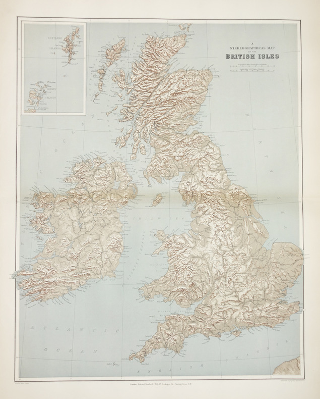
1896ref. LBW-2864London, Edward Stanford, [1896]. 605 x 478 mm.
1994No marks or inscriptions. No creasing to covers. A very clean very tight copy with bright unmarked boards, very minor traces of storage and no bumping to corners. 57pp. A mainly illustrated tribute to the beauty and diversity of the Australian city of Sydney.
ref. 0195620410.Ghardcover. Good. Access codes and supplements are not guaranteed with used items. May be an ex-library book. hardcover
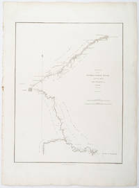
1796ref. 209283London.: George Nicol. 1796. Engraved copperplate map on Whatman paper 43.8 x 33.6 cm; 57 x 42 cm sheet including plate markscale in nautical and English miles; light undulation to sheet marginal toning and edgewear but in very good condition. Finely engraved and detailed map of two routes to Pekin Beijing along the White River Baihe from the Gulf of Petcheli and along the Imperial Highway from Jehol and includes commentary locating palaces and gardens type of cultivation "many barges" and "the road shaded by willow trees". The map elegantly drawn by Henry William Parish was published in George Staunton's account of Earl Macartney's embassy to China 1792-1794. . George Nicol. unknown
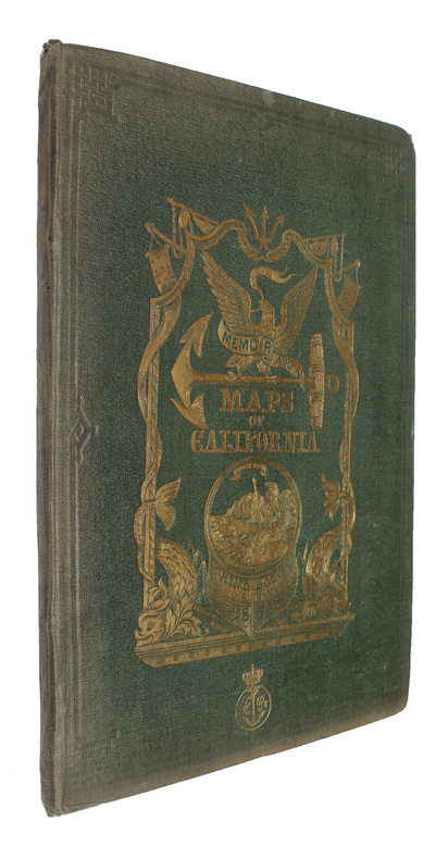
1851Washington, Jno. T. Towers, 1851. 4to. In publishers original full pictoral green cloth. Front and back board with embossed title and ornamentation, showing an eagle holding a banner and anchor beneath whom Columbia sits holding the shield of California with a bear asleep at her feet. Front board in gold. Lower front board with gilt stamp. Stamp to front free end-paper and title-page. Light wear to extremities and internally with light occassional miscolouring. 44. pp. + 11 lithographic plates including frontispiece and 6 folding maps.
1851ref. 53713Washington, Jno. T. Towers, 1851. 4to. In publishers original full pictoral green cloth. Front and back board with embossed title and ornamentation, showing an eagle holding a banner and anchor beneath whom Columbia sits holding the shield of California with a bear asleep at her feet. Front board in gold. Lower front board with gilt stamp. Stamp to front free end-paper and title-page. Light wear to extremities and internally with light occassional miscolouring. 44. pp. + 11 lithographic plates including frontispiece and 6 folding maps.
ref. 0366016326.Gpaperback. Good. Access codes and supplements are not guaranteed with used items. May be an ex-library book. paperback
1929pp. cvi, 596, (24)[Advertisements] + numerous large folding maps. Endpapers advertising Thos. Cook & Sons Travel Organization. Discrete stamped ownership of Mrs. Alvin F. Fix, York, Pa. on title page and elsewhere. Mr. Fix was a PA Democrat. Delegate to Democratic National Convention from Pennsylvania, 1936. 12mo. Original full red cloth binding. Hardbound. Nice copy. TRAVEL/1
1928pp. cvi, 596, (32)[Advertisements] + numerous large folding maps. Endpapers advertising Thos. Cook & Sons Travel Organization. Inked ownership of Helen M. Hafer, Hanover, PA. Paris bookseller's label. 12mo. Original full red cloth binding, lettered in gold. Original dust jacket, chipped with small loss. Hardbound. Nice copy. TOURISM; CLOTHING; VOYAGE; PASSPORTS; CYCLING; AIR LINES; RAILWAYS; FOLDING MAPS; HAFER; HANOVER TRAVEL/1
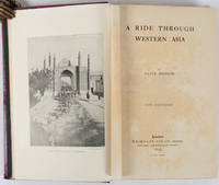
1897ref. 176109London.: Macmillan and Co. Limited. 1897. Photographic frontispiece of 'The Shah returning to Teheran' and numerous full page photographic illustrations four folding printed colour maps marginal spotting xii 275 pages 23 x 15 cm original red glazed red cloth boards occasional spotting the cloth a little marked and flecked the spine sunned but in very good condition. An extensive and intrepid modern Grand Tour account through Constantinople and Turkey to Persia and Central Asia with 34 striking photographic plates. Clive Bigham was an Honorary Attaché to the British Embassy at St. Petersburg and war correspondent in the Near East travelled at the very height of the Armenian troubles when the strict orders had been issued by Turkey that Asia Minor was to be closed to Europeans. Burrell 94. This item is held off-site. Please note there may be a few days delay while it is brought into our shop for viewing or mailing to you. Thank you for your understanding. When referring to this item please quote stockid 176109 . Macmillan and Co. Limited. hardcover
ref. 0265666813.Gpaperback. Good. Access codes and supplements are not guaranteed with used items. May be an ex-library book. paperback
1881ref. ABE-EBAY-197700219739London: Kegan Paul 1881. Hardcover. Good. A Polar Reconnaissance. Being the Voyage of the ""Isbjörn"" to Novaya Zemlya in 1879. By Albert H. Markham. With Maps and Illustrations. London: C. Kegan Paul 1881. 10 engravings 6 of them full-page plates 2 folding maps. Top and bottom of spine significantly chipped other extremities rubbed spine sun-faded a little scuffing and staining. Pages yellowed with an occasional bit of foxing smudge minor blemish; there are a couple of light pencil marks; a blank page at the end has a few pencil notes. Binding cracked and weak one signature is detached a couple of others are loosening. Owner bookplate James Richardson. Kegan Paul hardcover