12.070 resultados
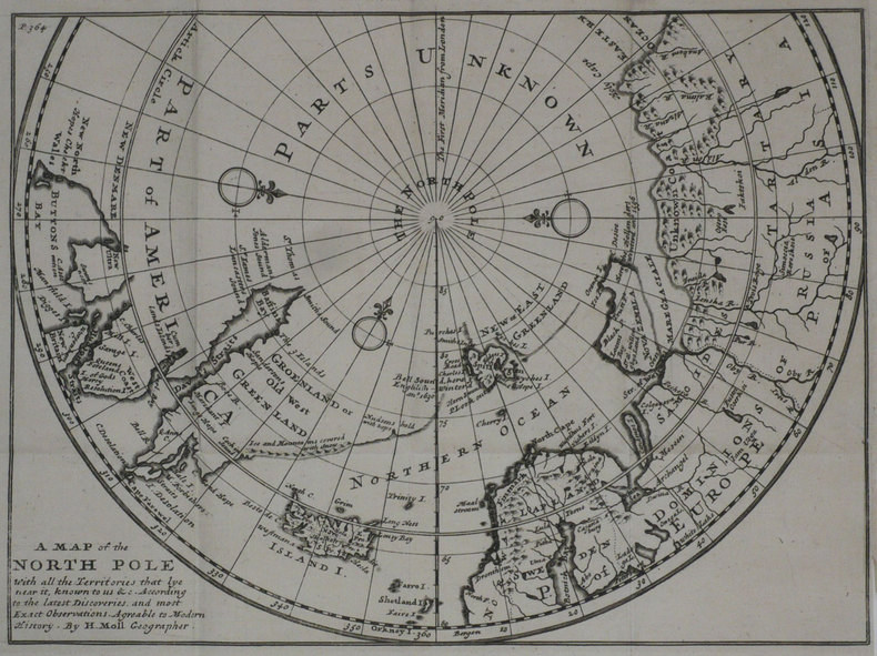
1700ref. 86515London / Oxford, [ca. 1700). Kupferstichkarte mit zartem Grenzkolorit. Mit wappengekrönter, von figürlicher Staffage umgebener Titelkartusche, Windrose, Meilenzeiger u. Legende. Plattengröße 36,5 x 48,5 cm. Gerahmt (42,3 x 51,9 cm).
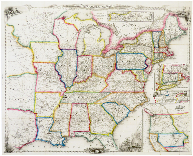
1852ref. LBW-6388New York, Sherman & Smith, 1852. 550 x 685 mm, sur papier fin.
1790ref. CC136G.G.J. and J. Robinson in Pater-noster Row.: Charles Dilly in the Poultry 1790. Hardcover. Very Good. 101-928pp. Worn original full calf binding with the front board detached but present. LACKING THE REAR BOARD. Illustrated with a correct set of maps by Mr Kitchen. Double page folding maps three with colour BY A YOUNG HAND!. Unlisted chart of the world showing the latest Captain Cook's discoveries bound in at p867. finis. LACKING THE BACK BOARD But a complete text block and plates.215x130mm. 21 plates and the Sphere plate present. A couple of plates hand coloured in outline. An additional CHART OF THE WORLD bound in at the rear. Most maps map two or three creased. A NICE COLLECTION Charles Dilly in the Poultry hardcover
ref. 1332740154.Gpaperback. Good. Access codes and supplements are not guaranteed with used items. May be an ex-library book. paperback
1839536 p. LACKS folding map. Lacks front fly leaves. Text illustrations. XLib blind stamp of A. Herr Smith Memorial Library on title page. XLib stamp of Free Public Library, Lancaster, PA on title page. XLib stamp on all edges. First three signatures damp stained on bottom corner. Foxed. First four leaves including title page chipped at edges. 8vo. 235 mm. Original full leather binding, worn. Front board fragile. Hardbound. Fair. S&S/AI 55257. PAIMP 10
1802ref. 1610270044imprint of Samuel Etheridge 1802-01-01. Leather Bound. Good. Bound in contemporary full calf. Gilt ruled red leather spine label. Wear rubbing to cover. Solid binding. 712 pages 18 pages of plates : illustrations 17 folded maps ; 23 cm. Intended as the second volume to the American Gazetteer. Scattered foxing. imprint of Samuel Etheridge hardcover
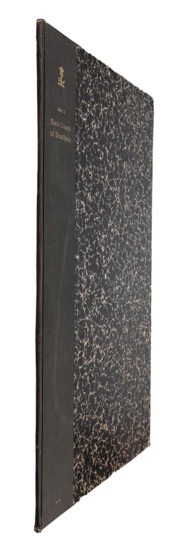
1810(London, ca. 1810). Folio. (45 x 28 cm.). Later hcloth. Gilt lettering on upper cover. 4 pp. in folio. + engraved map (44 x 52 cm.) Chart of the East Coast of Scotland Bu John Thornton. Left and right margins shaved (no loss of image). Light browning and a few brownspots.
1810ref. 55309(London, ca. 1810). Folio. (45 x 28 cm.). Later hcloth. Gilt lettering on upper cover. 4 pp. in folio. + engraved map (44 x 52 cm.) Chart of the East Coast of Scotland Bu John Thornton. Left and right margins shaved (no loss of image). Light browning and a few brownspots.
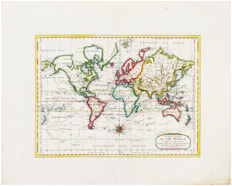
1788ref. LBW-6653London, Robert Sayer, 1787 [1788]? 304 x 410 mm.
ref. 1528204697.Gpaperback. Good. Access codes and supplements are not guaranteed with used items. May be an ex-library book. paperback
1987Colour map. eng
1991Appears unread. Signed to front end paper 'With the publisher's compliments M.T.D. Rigg, Dec 01'. No other marks or inscriptions. A lovely clean very tight copy with bright unmarked boards and no bumping to corners. Dust jacket not price clipped or marked or torn or creased. 386pp. The original travel/history account was published in 1858. This is the second edition facsimile.
1994256 pages. Index. Bibliography. Black and white illustrations. "The author's first hand account is one of continous activity with great detail on all the actions fought and sinkings which occured. This is truly an historic book supported by maps, photographs and extensive data with a full index. There is much anecdotal material including an interview with the German submarine commander who sank the Barham and is now a resident of Canada." - from dust jacket. Book practically as new. Dust jacket in beautiful condition and now in archival-grade Brodart protective cover. Its spine is a different shade of green than that of the front and back panels. We do not know if this is by design or the result of sunning. Gift quality. Excellent copy. Book
1739ref. LBW-1194Londres 1739 201 x 271 mm.
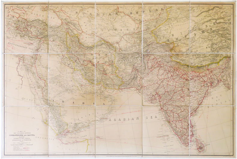
1912ref. LBW-6838London, Edward Stanford, 1912. En 15 sections montées sur toile et pliées, formant une carte de 0,68 x 1,02 m.
ref. mon0003321896Edward Stanford. Good. . This is a large folding coloured linen backed map. Map is clean with minimal wear. No copyright date is given. Edward Stanford unknown
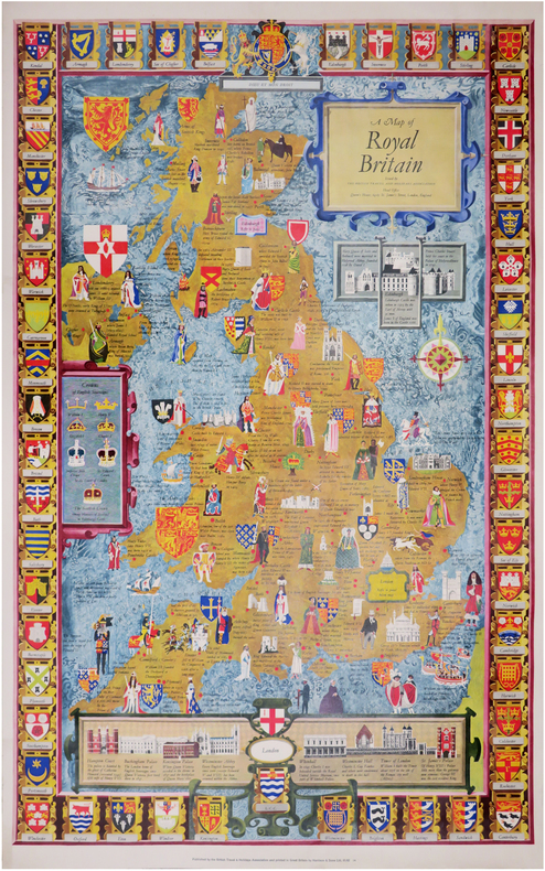
1960ref. LBW-8445Londres, British Travel and Holidays Association, [circa 1960]. 983 x 608 mm.
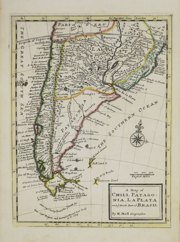
1736ref. LBW-3519[Londres], Thomas and John Bowles, [circa 1736]. 276 x 206 mm.
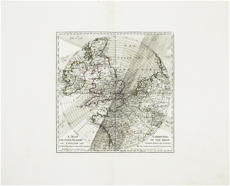
1788ref. LBW-6417London, Robert Sayer, 1787 [1788]. 300 x 295 mm.
19598vo, 66 pages, maps. eng
1852ref. 180552London.: Longman Brown Green & Longmans. Second Edition. 1852. 5 folding mathematical projections at the rear. v 143pp plus 5 pages of publisher's adverts. Original cloth lettered in gilt on the spine and ruled in blind title page slightly browned head & tail of spine slightly chipped else a lovely clean copy. A presentation copy "With the Author's Cordial Regards' dated July 6th" 1854. 17.5x 10.5cm Born in Westminster London in 1818 William Hughes was a prolific mapmaker geographer engraver printer and publisher. . Longman, Brown, Green, & Longmans. hardcover
1987A clean, unmarked book with a tight binding. Bluecover with pasted-down illustration. 9"w x 7 3/4"h. 256 pages.
1950ref. LBW-8425Londres, British Travel Association, [circa 1950]. 101,2 x 63,7 cm.
1912ref. 30210HBDJ STATED 1ST PUBLISHED THIS EDITION 1912 SMALL PURPLE EMBOSSED CLOTH CVRLITE RUB WEAR VG/VG AS-IS BACK OF DJ MENTIONS OVER 960 VOLUMES ENDS WITH ZOLA 226 PGS INDEX LIST OF TITLES OUTER SPINE CVR HAS SMALL NICK DEALS WITH COUNTRIES OF ASIA WHOSE HISTORY & GEOGRAPHY ARE ALIKE RELECTED IN MAPS. & CHARTS THAT FOLLOW Philipine Islands JAVA EAST INDIES AUSTRALIA MADRAS CEYLON SIBERIA KOREA MANCHURIA JAPAN SINGAPORE FAR EAST ETC J. M.DENT EVERYMAN’S LIBRARY LONDON hardcover
1951ref. 2310070160xbvkJenkintown, Tall Tree Library (#23), 1951. (4) 51 (1) pages, 19 plates with fullpage map-prints; ca. 40 blank sheets - as published - apparently for additional entries. - Publisher's gilt-titled red cloth; 4to.(ca. 31 x 23 x 2 cm; ca. 1,5 kg.).