12.070 resultados
1802pp. v, (4), 226, (2) + Plus engraved Frontis, Plates of scenes and large folding maps and charts. One map includes the sketch of soils, canals, etc of Lancashire. LACKS full page plate of Furness Abbey. View of Keswick Lake repeated on page 107 and 125. View of Bassenthwaite omitted. Two pages have old tape repairs with no loss. Map of the districts has small tape repair on one fold. Offsetting from Frontis on title page. Age stained and foxed. Engraved amoral bookplate of William Scott Elliot of Arkleton. 8vo. 215 mm. Original full leather binding. Boards detached. Small loss on spine. Binding worn. Hardbound. A rather poor copy of a great book. SCARCE. **PRICE JUST REDUCED! TRAVEL/7
1954vi, 20 pages with two maps in pocket at back. Geological Survey of Canada Bulletin 30 (Thirty). Bit of writing and two faint stamps on front cover. Average wear. Binding intact. A sound copy. Book
1871pp. viii, 334, (2) [Publisher's catalogue] + Five color maps. Numerous text drawings and maps. Slightly age stained. Anna Herdon's copy. Front fly leaf torn with loss. 12mo. Original leather spine over cloth covered boards. Spine lettered in gold and embossed with figure of Phoenix raising. Front board portrait of Washington. Cloth boards faded, stained and worn. Extremities worn with some loss. Hardbound. PA71 FRONT
1906506 pages. Lovely vintage geography textbook authorized for use in the public schools of Manitoba. Many black and white photos plus lovely fold-out, double-hinged colour maps of Canadian provinces, regions of the U.S., and other areas of the world. Front free endpaper removed. Somewhat above-average wear. Binding somewhat shaken but still intact. The vintage illustrations make this volume a treat to peruse. Book
1924Roy. 8vo., with a large folding ley; boards, cloth back, covers somewhat age-marked but internally a very good, clean copy of a scarce work. THE SIGNET LIBRARY COPY, with its ownership inscriptions on cover and paste-down. The catalogue, which is well classified by subject, contains over 80,000 items of which some 200 are pamphlets
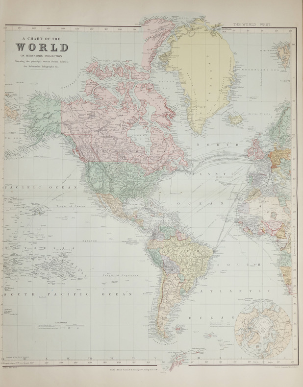
1896ref. LBW-2686London, Edward Stanford, [1896]. En deux feuilles non jointes pouvant former une carte de 0,66 x 1,07 m.
1775ref. LBW-643[1775-1781]. 662 x 481 mm.
1835ref. 203763Philadelphia.: W. Marshall. Circa1835. Handcoloured engraved map 26.5 x 41.3 cms; 29.6 x 48.3 cms sheet central fold insets of "Oceanica" and "New Holland" central table some light staining in the image and margins in good condition. Eurocentrism laid bare. This 19th Century map includes a "State of Society" for each part of the world declared with a symbol to represent "Barbarous Half Civilized Civilized and Enlightened Societies" as well as noting religion and ethnicity. It includes a table of distances between chief towns or capitals and between these towns and Washington DC. Australia "New Holland" is styled principally as pagan barbarous unexplored and African a thin sliver of what is now New South Wales and Victoria is labelled civilized European and Protestant. Scarce. . (W. Marshall). unknown
1929498 pages. Numerous sketch maps, diagrams and illustrations. Includes supplementary chapter on British Columbia. Authorized for use in the schools of British Columbia, Manitoba, Nova Scotia, Quebec and Saskatchewan. Boards covered by dark green leatherette. Hinges going. Above-average but not excessive wear. Book
1986ref. 2083002116201994Tokyo Maps Tony Buzan Translated by Tetsu Sato 1986. Soft Cover. Fine. The book is in fine condition. Tokyo Maps Tony Buzan Translated by Tetsu Sato paperback
1979183 pages. From a tug in Halifax Harbour to a destroyer in Norwegian fiords, from the balmy Caribbean to the frozen reaches of Murmansk, Hal Lawrence spins an engaging personal account of a young man growing up at sea. Author commemorates with genuine affection the dedicated men with whom he served and the fighting navy which shaped them. Includes numerous interesting black and white photographic plates. Endpapers decorated with maps. Book clean and unmarked with light wear. Average wear to dust jacket. Very nice copy. Book
ref. 04230304.23A2Hardcover. Good. 1971 Printing containing Eby Snyder and Weber. Map in back pocket. Bound in brown leatherette with embossed image on front board. Corners of boards and spine rubbed. Binding intact. Name on front end page; text is no longer bright but appears clean and unmarked otherwise. hardcover
1984ref. 057032Eldon D. Weber 1984. Book. Near Fine. Hardcover. First Thus. 4to - over 9¾" - 12" tall. Brown leatherette lettered in gold foil. 3rd ptg. 1984 of facsimile reprint edition. Slightly soiled covers nearly as issued. Main text dates to 1895-96 Eby with 1931 supplement by Snyder every-name index and geographical index by Weber. Map in rear pocket as called for. Eldon D. Weber Hardcover
1914ref. 121191Milan Direction du mouvement futuriste 1914 1 vol. broché Tract futuriste daté du 11 janvier 1914 et rédigé en français par Marinetti pour "foncer tout droit dans l'imbécillité de la mode et détourner le courant moutonnier du snobisme". Etat moyen avec déchirure au pli central sur 14 cm et petits manques marginaux.
ref. 0008496331.Gpaperback. Good. Access codes and supplements are not guaranteed with used items. May be an ex-library book. paperback
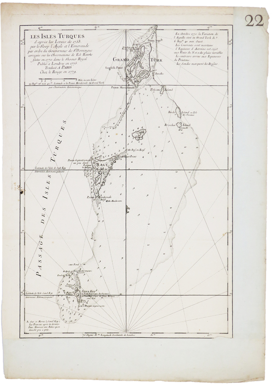
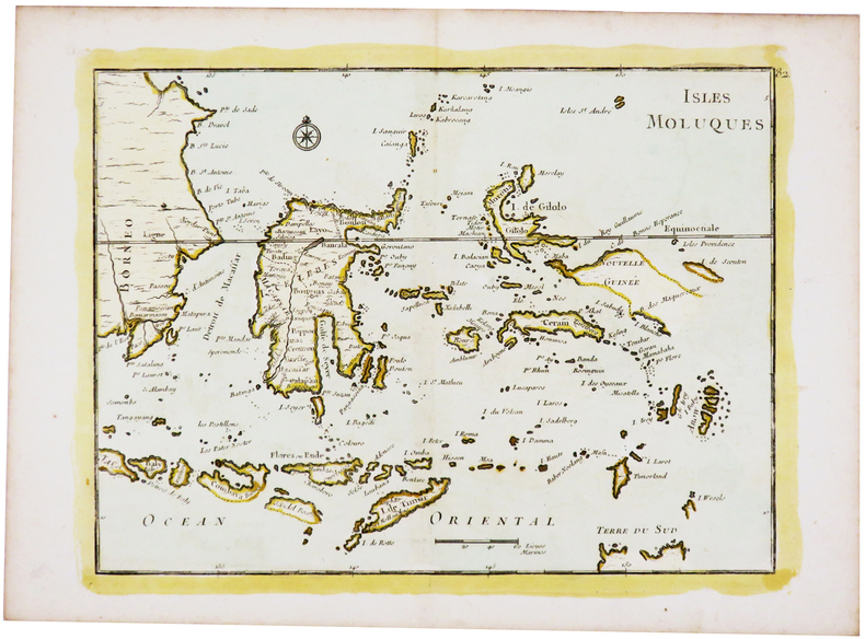
1779ref. LBW-5241Paris, Le Rouge, 1779. 450 x 304 mm.
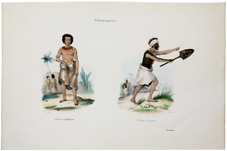
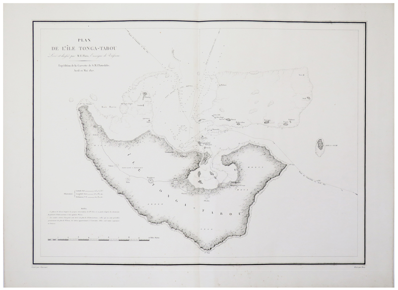
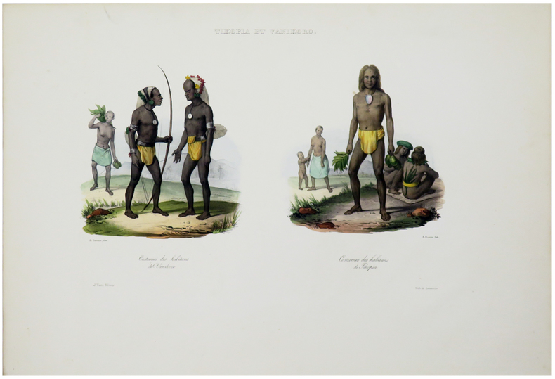
1833ref. LBW-5463[Paris, 1833]. 250 x 350 mm.
1833ref. LBW-5456[Paris, 1833]. 427 x 580 mm.
1833ref. LBW-5464[Paris, 1833]. 220 x 335 mm.
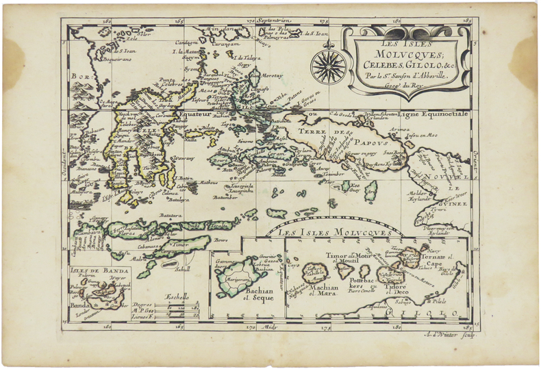
1680ref. LBW-5478[Paris, circa 1680]. 187 x 245 mm.
1746ref. LBW-5440[1746]. 218 x 286 mm.
1853ref. LBW-8317Paris et New-York, V.e Turgis, [1853]. 286 x 398 mm.
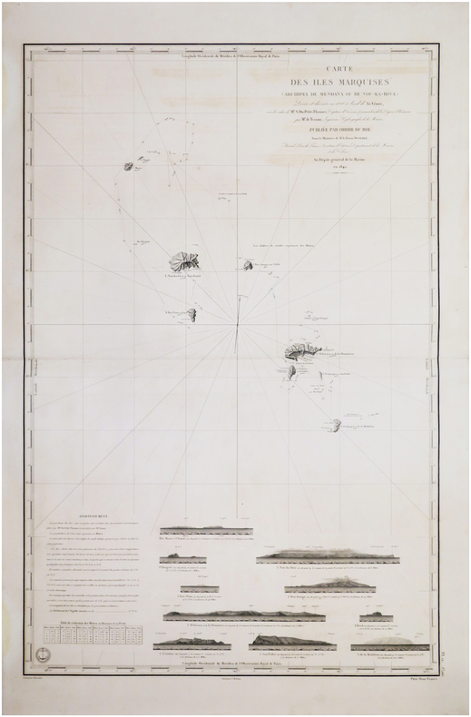
1845ref. LBW-7576[Paris], Dépôt-Général de la Marine, 1842 [1845. 882 x 590 mm.
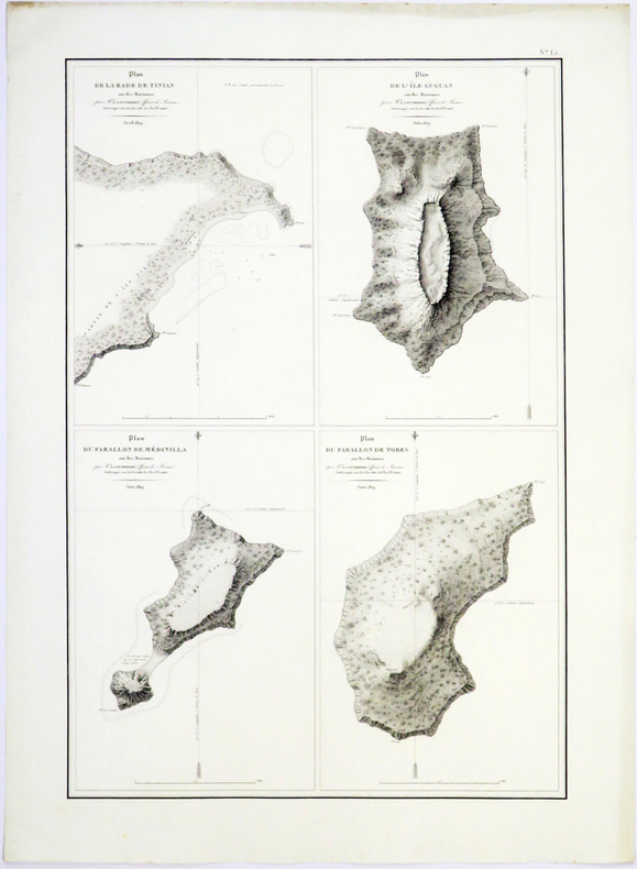
1826ref. LBW-4989[Paris, 1826]. 494 x 331 mm.