12.070 resultados
2002ref. 32219Libreville Editions du Luto 2002 petite atteinte aux coins inférieurs sans gravité , cartonnage éditeur
1942ref. 1372836Princeton: Princeton University Press 1942. Second Printing. Hardcover. Octavo x 291 pages. In Very Good minus condition. Spine is gray with a black box and gilt lettering. Boards have minor shelf wear and a library identification sticker on the spine. Text block has pen writing on the front end page and minor foxing on some pages. Ex-Library. 1372836. Special Collections - Downstairs. Princeton University Press hardcover books
1942ref. 1372836Princeton: Princeton University Press 1942. Second Printing. Hardcover. Octavo x 291 pages. In Very Good minus condition. Spine is gray with a black box and gilt lettering. Boards have minor shelf wear and a library identification sticker on the spine. Text block has pen writing on the front end page and minor foxing on some pages. Ex-Library. 1372836. Special Collections - Downstairs. Princeton University Press hardcover
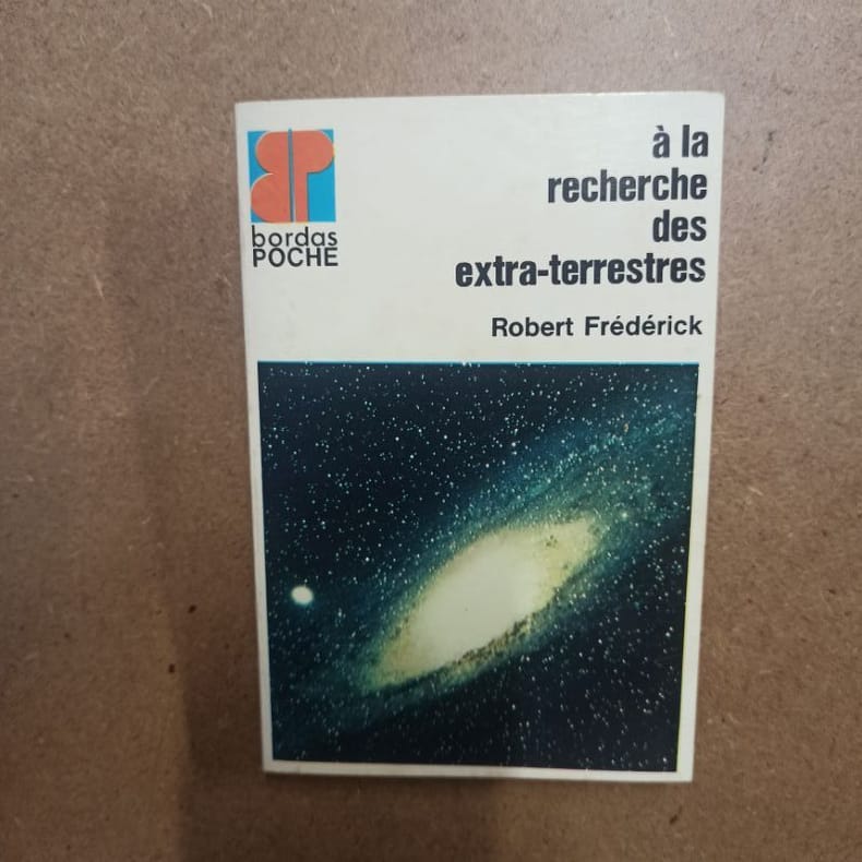
1973ref. 5611973 - broché - Editions Bordas - Collection Bordas Poche, N° 3 - 1973 - In-12 (16,5 x 11 cm) broché - 126 pages - Illustrations et photographies principalement en noir et blanc
1976ref. 1239491976 Editions Corvina, série "HEREDITAS" - 1976 - In-8, couverture illustrée à rabats - 121 pages + planches en N&B - Nombreuses illustrations en N&B, in et hors-texte, dans l'ouvrage
2016New New English Original bdg. Dust wrapper. In publisher's special box. 4to. (1934, [4] p.), color and b/w ills. A journey through maps from the Ottoman world to the Republic of Turkey. From Constantinople to Istanbul between the 15th and the 20th centuries. The cartographic collection of Erhan Öner. 4 volumes set. A project of passion and patience: For four decades Erhan Öner has been painstakingly collecting maps of Turkey, assembling a cartographic collection that is now one of the largest and most comprehensive of the area. His maps range in date from the 15th century, the early days of the Ottoman Empire, through to the 20th century and the early days of the Republic, and encompass historical, military, marine and archaeological maps, and even postcards with maps on them. Examples by the renowned cartographers Abraham Ortelius, Gerardus Mercator, Jodocus Hondius, Homann Heirs, Freres Lotter, Visscher Family, Sanson Family, John Speed and Frederick de Wit are among the highlights. A project of passion and patience, Öner's collection is finally being published in a four-volume catalogue. Displaying as many as 1,500 maps on 2,000 pages, it will be an important reference work for academics, researchers and fellow collectors. At the same time it is a visual feast, with beautiful illustrations, engravings and vignettes. Contents: Vol. 1: HISTORICAL MAPS OF TURKEY. 15th - 16th Centuries, 17th Century, 18th Century, 19th Century, 20th Century. TURKEY IN EUROPE. Vol. 2: REGIONAL MAPS. Black Sea, Thrace, Sea of Marmara Dardanelles, Aegean Archipelago. Mediterranean Sea, Central, Eastern and South East of Turkey,Middle East, Serial. OTTOMAN VILAYETS AND SANCAKS Postcard Maps, Yumni Maps. Other Vilayet Maps PORT PLANS. RAILWAYS. RELIGION RELATED MAPS, THE RETREAT OF THE TEN THOUSAND MAPS. GEOLOGICAL MAPS. POSTCARD MAPS. CLIPPINGS. Vol. 3: MILITARY MAPS. War and Peace Maps and Plans Maps of Erkan-¿ Harbiye. Harita Umum Müdürlügü, Milli Müdâfaa Vekâleti. Harita Genel Müdürlügü, Harita Genel Direktörlügü Maps of War Office & Ordnance Survey Office, Henri & Richard Kiepert Maps. ATLASES. Vol. 4: ISTANBUL NECIP BEY MAPS OF ISTANBUL: Societe Anonyme, Ottomane d'etudes et d'entreprises Urbanies. KESFlYÂT VE ¿NSAAT TÜRK ANON¿M S¿RKETl, TURKISH SURVEY AND CONSTRUCTION COMPANY UNFINISHED MAP OF ¿STANBUL, INSURANCE PLANS OF ISTANBUL. ARCHEOLOGICAL MAPS. OTHER CITIES. INFORMATION ABOUT CARTOGRAPHERS. ENGRAVERS AND BOOK PUBLISHERS.

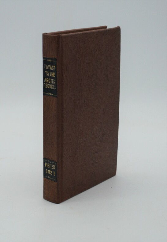
1821ref. PHO-1025London: Longman, Hurst. 1821. in-8 ,XI + 320 pp. ,illustré avec 2 cartes (1 facsimilé)et 5 gravures in texte , relié pleine percale , dos lisse avec pièce de titre et auteur et date ,rousseurs sur le titre
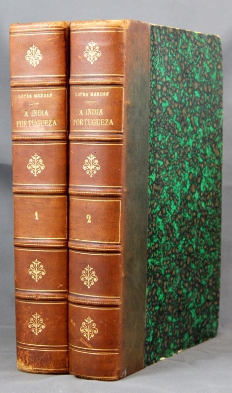
1886ref. 2149Lisboa, Imprensa Nacional, 1886. 2 vol. in-8 de XXVII-281 + XII-313-[2] pages, demi-basane marron, dos à nerfs orné de filet et fleurons dorés. Dos passés, quelques griffures aux dos, coiffes épiderméess rousseurs.
1985324 pages. Index. Bibliography. Black and white illustrations. Author's signature upon front free endpaper. "Traces the development of the town of Pointe Claire from its beginnings as a stretch of lonely farms to its present as a major municipality. Covers three hundred years of Canadian history as it affected the people of the West Island community. Old maps, photos and the words of contemporary observers take the reader into a past where the pioneer farmers struggled to defeat Indians, the land, the climate and foreign invaders... This is the only complete history of the town." - from dust jacket. Gift greetings atop title page else book clean, bright and unmarked with negligible wear. Very light wear to dust jacket which has touches of yellowing to flaps, and is now preserved in a glossy new Brodart cover. A premium copy. Book
19588vo., First Edition, with 30 plates on 16 and 15 maps in the text; green cloth, gilt back, a very good, bright, clean copy in unclipped dustwrapper, the latter lightly frayed at extremities. Bennett p.184.
1999Book is in excellent condition. Binding is solid and square, covers have sharp corners, exterior shows no blemishes, text/interior is clean and free of marking of any kind. 346 pages with b&w illustrations on nearly every page: elevations, floorplans, b&w photos, exteriors, interiors, design drawings, landscapes, maps, facades, etc.
ref. Cri10Andre Deutsch 1990. Hbk 571pp illustr bw photos maps an unread copy excellent clean tight unmarked in fine unclipped and sleeve-protected dj as new Andre Deutsch, 1990 unknown
1949ref. 1807230045Kegan Paul Trench Trubner 1949-01-01. Hardcover. Good. 3 volume set. Bound in publisher's green cloth with gilt lettering. Very good bindings and covers. Spines slightly sunned. viii 667 viii 743 xvi 823 pp index many color folding maps. Light foxing. Contents: Vol. 1. From the origins to the arrival of the Portuguese in 1542 A.D.; Vol. 2. During the century of early foreign intercourse 1542-1651; Vol. 3. Tokugawa epoch 1652-1868. Vol. 1-2 3rd impression. Vol. 3 1st impression. Vol. 3 revised and edited by Joseph H. Longford. At Longford's death the work was transferred to L.M.C. Hall. Maps by Isoh Yamagata. First published in 1903 Murdoch's work quickly became an important reference in Japanese history. This is an oversized or heavy book which requires additional postage for international delivery outside the US. Kegan Paul, Trench, Trubner hardcover
1926ref. 1808090055Kegan Paul Trench Trubner 1926. Hardcover. Very Good. 3 volume set. Bound in publisher's green cloth with gilt lettering. Very good bindings and covers. viii 667 viii 743 xvi 823 pp index many color folding maps. Light foxing. Contents: Vol. 1. From the origins to the arrival of the Portuguese in 1542 A.D.; Vol. 2. During the century of early foreign intercourse 1542-1651; Vol. 3. Tokugawa epoch 1652-1868. Vol. 3 revised and edited by Joseph H. Longford. At Longford's death the work was transferred to L.M.C. Hall. Maps by Isoh Yamagata. First published in 1903 Murdoch's work quickly became an important reference in Japanese history. This is an oversized or heavy book which requires additional postage for international delivery outside the US. Kegan Paul, Trench, Trubner hardcover
1953Folded map. No marks or inscriptions. No creasing to covers. A very clean very tight copy, bright unmarked, not torn and no bumping to corners. 1pp. Some 450 historic buildings, including 228 churches, are illustrated on the map from sketches and with Heraldic Emblems. On the reverse side is a comprehensive guide arranged alphabetically to the places of interest in towns and villages from Abney to Youlgreave. The map covers parts of Yorkshire West Riding, Cheshire, Staffordshire, Derbyshire and Nottinghamshire. Both map sides are held open to photograph with laid-on metal supports.
ref. 1334401764.Gpaperback. Good. Access codes and supplements are not guaranteed with used items. May be an ex-library book. paperback
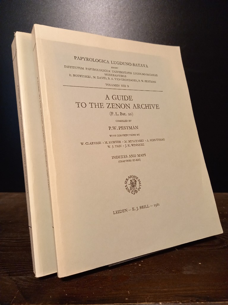
1981ref. 2140746Leiden: E. J. Brill 1981. XX, 466; 467-748 Seiten. With two maps. 4° (28 x 22 cm) Orig.-Broschuren. [Softcover / Paperback].
1968cm. 12,5 x 17,5, viii-142 pp. con 36 ill. e 1 carta geografica. Pocket Library of Studies in Art Inglese 189 gr. viii-142 p.
1993Trace of foxing to front edge. No inscriptions or marks. A very clean very tight copy with unmarked black cloth boards and no bumping to corners. Dust jacket not price clipped or torn with slight creasing to upper edge and traces of shelf wear. 244pp. Written very soon after German re-unification, this authoritative guide comprehensively describes the superb cities and towns, the exquisite countryside and the charming villages which had suddenly been re-opened to the rest of the world after being shut away for so long.
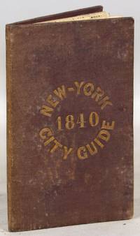
1840ref. 000014171New York: Tanner & Disturnell 1840. Later edition. Hardcover. Very Good. 64mo. 13 cm x 8 cm. 3 4-15 1 pp. Brown cloth with gold lettering on the front board. Yellow coated rear endpaper and rear pastedown. Illustrated with a frontispiece and with a folding map in the rear of the volume. The folding map in the rear of the volume is hand-colored. Its title is "New Map of the City of New-York with part of Brooklyn & Williamsburg". By J. Calvin Smith. Engraved on steel by Stiles Sherman & Smith. The folding map is dated 1840. Phillips 532. Guide books similar to this one were published as early as 1836. OCLC locates a few examples of this exact edition. With a list of wards streets and information on how to get around the city. A fascinating look at early nineteenth-century New York City. Light soiling to the cloth. Lacks the yellow free front endpaper and front pastedown. The folding map with one piece neatly detached but laid in the whole map is present. Tanner & Disturnell hardcover
1935ref. 036820Los Angeles California: Title Guarantee And Trust / Title Insurance And Trust 1935 1936 1937 1938 1942 1946 1949 1951 1956 1957 1959 1961 1935. First Edition 1st Printing. Soft cover. Very Good/No Dust Jacket. 9 1/4" High. A Group Of 30 Different Booklets Including 19 Different First Printings 1935-1961 One With Second Issue Tipped In Slip 8Th Printing Of Old Spanish And Mexican Ranchos Of Orange County Six Are First Printings Of Later Revisions There Were Many Minor Revisions Usually Each Time They Were Re-Issued. Several Have Notations On Covers That They Were Gifts To Dr. George Hill Hastings From Arthur Mordan President Of Title Guaranty Who Employed Robinson. The Beverly Hills Book Has A Presentation Inscription From Mordan To Hastings The Island Of Santa Catalina Has A Long Notation By Hastings That It Was A Gift From Robinson Upon The Death Of Mordan A Dear Friend; Signed H. H. All Very Good To Near Fine Except Culver City Which Has Wear And Some Damp Spotting Centered On Spine And Extending Inwards Up To 1/4"; And The Forest And The People Is Only Good Worn And Some Small Light Water Spots. Title Guarantee And Trust / Title Insurance And Trust 1935 1936 1937 1938 1942 1946 1949 1951 1956 1957 1959 1961 paperback
1828348 p. Folding colored map of Massachusetts. The map could use some minor repairs at folds, etc. 12mo. Contemporary full leather binding. American Imprints 35374; Howes S-839; Sabin 89563. Atlas Case. QUITE SCARCE. **PRICE JUST REDUCED!
4 albumen prints, 190 x 725 mm and 205 x 270 mm, all mounted on contemporary paper (285 x 40 mm) with manuscript titles in French. "Hong-Kong / Panorama général": a fine, large-scale panorama embracing all of Victoria, the capital of Hong Kong, from the perspective of the harbour. The scene is centred upon the concentration of major buildings along the grand quayside of the Praya, including the City Hall, the Hongkong & Shanghai Bank Building and the Hong Kong Hotel, the six-story building featured in the centre-right of the panorama. Notably, the hotel seems to still be in a partially-completed state, as construction of the edifice was not completed until 1892, a detail which helps to date the photograph. Numerous boats can be seen plying the harbour in the foreground, evidence that Hong Kong was one of Asia's busiest ports. Victoria Peak rises above the city, and the thin white line shown ascending the mountain, above City Hall, is the famous Peak Tram. This funicular railway was completed in 1888. - "Hong-Kong / La Rade prise de Bowen Road": an engaging view looking down upon Hong Kong harbour from the perspective of Bowen Road. The line of the celebrated Peak Tram, completed in 1888, is shown running up the slope of Victoria Peak, while numerous ships ply the harbour in the background. Bowen Road was named after George Ferguson Bowen, who served as the 9th Governor of Hong Kong from 1883 to 1885. - "Hong - Kong / Anniversaire de la naissance de la Reine": this fascinating view captures the pageantry of the celebration of the birthday of Queen Victoria. Spectators are shown observing vast lines of troops as they fire an armed salute in honour of Her Majesty, while tall ships decorated with banners are moored in the harbor, in the foreground. Queen Victoria (reigned 1837-1901) personified the British Empire, and her birthday (May 24th) was celebrated annually throughout Britain's colonial possessions. Another example of the same photograph, entitled in manuscript, "Queen's Birthday Parade Hong Kong," can be found in the collections of the Herbert F. Johnson Museum of Art at Cornell University, Ithaca, NY (accession no. 86.140.310). - "Hong-Kong / Une Rue dans la ville Chinoise": this photograph captures an interesting street scene in Hong Kong's traditional "Chinatown", otherwise known as the Wan Chai District, located to the east of Victoria. While Victoria had a more "anglicized" appearance, befitting the centre of British colonial administration, Chinese modes of building construction, signage and ways of life prevailed in Wan Chai.
1967ref. 2090502113703439Not Available 1967. Soft Cover. Fine. The book is in fine condition. Not Available paperback
1949184 pages, illustrated, page edges browned, covers detached, spine faded, (Penguin Reference Books ; R2). eng