Philip's MapsBiblio.com

12,632 results
ref. 0540081558.Gpaperback. Good. Access codes and supplements are not guaranteed with used items. May be an ex-library book. paperback
1990ref. 045014Essex Ca: Tales Of The Mojave Road Publishing Company 1990. 1st Edition 1st Printing. Hardcover. Near Fine. 303 Pp. First Printing. Gold Cloth Stamped In Brown. First Printing. Very Near Fine. Tales Of The Mojave Road Publishing Company hardcover
ref. SONG0500022291Used: Good unknown
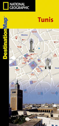
2012ref. SBBI-mon0000051632National Geographic Maps 2012. map. Good. Our good condition books are generally good for reading but not for gifting or collecting. They could have imperfections such as creasing fanning inscriptions margin notes yellowing staining on edge or cover or pages bumps scuffs etc etc sometimes multiple of these. It's a wide category that encompasses anything that isn't almost-new down to anything that is slightly better than poor. We would NOT recommend gifting Good books - these should be considered reading copies. Our books are dispatched from a Yorkshire former cotton mill. We list via barcode/ISBN so please note that the images are stock images and may not be the exact copy you receive furthermore the details about edition and year might not be accurate as many publishers reuse the same ISBN for multiple editions and as we simply scan a barcode or enter an ISBN we do not check the validity of the edition data when listing. If you're looking for an exact edition please don't order at least not without checking with us first although we don't always have time to check. We aim to dispatch prompty the service used will depend on order value and book size. We can ship to most countries see our shipping policies. Payment is via Abe only. National Geographic Maps unknown
1994ref. Q-1878067575Seal Press 1994-08-01. Paperback. New. In shrink wrap. Looks like an interesting title! Seal Press paperback
ref. T87-ODE-3EPHardcover. Very good. Imperial War Museum in association with The Battery Press 1992 V1. 380 pages V2. 517 pages red cloth hard covers with gold spine stamping no owner's mark or underlining tight and square very light wear. hardcover
ref. 368117George Allen & Unwin 1980. FIRST EDITION folding maps detached but tidy and loosely enclosed no price to d/w blue colour faded from jacket super octavo red cloth boards gilt lettering to spine top page edges stained red unpaginated prelims 472pp VG light tanning & foxing to page edges & eps prev. owner's sm label to ffep in d/w VG in fully adhesive plastic wrap- wrinkled minor creasing to edges prev. bookseller's sm label to base of front flap George Allen & Unwin 1980 hardcover
ref. 1887749608.Gspiral_bound. Good. Access codes and supplements are not guaranteed with used items. May be an ex-library book. unknown
39 x 52,5 cm. Mit breiten Rändern (Blatt: 55 x 64 cm). *Mit zwei ausgemalten figürlichen Kartuschen. Zeigt das Gebiet um Magdeburg, Wittenberg, Mansfeld, Halberstadt. - Sauber und sehr gut erhalten in schönem Altkolorit. Landkarten de
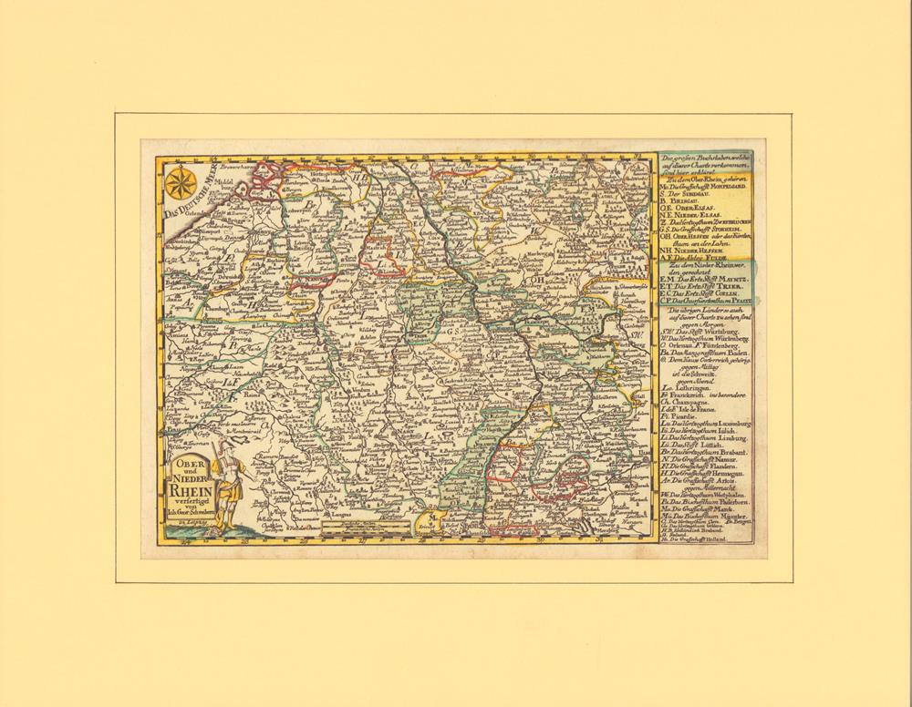
1749ref. 78867Leipzig, J. G. Schreiber, 1749. Grenzkolorierter Kupferstich mit partiellem Flächenkolorit. Mit alter hs. Nummerierung im ob. weißen Rand. Plattenmaß 18 x 27,5 cm. (= Aus: Atlas Selectus von allen Königreichen und Ländern der Welt...). Hinter Passepartout (mit Laugenstreifen montiert).
41,5 x 53 cm. (Blatt: 49 x 60 cm). *Aus der lateinischen Ausgabe des Altlas von W. Blaeu "Theatrum Orbis Terrarum". Die nicht genordete, sondern nach Westen ausgerichtete Karte, zeigt das Gebiet von Oberschwaben mit dem Bodensee mit den Allgäuer und Vorarlberger Alpen linksseitig und der Donau im rechten Drittel des Blattes. - Sauber und sehr gut erhalten. Landkarten de
41,5 x 53 cm. (Blatt: 49 x 60 cm). *Die nach Westen ausgerichtete Karte zeigt das Gebiet von Neuddeutschland, links mit Bereichen der Nordsee und rechts die Ostsee bis nach Stralsund. Schönes Altkolorit. - Sauber und sehr gut erhalten. Landkarten de
ref. 48577, Uitgever: Plaizier, 2016 ?10,5 cm x 15 cm ?.
ref. 2066Editions Subervie 1965. In-8 broché de 160 pages au format 14,2 x 19,2 cm. Biographie suivie de notes et d'un essai de bibliographie des oeuvres publiées en langue Française. Photos et documents hors texte. Edition originale non coupée en état proche du neuf. Précieux exemplaire ayant appartenu à l'auteur. Il est joint une lettre manuscrite de 2 pages, sous enveloppe d'un de ses amis : Jean-Claude Laurens. Ce dernier était chargé de récuperer chez l'éditeur Jean Subervie des exemplaires du livre, afin de les expédier à Luc Decaunes, qui n'en possédait aucun exemplaire ainsi q'une carte postale des éditions " Les Cahiers du Sud " datée du 12 mai 1945, affranchie et cachetée. Au verso on trouve un très long texte affectueux de 30 lignes signé par Léon-Gabriel Gros, adressé à Luc Decaunes.
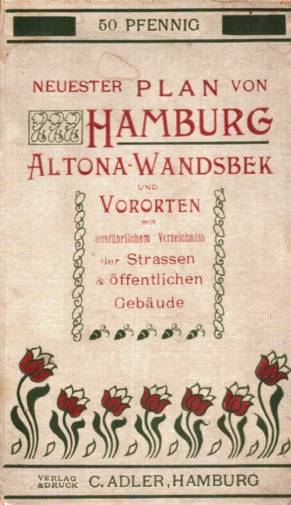
1915ref. 39340Hamburg, C. Adler, [ca. 1915]. 24 S. Straßenverzeichnis (mit Sondermarkierungen für A: Altona, W: Wandsbek, O: Ohlsdorf-Fuhlsbüttel und P: Preussisches Gebiet). Mit 1 mehrf. gefalt. farb. lithogr. Plan im Maßstab 1:18.000. Blattgröße 49,5 x 65 cm. Deckel cm. OLn.
1840ref. 142961840 cartonnage modeste. in-16, titre, p.15 à 100, 9 planches comprenant 49 figures plus une sur le titre comprises dans la pagination, gravées sur bois. P. Delarue Lille Castiaux (ca. 1840)
1840ref. 163261840 12 sections montées sur toile et pliées, formant une carte de 520 x 590 mm., Vienna Artaria ca. 1840
ref. 452844 reproductions montées sur carton fort, cachet de Maître Troquart, Notaire à Blaye
1857Pianta della città di Roma con la carta topografica di Roma e dei suoi contorni. Leggenda molto dettagliata ed estesa che elenca circa 200 edifici, monumenti e luoghi di interesse a Roma. Litografia, dimensioni complessive 54,5 x 65 cm, dimensioni dell'immagine 52 x 63 cm, pieghe multiple orizzontali e verticali come piegate in un libro, nel complesso in ottime condizioni. Opera tratta da Handbuch für Reisende in Italien von Dr. Ernst Förster, stampata a München dal Literarisch-Artistische Anstalt nel 1857. Large city plan of Rome titled: Roma. Rioni, Regionen oder Abtheilungen Rom's, with inset map Carta topografica di Roma e dei suoi contorni. Very detailed, extensive legend listing approx. 200 buildings, monuments and places of interest in Rome. Overall size 54.5 x 65 cm, image size 52 x 63 cm, multiple horizontal and vertical folds as folded in a book, overall in very good condition. From: Handbuch für Reisende in Italien von Dr. Ernst Förster, München, Literarisch-Artistische Anstalt, 1857.
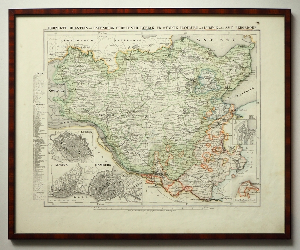
1865ref. 97900Hildburghausen, Bibliographisches Institut, [ca. 1865]. Bildgröße: 31 x 38 cm. Im Mahagonirahmen, unter Mattglas (38,5 x 47 cm).
58 x 48 cm. *Mit kräftigem altem Grenz- und Flächenkolorit. - Sauber und gut erhalten. Landkarten de
1838ref. 163311838 18 sections montées sur toile et pliées, formant une carte de 655 x 890 mm. P. Dépôt général de la Marine 1838
ref. CZC-11676Gravée par P.F. Tardieu, authentique datée vers 1790, sur papier fort, recto uniquement, pliable, dimensions : 39 cm x 27 cm, parfait état. Classeur 3
ref. CZC-11676Gravée par P.F. Tardieu, authentique datée vers 1790, sur papier fort, recto uniquement, pliable, dimensions : 39 cm x 27 cm, parfait état. Classeur 3
ref. CZC-11677Gravée par P.F. Tardieu, authentique datée vers 1790, sur papier fort, recto uniquement, pliable, dimensions : 39 cm x 27 cm, parfait état. Dynastie de rois de France, la dynastie des Capétiens est issue du roi Hugues Ier Capet, auquel elle doit son nom. Celui-ci, en mettant en place l’hérédité dynastique, est devenu la souche commune des trois dynasties de souverains – Capétiens, Valois, Bourbons – qui se sont succédé sur le trône de France jusqu'en 1848 (c'est-à-dire pendant près d'un millénaire), et dont les branches collatérales ont régné sur les royaumes de Naples, de Hongrie et d'Espagne. Classeur 3