12,595 results
1840ref. 34582(Paris, Bertrand, ca. 1840). 27x33 cm. originalt litografi trykt på kinapapir med brede marginer (Dessinée par A. Mayer). Øverste margin med skjold som ikke berører billedfladen. Parti fra søen med gæs i vandet, i luften og på land.
1840ref. 34575(Paris, Bertrand, ca. 1840). 25x 35 cm (billedflade). Originalt litografi trykt på kinapapir med brede marginer (Dessiné par A. Mayer). Prospekt af Laugarnes med folk og heste i forgrunden samt Jónssons bolig.
1805ref. 52215(København, 1805). Originalt håndkoloreret kobberstik. (21 x 14,5 cm.). Indrammet i ""sølvramme"" (29 x 21 cm.). Frisk eksemplar.
1786ref. 32943(Paris, ca. 1786). 25,3x31 cm. Engraved map of Northern Russia, the european part. In original handcolouring. The map engraved by E. Dussy.
1975ref. 38906Kbhvn., Den danske Landinspektørforening, 1975. Orig. halvlæder. 333 s. Illustr. + Mappe i folioformat med 14 farvereproduktioner.
ref. 0008492581.Gmap. Good. Access codes and supplements are not guaranteed with used items. May be an ex-library book. unknown
1800ref. 25396(Paris ?), ca. 1800. 61,5x54 cm. Engraved postal-map, 2 cartouches and with German text. Place-names in French. Lightly browned. Traces of folding.
1841ref. 55741(Gotha, Justus Perthes), 1841. Engraved map (35,5 x 43,5 cm.). Handcoloured in outline. Fine and clean.
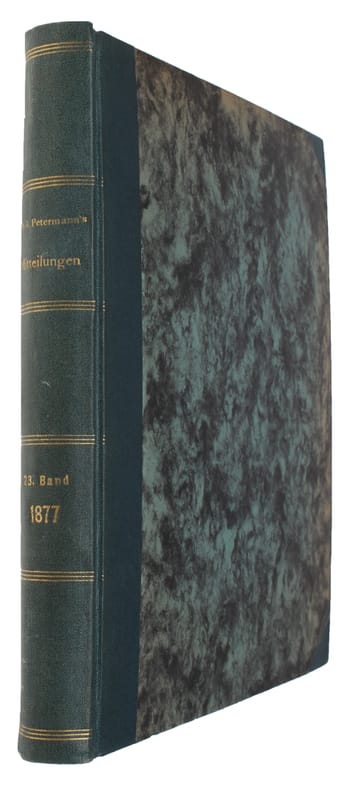
1877ref. 46640Gotha, Julius Perthes, 1877. 4to. Later hcloth. Spine gilt. XII,476 pp. and 23, partly folded, lithographed maps and plans. Internally clean.
1805ref. 52216(København, 1805). Originalt håndkoloreret kobberstik. (21 x 14,5 cm.). Indrammet i ""sølvramme"" (29 x 21 cm.). Frisk eksemplar.
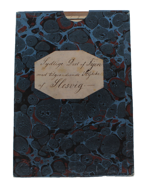
1848ref. 57654(København), KDSK (Kgl. Danske Søkort Archiv), 1848. Kobberstukket søkort (106 x 63 cm.). I original opsætning på lærred og monteret i 27 sektioner (9 x 3). Foldet og opbevaret i det originale marmorerede foderal. Ren og velbevaret.
1783ref. 51528(København), 1783. Kobberstukket kort over Øerne etc. 53x88 cm. Med stor kobberstukket kartouche. Tegnet for Videnskabernes Selskab af H. Skanke 1783. Kortet er her originalt opdelt i 21 felter, opklæbet på lærred og foldet som rejsekort. Indlagt i marmoreret foderal.
ref. ING9781566958325Natl Geographic Society Maps. New. Special order direct from the distributor Natl Geographic Society Maps unknown
ref. ING9781566958165National Geographic Maps. New. Special order direct from the distributor National Geographic Maps unknown
1784ref. 25892London: Harrison & Co 1784. 1 vols. 10 x 7 3/4 inches. Extracted from a volume. Some light marginal discoloration folds else in very good condition. 1 vols. 10 x 7 3/4 inches. The first "A General Stereographic Map on the Plane of the Meridian" and the other showing a "Stereographic Projection on the Plane of the Horizon" and "Orthographic Projection on the pLane of the Meridian" Maps of the Hemispheres. Harrison & Co unknown
1960ref. 78704Atladena California: Altadena Federal Savings and Loan Association 1960. Printed on both sides on an 18 1/2" x 23 1/2" sheet of white paper that folds to 4" x 9 1/4" 24 panels. There is printing in red and a color rendering of the Altadena Federal Savings building on one side. Handwritten name on the front panel; else near fine. Scarce OCLC locates no holdings. Fully indexed street map of the unincorporated Los Angeles County California community that was devastated by the Eaton Fire in January 2025. Situated next to and within the foothills of the San Gabriel Mountains Altadena has long resisted annexation to Pasadena though that city has taken 46 "bites" of it over the years seeking tax revenues. That independent spirit is reflected in the mosaic of ethnic diversity that made Altadena one of the most integrated communities in Southern California. Altadena Federal Savings and Loan Association unknown
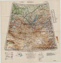
1942ref. 5330Washington D.C.: U.S. Army Army Map Service 1942. Loose sheet. Near Fine. Sheet 22 1/M North K-O 46-50. Full color map measures 28 x 29 inches. With a list of authorities i.e. other maps consulted in the creation of this map. Glossary. Index to boundaries. Folds as issued. An especially bright copy. First published 1931 by the War Office this edition is labeled "For Use by War and Navy Department Agencies Only. Not for Sale or Distribution." Revised to aid the US WWII effort in the Far East special emphasis is applied to railways international boundaries and "nomadic encampments." From the collection of Asian books and maps formed by Albert Ravenholt. U.S. Army, Army Map Service unknown
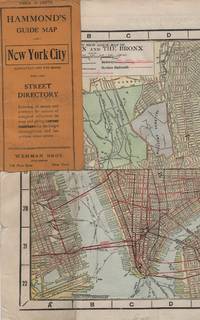
1913ref. 41637New York: Wehman Brothers Publishers 1913. Very good. An impressive color map of the island of Manhattan and the Bronx. Scale is 1" equals 1/2 mile and includes railroads subways elevated railroads surface railroads and proposed railroads. An uncommon early 20th Century New York City street map. Folding color map. Measuring approximately 18" x 36" when unfolded. In original printed card wrapper. Verso a thorough printed street index. Mild handling wear toning. A few tiny holes near fold corners. Overall well preserved; very good. Wehman Brothers Publishers unknown
1913ref. 41637New York: Wehman Brothers Publishers 1913. Very good. An impressive color map of the island of Manhattan and the Bronx. Scale is 1" equals 1/2 mile and includes railroads subways elevated railroads surface railroads and proposed railroads. An uncommon early 20th Century New York City street map. Folding color map. Measuring approximately 18" x 36" when unfolded. In original printed card wrapper. Verso a thorough printed street index. Mild handling wear toning. A few tiny holes near fold corners. Overall well preserved; very good. Wehman Brothers Publishers unknown books
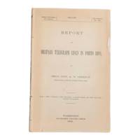
1900ref. 6902Washington D.C.: Government Printing Office 1900. First edition. 8vo 100pp. Color folding map 42x108cm attached at rear. Stitched lacking wrappers or disbound from a larger publication paper toned with light chipping. Map clean. A good copy. Senate Document No. 429 56th congress. This report was given by Adolphus Washington Greely 1844-1935 then Brigadier General and Chief Signal Officer of the U.S. Army. Greely was in charge of maintaining communications networks during the Spanish-American War and oversaw construction and maintenance of telegraph lines in Puerto Rico Cuba and the Philippines. The map in this report is "Map of the Island of Porto Rico Showing the lines of signal communication telegraph telephone and heliograph operated by the Signal Corps U.S. Army with Military Posts." It was prepared by major William A. Glassford under the direction of Greely. OCLC cites 11 holdings. . Government Printing Office unknown
1944ref. 63900Washington D.C. & New York NY: Navy distribution by Educational Services Section; Prepared and distributed by Army Information Branch Army Service Forces 1944. Oblong double atlas folio. 47 x 34.5 in. One large double-sided colour lithograph map and panoramic cutaway view minor dustsoiling light age toning very minor creasing at folds still a NF copy. First edition of this splendid educational panorama with cutaway view of a World War II Balao-class submarine conning tower lines have been altered to prevent enemy identification when surfacing which improved upon the Gato class with higher yield-strength steel pressure hull skins and increased depth to 400 feet. The four inset maps on verso track the campaigns in the Philippine Islands with maps for Manila Bay and Cebu Leyte & Samar separately as well as maps tracking the Western Front progress in 1944 just 4 months after D-Day. Navy distribution by Educational Services Section; Prepared and distributed by Army Information Branch, Army Service Forces, unknown
1953ref. 309567NY: BALLANTINE BOOKS. Near Fine in Very Good dust jacket. 1953. First Edition. Hardcover. Near fine in a Vg. dj. Barely discernable 2"-inch tear at upper seam of rear panel of dj. A few short edge tears & small chips as well as traces of shelfsoiling to dj. Novel of the Virginia Calvary in the Shenandoah Valley during the Civil War. LR . BALLANTINE BOOKS. hardcover
1912ref. 30210HBDJ STATED 1ST PUBLISHED THIS EDITION 1912 SMALL PURPLE EMBOSSED CLOTH CVRLITE RUB WEAR VG/VG AS-IS BACK OF DJ MENTIONS OVER 960 VOLUMES ENDS WITH ZOLA 226 PGS INDEX LIST OF TITLES OUTER SPINE CVR HAS SMALL NICK DEALS WITH COUNTRIES OF ASIA WHOSE HISTORY & GEOGRAPHY ARE ALIKE RELECTED IN MAPS. & CHARTS THAT FOLLOW Philipine Islands JAVA EAST INDIES AUSTRALIA MADRAS CEYLON SIBERIA KOREA MANCHURIA JAPAN SINGAPORE FAR EAST ETC J. M.DENT EVERYMAN’S LIBRARY LONDON hardcover
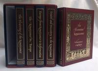
2001ref. 299994London: The Folio Society 2001-01-01. Hardcover. Near Fine/Very Good Slipcase. 9x7x7. Complete five-volume box set with slipcase. All 5 books are in near fine condition: texts unmarked and clean; pages and illustrations bright and crisp; bindings tight sturdy and square; exteriors look like new. Box is in very good condition has bump to back bottom corner light bump to front bottom corner and minimal rubbing. From a private collection. Ships from Dinkytown in Minneapolis Minnesota. Due to the size/weight of this book extra charges may apply for international shipping. The Folio Society hardcover
2019ref. 1-1566958164Natl Geographic Maps 2019. Paperback. New. map ill edition. 484 pages. 9.25x4.50x1.25 inches. Natl Geographic Maps paperback