12,267 results
1993This is a fine hardcover copy with a fine dust jacket with no wear at all. Completely clean inside and out. Text in Portuguese, English and Spanish. Massive reference book on the Itamaraty Map Collection: thousands of maps, prints, and architectural plans relating to the formation of Brasil in the 16th century to ca.1800. Illustrated throughout in color with many fold-outs, hundreds of plates. Bibliography. 12" high X 11" wide, 400 pages. Large heavy book, foreign shipping will be extra. This book will be securely wrapped and packed in a sturdy box and shipped with tracking.
1890Folding engraved map printed on fine ivory linen, size: 21 x 28 ins (approx. 53.0 x 71.0 cms) folding in 36 panels to 6 x 3 ins (approx. 15.o x 7.5 cms), printed surface very lightly browned (rather more heavily so along central fold), a few locations marked with red ink ; original green cloth slip-case framed in blind and lettered in black 'Flexible Map of London' with deckled thumb-hole, a very good, bright copy. Covers the area from Islington (north) to Oval (south); Notting Hill (west) to Stepney (east). IN THIS CONDITION A RARE SURVIVAL. Hyde, 'Printed Maps of Victorian London', no. 201.
19488vo., folding coloured map on paper measuring 40 x 30 inches (approx. 102 x 76 cms) folding in 30 panels to 8.5 x 5.25 inches (approx. 22 x 13 cms); original blue wrappers printed in black, yapped edges, a virtually unopened, unused copy. EXTREMELY SCARCE IN THIS CONDITION.
ref. DADAX1643523457New unknown
ref. 6311Lausanne, La Marge. Sérigraphie au format 25,5 x 18,5 cm. En deux états, soit un essai annoté des passages couleurs et la version définitive, au tirage limité à 200 exemplaires numérotés, la nôtre numéro 110.
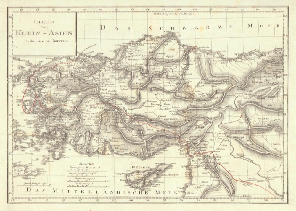
1814ref. 78823[Leipzig, J. H. Hinrichs, 1814]. 26 x 36 cm. Unter Passepartout.
1722ref. 26474Dressée sur les Mémoires les plus nouveaux par le Sr. Jaillot Géographe Ordinaire du Roy 1722, 1 carte au format 72 x 52 cm, frontières rehaussées en couleurs, Chez l'Auteur, le Sr. Jaillot, Géographe ordinaire du Roy joignant les Grands Augustins, aux 2 Globes, Paris, 1722
1721Le Gouvernement Général d'Orléans [ Carte ] qui comprend l'Orléanois, le Blaisois, la Touraine, l'Anjou, le Maine, le Perche, la Beauce, le Vendosmois, le Gastinois, le Nivernois, le Berry, l'Angoumois, l'Aunis & le Haut et le Bas Poitou, dedié à S.A.R. Monseigneur le Duc d'Orléans Regent du Royaume, carte au format 778 x 545 mm., frontière des provinces rehaussées en couleurs, Chez le Sieur Jaillot, joignant les Grands Augustins, Paris, 1721 Etat satisfaisant (anc. mouill. importante mais assez discrète). Rare. Prix en l'état. Français
1749ref. 136781Paris. circa1749. Black and white engraved map on laid paper showing entrance to Pearl/Canton river Macao and the area which would become Hong Kong Sinn-gan-hien folded designed by the prominent French cartographer Jacques-Nicolas Bellin. This map is No. 16 Vol. 5 from the impressive 15-volume "Histoire Generale des Voyages" compiled by French novelist Antoine François Prévost. The walled city of Canton upper section is divided into areas of Tartar and Chinese. Some light even browning on paper added at margins good copy. Map measures 25.7 x 20.5. . unknown
1798388 p. + Folding Map of North America. Offsetting from map on title page. Text browning but not brittle. Page 145 slightly torn without loss. Page 183 loss in margin and very slight loss of text. Mildly XLib. Bookplate of American Philosophical Society of Philadelphia, presented by John Vaugham. 175 mm. Disbound. Signatures loose. Should be rebound. First Edition in this form. Abridged by the Author. Title continues: "To Which Is Annexed An Accurate Table Of All The Post-Offices In The United States." Hardbound. The map alone usually brings this price. AI BX 4
1823Two Volumes. pp. 535; 602, (8) + Engraved title + 35 plates. With engraved illustrations in the text. Illustrated with numerous full page engravings and lithographs of views, buildings, maps, drawings, etc. One plate in hand color. Marbled endpapers. Text and plates have some foxing. Some offsetting from plates. Top edges gold. Deckle edges. 4to. 290 mm. Half leather over marbled boards. Raised bands. Spines decorated and lettered in gold. Inked ownership of Miss Ann Willcox on top of preface pages and elsewhere. Bookplate of Redmond Conyngham in both volumes. Redmond Conygham (1781-1846) was born in Philadelphia. He inherited from his paternal grandfather an estate in the county Donegal, Ireland, yielding L2,000 a year, and subsequently spent some time in Ireland. During his stay abroad he became intimate with Curran, Grattan, and other prominent Irishmen, including his cousin, William Conyngham Plunket, afterward lord-chancellor of Ireland. On his return to the U.S. he settled in Luzerne County, Pennsylvania, and was active in state and local politics. He then removed to Lancaster County, where he devoted much of his leisure to antiquarian research. Issued as a limited edition, less than 500 copies were printed. A very good copy of this handsome and informative book. Scarce. **PRICE JUST REDUCED! LivRm
2013ref. mon0000515415Philip's 05/08/2013 00:00:01. spiral_bound. Very Good. 1.7986 in x 26.5798 in x 19.7850 in. Philip's unknown
1920ref. 20799Chicago & New York: Rand McNally & Co 1920. 12mo. 32 pp text; large color folding map 20 1/2" x 27 1/2"; printed on both sides. The front side shows railroads electric lines counties cities towns villages post offices lakes rivers etc. The verso shows the Montana automobile road map. Montana is home to two of the country's most beautiful and iconic National Parks - Yellowstone and Glacier. Printed stiff brown wrappers in fine condition; 3 short closed tears along lower edge of map. Rand McNally & Co unknown
2013ref. SBBIH-CSRDX7VJO4PYPopOut Maps 2013. map. Good. Our good condition books are generally good for reading but not for gifting or collecting. They could have imperfections such as creasing fanning inscriptions margin notes yellowing staining on edge or cover or pages bumps scuffs etc etc sometimes multiple of these. It's a wide category that encompasses anything that isn't almost-new down to anything that is slightly better than poor. We would NOT recommend gifting Good books - these should be considered reading copies. Our books are dispatched from a Yorkshire former cotton mill. We list via barcode/ISBN so please note that the images are stock images and may not be the exact copy you receive furthermore the details about edition and year might not be accurate as many publishers reuse the same ISBN for multiple editions and as we simply scan a barcode or enter an ISBN we do not check the validity of the edition data when listing. If you're looking for an exact edition please don't order at least not without checking with us first although we don't always have time to check. We aim to dispatch prompty the service used will depend on order value and book size. We can ship to most countries see our shipping policies. Payment is via Abe only. PopOut Maps unknown
2013ref. SBBIH-HVYSHSVIWKIDPopOut Maps 2013. map. Very Good. Most of our very good books have only minor imperfections such as shelf wear consistent with a new book that's sat on a bookshop shelf for a year or two. Occasionally we may miss other minor imperfections as we have to grade books at speed. Our books are dispatched from a Yorkshire former cotton mill. We list via barcode/ISBN so please note that the images are stock images and may not be the exact copy you receive furthermore the details about edition and year might not be accurate as many publishers reuse the same ISBN for multiple editions and as we simply scan a barcode or enter an ISBN we do not check the validity of the edition data when listing. If you're looking for an exact edition please don't order at least not without checking with us first although we don't always have time to check. We aim to dispatch prompty the service used will depend on order value and book size. We can ship to most countries see our shipping policies. Payment is via Abe only. PopOut Maps unknown
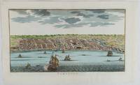
1750ref. 177186circa1750. Hand-coloured engraving 19.5 x 35.6 cm 25.5 x 41.6 cm sheet original folds two old paper repairs not affecting the image a trifle toned but in very good condition Attractive bird's-eye view town plan of Makassar in Sulawesi prepared for Abbé Prevost's monumental 'Histoire Générale des Voyages.' . unknown
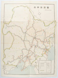
1519ref. 172590奉天. Mukuden.: 満鉄鉄道総局. Mantetsu Tetsudo Sokyoku. 昭和 15 1940. Colour folded map seven small very holes not affecting the printed image otherwise good. 53 x 38.5cm Map showing the comprehensive railway network in Manchuria with names of all the stations. It includes the lines run by the South Manchurian Railway Company their temporary industrial lines light rail as well as the lines run by other Russian and Chinese companies. By 1940 the network had expanded so much that it included almost the whole of Manchuria. . 満鉄鉄道総局. [Mantetsu Tetsudo Sokyoku]. unknown
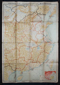
1938ref. 159295Tokyo: 大日本雄辯會講談社 Dainihon Yūbenkai Kōdansha. Shōwa 13. 1938. Two large detailed maps of China and on the reverse of the Soviet Union in Asia Manchuria and Mongolia printed double sided on a single large sheet. Issued as a supplement to Volume 14 Number 1 of the magazine Kingu on New Year's Day in 1938. Holes at a number of holes causing a small amount of loss some occasional browning some chipping on margins. The map has clearly been used but is still largely complete. The colourful map of China on a scale of 1:2600000 includes part of Manchukuo and Inner and Outer Mongolia on the north and part of French Indochina to the south-west. It shows East Hebei Autonomous Anti- Communist Council Jidong Fanggong Zizhi Zhengfu 冀東防共自治政府 south of Manchukuo which existed from late 1935 until February the 1st1938. The legend includes national and provincial borders cities roads railways sea and air routes and undersea cables. There is an inset map of East Asia titled "Present Situation of Far East" on the lower right corner which shows the areas under influence of Communism and those under influence of/controlled or colonised by the United Kingdom France Japan and China. The map on the reverse printed in blue and black shows the Asian section of the Soviet Union Manchuria and Mongolia on a scale of 1:3000000. There is an inset map of Asia titled "Asian Continent" at the upper left corner the area enclosed by a rectangle which indicates the area covered in this map. The legend includes cities railways roads national borders district borders province borders and air routes. . 大日本雄辯會講談社 [Dainihon Yūbenkai Kōdansha]. unknown
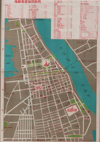
1960ref. 217495國家旅行社. National Travel Company. Circa1960s. Folding tourist brochure of Phnom Penh and environs in total 64.5 x 49.8cm 15 panels folded size 21.5 x 9.8cm. Two maps one of the city of Phnom Penh with street names in Khmer transliterated into Latin script 43 x 30cm. On reverse a coloured topographical map of southen Cambodia showing border with Vietnam 20 x 28.5cm. Numerous black and white photographic illustrations to accompany information on flights trains tourist entry requirements sights of interest to tourists. All information in traditional Chinese characters. Slight browning on one panel and two small holes mended with washi paper else in very good condition. Of particular interest in the visitor information is a description of an area about 150 km from the city of Phnom Penh which tourists can visit to take photographs of or hunt wild animals as long as they bring their own rifles. . 國家旅行社. National Travel Company. unknown
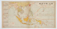
1572ref. 160545No place of publication.: 朝日新聞社. The Asahi Shimbun. 昭和十五1940. Published by 朝日新聞社 The Asahi Shimbun Japanese folding coloured WWII map with a calendar from January to June Shōwa 15 at the left scale 1:300000. Map includes French Indochina Dutch East Indies and parts of the territory of Papua China and British India. Some light browning and foxing otherwise very good. Text in Japanese. 25.3 x 51cm. Legend at lower left lists the boundaries between continents countries and provincials or regions railways airline routes capitals and Japanese embassies and consulates. The natural resources are indicated across the map. The map also shows parts of the territory of Papua under Australia's administration " 濠洲委任統治領 Gōshū inin tōchiryō". . 朝日新聞社. [The Asahi Shimbun]. unknown
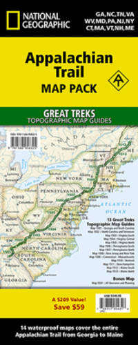
2019ref. 1-1566958326Natl Geographic Society Maps 2019. Paperback. New. fol map edition. 568 pages. 9.50x4.75x1.00 inches. Natl Geographic Society Maps paperback
ref. BN699161New York Dover 1969. from the Earliest Days down to the Close of the Revolutionary War from the Earliest Days down to the Close of the Revolutionary War A Book of Old Maps Delineating American History New York, Dover 1969. unknown
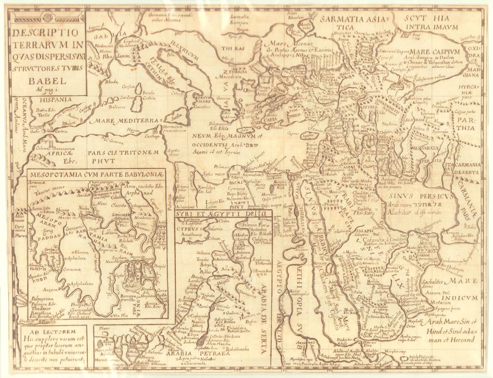
1681ref. 81147[Frankfurt a. M. impensis Johannis Davidis Zunneri; typis Balthasaris Christophori Wusti, 1681]. Größe: 28 x 36,5 cm.
ref. 1202Agen, Imprimerie du département, an VII (1799). Placard 42 x 53 sur vergé.
1700S.l., Haereditariis Terris, s.d. (vers 1700); 495/585 mm, 1 pp., une feuille. Coloriée d’époque. Autriche. Bon état.