LONDON.MareMagnum

11,782 results
19188vo., Index of 68pp facing large folding coloured map mounted on linen, measuring 30 x 44 ins (approx. 76 x 112 cms) folding in 36 panels to 7.5 x 5.5 ins (19 x 14 cms); the whole housed in publisher's red cloth wallet, upper board framed in blind and lettered in gilt with black retaining band (stretched through use and somewhat loose), a very good, bright, clean copty The map (scale: 4 inches to 1 mile) extends to Hampstead and Hackney in the north, Bromley and Greenwich in the east, Kennington and Walham Green in the south, and Brondesbury and Kensal Green in the west. EXTREMELY SCARCE IN THIS CONDITION.
1791ref. 10281Leipzig, Dykische Buchhandlung, 1791. Petit in-8 de [6]-602 pages, cartonnage gris, étiquette manuscrite au dos, en grande partie effacée, tranches mouchetées. Premier et dernier cahier déboîtés mais parfaitement solidaires. Quelques rousseurs.
1798ref. 32540-440Paris Edme Mentelle 1798. C. 330 x 430 mm. Framed 510 x 610 mm. Paris Edme Mentelle 1798. Fine map of the mouth of the Gironde river with Cognac and Angoulème in the centre. On upper corner right the map bears the no. 41. GEOGRAPHY: MAPS ; KARTEN KARTOGRAPHIE ; FRANCE ; Paris, Edme Mentelle unknown
1925ref. 1591Paris, Lib. orientaliste Paul Geuthner, 1925. 3 tomes en 1 vol. in-8 de XXXV-332-[2]-VI-438-VI-458 pages, reliure moderne pleine percaline bleue nuit, couverture conservée.
1935ref. 036820Los Angeles California: Title Guarantee And Trust / Title Insurance And Trust 1935 1936 1937 1938 1942 1946 1949 1951 1956 1957 1959 1961 1935. First Edition 1st Printing. Soft cover. Very Good/No Dust Jacket. 9 1/4" High. A Group Of 30 Different Booklets Including 19 Different First Printings 1935-1961 One With Second Issue Tipped In Slip 8Th Printing Of Old Spanish And Mexican Ranchos Of Orange County Six Are First Printings Of Later Revisions There Were Many Minor Revisions Usually Each Time They Were Re-Issued. Several Have Notations On Covers That They Were Gifts To Dr. George Hill Hastings From Arthur Mordan President Of Title Guaranty Who Employed Robinson. The Beverly Hills Book Has A Presentation Inscription From Mordan To Hastings The Island Of Santa Catalina Has A Long Notation By Hastings That It Was A Gift From Robinson Upon The Death Of Mordan A Dear Friend; Signed H. H. All Very Good To Near Fine Except Culver City Which Has Wear And Some Damp Spotting Centered On Spine And Extending Inwards Up To 1/4"; And The Forest And The People Is Only Good Worn And Some Small Light Water Spots. Title Guarantee And Trust / Title Insurance And Trust 1935 1936 1937 1938 1942 1946 1949 1951 1956 1957 1959 1961 paperback
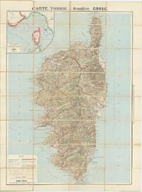
ref. 62609Paris: Cartes Tarides c.1922. Original separately issued colour-lithographed map of Corsica 105 x 81 cm dissected into 32 sections and backed onto linen with an inset map showing the navigation lines between Corsica France and Italy to upper left. Printed by Gaillae-Montrocq et Cie. Folding between drab paper covers. Some light spotting to verso most noticeable along folds some light marginal soiling generally a very good attractive example. The key to bottom left provides plenty of useful information to the motorist including the best roads those to avoid and the main summer seaside and thermal resorts which are highlighted in red. Paris: Cartes Tarides, [c.1922]. unknown
1921FIRST EDITION, TWO VOLUMES BOUND TOGETHER. This is a detailed survey of the city of Jerusalem during the start of the British Mandate in Palestine. Includes a large number of drawings, photographs, schematics and fold-out maps of the city, accompanied by essays in English and French. Editor Charles Ashbee was an architect, and paid close attention to the many religious edifices in the city. 285x230mm, XV+87+XVI+109 pages (only text pages are numbered). Brown Quarter-leather hardcover with large black illustration on front board. [CONDITION:] Cover edges and corners worn. Cover boards slightly dirty. Previous owner's inscription in Hebrew (dated 1969) on front endpaper. Some pages slightly age-stained. [SUMMARY:] This tandem-bound copy of a fascinating collection of textual and visual information is overall in very good internal condition; good external condition.
2013New New English Original bdg. Dust wrapper. In publisher's special slip-case. Folio. (32 x 24 cm). In English and Persian. 2 volumes set: (419 p.; 132, 123 p., many numerous color plates with full pages). Masterpieces of Persian Art from Polish Collections. Vol. 1: lllustrations. Vol. 2: Essays and descriptive catalogue.= Sâhkârîhâ-ye honar-e Îrân dar majmû'eh'hâ-ye Lahestân. Jild-i 1: Tasâwir. Jild-i 2: Maqâlât wa sarh-e tafsili-je tasâwir. 2 volumes set. This book is an enlarged version of the catalogue titled 'Masterpieces of Persian art from Polish collections' of the exhibition held at the National Museum in Warsaw and at the National Museum in Cracow in 2002.
2005Very Good Turkish Original printed poster in a standard black frame. Folio. (50 x 35 cm). In Turkish. Izmir and Istanbul live of Therapy in their "Never Apologise Never Explain Tour 2005". An extremely rare and fine graphic-designed Turkish poster. Signed by all three members of the band: Andy Cairns, Michael McKeagan, and Neil Cooper. Only dedication by Michael as 'Love from'. Sponsors of those concerts are Yüxexes (a modern rock music periodical published in Turkey), Eksen 96.2 (Turkish radio channel), Tekel birasi (National Turkish brand of beer), and Host Productions. A fine, very collectible, and extremely rare poster with its signatures and inscriptions.
1854(2) pp. [Title-page with list of contents on the verso] + 45 maps and plans, of various sizes (some quite large), most folding. Some damp stain and foxing, but nothing too substantial, except to the endpapers. Original full black cloth binding, stamped in blind, and lettered in gold gilt. Lightly worn. 4to. 300mm. These maps and plans illustrate the Reports of: the Commissioner of the General Land Office (8): Commissioner of Public Buildings (1-4); National Hospital for the Insane (1); Colonel of Topographical Engineers (31); and the Report of the Chief of Ordnance and Hydrography (1) [Officers Quarters at Annapolis]. Significant regions covered include parts of: Kansas; Nebraska; Arkansas; Florida; Michigan; Iowa; California; Minnesota; Wisconsin; Ohio; District of Columbia; New York; as well as a Topographical Map of a portion of the Isthmus of Darien, in site of proposed inter-oceanic navigation (canal). These reports were apparently an adjunct to the MAPS AND CHARTS OF THE UNITED STATES COAST SURVEY. A wonderful addition to any collection of U.S. Maps. . **PRICE JUST REDUCED! W155 CTR
ref. 6811imprimerie spécialisée dans les menus,6 rue Servan,Paris, sans date,vers 1920.Très bel album pour représentant de commerce.Format grand in 4,11 feuillets de bristol, feuillets intercalaires de papier cristal légendés. Cartonnage d’éditeur,demi-toile verte,titre doré sur le premier plat.L’Album contient un étonnant ensemble de 100 modèles de superbes menusgaufrés, imprimés,en or,en argent ou en couleurs, avec une typographie et des ornements très typique des années 20,ainsi que des cartes de table et de visite.Le tout,classé par série et mode d’impression,est contrecollé et en parfait état de conservation.On joint 3 albums,in 8 étroit broché, Novembre 1931 mai 1932(tarif) janvier 1939 tarif producteur en suspension de taxe. Peu courant
ref. 66675CBo.J. (Johann Janssonius, geb. 1588 in Arnhem, gest. vor dem 11. Juli 1664 in Amsterdam, eigentlich Jan Janszoon, weitere Schr
ref. 13188DBo.J. [2 Warenabbildungen] Tobias Conrad Lotter, geboren 1717, gestorben am 14. Juli 1777. Kupferstecher, Kartograph und Verleger in Augsburg.
ref. 191923S.N. Lyon 1594 Un volume in-8 ( 170 X 110 mn ), reliure velin à rabats avec reste de lacet. Notre volume contient les 2 premiers livres ( 1bl, titre, épître et discours ), 118 pages - 203 pages. 4 bandeaux et 4 lettrines.
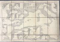
1914ref. 005933Paris: Dépôt des Cartes et Plans de la Marine 1914. Cloth Backed. Very good. This extensive uncolored sea chart provides comprehensive coverage of the entire Eastern Mediterranean Sea in multiple panels which have been assembled and backed with cloth to form a large composite map. Published by the official French hydrographic office in Paris the "Dépôt des Cartes et Plans de la Marine" which became the Service Hydrographique de la Marine around this time the chart is a practical navigational aid rather than a decorative one. It features a dense network of hydrographic data including numerous soundings indications of sea bed composition and detailed representations of coastlines and harbors. The chart's functional uncolored style is typical of official government maritime surveys designed for practical use by mariners with details corrected and augmented over time to reflect the most current surveys. Sheet dimensions: 76 cm x 107 cm approx. assembled from multiple sheets. Condition: Very Good. Sound paper uncolored as issued minimal signs of wear along seams where sheets are joined. Please see photos for full appraisal of condition. Dépôt des Cartes et Plans de la Marine unknown
1914ref. 005930Paris: Dépôt des Cartes et Plans de la Marine 1914. Loose Sheet. Very good. This extensive uncolored sea chart provides comprehensive coverage of the entire Western Mediterranean Sea in multiple panels which have been assembled and backed with cloth to form a large composite map. Published by the official French hydrographic office in Paris the "Dépôt des Cartes et Plans de la Marine" which became the Service Hydrographique de la Marine around this time the chart is a practical navigational aid rather than a decorative one. It features a dense network of hydrographic data including numerous soundings indications of sea bed composition and detailed representations of coastlines and harbors. The chart's functional uncolored style is typical of official government maritime surveys designed for practical use by mariners with details corrected and augmented over time to reflect the most current surveys. Sheet dimensions: 76 cm x 107 cm approx. assembled from multiple sheets. Condition: Very Good. Sound paper uncolored as issued minimal signs of wear along seams where sheets are joined. Please see photos for full appraisal of condition. Dépôt des Cartes et Plans de la Marine unknown
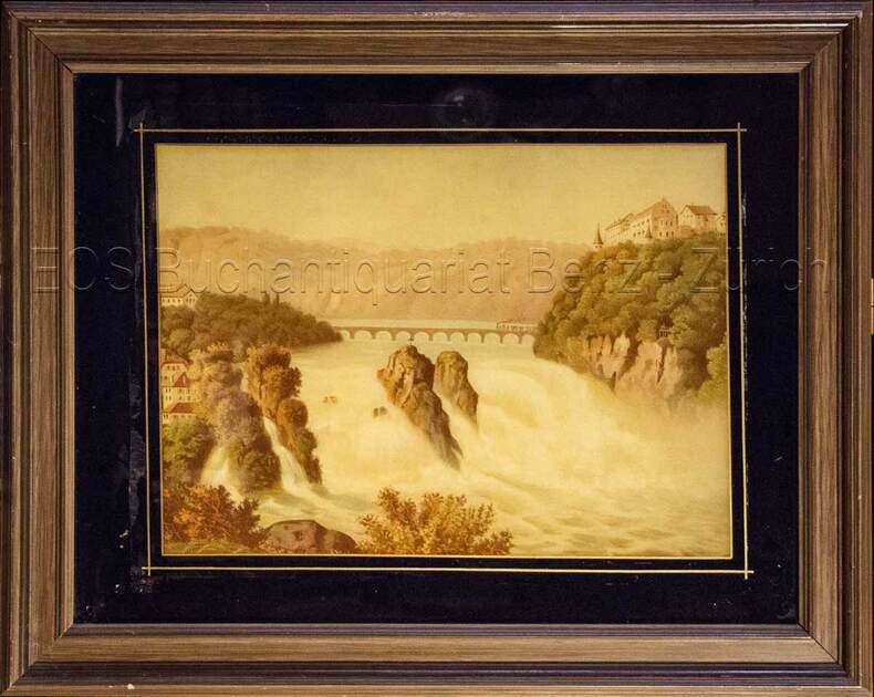
1860ref. 825CG(um 1860). Chromolithographie hinter Glas. Bildausschnitt: 28,5 x 39 cm.
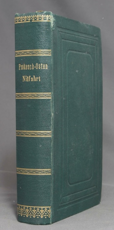
1874ref. 10458Leipzig, F. A. Brockhaus, 1874. In-12 de XIV-[2]-584 pages, pleine percaline verte, roulettes, titre et filets dorés au dos, plats ornés d'encadrements à froid, tranches marbrées. Tout petit accroc au mors du premier plat. Un prospectus Deutsche Buch-Gemeinschaft glissé dans le livre (et que nous y laissons) a foncé les deux pages entre lesquelles il se trouve.
1893ref. 10026Paris, Librairie Hachette et Cie, 1893. In-4 de [4]-368 pages, demi-cartonnage façon toile bleue, pièce de titre noire avec titre doré au dos.
1840ref. 658DGum 1840. 2 kolorierte Aquatinata. Bild- Blattgrösse: 8,5 x 12,3 cm.
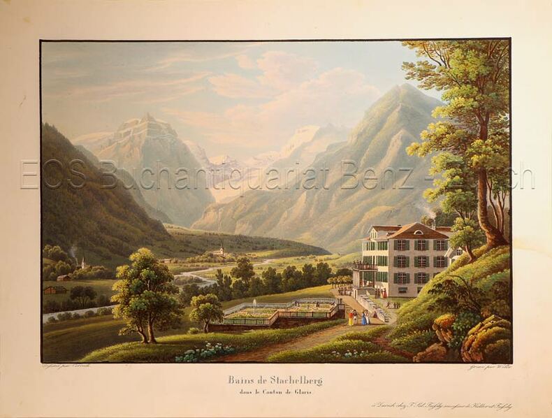
1835ref. 624DGZürich, F. Sal Füssly successeur de Keller et Füssly, um 1835. Aquatinta von Lukas Weber (1811-1860). Bildgrösse: 17,2 x 25,2 cm. Blattgrösse: 22,4 x 29,6 cm.
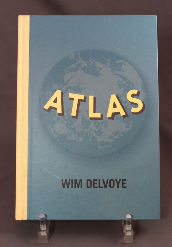
1999ref. 7674Nantes, Fonds régional d'art contemporain des Pays-de-la-Loire, Michel Baverey éditeur, 1999. In-4 non paginé, cartonnage bleu illustré d'éditeur, dos de toile écrue. A l'état de neuf.
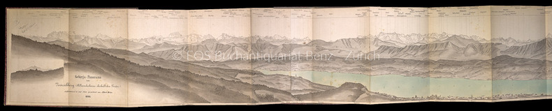
1866ref. 229BGZürich, Verlag der Schabelitz'schen Buchhandlung (Caesar Schmidt), 1866. Kolorierte Lithographie (in ursprüngl. 3 Teilen). Leporello in Halbleinen-Umschlag. Bildgrösse: 165 cm x 16,5 cm. Blattgrösse: 166 x 18,5 cm.
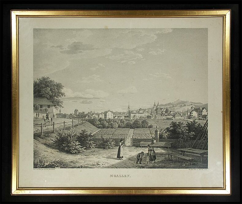
1827ref. 364DGCarlsruhe, Joh. Velten, 1827. Lithographie. Bildformat: 42 x 50 cm.
1880ref. 141DGO.O,. O.J. (um 1880). Farbige Lithographie auf Papier, auf Leinen aufgezogen. Bildformat: 65 x 171 cm.