AA (Pieter van der).Livre Rare Book
12,176 results
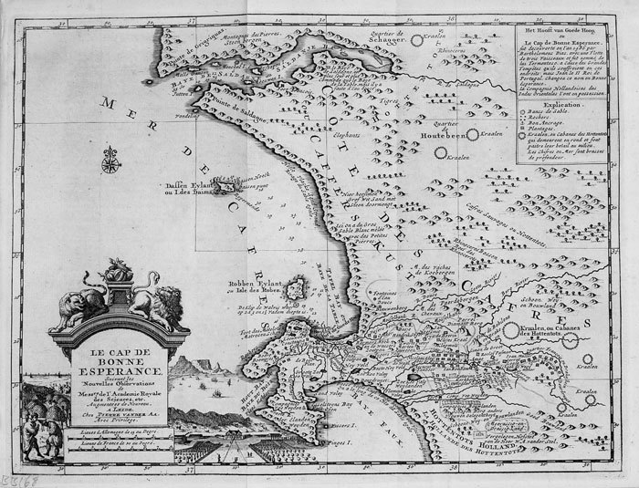
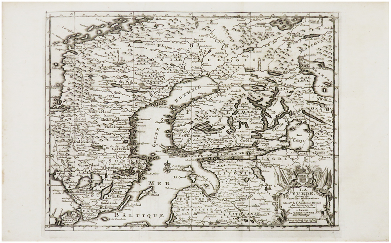
1729ref. LBW-6214Leide, Pierre Vander Aa, [1729]. 219 x 295 mm.
1729ref. LBW-6236Leide, Pierre Vander Aa, [1729]. En deux feuilles pouvant être jointes pour former une carte de 432 x 295 mm.
1730ref. LBW-800Leide, [circa 1730]. 223 x 297 mm.
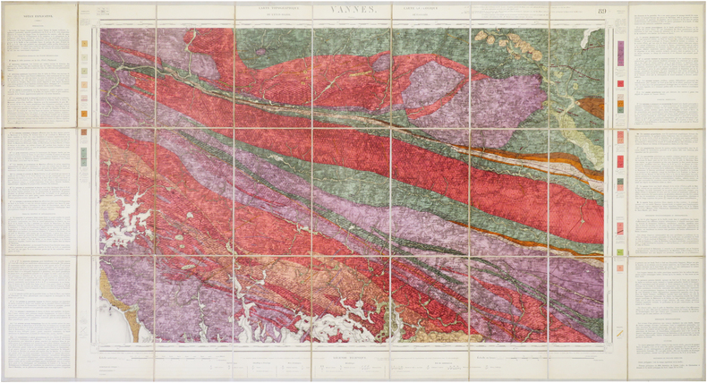
1889ref. LBW-5990Paris, [1889]. 612 x 770 mm.
1889ref. LBW-8831[Paris, 1889]. 610 x 769 mm.
1800ref. LBW-6863Londres, J. Stockdale, 1800. 230 x 255 mm.
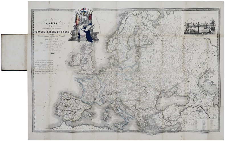
1854ref. LBW-6420Paris, chez l'auteur, 1854. 571 x 856 mm, replié et monté dans une reliure en percaline verte avec étiquette illustrée sur le premier plat.
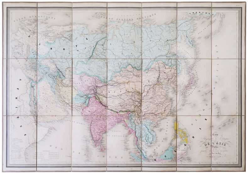
1861ref. LBW-5129Paris, E. Andriveau-Goujon, 1861. En 21 sections montées sur toile et pliées, formant une carte de 673 x 943 mm, sous chemise et étui de papier marbré bleu, étiquette illustrée de l'éditeur E. Andriveau-Goujon au dos.
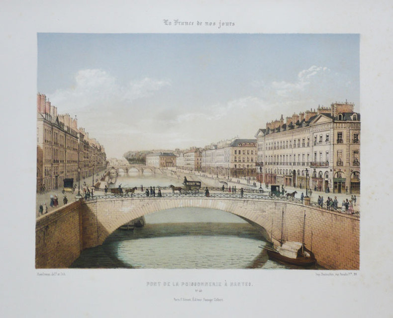
1855ref. LBW-898Paris F. Sinnett circa 1855 245 x 264 mm.
1855ref. LBW-884Paris F. Sinnett circa 1855 240 x 275 mm.
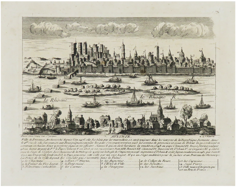
1720ref. LBW-6830Paris, Crépy, [circa 1720]. 176 x 204 mm.
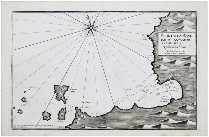
1730ref. LBW-6149[circa 1730]. 289 x 450 mm.
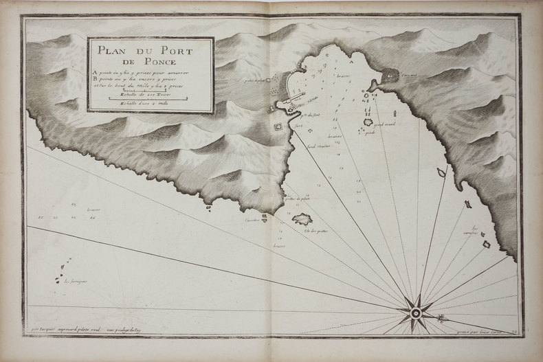
ref. LBW002c9[circa 1730]. 299 x 457 mm.
ref. LBW00269[circa 1730]. 290 x 450 mm.
ref. LBW0025a[circa 1730]. 290 x 450 mm.
ref. LBW-3327[circa 1730]. 293 x 454 mm.
ref. LBW0025f[circa 1730]. 291 x 452 mm.
ref. LBW00267[circa 1730]. 292 x 452 mm.
ref. LBW004e9[circa 1730]. 299 x 457 mm.
1746ref. LBW-570Dijon, F. Desventes, 1746. 438 x 613 mm.
1890ref. LBW-7857Paris, Dépôt de la Guerre, 1890. En 27 sections montées sur toile et repliées, formant une carte de 0,61 x 1,14 m ; étiquette au dos de la carte de la Maison Andriveau-Goujon Henry Barrère, Éditeur Géographe.
1780Questo panorama di Roma risulta essere una copia di quello edito da Chereau intorno al 1730 circa. L’assenza del porto di Ripetta e della scalinata di Trinità dei Monti permette di datare il paesaggio ritratto al 1700 circa. La raffigurazione di San Pietro ricorda quella del Barriere che è forse da ritenersi il lontano prototipo di questa serie di vedute edite in Francia nel XVIII secolo.Di questa incisione è nota una variante, censita da Marigliani, che reca in basso l’indirizzo di François Basset, e la cui edizione risale al 1780 circa.È quindi possibile suppore che questo sia il primo stato della lastra, avanti l’indirizzo editoriale, oppure che Basset abbia successivamente acquisito il rame e pubblicato con l’aggiunta del proprio indirizzo.Incisione in rame, finemente colorata d'epoca, in basso tre righe di testo in francese e legenda numerica 1-16, in ottimo stato di conservazione. This panoramic view of Rome is a copy of the one published by Chereau around 1730 or so. The absence of the port of Ripetta and the stairway of Trinità dei Monti allows us to date the landscape portrayed to around 1700. The depiction of Saint Peter recalls that of the Barriere which is perhaps to be considered the prototype of this series of views published in France in the eighteenth century.Marigliani describes a copy bearing the address of François Basset below, and whose edition dates back to around 1780.It is therefore possible to suppose that this is the first state of the plate, before the editorial address, or that Basset has subsequently acquired the plate and then published it with the addition of his own address.Copper engraving, finely colored at the time, three lines of text in French at the bottom and numerical key 1-16, in excellent condition. C. Marigliani, "Le Piante di Roma delle collezioni private", tav. 174 (variante)
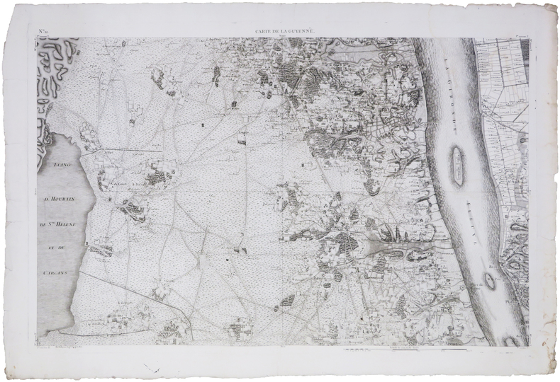
1824ref. LBW-1736Paris, Dépôt-Général de la Marine, 1824. 591 x 876 mm.
1785ref. LBW-7580[1785]. 585 x 895 mm.
1769ref. LBW002d4[1769]. En quatre feuilles d'environ 230-240 x 275-300 mm.