Direzione Generale del CensoMareMagnum

12,228 results
1866Rara pianta della città, a proiezione verticale, orientata con il nord in alto.La pianta fu pubblicata per la prima volta nel 1829: "La pianta del Censo è senz'altro la più accurata e significativa pianta della Roma Papale nel sec. XIX. Gli edifici sono campiti a tratteggio; chiese e monumenti principali sono rappresentate con la pianta interna. L'orografia è chiaramente leggibile così come il disegno del verde. Ampia legenda sul lato sinistro ed in basso a destra elenco dei XIV rioni. È raffigurata la sola città entro il perimentro delle mura che risalta pertanto nitidamente sul fondo bianco. Il Cardinale Cesare Guerrieri, primo presidente della Congregazione dei Catasti (poi Censo) dal 1816 al 1832, fece incidere e pubblicare questa pianta, basandosi sulle mappe manoscritte del Catasto Urbano ordinate da PIO VII nel 1818 e completate nel 1822" (cfr. Marigliani p. 323). Una seconda stesura dell'opera viene alla luce nel 1854, ristampa delle lastre originali, che contiene l'indicazione del ponte di ferro costruito accanto a Ponte Rotto. La pianta fu poi definitivamente emendata nel 1866 - questa nostra edizione."E' la più accurata immagine della città subito prima che diventasse capitale. Compare il ponte di ferro a San Giovanni dei Fiorentini (1863) ed è indicata la fabbrica dei tabacchi (1863) con l'antistante Piazza Matai (1864). Ci sono le linee ferroviarie a Termini (1862) mentre manca ovviamente il fabbricato die viaggiatori (1867). È riportato infine il primo tratto di via Nazionale (fino a via Quattro Fontane), tracciata proprio nel 1866" (cfr. Marigliani p. 411).Acquaforte, stampata da 4 lastre su altrettanti fogli di carta coeva, tagliati, applicati su tela e montati ad astuccio. Tela leggermente lesionata nelle pieghe, per il resto in buono stato di conservazione.Esemplare con ex-libris della libreria di Ulderico Bossi, che aveva sede in Roma a via del Corso 401.BibliografiaA. P. Frutaz, "Le piante di Roma", n. 191; C. Marigliani, "Le Piante di Roma delle collezioni private", n. 354; Scaccia Scarafoni, "Le Piante di Roma", n. 312. Rare map of the city, with vertical projection, oriented with the north at the top.The map was published for the first time in 1829, and is undoubtedly the most accurate and significant map of Papal Rome in the nineteenth century. Wide key-legend on the left side and at the bottom right list of the XIV districts. It is represented the only city within the perimeter of the walls that stands out clearly on the white background. Cardinal Cesare Guerrieri, first president of the Congregazione dei Catasti (later Censo) from 1816 to 1832, had this map engraved and published, based on the manuscript maps of the Catasto Urban ordered by PIO VII in 1818 and completed in 1822. A second issue of the map comes to light in 1854, reprint of the original plates, which contains the indication of the iron bridge built next to Ponte Rotto. The map was then definitively amended in 1866 - our edition.It is the most accurate image of the town just before it became capital of Italy. The iron bridge appears in San Giovanni dei Fiorentini (1863) and the tobacco factory (1863) is indicated with the opposite Piazza Matai (1864). There are the railway lines at Termini (1862) while the travellers' building (1867) is obviously missing. Finally, shows the first part of Via Nazionale, traced in 1866.Etching, printed from 4 plates on 4 sheets of contemporary paper, cut, applied on canvas and mounted in a box. Canvas slightly damaged in the folds, otherwise in good condition.Exemple with ex-libris of the book seller Ulderico Bossi, which was based in Rome in via del Corso 401.BibliografiaA. P. Frutaz, "Le piante di Roma", n. 191; C. Marigliani, "Le Piante di Roma delle collezioni private", n. 354; Scaccia Scarafoni, "Le Piante di Roma", n. 312. A. P. Frutaz, "Le piante di Roma", n. 191; C. Marigliani, "Le Piante di Roma delle collezioni private", n. 354; Scaccia Scarafoni, "Le Piante di Roma", n. 312.
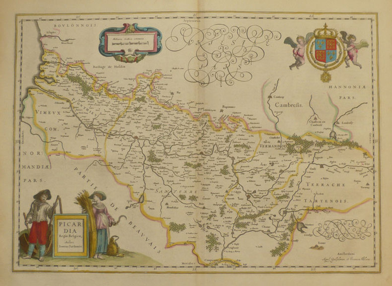
ref. 231868(c.1579) 32.5 x 51 cm ( composition) - 42 x 56.5 cm (feuille), Mouillures. Pliures. Petite déchirure centrale sur l bord supérieur au niveau de la pliure.
1661ref. LBW-859Amsterdam 1661 379 x 532 mm.
197536" x 25.5". Indicates 25 foot contours, water bodies, roads, rail lines, structures, etc. Light wear. Book
1955No marks or inscriptions. Minor creasing to upper corners. A very clean very tight copy with bright unmarked slightly rubbed boards and no bumping to corners. 128pp. Properties, places, highways and countryside in Britain, shown in black & white photographs.
ref. SLIVCN-3760361290379KEROZENN
1991ref. 15194Chez l'auteur 1991 255 pages IN4. 1991. broché. 255 pages. Cet ouvrage de Roger Duvollet prêtre ayant vécu 75 ans en Afrique du Nord compile ses souvenirs et notes sur les pieds-noirs et autres tribus de la région. Le tome XIII fait partie d'une série de 24 volumes richement illustrés de photographies cartes et dessins couvrant la période 1982-2002
ref. 52084Photographe-éditeur, imprimerie Borel et Feraud , Gignac-la-Nerthe ,1997
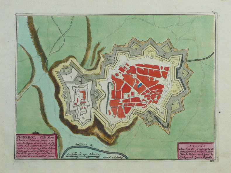
1702ref. LBW-1347Amsterdam Pierre Mortier 1702 190 x 261 mm.
ref. 093065711X.Gpaperback. Good. Access codes and supplements are not guaranteed with used items. May be an ex-library book. paperback
ref. 15161Paris Au Dépôt Général de la Marine 1822 petit in folio (38x29) 1 volume reliure cartonnée de l'époque (dos absent). Titre gravé et 91 planches gravées hors-texte, toutes sur double page, non rognées, et montées sur onglets. Rédigé par Beautemps-Beaupré, ingénieur Hydrographe en Chef de la Marine, Membre de l'Académie Royale des Sciences de l'Institut de France et de la Société Royale des Sciences de Goettingen. Bel exemplaire complet, tel que paru
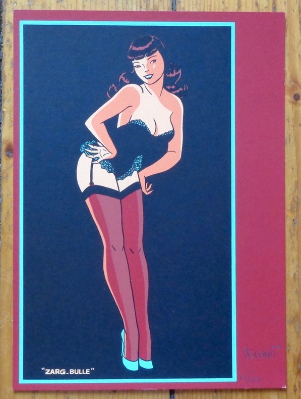
ref. 8460Zarg-bulle. Ex-libris au format 15,5 x 22 cm.
ref. SLIVCN-3760024991605MINUS EDITIONS
ref. 1887749608.Gspiral_bound. Good. Access codes and supplements are not guaranteed with used items. May be an ex-library book. unknown
1780Pianta del rione tratta dalla celebre guida di Roma di Dominique Magnan La ville de Rome, ou, Description abrégée de cette superbe ville: divisée en quatre volumes: et ornée de 425 planches en taille douce. A Rome: De l'imprimerie d'Archange Casaletti ... : Chez Venan. Monaldini, Bouchard et Gravier : Gregoire Settari ..., 1778. Dominique Magnan (1731–1796), dotto abate francese del convento della Trinità dei Monti, dell'ordine dei minimi, a Roma, che fu profondamente coinvolto nella vita intellettuale della sua comunità durante la seconda metà del XVIII secolo. Ha studiato all'università di Avignone, poi si è unito ai Minimi di La Ciotat all'età di 20 anni, dove ha iniziato la sua carriera come collezionista di monete e medaglie antiche. Nominato professore di teologia a Marsiglia, ha continuato il suo lavoro. Si mise in contatto con i più famosi antiquari dell'epoca, sia in Italia che in Germania, e acquisì rapidamente una vasta reputazione. I suoi primi libri hanno ricevuto il plauso della critica. Ma i suoi lavori più significativi erano sulla numismatica sebbene fortemente criticati dagli specialisti dell'epoca in quanto la copertura universale e completa del soggetto poteva mantenere la confusione tra monete autentiche e false. Bibliografia: Rossetti, G-1285; Schudt 363. Map taken from the famous guide of Rome by Dominique Magnan La ville de Rome, ou, Description abrégée de cette superbe ville: divisée en quatre volumes: et ornée de 425 planches en taille douce. A Rome: De l'imprimerie d'Archange Casaletti ... : Chez Venan. Monaldini, Bouchard et Gravier : Gregoire Settari ..., 1778. Dominique Magnan (1731–1796), a learned French abbot of the Trinità dei Monti convent, of the order of the minims, in Rome, who was deeply involved in the intellectual life of his community during the second half of the 18th century. He studied at the University of Avignon, then joined the Minims of La Ciotat at age 20, where he began his career as a collector of ancient coins and medals. Appointed professor of theology in Marseille, he continued his work. He got in touch with the most famous antiquaries of the time, both in Italy and Germany, and speedily acquired an extensive reputation. His first books received critical acclaim. But his most significant works were on numismatics though heavily criticized by specialists of the time in that universal and complete coverage of the subject could maintain confusion between authentic coins and the fake ones. Bibliografia: Rossetti, G-1285; Schudt 363.
1926Very Good German Paperback. Small 4to. (26 x 18 cm). In German. [xLviii], 88 p., 4 numerous b/w plates (Tafeln). Piri Re'îs [sic. Pirî Reis] Bahrîje. Das türkische Segelhandbuch für das Mittellandische Meer vom Jahre 1521. Band II: Übersetzung. 1. Lieferung, Kapitel 1-28. First Edition.
1984Fine English Paperback. Pbo. Very good. Cr. 8vo. (20 x 14 cm). In Turkish, Italian, German, French and English. 44 p. Piri Reis haritasi.= La carta marina di Piri Reis.= Die karte des Piri Reis.= Carte de Piri Reis.= Piri Reis map.
Zaragoza, CSIC, 1953. 4to.; 355 pp. Ilustraciones entre el texto, 18 láminas fotográficas y un gran mapa plegado "Mapa de la situación de 340 dólmenes y túmulos descritos en el "Catálogo dolménico del País Vasco"". Cubiertas originales.
Zaragoza, CSIC, 1952. 4to.; 214 pp. Ilustraciones y 16 láminas con mapas y fotografías. Cubiertas originales.
2001ref. DADAX1566958644National Geographic 2020-01-01. 2020. map. New. 5.20x0.60x9.20. Buy with confidence. Excellent Customer Service & Return policy. National Geographic unknown
ref. 1566958644.Gmap. Good. Access codes and supplements are not guaranteed with used items. May be an ex-library book. unknown
ref. carte2b12Format : Feuille : 46 x 31,5 cm / Cuvette : 24,5 x 36 cm. Année : 1780.
ref. 14135Carte de 40 x 49 cm (52 x 63 cm avec marges) de la ville dYpres.
1915ref. CZC-13311format 62x49cm, (1/20.000) avec lignes métro et chemins de fer. Publié par Henon, vers 1915 ref/classeur 4
1915ref. CZC-13311format 62x49cm, (1/20.000) avec lignes métro et chemins de fer. Publié par Henon, vers 1915 ref/classeur 4