12,070 results
1840ref. 42211Hamburg bei G. W. Niemeyer, Ca. 1840. Lithographed map ""Plan von Hamburg"", Steindruck von J. Guntrum, Verlag von G.W. Niemeyer. (33x50 cm.). Folded inserted in orig. cloth-covers, gilt.
1957ref. 88245Hamburg, Falk-Verlag, 1956/1957. Mehrfach gefalt. farbiger Straßenplan. [Maßstab ca. 1:20.000]. 37 x 37 cm Kartenmaß 37 x 37 cm. Blattgröße 40 x 39,5 cm. Gefaltet 20 cm. Beidseitig folienkaschiert.
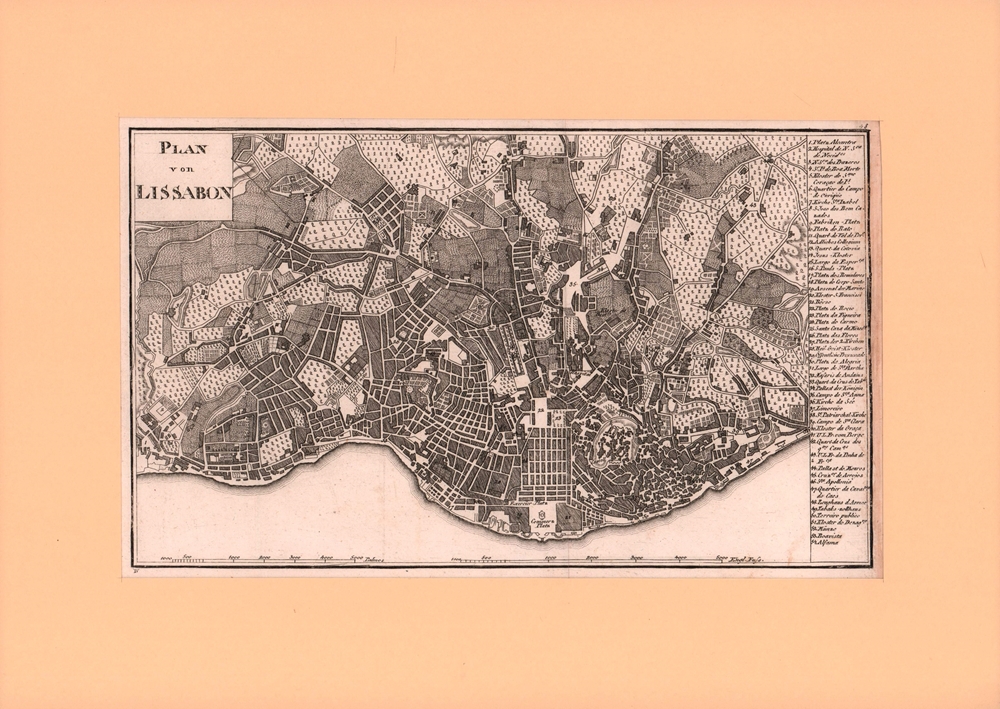
1800ref. 76903[ca. 1800]. Bildgröße 17,5 x 30 cm. Unter Feinkartonpassepartout.
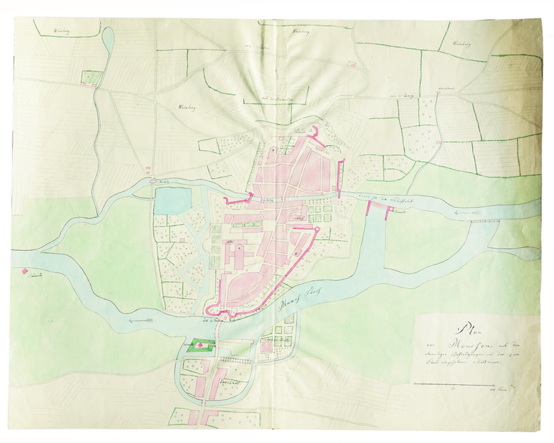
1850ref. LBW-4157[circa 1850]. 451 x 571 mm, sur papier vélin.
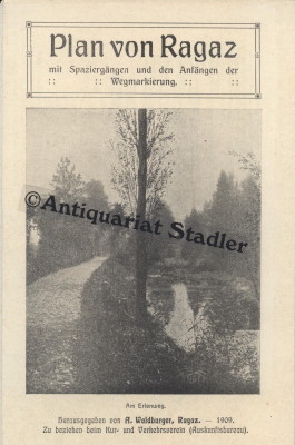
1909ref. 6413Ragaz 1909. 1 mehrfarb. Faltplan m. Textteil. 18x12 cm (35x45 cm). [2 Warenabbildungen]
19632 colour maps. eng
1987Good+ Hardback with good+ dust jacket. Including the electronic technology and satellite navigation. Minor shelf wear. Corners of boards have been knocked very slightly. Clean text. Black & white/colour illustrations. 196p.
1876ref. 71305Hamburg, F. L. Hahne, 1876. Zweifarbiger, lithograph. Faltplan (51 x 53 cm).
1876ref. 71760Hamburg, Ch. Fuchs Lith. Inst. 1876. Dreifarbiger, lithographierter Faltplan (50 x 67 cm), mehrfach gefaltet.
194718 pages, folded map. eng
1834ref. 27140Paris L. Tenré 1834/1835 une carte ancienne gravée en noir par Ambroise TARDIEU, Format : 37 x 22 cm, Tirée de : "Voyage pittoresque autour du monde, résumé général des voyages de découvertes de Magellan, Tasman, Dampier,... etc.", publié sous la direction de M. Dumont d'Urville,... [Rédigé par Louis Reybaud], 1834-1835 Paris : L. Tenré Editeur,
1700Bell'esemplare della rara mappa del doppio emisfero del mondo di Adam Freidrich Zurner, impreziosita da 26 scene decorative e proiezioni scientifiche dei cieli celesti e teorie e insegnamenti astronomici contemporanei.Il lavoro di Zürner è relativamente sconosciuto, di solito appare negli atlanti di altri editori, come l'Atlas Contractus di Schenk o della famiglia Ottens.Una mappa attraente e interessante ricca di dettagli che comprende la maggior parte della costa dell'Australia, la costa occidentale della Nuova Zelanda e le rotte e le scoperte degli esploratori Magellano, Dampier ("Nova Britannia" nel 1700), Tasman, Gaetani e Chaumont. Intorno alla mappa c'è un bordo elaborato che mostra venti e climi e lungo il bordo inferiore un panorama che illustra tempeste, terremoti, maree, vortici e un commento testuale su tutti i fenomeni naturali illustrati. Acquaforte, finemente colorata a mano in epoca, in ottimo stato di conservazione. Fine example of Adam Freidrich Zurner's scarce double hemisphere map of the World, embellished with 26 decorative scenes and scientific projections of the Celestial skies and contemporary astronomical theories and teachings.Zürner's work is relatively unknown, appearing usually in other publishers' atlases, such as Schenk's Atlas Contractus.An attractive and interesting map full of detail including most of the coast of Australia, the western coast of New Zealand, and the routes and discoveries of explorers Magellan, Dampier ("Nova Britannia" in 1700), Tasman, Gaetani and Chaumont. Surrounding the map is an elaborate border showing winds and climates, and along the bottom edge a panorama illustrating tempests, earthquakes, tides, vortices, and a textual commentary on all the natural phenomena illustrated.California is shown as an island, but very tentatively so, with the coloring suggesting that it may be a peninsula, suggesting early knowledge of Fra. Eusebio Kino's observations from California. Copperplate, fine original colouring, good condition. Shirley, The Mapping of the World, n. 639.
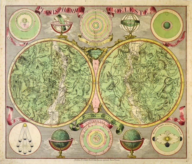
1760ref. LBW-8679Augsbourg, Tobias Conrad Lotter, [circa 1760]. 485 x 570 mm.
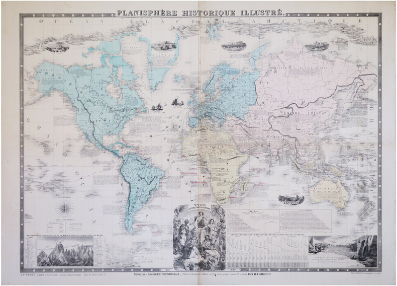
1880ref. LBW-6284Paris, Eugène Pick, 1880. 0,76 x 1,02 m.
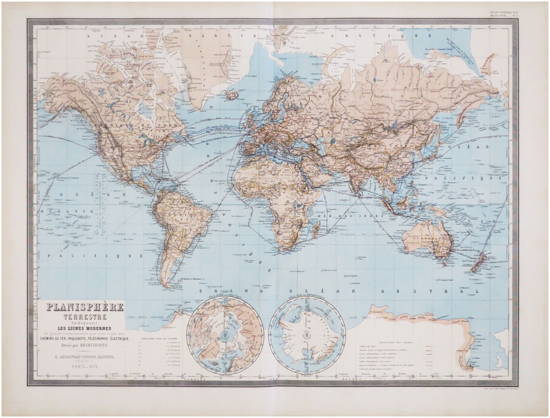
1872ref. LBW-7832Paris, E. Andriveau-Goujon, 1872. 467 x 624 mm.
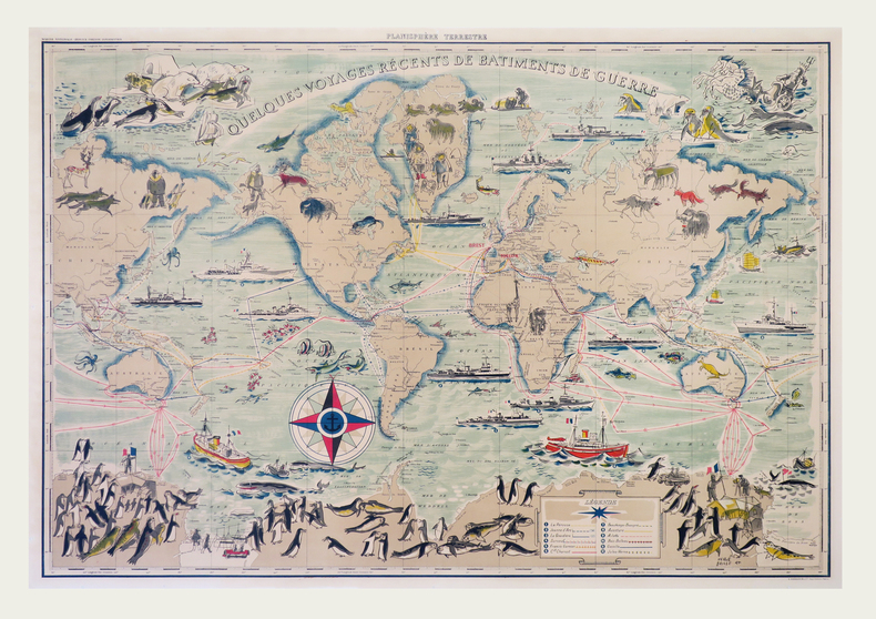
1955ref. LBW-7920Paris, G. Barbarin et Cie, [circa 1955]. 695 x 990 mm, monté sur toile.
ref. 10702Paris, Fatout, 1855, 65 x 88 cm, entoilée. Parties coloriées. Sous étui. Bon état.
ref. LBW-6627[fin du XVIIIe siècle]. 43,5 x 55 cm, sur une feuille de 48 x 63,5 cm.
Mapa de Madrid desplegable en color. Ilustrado por las dos caras. Con publicidad de la época.Levemente rozado. Buen ejemplar.
No publication date, scale 1: 50 000. eng
1747ref. LBW-40941747. 505 x 772 mm.
1840ref. 163261840 12 sections montées sur toile et pliées, formant une carte de 520 x 590 mm., Vienna Artaria ca. 1840
ref. Tir30Bradshaw's Continental Railway Guide 0 Petit livret In12 comportant les plans dépliant des villes suivantes : - Ostend/ Ostende , sans date - Paris , 1849 - Ghent / Gand , sans date - Brussels / Bruxelles , sans date - Antwerp: Anvers , - Hague's Gravenhage / La Haye , sans date - Mainz / Mayence ,sans date - Fankfurt on the main , sans date - Munchen , sans date - Berlin , sans date Il n'y a pas d'échelle sauf 2 en yards et en mètres . Les plans sont en relatif bon état , par contre les couvertures sont en très mauvais état , manques et taches ; Il doit s'agir du livret additionnel de plans fourni avec la 1ere édition du Bradshaw's Continental Railway Guide de 1853 .
ref. 227357Collection Anciennes descriptions de Paris, VIIIParis, A. Quantin, 1883 petit in-8, [2] ff. n. ch., LXXXIII pp., 53 pp., un f. n. ch. de table, avec 3 plans dépliants hors texte, broché.