Federal Board of Surveys and MapsBiblio.com
12,289 results
ref. 0364915072.Ghardcover. Good. Access codes and supplements are not guaranteed with used items. May be an ex-library book. hardcover
1805Folio. Bladet, som omfatter både kort og tekst er trykt på svært skrivepapir og måler 49x64 cm., som udgivet. Den ene halvdel er kobberstukket og håndkoloreret (45x30 cm.) visende Christiansøe, Græs Holmen og Fridrichs Holm samt de omgivende skær med kompasrose og angivelse af vindretninger. Nederst på kortet Prospect af Christiansøe fra den sydlige side, alt indrammet af bred kobbertukket og håndkoloreret bort. Den anden halvdel af bladet har 1 sides foliotekst ""Beretning til Kaartet over Christiansøe og om Fyhret sammesteds, samt om Ankerpladserne under Bornholm""
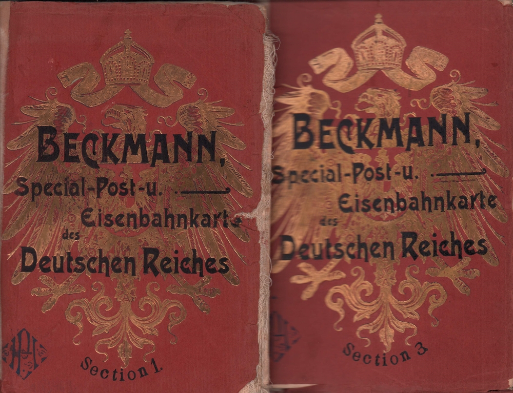
1905ref. 89469Stuttgart, Klemm und Beckmann, [ca. 1905]. Jeweils ein farbiger Faltplan (178 x 143 cm). Gr.-8vo. 23,5 cm. OKart. m. gold- u. schwarzgeprägtem VDeckel.
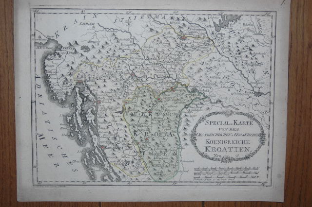
1789ref. 110616Wien, Reilly, ca. 1789. 22 x 29 cm (Blattgröße 24 x 32 cm).
1990Illustrated, maps. eng
1805ref. 24551Folio. Bladet, som omfatter både kort og tekst er trykt på svært skrivepapir og måler 49x64 cm., som udgivet. Den ene halvdel er kobberstukket og håndkoloreret (45x30 cm.) visende Christiansøe, Græs Holmen og Fridrichs Holm samt de omgivende skær med kompasrose og angivelse af vindretninger. Nederst på kortet Prospect af Christiansøe fra den sydlige side, alt indrammet af bred kobbertukket og håndkoloreret bort. Den anden halvdel af bladet har 1 sides foliotekst ""Beretning til Kaartet over Christiansøe og om Fyhret sammesteds, samt om Ankerpladserne under Bornholm""
1795ref. 118021795 toilée, étui. 1 carte pliante, 51 x 74 cms, Berlin, D.F. Sotzmann, 1795,
2001ref. 027476Hilversum 2001 Verloren Soft cover 1st Edition
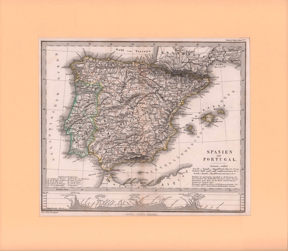
1860ref. 76906Gotha, Justus Perthes, [ca. 1860]. Bildgröße 19 x 23,5 cm. Unter Feinkartonpassepartout.
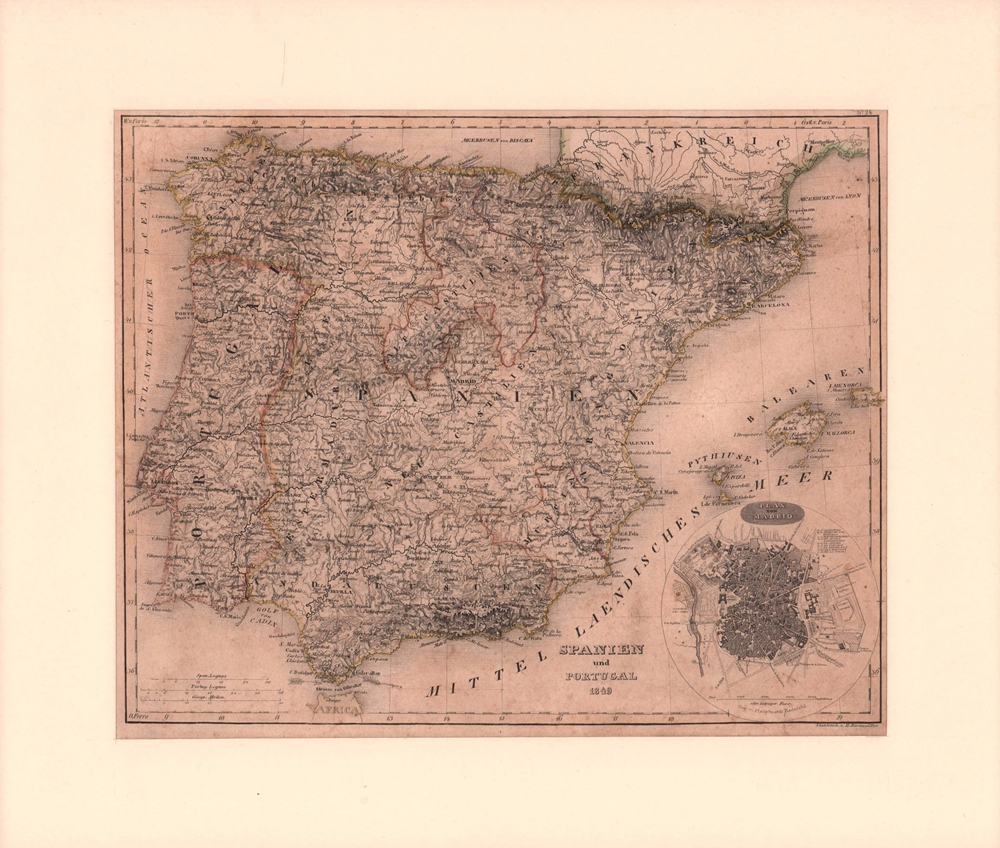
1850ref. 76901[Hildburghausen, Geograph. Anstalt des Bibliographischen Instituts], [ca. 1850]. Bildgröße 20,5 x 26 cm. Unter Feinkartonpassepartout.
1992Supplement to National Geographic, February 1992. eng
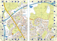
2001ref. SBBIH-XOYKKRTTDZ2JAutomobile Association 2001. map. Acceptable. Please see the condition note after this for details if this is missing please consider Acceptable to mean poor quality that could include major staining water damage writing missing dustjacket etc etc. Our books are dispatched from a Yorkshire former cotton mill. We list via barcode/ISBN so please note that the images are stock images and may not be the exact copy you receive furthermore the details about edition and year might not be accurate as many publishers reuse the same ISBN for multiple editions and as we simply scan a barcode or enter an ISBN we do not check the validity of the edition data when listing. If you're looking for an exact edition please don't order at least not without checking with us first although we don't always have time to check. We aim to dispatch prompty the service used will depend on order value and book size. We can ship to most countries see our shipping policies. Payment is via Abe only. Automobile Association unknown
ref. 43179ABEdinburgh u. London, W. Blackwood, o.J. Gr.-8°. 1 mehrfachgef. Kte. a. Leinwand gezogen. Leinwand. Vergold. Deckeltitel. Cloth. Gilt title on spine. Stark ber. u. best. Stock- u. fingerfl. Rubbed and bumped. Foxed and stained.
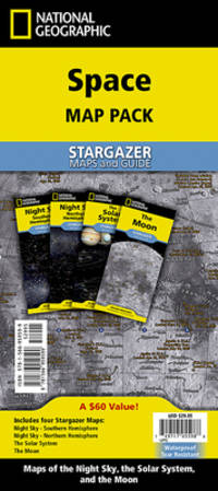
2024ref. 1-1566959594National Geographic Maps 2024. Paperback. New. 2024 map edition. 8 pages. 9.25x4.25x0.20 inches. National Geographic Maps paperback
1977eng
2002book in as new condition. Soft covers with self-wraps. 143pp. An introduction to Canada, very well illustrated.
1956No marks or inscriptions. No creasing to covers or to spine. A lovely clean very tight copy with bright unmarked boards, slight rubbing to top of spine and no bumping to corners. 132pp.
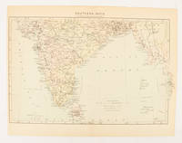
1910ref. 174841London. circa1910. Printed colour map on conjoined pages 22.3 x 33.7 railways submarine cables and heights above sea level marked faded but in very good condition. Map showing the ruling divisions by shading borders with Burma and the Andaman and Nicobar Islands also shown. . unknown
1975No marks or inscriptions. No creasing to covers or to spine. A very clean very tight copy with bright unmarked boards and no bumping to corners. Now protected in fully removable plastic sleeve. 64pp. Archaeological zones of Latium I-II - Southern Etruria. Very well illustrated tourist guide to archaeological sites in the area of Italy north-west of Rome. We do not use stock photos, the picture displayed is of the actual book for sale. Every one of our books is in stock in the UK ready for immediate delivery.
1930130 pages. Printed on glossy stock. Thirty-nine reproductions of black and white photos. Fifteen maps, four of which fold out. Heavily worn. Prior owner's lavishly handwritten details upon first blank leaf. Covers almost loose. Taped repairs to spine. Contains summaries of the work done, 1882-1928, by various expeditions, Church of England missions, the Royal Canadian Mounted Police, Dept. of the Interior and Geological Survey of Canada, in opening up the country, and providing new maps and information. [AB 2751] Book
1900ref. FG 2016-26International Geological Congress 1900. no dates but guessing early to mid 1900's - 21 Maps: 1.Route Map Hyattstown to Frederick MD plate 3 2.Route Map Frederick MD to Charles Town W VA plate 4 3. Geologic Map and Sections Area NE of Harpers Ferry W VA plate 5 4. Route Map Hagerstown MD to Cacapon Mountain W VA plate 6 5. Section along Route Hancock to Cumberland MD plate 10 6. Route Map and Sections New Creek W VA to Virginia State Line plate11 7. Route Map and Section W VA state line to Winchester VA plate 12 8. Route Map Winchester to Luray VA and Section across Shenandoah Valley and Massanutten Mountain Plate 13 9. Route Map and Sections Mount Jackson to Staunton VA plate 14 10. Route Map and Sections Staunton to Healing Springs VA plate 15 11. Route Map and Sections Helaing Springs to Lexington VA plate 16 12.Route Map Natural Bridge to Roanoke VA and Section through Read Mountain Fenster plate 18 13. Route Map and Sections Elliston to Glenlyn VA plate 19 14. Route Map Glenlyn to Lebanon VA plate 20 15. Route Map and Section Lebanon to Bristol VA plate 21 16. Route Map Bristol to Pennington Gap VA plate 22 17.Map and Section of Cumberland Overthrust Block plate 23 18. Route Map Cumberland Gap to Morristown TN plate 24 19. Generalized Map and Section of the Cherokee Mountain Klippe TN plate 25 20. Route Map Bristol VA to Mountain City TN and Section from Delaney Mountain to Mountain City plate 26 21. Map of Fenster in Overthrust Block of Rome Formation 3 Miles 4.8 Kilometers East of Wytheville VA Plate 27. Maps. Good. International Geological Congress Paperback
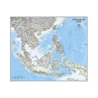
2013ref. 1-1597754447Natl Geographic Society Maps 2013. Map. New. lam map edition. 1 pages. 32.00x2.00x1.90 inches. Natl Geographic Society Maps unknown
ref. 0008445206.Gpaperback. Good. Access codes and supplements are not guaranteed with used items. May be an ex-library book. paperback
ref. 0008560579.Gpaperback. Good. Access codes and supplements are not guaranteed with used items. May be an ex-library book. paperback
1978No marks or inscriptions. Tiny creases to lower corners of covers. A very clean very tight booklet with slightly rubbed unmarked boards and no bumping to corners. 84pp. Well illustrated guide to the delights of South Wales.