12,235 results
1900ref. FG 2016-26International Geological Congress 1900. no dates but guessing early to mid 1900's - 21 Maps: 1.Route Map Hyattstown to Frederick MD plate 3 2.Route Map Frederick MD to Charles Town W VA plate 4 3. Geologic Map and Sections Area NE of Harpers Ferry W VA plate 5 4. Route Map Hagerstown MD to Cacapon Mountain W VA plate 6 5. Section along Route Hancock to Cumberland MD plate 10 6. Route Map and Sections New Creek W VA to Virginia State Line plate11 7. Route Map and Section W VA state line to Winchester VA plate 12 8. Route Map Winchester to Luray VA and Section across Shenandoah Valley and Massanutten Mountain Plate 13 9. Route Map and Sections Mount Jackson to Staunton VA plate 14 10. Route Map and Sections Staunton to Healing Springs VA plate 15 11. Route Map and Sections Helaing Springs to Lexington VA plate 16 12.Route Map Natural Bridge to Roanoke VA and Section through Read Mountain Fenster plate 18 13. Route Map and Sections Elliston to Glenlyn VA plate 19 14. Route Map Glenlyn to Lebanon VA plate 20 15. Route Map and Section Lebanon to Bristol VA plate 21 16. Route Map Bristol to Pennington Gap VA plate 22 17.Map and Section of Cumberland Overthrust Block plate 23 18. Route Map Cumberland Gap to Morristown TN plate 24 19. Generalized Map and Section of the Cherokee Mountain Klippe TN plate 25 20. Route Map Bristol VA to Mountain City TN and Section from Delaney Mountain to Mountain City plate 26 21. Map of Fenster in Overthrust Block of Rome Formation 3 Miles 4.8 Kilometers East of Wytheville VA Plate 27. Maps. Good. International Geological Congress Paperback
2013ref. 1-1597754447Natl Geographic Society Maps 2013. Map. New. lam map edition. 1 pages. 32.00x2.00x1.90 inches. Natl Geographic Society Maps unknown
ref. 0008445206.Gpaperback. Good. Access codes and supplements are not guaranteed with used items. May be an ex-library book. paperback
ref. 0008560579.Gpaperback. Good. Access codes and supplements are not guaranteed with used items. May be an ex-library book. paperback
1978No marks or inscriptions. Tiny creases to lower corners of covers. A very clean very tight booklet with slightly rubbed unmarked boards and no bumping to corners. 84pp. Well illustrated guide to the delights of South Wales.
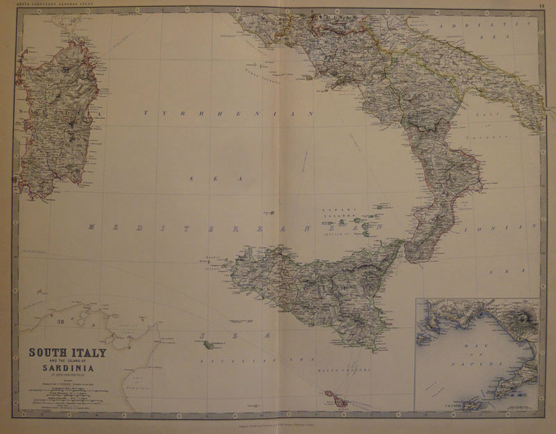
1884ref. LBW-501Edinburgh W. & A.K. Johnston 1884 450 x 573 mm.
ref. 0540087726.Gpaperback. Good. Access codes and supplements are not guaranteed with used items. May be an ex-library book. paperback
1999Light dusty marks to top page edges. No other marks or inscriptions. Very minor creasing to covers, none to spine. Clean bright boards with no bumping to corners. A lovely clean crisp tight copy. The contents appear to be 'as new' and never used. 168pp.
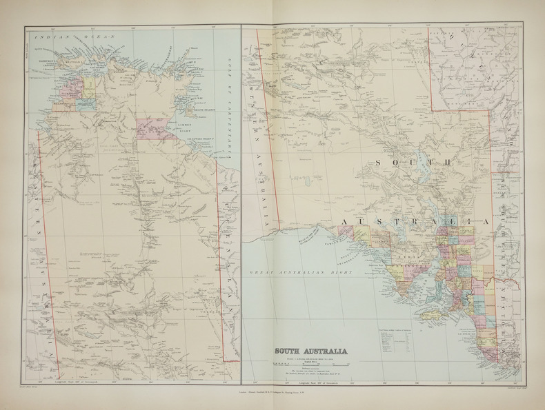
1896ref. LBW-2687London, Edward Stanford, [1896]. 482 x 659 mm.
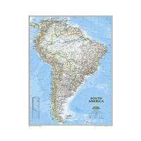
1960Supplement to National Geographic, February 1960. eng
2012ref. 1-0792250192Natl Geographic Society Maps 2012. Map. New. lam map edition. 1 pages. 25.00x2.00x1.20 inches. Natl Geographic Society Maps unknown
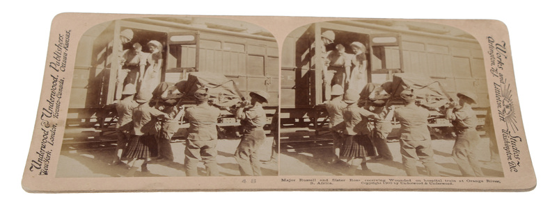
1900Washington, Underwood & Underwood, 1900 - 1901. 72 stereoscope card (177 x 90 mm) housed in the original book-like slipcase. Slipcase with wear. Cards fine and clean.
1900ref. 59848Washington, Underwood & Underwood, 1900 - 1901. 72 stereoscope card (177 x 90 mm) housed in the original book-like slipcase. Slipcase with wear. Cards fine and clean.
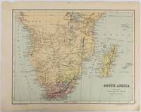
1877ref. 177228Edinburgh & London.: W. & A. K. Johnston. circa1877. Printed colour map 25 x 32.5 cm edge tears one affecting the lower border only two small chips from the upper margin corner repaired the map in very good condition. Map of North America with a small inset of the British Isles on the verso. Map of Southern Africa before the Scramble for Africa in the late 19th Century. . W. & A. K. Johnston. unknown
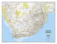
2014ref. 1-1597755893Natl Geographic Maps 2014. Map. New. lam map edition. 1 pages. 25.00x2.17x2.17 inches. Natl Geographic Maps unknown
ref. 4408Bouvet-Sourd, Toulon, n°243 de la série, N&B | Etat : Etat moyen (petite déchirure, sans manque) (Ref.: JCP23)
ref. 4406Carte non utilisée, N&B | Etat : Très bon état (Ref.: JCP21)
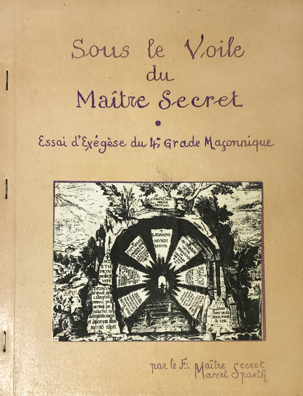
1960ref. 14763Rueil-Malmaison, Marcel Spaeth, s.d. (circa années 1960) ; in-4, broché agrafé sur le côté, polycopié de 53, (3) ff. de planches, couverture beige illustrée, titre indigo reproduction d'écriture, (1) f. de papier bleu en frontispice, nombreuses figures, texte recto.
ref. 053107Paris Flammarion 2008 in 12 (19,5x14,5) 1 volume reliure cartonnée illustrée de l'éditeur sous jaquette calque imprimée, non paginé, avec de nombreuses reproductions de cartes postales des Années folles de la collection Alexandre Dupouy. Très bel exemplaire ( Photographies sur demande / We can send pictures of this book on simple request )
1939ref. 2092902141000906Tokyo Mikuraku 1939. Soft Cover. Fine. The book is in fine condition. Tokyo Mikuraku paperback
1990No inscriptions or marks. No creasing to covers or to spine. A very clean very tight copy with bright unmarked boards, small scratch to front and no bumping to corners. 298pp. Images and description of 576 Lots of maps, natural history prints and paintings and travel and exploration paintings etc.
1948Feuille repli?e.
ref. ORD-1167Carte postale E.M. 1431. Vers 1905. Carte postale (140 x 91mm) timbrée sur le recto (timbre presque entièrement déchiré). Vue très anîmée des bâtiments avec une grande foule d'ouvriers. Bon exemplaire.
Madrid, Dirección General del Instituto Geográfico y Catastral, 1950. 2ª edición. Mapa publicado por sectores (sector 214). Escala 1:50.000. 56x76 cms. Mapa entelado y plegado. Buen ejemplar.
Madrid, 1860. Un mapa de 84 x 111 cm., plegado a 21 x 14 cm., coloreado, con planos particulares de Soria; Contornos de Soria; Ágreda; Medinaceli; Almazán, y Plano de Osma y El Burgo. Encuadernación original en cartoné y media tela.