Walthéry François:Livre Rare Book
12,070 results
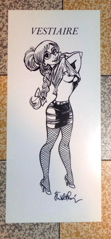
ref. 6245[Khani], sans date. Planche sur plastique, parfois annoncée comme "plaque de porte", au format 11 x 25 cm.
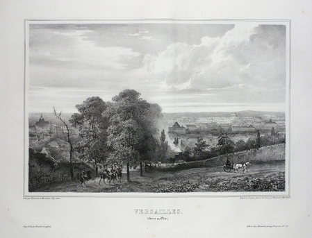
ref. LBW03d74Paris, Benard, [circa 1850]. 222 x 293 mm.
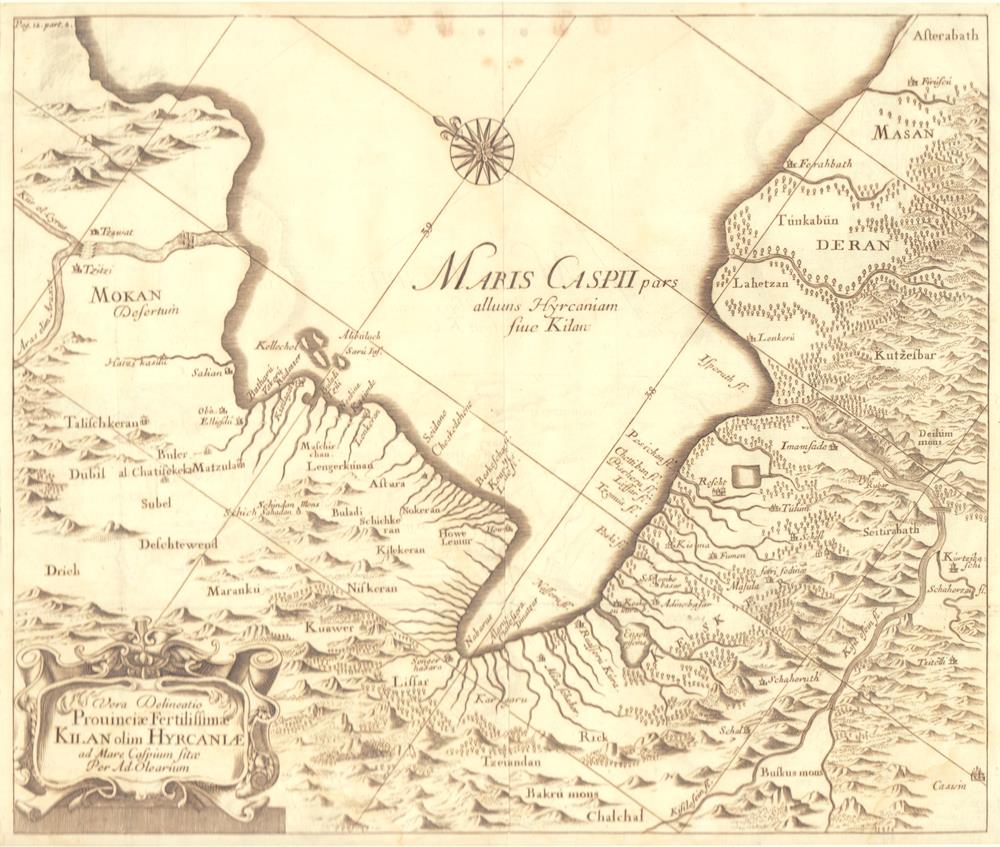
Format (Abb): 33 x 21 cm. Blattgröße ca. 40 x 26 cm. *Alt kolorierte Karte aus dem Atlas von Ortelius, rückseitig blank (ohne Text). - Veromanduorum (eine alte gallo-römische Siedlung), zeigt eine kleine Region rund um Saint-Quentin in Nordfrankreich nordöstlich von Paris. - Sehr gut erhalten. Landkarten de
1920ref. 88212Hamburg, L. Friederichsen, 1920. Mehrfach gefalt. farbiger Plan im Flachdruck, Maßstab 1:100.000. Kartenmaß 44 x 63 cm, Blattmaß 56 x 69,5 cm.
1850ref. KART0156Gotha, Justus Perthes (um 1850). Grenzkol. Kupferstichkarte, mit Längen- u. Breitegradangaben in Rahmenleiste, unterhalb des Kartenbildes eine Gefällekarte, Bildausschnitt 20,5x25,5 cm, Blattgröße: 25x34,5 cm, zahlr. kl. Randrisse und Knitterspuren im w. Rand, durchgeh. Mittelfaltung, ra
1849Kjöbenhavn, Chr. Steen & Søn, (1849-61). Titelbladet uden år. Stor folio. Samt. hldrbd. Forperm med orig. bogtrykt omslag påsat. Udvendig noget slidt og med brugsspor. Litograferet titelblad med trykt indholdsfortegnelse over atlassets 20 dobbeltsidede foliokort, alle litograferede og håndkoloreret (hvert målende ca 52x64 cm). Her og der med lidt brunpletter, særligt marginer, men indvendigt iøvrigt i god stand. Kortene er litograferede hos Emil Bærentzen & Co. Lith. Institut og alle daterede mellem 1849 og 1861, opsat på false.
ref. SLIVCN-9830096004504PASSE-TEMPS EDITIONS
ref. SLIVCN-9830096004511PASSE-TEMPS EDITIONS
ref. SLIVCN-3760361290454KEROZENN
ref. SLIVCN-3760361290508KEROZENN
ref. SLIVCN-3760361290461KEROZENN
ref. SLIVCN-3760361290478KEROZENN
ref. SLIVCN-3760361290515KEROZENN
ref. SLIVCN-3760361290911KEROZENN
ref. SLIVCN-3760361290522KEROZENN
1659ref. 78800O. O. (Paris), (Jean Dupuis), ( 1659). Kupferstich. Darstellung ca. 28 x 33 cm, Blattmaß 31 x 42 cm. Feinkartonpassepartout.
1920ref. 040036New York: Houghton Mifflin. 1920 Book. Very Good . Cloth. 1st US Edition. Greek and Balkan politicsWorld War I and the various contributions of Eleftherios Venizelos up to the Peace Conference at Versailles and the Greek claims in Asia Minor.Foldout coloured ethnographical map of "Turkey in-Europe" 384p. illus platesmaps index. Crispclean tight text.Spine a little faded and scuffed else fine. Only later copies of this US edition found in in WorldCat . Houghton Mifflin. hardcover
1920Greek and Balkan politics,World War I and the various contributions of Eleftherios Venizelos, up to the Peace Conference at Versailles and the Greek claims in Asia Minor.Foldout coloured ethnographical map of "Turkey in-Europe") 384p., illus plates,maps index. Crisp,clean tight text.Spine a little faded and scuffed, else fine. [Only later copies of this US edition found in in WorldCat ] Book
ref. 1841390240.Gmap. Good. Access codes and supplements are not guaranteed with used items. May be an ex-library book. unknown
ref. 1597750891.Gmap. Good. Access codes and supplements are not guaranteed with used items. May be an ex-library book. unknown
1945Label removal mark inside rear board. No other marks or inscriptions to contents. No creasing to covers or to spine. Clean tight pages with dusty marked boards and page edges, sunned spine and bumping to front corners. 72pp. A history and description of Venice and its buildings with forty-eight black and white photographic plates.
ref. 0921463596.Gmap. Good. Access codes and supplements are not guaranteed with used items. May be an ex-library book. unknown
ref. BN92838Veiatlas Norge: Veikart = road maps = Strassenkarten 1:300 000 : bykart = city maps = Stadtplane 1:20 000 Norwegian Edition Unknown Binding Veiatlas Norge: Veikart = road maps = Strassenkarten 1:300 000 : bykart = city maps = Stadtplane 1:20 000 Norwegian Edition Unknown Binding Veiatlas Norge: Veikart = road maps = Strassenkarten 1:300 000 : bykart = city maps = Stadtplane 1:20 000 Norwegian Edition Unknown Binding unknown