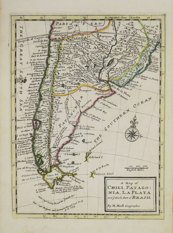
MOLL (Herman).Livre Rare Book
12,067 results
1736ref. LBW-3519[Londres], Thomas and John Bowles, [circa 1736]. 276 x 206 mm.
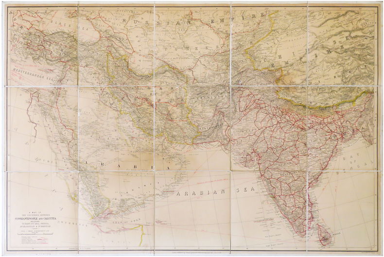
1912ref. LBW-6838London, Edward Stanford, 1912. En 15 sections montées sur toile et pliées, formant une carte de 0,68 x 1,02 m.
1987A clean, unmarked book with a tight binding. Bluecover with pasted-down illustration. 9"w x 7 3/4"h. 256 pages.
1912ref. 30210HBDJ STATED 1ST PUBLISHED THIS EDITION 1912 SMALL PURPLE EMBOSSED CLOTH CVRLITE RUB WEAR VG/VG AS-IS BACK OF DJ MENTIONS OVER 960 VOLUMES ENDS WITH ZOLA 226 PGS INDEX LIST OF TITLES OUTER SPINE CVR HAS SMALL NICK DEALS WITH COUNTRIES OF ASIA WHOSE HISTORY & GEOGRAPHY ARE ALIKE RELECTED IN MAPS. & CHARTS THAT FOLLOW Philipine Islands JAVA EAST INDIES AUSTRALIA MADRAS CEYLON SIBERIA KOREA MANCHURIA JAPAN SINGAPORE FAR EAST ETC J. M.DENT EVERYMAN’S LIBRARY LONDON hardcover
1951ref. 2310070160xbvkJenkintown, Tall Tree Library (#23), 1951. (4) 51 (1) pages, 19 plates with fullpage map-prints; ca. 40 blank sheets - as published - apparently for additional entries. - Publisher's gilt-titled red cloth; 4to.(ca. 31 x 23 x 2 cm; ca. 1,5 kg.).
1942ref. 1372836Princeton: Princeton University Press 1942. Second Printing. Hardcover. Octavo x 291 pages. In Very Good minus condition. Spine is gray with a black box and gilt lettering. Boards have minor shelf wear and a library identification sticker on the spine. Text block has pen writing on the front end page and minor foxing on some pages. Ex-Library. 1372836. Special Collections - Downstairs. Princeton University Press hardcover books
1942ref. 1372836Princeton: Princeton University Press 1942. Second Printing. Hardcover. Octavo x 291 pages. In Very Good minus condition. Spine is gray with a black box and gilt lettering. Boards have minor shelf wear and a library identification sticker on the spine. Text block has pen writing on the front end page and minor foxing on some pages. Ex-Library. 1372836. Special Collections - Downstairs. Princeton University Press hardcover
1976ref. 1239491976 Editions Corvina, série "HEREDITAS" - 1976 - In-8, couverture illustrée à rabats - 121 pages + planches en N&B - Nombreuses illustrations en N&B, in et hors-texte, dans l'ouvrage
2002ref. 32219Libreville Editions du Luto 2002 petite atteinte aux coins inférieurs sans gravité , cartonnage éditeur
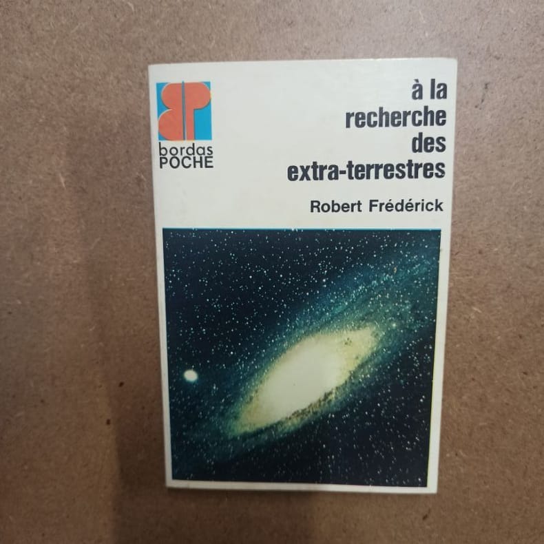
1973ref. 5611973 - broché - Editions Bordas - Collection Bordas Poche, N° 3 - 1973 - In-12 (16,5 x 11 cm) broché - 126 pages - Illustrations et photographies principalement en noir et blanc
1950ref. LBW-8425Londres, British Travel Association, [circa 1950]. 101,2 x 63,7 cm.
2016New New English Original bdg. Dust wrapper. In publisher's special box. 4to. (1934, [4] p.), color and b/w ills. A journey through maps from the Ottoman world to the Republic of Turkey. From Constantinople to Istanbul between the 15th and the 20th centuries. The cartographic collection of Erhan Öner. 4 volumes set. A project of passion and patience: For four decades Erhan Öner has been painstakingly collecting maps of Turkey, assembling a cartographic collection that is now one of the largest and most comprehensive of the area. His maps range in date from the 15th century, the early days of the Ottoman Empire, through to the 20th century and the early days of the Republic, and encompass historical, military, marine and archaeological maps, and even postcards with maps on them. Examples by the renowned cartographers Abraham Ortelius, Gerardus Mercator, Jodocus Hondius, Homann Heirs, Freres Lotter, Visscher Family, Sanson Family, John Speed and Frederick de Wit are among the highlights. A project of passion and patience, Öner's collection is finally being published in a four-volume catalogue. Displaying as many as 1,500 maps on 2,000 pages, it will be an important reference work for academics, researchers and fellow collectors. At the same time it is a visual feast, with beautiful illustrations, engravings and vignettes. Contents: Vol. 1: HISTORICAL MAPS OF TURKEY. 15th - 16th Centuries, 17th Century, 18th Century, 19th Century, 20th Century. TURKEY IN EUROPE. Vol. 2: REGIONAL MAPS. Black Sea, Thrace, Sea of Marmara Dardanelles, Aegean Archipelago. Mediterranean Sea, Central, Eastern and South East of Turkey,Middle East, Serial. OTTOMAN VILAYETS AND SANCAKS Postcard Maps, Yumni Maps. Other Vilayet Maps PORT PLANS. RAILWAYS. RELIGION RELATED MAPS, THE RETREAT OF THE TEN THOUSAND MAPS. GEOLOGICAL MAPS. POSTCARD MAPS. CLIPPINGS. Vol. 3: MILITARY MAPS. War and Peace Maps and Plans Maps of Erkan-¿ Harbiye. Harita Umum Müdürlügü, Milli Müdâfaa Vekâleti. Harita Genel Müdürlügü, Harita Genel Direktörlügü Maps of War Office & Ordnance Survey Office, Henri & Richard Kiepert Maps. ATLASES. Vol. 4: ISTANBUL NECIP BEY MAPS OF ISTANBUL: Societe Anonyme, Ottomane d'etudes et d'entreprises Urbanies. KESFlYÂT VE ¿NSAAT TÜRK ANON¿M S¿RKETl, TURKISH SURVEY AND CONSTRUCTION COMPANY UNFINISHED MAP OF ¿STANBUL, INSURANCE PLANS OF ISTANBUL. ARCHEOLOGICAL MAPS. OTHER CITIES. INFORMATION ABOUT CARTOGRAPHERS. ENGRAVERS AND BOOK PUBLISHERS.
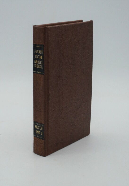
1821ref. PHO-1025London: Longman, Hurst. 1821. in-8 ,XI + 320 pp. ,illustré avec 2 cartes (1 facsimilé)et 5 gravures in texte , relié pleine percale , dos lisse avec pièce de titre et auteur et date ,rousseurs sur le titre
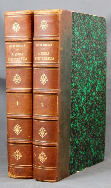
1886ref. 2149Lisboa, Imprensa Nacional, 1886. 2 vol. in-8 de XXVII-281 + XII-313-[2] pages, demi-basane marron, dos à nerfs orné de filet et fleurons dorés. Dos passés, quelques griffures aux dos, coiffes épiderméess rousseurs.
1985324 pages. Index. Bibliography. Black and white illustrations. Author's signature upon front free endpaper. "Traces the development of the town of Pointe Claire from its beginnings as a stretch of lonely farms to its present as a major municipality. Covers three hundred years of Canadian history as it affected the people of the West Island community. Old maps, photos and the words of contemporary observers take the reader into a past where the pioneer farmers struggled to defeat Indians, the land, the climate and foreign invaders... This is the only complete history of the town." - from dust jacket. Gift greetings atop title page else book clean, bright and unmarked with negligible wear. Very light wear to dust jacket which has touches of yellowing to flaps, and is now preserved in a glossy new Brodart cover. A premium copy. Book
19588vo., First Edition, with 30 plates on 16 and 15 maps in the text; green cloth, gilt back, a very good, bright, clean copy in unclipped dustwrapper, the latter lightly frayed at extremities. Bennett p.184.
1999Book is in excellent condition. Binding is solid and square, covers have sharp corners, exterior shows no blemishes, text/interior is clean and free of marking of any kind. 346 pages with b&w illustrations on nearly every page: elevations, floorplans, b&w photos, exteriors, interiors, design drawings, landscapes, maps, facades, etc.
ref. Cri10Andre Deutsch 1990. Hbk 571pp illustr bw photos maps an unread copy excellent clean tight unmarked in fine unclipped and sleeve-protected dj as new Andre Deutsch, 1990 unknown
1949ref. 1807230045Kegan Paul Trench Trubner 1949-01-01. Hardcover. Good. 3 volume set. Bound in publisher's green cloth with gilt lettering. Very good bindings and covers. Spines slightly sunned. viii 667 viii 743 xvi 823 pp index many color folding maps. Light foxing. Contents: Vol. 1. From the origins to the arrival of the Portuguese in 1542 A.D.; Vol. 2. During the century of early foreign intercourse 1542-1651; Vol. 3. Tokugawa epoch 1652-1868. Vol. 1-2 3rd impression. Vol. 3 1st impression. Vol. 3 revised and edited by Joseph H. Longford. At Longford's death the work was transferred to L.M.C. Hall. Maps by Isoh Yamagata. First published in 1903 Murdoch's work quickly became an important reference in Japanese history. This is an oversized or heavy book which requires additional postage for international delivery outside the US. Kegan Paul, Trench, Trubner hardcover
1926ref. 1808090055Kegan Paul Trench Trubner 1926. Hardcover. Very Good. 3 volume set. Bound in publisher's green cloth with gilt lettering. Very good bindings and covers. viii 667 viii 743 xvi 823 pp index many color folding maps. Light foxing. Contents: Vol. 1. From the origins to the arrival of the Portuguese in 1542 A.D.; Vol. 2. During the century of early foreign intercourse 1542-1651; Vol. 3. Tokugawa epoch 1652-1868. Vol. 3 revised and edited by Joseph H. Longford. At Longford's death the work was transferred to L.M.C. Hall. Maps by Isoh Yamagata. First published in 1903 Murdoch's work quickly became an important reference in Japanese history. This is an oversized or heavy book which requires additional postage for international delivery outside the US. Kegan Paul, Trench, Trubner hardcover
1953Folded map. No marks or inscriptions. No creasing to covers. A very clean very tight copy, bright unmarked, not torn and no bumping to corners. 1pp. Some 450 historic buildings, including 228 churches, are illustrated on the map from sketches and with Heraldic Emblems. On the reverse side is a comprehensive guide arranged alphabetically to the places of interest in towns and villages from Abney to Youlgreave. The map covers parts of Yorkshire West Riding, Cheshire, Staffordshire, Derbyshire and Nottinghamshire. Both map sides are held open to photograph with laid-on metal supports.
ref. 1334401764.Gpaperback. Good. Access codes and supplements are not guaranteed with used items. May be an ex-library book. paperback
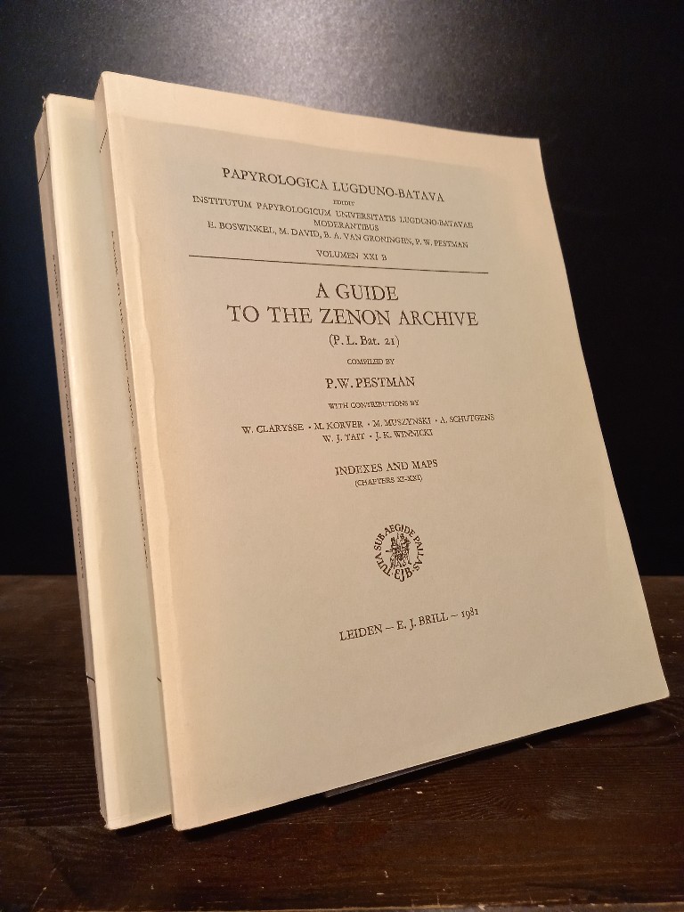
1981ref. 2140746Leiden: E. J. Brill 1981. XX, 466; 467-748 Seiten. With two maps. 4° (28 x 22 cm) Orig.-Broschuren. [Softcover / Paperback].
1968cm. 12,5 x 17,5, viii-142 pp. con 36 ill. e 1 carta geografica. Pocket Library of Studies in Art Inglese 189 gr. viii-142 p.
1993Trace of foxing to front edge. No inscriptions or marks. A very clean very tight copy with unmarked black cloth boards and no bumping to corners. Dust jacket not price clipped or torn with slight creasing to upper edge and traces of shelf wear. 244pp. Written very soon after German re-unification, this authoritative guide comprehensively describes the superb cities and towns, the exquisite countryside and the charming villages which had suddenly been re-opened to the rest of the world after being shut away for so long.