12,067 results
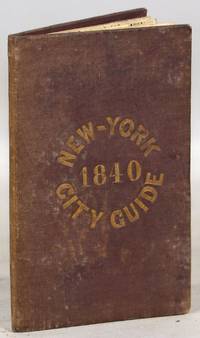
1840ref. 000014171New York: Tanner & Disturnell 1840. Later edition. Hardcover. Very Good. 64mo. 13 cm x 8 cm. 3 4-15 1 pp. Brown cloth with gold lettering on the front board. Yellow coated rear endpaper and rear pastedown. Illustrated with a frontispiece and with a folding map in the rear of the volume. The folding map in the rear of the volume is hand-colored. Its title is "New Map of the City of New-York with part of Brooklyn & Williamsburg". By J. Calvin Smith. Engraved on steel by Stiles Sherman & Smith. The folding map is dated 1840. Phillips 532. Guide books similar to this one were published as early as 1836. OCLC locates a few examples of this exact edition. With a list of wards streets and information on how to get around the city. A fascinating look at early nineteenth-century New York City. Light soiling to the cloth. Lacks the yellow free front endpaper and front pastedown. The folding map with one piece neatly detached but laid in the whole map is present. Tanner & Disturnell hardcover
1935ref. 036820Los Angeles California: Title Guarantee And Trust / Title Insurance And Trust 1935 1936 1937 1938 1942 1946 1949 1951 1956 1957 1959 1961 1935. First Edition 1st Printing. Soft cover. Very Good/No Dust Jacket. 9 1/4" High. A Group Of 30 Different Booklets Including 19 Different First Printings 1935-1961 One With Second Issue Tipped In Slip 8Th Printing Of Old Spanish And Mexican Ranchos Of Orange County Six Are First Printings Of Later Revisions There Were Many Minor Revisions Usually Each Time They Were Re-Issued. Several Have Notations On Covers That They Were Gifts To Dr. George Hill Hastings From Arthur Mordan President Of Title Guaranty Who Employed Robinson. The Beverly Hills Book Has A Presentation Inscription From Mordan To Hastings The Island Of Santa Catalina Has A Long Notation By Hastings That It Was A Gift From Robinson Upon The Death Of Mordan A Dear Friend; Signed H. H. All Very Good To Near Fine Except Culver City Which Has Wear And Some Damp Spotting Centered On Spine And Extending Inwards Up To 1/4"; And The Forest And The People Is Only Good Worn And Some Small Light Water Spots. Title Guarantee And Trust / Title Insurance And Trust 1935 1936 1937 1938 1942 1946 1949 1951 1956 1957 1959 1961 paperback
1828348 p. Folding colored map of Massachusetts. The map could use some minor repairs at folds, etc. 12mo. Contemporary full leather binding. American Imprints 35374; Howes S-839; Sabin 89563. Atlas Case. QUITE SCARCE. **PRICE JUST REDUCED!
4 albumen prints, 190 x 725 mm and 205 x 270 mm, all mounted on contemporary paper (285 x 40 mm) with manuscript titles in French. "Hong-Kong / Panorama général": a fine, large-scale panorama embracing all of Victoria, the capital of Hong Kong, from the perspective of the harbour. The scene is centred upon the concentration of major buildings along the grand quayside of the Praya, including the City Hall, the Hongkong & Shanghai Bank Building and the Hong Kong Hotel, the six-story building featured in the centre-right of the panorama. Notably, the hotel seems to still be in a partially-completed state, as construction of the edifice was not completed until 1892, a detail which helps to date the photograph. Numerous boats can be seen plying the harbour in the foreground, evidence that Hong Kong was one of Asia's busiest ports. Victoria Peak rises above the city, and the thin white line shown ascending the mountain, above City Hall, is the famous Peak Tram. This funicular railway was completed in 1888. - "Hong-Kong / La Rade prise de Bowen Road": an engaging view looking down upon Hong Kong harbour from the perspective of Bowen Road. The line of the celebrated Peak Tram, completed in 1888, is shown running up the slope of Victoria Peak, while numerous ships ply the harbour in the background. Bowen Road was named after George Ferguson Bowen, who served as the 9th Governor of Hong Kong from 1883 to 1885. - "Hong - Kong / Anniversaire de la naissance de la Reine": this fascinating view captures the pageantry of the celebration of the birthday of Queen Victoria. Spectators are shown observing vast lines of troops as they fire an armed salute in honour of Her Majesty, while tall ships decorated with banners are moored in the harbor, in the foreground. Queen Victoria (reigned 1837-1901) personified the British Empire, and her birthday (May 24th) was celebrated annually throughout Britain's colonial possessions. Another example of the same photograph, entitled in manuscript, "Queen's Birthday Parade Hong Kong," can be found in the collections of the Herbert F. Johnson Museum of Art at Cornell University, Ithaca, NY (accession no. 86.140.310). - "Hong-Kong / Une Rue dans la ville Chinoise": this photograph captures an interesting street scene in Hong Kong's traditional "Chinatown", otherwise known as the Wan Chai District, located to the east of Victoria. While Victoria had a more "anglicized" appearance, befitting the centre of British colonial administration, Chinese modes of building construction, signage and ways of life prevailed in Wan Chai.
1967ref. 2090502113703439Not Available 1967. Soft Cover. Fine. The book is in fine condition. Not Available paperback
1949184 pages, illustrated, page edges browned, covers detached, spine faded, (Penguin Reference Books ; R2). eng
1802pp. v, (4), 226, (2) + Plus engraved Frontis, Plates of scenes and large folding maps and charts. One map includes the sketch of soils, canals, etc of Lancashire. LACKS full page plate of Furness Abbey. View of Keswick Lake repeated on page 107 and 125. View of Bassenthwaite omitted. Two pages have old tape repairs with no loss. Map of the districts has small tape repair on one fold. Offsetting from Frontis on title page. Age stained and foxed. Engraved amoral bookplate of William Scott Elliot of Arkleton. 8vo. 215 mm. Original full leather binding. Boards detached. Small loss on spine. Binding worn. Hardbound. A rather poor copy of a great book. SCARCE. **PRICE JUST REDUCED! TRAVEL/7
1954vi, 20 pages with two maps in pocket at back. Geological Survey of Canada Bulletin 30 (Thirty). Bit of writing and two faint stamps on front cover. Average wear. Binding intact. A sound copy. Book
1871pp. viii, 334, (2) [Publisher's catalogue] + Five color maps. Numerous text drawings and maps. Slightly age stained. Anna Herdon's copy. Front fly leaf torn with loss. 12mo. Original leather spine over cloth covered boards. Spine lettered in gold and embossed with figure of Phoenix raising. Front board portrait of Washington. Cloth boards faded, stained and worn. Extremities worn with some loss. Hardbound. PA71 FRONT
1906506 pages. Lovely vintage geography textbook authorized for use in the public schools of Manitoba. Many black and white photos plus lovely fold-out, double-hinged colour maps of Canadian provinces, regions of the U.S., and other areas of the world. Front free endpaper removed. Somewhat above-average wear. Binding somewhat shaken but still intact. The vintage illustrations make this volume a treat to peruse. Book
1924Roy. 8vo., with a large folding ley; boards, cloth back, covers somewhat age-marked but internally a very good, clean copy of a scarce work. THE SIGNET LIBRARY COPY, with its ownership inscriptions on cover and paste-down. The catalogue, which is well classified by subject, contains over 80,000 items of which some 200 are pamphlets
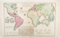
1835ref. 203763Philadelphia.: W. Marshall. Circa1835. Handcoloured engraved map 26.5 x 41.3 cms; 29.6 x 48.3 cms sheet central fold insets of "Oceanica" and "New Holland" central table some light staining in the image and margins in good condition. Eurocentrism laid bare. This 19th Century map includes a "State of Society" for each part of the world declared with a symbol to represent "Barbarous Half Civilized Civilized and Enlightened Societies" as well as noting religion and ethnicity. It includes a table of distances between chief towns or capitals and between these towns and Washington DC. Australia "New Holland" is styled principally as pagan barbarous unexplored and African a thin sliver of what is now New South Wales and Victoria is labelled civilized European and Protestant. Scarce. . (W. Marshall). unknown
1929498 pages. Numerous sketch maps, diagrams and illustrations. Includes supplementary chapter on British Columbia. Authorized for use in the schools of British Columbia, Manitoba, Nova Scotia, Quebec and Saskatchewan. Boards covered by dark green leatherette. Hinges going. Above-average but not excessive wear. Book
1775ref. LBW-643[1775-1781]. 662 x 481 mm.
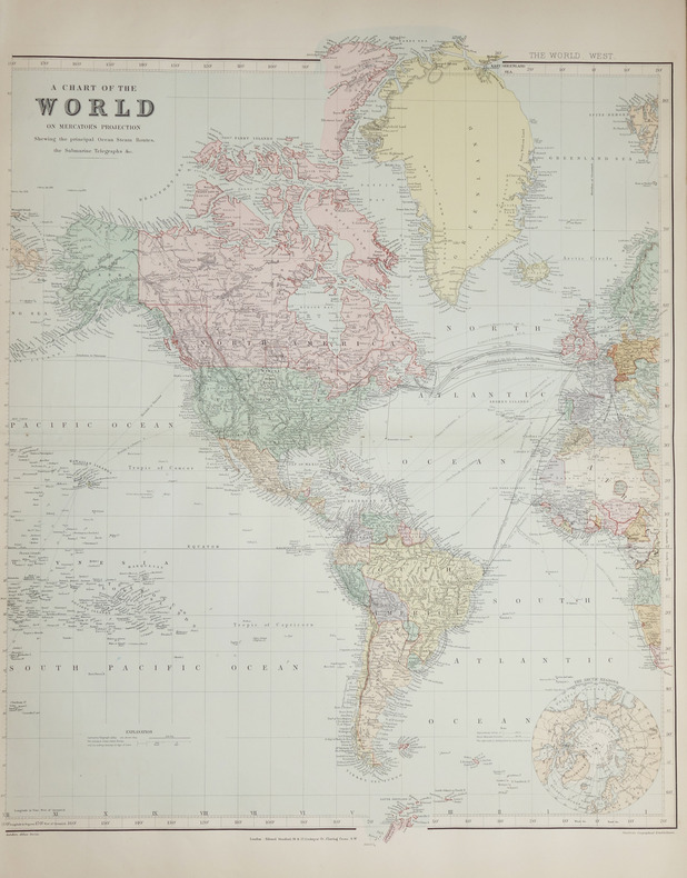
1896ref. LBW-2686London, Edward Stanford, [1896]. En deux feuilles non jointes pouvant former une carte de 0,66 x 1,07 m.
1986ref. 2083002116201994Tokyo Maps Tony Buzan Translated by Tetsu Sato 1986. Soft Cover. Fine. The book is in fine condition. Tokyo Maps Tony Buzan Translated by Tetsu Sato paperback
1979183 pages. From a tug in Halifax Harbour to a destroyer in Norwegian fiords, from the balmy Caribbean to the frozen reaches of Murmansk, Hal Lawrence spins an engaging personal account of a young man growing up at sea. Author commemorates with genuine affection the dedicated men with whom he served and the fighting navy which shaped them. Includes numerous interesting black and white photographic plates. Endpapers decorated with maps. Book clean and unmarked with light wear. Average wear to dust jacket. Very nice copy. Book
ref. 04230304.23A2Hardcover. Good. 1971 Printing containing Eby Snyder and Weber. Map in back pocket. Bound in brown leatherette with embossed image on front board. Corners of boards and spine rubbed. Binding intact. Name on front end page; text is no longer bright but appears clean and unmarked otherwise. hardcover
1984ref. 057032Eldon D. Weber 1984. Book. Near Fine. Hardcover. First Thus. 4to - over 9¾" - 12" tall. Brown leatherette lettered in gold foil. 3rd ptg. 1984 of facsimile reprint edition. Slightly soiled covers nearly as issued. Main text dates to 1895-96 Eby with 1931 supplement by Snyder every-name index and geographical index by Weber. Map in rear pocket as called for. Eldon D. Weber Hardcover
1914ref. 121191Milan Direction du mouvement futuriste 1914 1 vol. broché Tract futuriste daté du 11 janvier 1914 et rédigé en français par Marinetti pour "foncer tout droit dans l'imbécillité de la mode et détourner le courant moutonnier du snobisme". Etat moyen avec déchirure au pli central sur 14 cm et petits manques marginaux.
1914ref. 121191Milan Direction du mouvement futuriste 1914 1 vol. broché Tract futuriste daté du 11 janvier 1914 et rédigé en français par Marinetti pour "foncer tout droit dans l'imbécillité de la mode et détourner le courant moutonnier du snobisme". Etat moyen avec déchirure au pli central sur 14 cm et petits manques marginaux.
ref. 0008496331.Gpaperback. Good. Access codes and supplements are not guaranteed with used items. May be an ex-library book. paperback
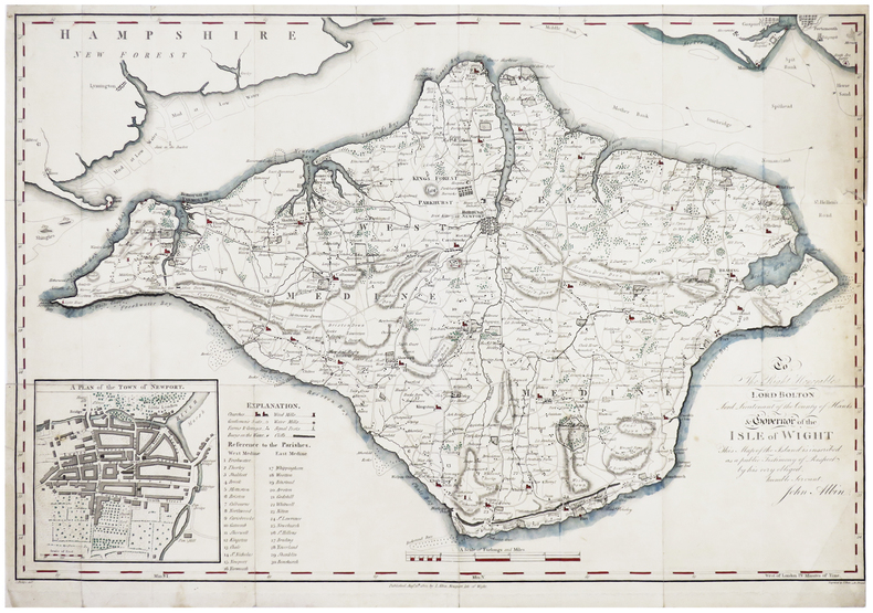
1802ref. LBW-6386Newport, Isle of Wight, J. Albin, 1802. 393 x 584 mm.
1700ref. LBW-5518Amsterdam, [circa 1700]. 225 x 261 mm.
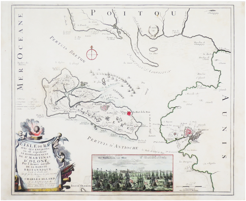
1700ref. LBW-7612Amsterdam, chez l'auteur, et chez Covens & Mortier, [circa 1700]. 496 x 579 mm.