ORTELIO, ABRAMO.MareMagnum

6 024 résultats
Anversa, 1590 circa. Dal “Theatrum Orbis Terrarum”, incisione in rame, colore d'epoca, cm 33 x 43 (alla lastra) più margini, testo francese al verso, in alto a sn. titolo entro cartiglio a volute geometriche. La carta deriva da quella pubblicata da Natale Bonifacio nel 1587 (in bs. sulla sn., in piccolo riquadro, “Natalis Bonifacius... describeb.”). Il "Theatrum Orbis Terrarum" è stato il primo atlante moderno, comprendente carte di tutte le zone del mondo. Prima di allora la produzione cartografica era stata irregolare, locale a livello di produzione, e i pochi atlanti, i cosiddetti "Atlanti Lafreriani" erano costituiti su richiesta, raccogliendo carte di alcune zone e ignorando le altre. La geniale intuizione di Ortelio fu appunto quella di riunire, in un unico corpus, la produzione cartografica del periodo, costituendo la base per un'impresa editoriale di enorme successo che sarebbe stata pubblicata dal 1570 al 1612. Esemplare uniformemente brunito e con difetti marginali, stretti margini, bella la coloritura. .
1760Incisione su rame all'acquaforte e bulino in due fogli incollati di mm 572 x 482. Bella vergata veneziana. Filigrana AS. Foglio a larghi margini in candida e spessa carta di filo veneziana. Titolo entro ricco cartiglio in alto a destra. Elenco delle province antiche. Toponimi e descrizioni geografiche nella mappa. Proveniente da: "Atlas universel dressé sur les meilleures cartes modernes", Venezia 1776 (ma 1760). Gli Atlanti stampati da Francesco Santini, che, come indicato spesso nelle carte, teneva bottega a Santa Giustina, nel Sestiere di Castello, riutilizzano le lastre incise da Lattrè e disegnate da Janvier per l' "Atlas Moderne" stampato a Parigi nel 1771. L'Atlante di Janvier ebbe un immediato apprezzamento, sia per la precisione geografica, che per i ricchi cartigli molto decorativi. Robert (Jean) Janvier: working in Paris in the second half of the eighteenth century, Jean Janvier (1746 – 1776) produced a series of maps in the later half of the century. While there is some confusion about his Christian name, his maps usually were inscribed “Le Sieur Janvier”. He is best known for his collaboration with engraver Jean Lattre for an Atlas Moderne first released in 1762 and in several later editions some by C. F. Delamarche and by Chez Remondini. He also produced several maps used in general atlases by William Fadan and P. Santini.
1779SANTINI PAOLO Lotto di 2 mappe: ROYAUME DE NAPLES. Venezia, Remondini 1779, Lotto di due mappe comprendenti:- partie septentrionale du Royaume de Naples.- partie meridionale du Royaume de Naples, où se trouvent la Calabre et l'Isle et Royaume de Sicile.Dall' "Atlas Universel" stampato a Venezia nel 1776 e nel 1784. Buono (Good) Buon es.. acquaforte acquerellata a mano cm. 60,7 x 49 (inciso)
1789. Incisione in rame, confini in colore d’epoca, cm 47 x 62 (alla lastra). Carta della Dalmazia con le sue coste; in un piccolo riquadro, in basso a ds., è segnalato il golfo di Venezia che tocca la costa dalmata del Montenegro con le sue Bocche di Càttaro (una serie di insenature costituite da ampi valloni fra loro collegati che si inseriscono profondamente nell’entroterra). Buona conservazione.
1910Service Géographique se l'Armée, vers 1910. Ensemble de 60 cartes d'Etat Major entoilées et pliées en couleurs, la plupart au format 42 x 67 cms, quelques unes un peu plus petites et d'autres un peu plus grandes, toutes à l'échelle 1/200 000e. Toutes portes une étiquette manuscrite de localisation, certaines le tampon du Général Bouyssou (122e Rgt / Rodez). Chateauroux, Rennes, Vesoul, Vannes, Les Sables d'Olonne, Rouen, Poitiers, Le Puy, Amiens, Cherbourg, Tours, Nice, Orléans, Nantes, Nancy, Mulhouse, Moulins, Dijon, Annecy (2), Angoulême, Abbeville, Grand Saint Bernard, Brest, Berne, Lannion, Grenoble, Besonçon, Boulogne, Montpellier, Montauban, Méziéres (2), Limoges, Lorient, Aurillac, Dunkerque, Autun, Bressuire - La Roche sur Yon, Bourges, Chartres, Angers, Bergerac, Marseille-Antibes, La Rochelle-Niort, Chalons, Troyes, Saverne, Strasbourg, Laval, Lyon, Macon, Metz, Melun, Avignon, Carcassonne, Les Pieux-Guernesey, Caen, Tignes. Ensemble en bon état, seules deux cartes présentent une épidermure sans grande gravité. Ces cartes étaient remises aux Officiers lors de la mobilisation. Bel ensemble
1785Incisione all'acquaforte di mm 420 x 323 alla battuta su carta vergata veneziana tre lune, filigrana "GF" in perfetta coloritura d'epoca. Esemplare privo di alcun difetto, fresco, candido e a larghi margini. Proviene dal celebre Atlante stampato da Zatta a Venezia nel 1785 dal titolo : "Atlante novissimo, illustrato ed accresciuto sulle osservazioni e scoperte fatte di piu celebri e piu recenti geografi".
Incisione calcografica di mm 655 x 485 su carta vergatina settecentesca in perfetta coloritura d'epoca. Foglio a grandi margini privo di alcun rilevante difetto. Il foglio proviene dall' "Atlante Novissimo", l'ultima grande fatica della tradizione cartografica veneta, e si riferisce alle ultime fasi della Guerra di Successione Austriaca.
Tratta dall'atlante "Atlante geografico, fisico - storico, corografico dell'Italia", Firenze, 1842 - 1845. Disegnata da G. Pozzi e incisa da V. Maina e da G. Stanghi, incisione in rame ripiegata a doppia pagina, b/n (confini in colore d'epoca), cm 60,5 x 75,5 (alla lastra) più margini bianchi. La carta appartiene al Regno delle due Sicilie. Nella carta sono presenti il gruppo delle Isole Eolie e delle Lipari, Pantelleria, Malta e Gozo (in riquadro); entro riquadro, il prospetto delle “Divisioni Politiche della Sicilia”. Esemplare a pieni margini in assai buono stato di conservazione.
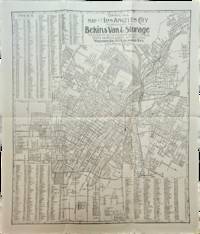
1910réf. List3117Los Angeles California: Bekins Van & Storage 1910. Map measuring 15 ¼ x 13 ¼ inches. Folded with some wrinkling; Near Fine. A map of Los Angeles between Aldama Street South Indiana Street Slauson Ave and Arlington Street published by Bekins Van & Storage. The map is undated but based on the city's population listed on the map-a mere 125000-it was created some time between 1900 when the population was about 103000 and 1910 when it had ballooned to over 319000. Bekins Van & Storage unknown
1910réf. List3117Los Angeles California: Bekins Van & Storage 1910. Map measuring 15 ¼ x 13 ¼ inches. Folded with some wrinkling; Near Fine. A map of Los Angeles between Aldama Street South Indiana Street Slauson Ave and Arlington Street published by Bekins Van & Storage. The map is undated but based on the city's population listed on the map-a mere 125000-it was created some time between 1900 when the population was about 103000 and 1910 when it had ballooned to over 319000. Bekins Van & Storage unknown books
19943 voll. in 4', seta ed., cofanetto, seconda edizione, due volumi , pp. 534 di testi in italiano e inglese, +595 di tavole di cui alcune ripiegate, e una cartella contenente indice toponomastico a cura di Claudio Franzoni e 40 fascicoli.Fioriture all'interno del cofanetto, lievi segni all'esterno, volumi in ottimo stato, trascurabili segni del tempo, conservata all'interno lentina di ingrandimento editoriale.
1910Very Good German 9 original silver photographs; 6 with original cardboards, 3 on paper with their descriptive texts. Cardboards: 26x18 cm, photos: 13x9 cm. Title on cardboard and descriptions are in German. Cannot find any information about W. Dörflein. Photographs: Photo on titled cardboard (written "Reisebilder aus den Türkei" is a view from Aegean shores through the trees.; A view from Milet ruined city, can be seen mosque, village.; "Abstieg nach Tomatje" (i.e. Descent to tomatoes), can be seen a garden of tomatoes and butler of German traveler with his pony.; Ioran, Apollotempel von limps vorne (i.e. Ioran, Apollo temple of limps in front): Can be seen Apollon Temple.; Villa gegenüber der Insel Samos (Villa opposite the island of Samos).; Apollotempel zu Ioran (Apollon Temple in Ioran).; Last three photos glued on paper have descriptive autograph texts in German by Dörflein: "Kruppsches Feldgeschütz auf Pischan V. Abschnitt. Im Hintergründe das schneebedeckte Olitschka-Gebirge.; Drisko-Berg - Betonwerk Pischan - Das Zeltlager umfalste Im Festungsstab - Nazarett - V. Abschmitt: Pischan (Bisani oder Bezani).; Die schneebedeckten Berge stellen die griechische Grenze östl. des Arta-Flusses dar.; Beton werk der 15 cm. Haubitzen. Offiziers wohnung.; Mein Bursche Mustafa mit meinem Maulesel.". Small but a unique collection.
1807réf. Map942Paternoster Row London: Longman Hurst Rees & Orme 1807. 1st Edition 1st Printing. No Binding. Fine. Original early 19th century MAP OF THE WORLD On MERCATORS PROJECTION BY AARON ARROWSMITH. A FINE CLEAN AND DARK IMPRESSION. Original folding plate covering THE WHOLE WORLD printed on heavy paper dated 1807. A scarce example and in fine un-coloured original condition. 41x27cms. Double-page folding map.Engraved by Lodge.A LOVELY COPY Longman, Hurst, Rees & Orme unknown
1920réf. Map889London: Geographia Ltd 1920. 1st Edition . paperback. Fine. Folding map. FOLDING MAP: Lithographic colour map MOUNTED ON LINEN c1920 measuring 1460x950 mm 37.5 x 57.25 inches. A fine copy of a scarce map. Green board covers gilt spine worn but complete. A very attractive map of the world and British Empire just after the first world war. Geographia Ltd paperback
1871réf. Pa586St Gallen 1871. Hardback. Fine. SAENTIS-PANORAMA HERAUSGEGEBEN VON DER SECTION ST GALLEN DES S.A.C.Folding lithographic panorama of the Alps. RUNDISCHT VOM GIPFEL DES SENTIS The View Round the Summit Sentis. 4.45m in length. One extra flap on lower edge present. A lithographic printing of a drawing of the mountains of the Alps drawn between October 1870 and July 1871 showiing a beautiful vista with each peak indentified at the top of the sheet with a faint dotted line down to each location. Santis is the highest mountain in Apline area of North-East Switzerland. A lovely copy in fine condition. No splits foxing marks or wear. Original covers trifle sunned to the red spineand fold creases a trifle toned. Attractive lithographic illustrations of Alpine wildlife to the boards. PLEASE EMAIL FOR PHOTOS. hardcover
1845réf. GT070London: J&C Walker 9 Castle Street Holborn 1845. 1st Edition . No Binding. Vg. Fine hand-coloured map of the Isle of Wight and the Solent with 18 sections. Coloured boundaries sands roads woods etc. Some handling. ND c 1845. 65x44cms. Folding map covered with green boards with an original Walker's Map of the Isle of Wight label soiled but complete pasted to the front cover which is detached but present. Nice 'Tours in the Isle of Wight' pasted page to the reverse of the cover. Shows miles destinations and stops 15 x 11.5cms. Nicely hand-coloured. Title to the head of the plate with a scale of 1 inch to the mile. J&C Walker traded from 1841-1847 9 Castle Street Holborn from 1841-1847. J&C Walker, 9 Castle Street, Holborn unknown
1758réf. T371Dublin: John Exshaw Dame Street 1758. 1st Edition . No Binding. Fine. 8vo. 481-536pp. A disbound copy of the Dublin version of the Gentleman's Magazine for the month of Sept 1758. Fine fresh paper with no foxing wear or marks. The title-page lists 25 articles on the title-page and includes a fine copy of the rare 'Plan of the Country from the LANDING PLACE with the Encampments and Marches of the Troops under Major General ABERCROMBIE to the Attack of TICONDEROGA . 19 x11 cms. Together with an account from the action. Also a fine plan of St Malo with map of part of French Coast inset 19 x 11cms together with an account of shipping lost in recent action. Also a PLAN of Cherburg with Channel map inset 19 x 11cms with an account. All 3 plans engraved by Ridge. Please email for photos. John Exshaw, Dame Street unknown
18738vo., Fourth Edition, with 16 engraved plates (a number double-page), and 115 woodcuts and numerous tables in the text; handsomely bound in red full morocco, back gilt with five raised bands, second and fourth compartments lettered and ruled in gilt, all other compartments tooled and ruled in gilt, uncut, original catalogue preserved, a most attractive copy ideal as a gift or for presentation. With 56pp publisher's catalogue bound in at end. Written for the use of junior officers of the Royal Engineers and those of the Honourable East India Company's Service, Frome's extensive treatise was first published from REE Chatham in 1839. Its value as a standard text was swiftly recognised in both military and civilian sectors and the third edition was exhausted by 1862. This is the fourth (first Warren) edition, considerably expanded as well as revised. A lovely copy.
Da Atlas Major, Amsterdam, 1660 circa. Incisione in rame, confini in colore d’epoca, cm 41 x 50 (alla lastra). Buon esemplare a pieni margini.
réf. 13826DBo.J. [3 Warenabbildungen] Gillis Janssonius van Waesberge, geboren am 2. April 1646 in Utrecht,, gestorben am 6. Februar 1708 in Amsterdam. Nieder
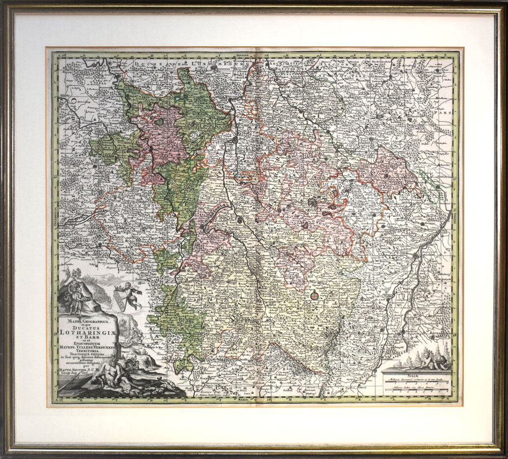
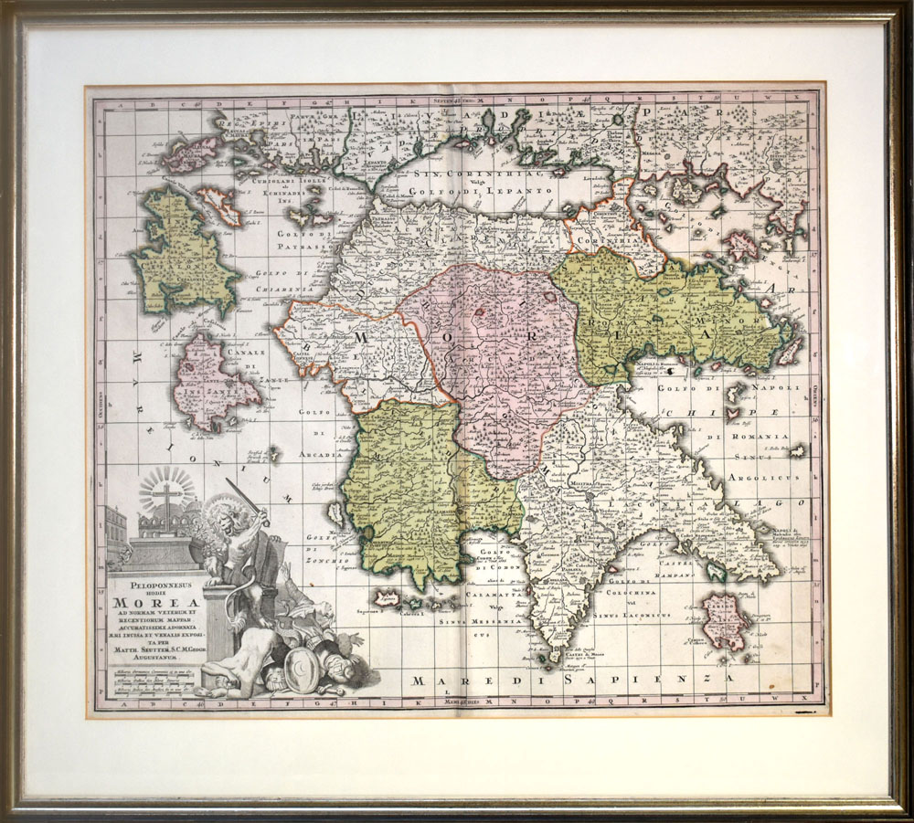
réf. 59009BBo.J. Matthäus Seutter (Matthias Seutter), geboren 1678 in Augsburg; gestorben 1757 ebenda. [3 Warenabbildungen]
réf. 59008BBo.J. Matthäus Seutter (Matthias Seutter), geboren 1678 in Augsburg; gestorben 1757 ebenda. [3 Warenabbildungen]
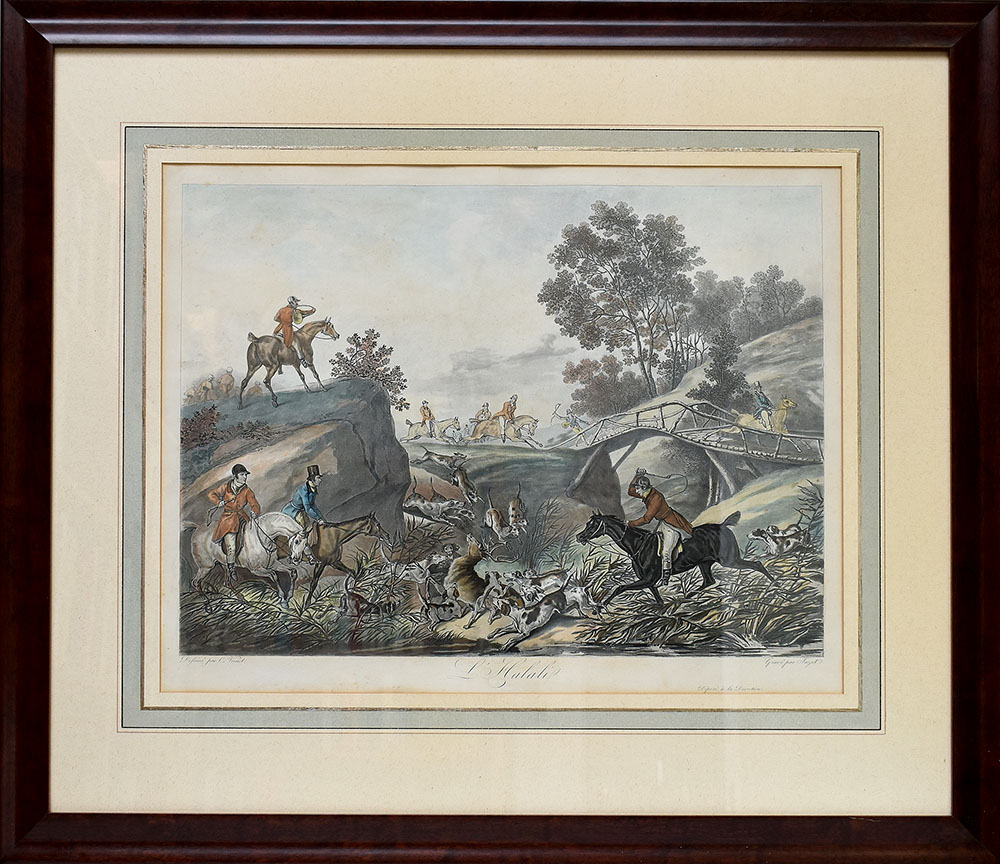
réf. 59408BBo.J. [3 Warenabbildungen] Carle Vernet (1758-1835). Französischer Maler, bekannt für seine Jagd- und Rennszenen. Jean-Pierre-Marie Jazet (1788-187
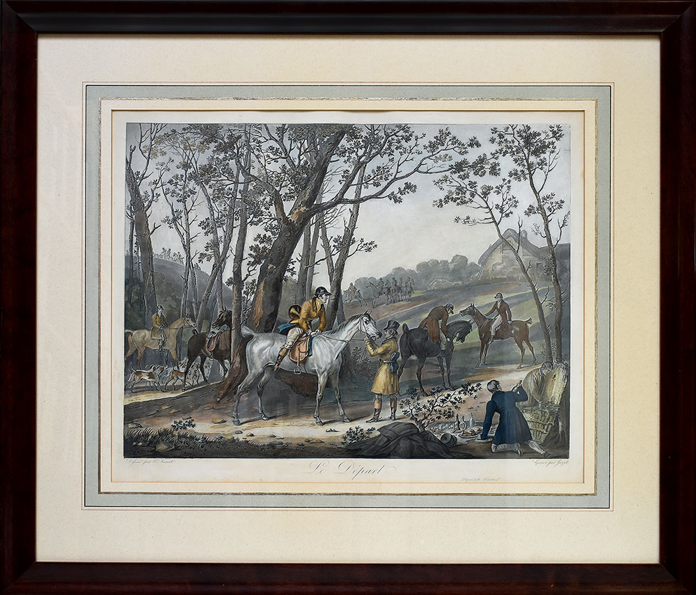
réf. 59409BBo.J. [3 Warenabbildungen] Carle Vernet (1758-1835). Französischer Maler, bekannt für seine Jagd- und Rennszenen. Jean-Pierre-Marie Jazet (1788-187
1995réf. 018560Staten Island New York: Maurizio Martino Publisher 1995. 9 volumes complete. BRAND NEW HARDCOVER in perfect condition just removed from the publisher's shrinkwrap so we could write this description. NO rubbing. NO fading. Bright clean square and tight. Sharp corners. NO owner's name or bookplate. NOT a remainder. Fresh and crisp -- obviously never read. The standard reference complete in 9 volumes. Vols. 1-4 by Philip Lee Phillips. No date but 1995 First Martino printing "strictly limited to 100". Reprint of the 1909-1920 Library of Congress originals. Vols 5-9 by Clara Egli Le Gear. No date but 1996 First Martino printing "strictly limited to 150". Reprint of the 1958-1992 Library of Congress originals in continuation of volumes 1-4 by Philip Lee Phillips. These 9 volumes fully describe thousands of atlases including imprint collation details of publication measurements content typographical and numbering errors comparisons with foreign and later editions reference citations reviews etc. There are also useful biographical sketches of explorers mapmakers engravers and lithographers. For most atlases before 1870 complete tables of contents are listed. Volume 9 is the comprehensive author index to both Phillips and LeGear with listings for 18435 atlases. The nine volumes are uniformly bound in the original gilt-stamped green cloth. Sheehy CL286: "An important catalog of an outstanding collection." Hodgkiss/Tatham KEYGUIDE 11: "The most comprehensive work on historical atlases." This heavy 9 volume set will require extra postage for Priority and International shipments. But for media mail you pay only our standard charge for 1 volume and we ship the other 8 volumes at no extra cost. . First Martino printing. Hardcover. New/No jackets as issued. Illus. by We ship all 9 volumes for cost of 1. 9 volumes complete. Great Packaging Fast Shipping. Maurizio Martino Publisher Hardcover