KOYAMA, KICHIZŌ] 小山吉三.Biblio.com
5 303 résultats
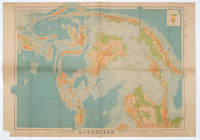
1572réf. 160533Tokyo.: 日本名所圖繪社.Nihon Meisho Zuesha. 昭和 17 1942. Folding Japanese coloured map of the Malay Archipelago and Thailand during World War II scale 1:8500000. Legend in lower corner indicates altitudes. Ink annotation in Japanese left edge. Pin holes at three corners upper right corner torn with loss evenly browned otherwise very good. Text in Japanese and English. 52.8 x 75.6cm. This map shows most of Thailand former Indochina Hainan Province and South China Sea Sumatra and Java Sea Borneo the Philippine Islands Celebes Timor New Guinea and parts of Micronesia. Natural resources such as tobacco spices wood sugar metal mines tin iron and etc. rice and other resources are indicated on the map. . 日本名所圖繪社.[Nihon Meisho Zuesha]. unknown
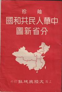
1952réf. 215851大陸輿地社. 1952. Charming pocket size atlas with double page coloured map showing China as a whole and the provinces with inset maps of special geographical features and a description of key information about each province vertical text. Text in traditional Chinese characters names on map read from right to left or vertically. Light wear little light browning but maps very clean and bright very good condition 14.5 x 9.8cm. . 大陸輿地社. unknown
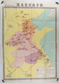
1980réf. 176714北京. Beijing.: 地图出版社.Di tu chu ban she. 1st Edition 1st Printing. 1980. Large Chinese education map folded with original envelope scale 1:1500000 legend left lower corner showing the military advance routes and battle grounds led by several leaders of the agrarian rebels including 王薄 Wang Bo 窦建德 Dou Jiande 杜伏威 Du Fuwei and 翟让 Zhai Rang. Very good copy. Text in Chinese. Sheet measures 106.8 x 76.52cm. . 地图出版社.[Di tu chu ban she]. unknown