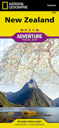
National Geographic Maps. New. BRAND NEW GIFT QUALITY! NOT OVERSTOCKS OR MARKED UP REMAINDERS! DIRECT FROM THE PUBLISHER! National Geographic Maps unknown
Bookseller reference : OTF-S-9781597750691 ISBN : 1597750697 9781597750691
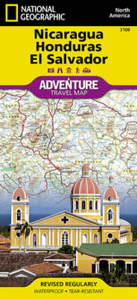
National Geographic Maps 2013. Paperback. Good. Pages can have notes/highlighting. Spine may show signs of wear. ~ ThriftBooks: Read More Spend Less.Dust jacket quality is not guaranteed. National Geographic Maps paperback
Bookseller reference : G1597755540I3N00 ISBN : 1597755540 9781597755542
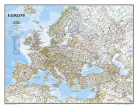
National Geographic Maps. New. BRAND NEW GIFT QUALITY! NOT OVERSTOCKS OR MARKED UP REMAINDERS! DIRECT FROM THE PUBLISHER! National Geographic Maps unknown
Bookseller reference : OTF-S-9781566955492 ISBN : 1566955491 9781566955492
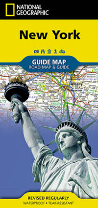
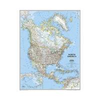
National Geographic Maps. New. BRAND NEW GIFT QUALITY! NOT OVERSTOCKS OR MARKED UP REMAINDERS! DIRECT FROM THE PUBLISHER! National Geographic Maps unknown
Bookseller reference : OTF-S-9781566953535 ISBN : 1566953537 9781566953535
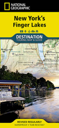
National Geographic Maps. New. BRAND NEW GIFT QUALITY! NOT OVERSTOCKS OR MARKED UP REMAINDERS! DIRECT FROM THE PUBLISHER! National Geographic Maps unknown
Bookseller reference : OTF-S-9781597750615 ISBN : 1597750611 9781597750615
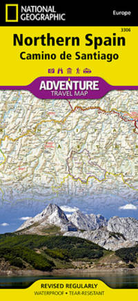
- Waterproof - Tear-Resistant - Travel Map National Geographic's Northern Spain AdventureMap is designed to meet the unique needs of adventure travelers with its durability and accurate information. This folded map provides global travelers with the perfect combination of detail and perspective highlighting hundreds of points of interest and the diverse and unique destinations within the country. The map includes the locations of cities and towns with a user-friendly index plus a clearly marked road network complete with distances and designations for major highways main roads and tracks and trails for those seeking to explore more remote regions. The front side of the Northern Spain map shows the eastern half of Northern Spain from its border with France on the north to the city of Tudela on the south. It continues west to Cangos de Onis and Palencia. The reverse side of the map stretches from Cangos de Onis and Leon to the region's western Atlantic coast. Every AdventureMap is printed on durable synthetic paper making them waterproof tear-resistant and tough -- capable of withstanding the rigors of international travel. Each is two-sided and can be folded to a packable size of 4.25"" x 9.25""; unfolded size is 26"" x 38"". Key Features: - Waterproof and tear-resistant - Accurate topography/terrain with a clearly labeled road network - Hundreds of points of interest including the locations parks and nature reserves protected lands historical and cultural attractions - Thousands of place names including towns and natural features; detailed place names index - Important travel networks including airports lighthouses ferry routes and rail lines - Updated regularly to ensure accuracy Proceeds from the sale of National Geographic maps go to support the National Geographic Society's vital exploration conservation research and education programs. ""Sheet Size = 37.75 x 25.50Folded Size = 4.25 x 9.25Scale = 1:380000"" unknown
Bookseller reference : BIBUP61025-A31489 ISBN : 1566955386 9781566955386
 Receive by email
 Download as PDF document
 RSS feed