|
DOSSERAY (J.).
Tableau historique et les uniformes des différents règnes de la France depuis les Gaules jusqu'à nos jours.
Paris, J. Dosseray, [vers 1880]. 535 x 648 mm.
Riferimento per il libraio : LBW-8945

|
|
|
DOWNIE (Murdo).
[ÉCOSSE] Carte particulière de la côte orientale d'Écosse depuis S.t Abb's Head jusqu'à Duncansby Head.
[Paris] Dépôt Général de la Marine, 1803. 883 x 609 mm.
Riferimento per il libraio : LBW-7579

|
|
|
Dr Jonathan Andrews MAPS FCCLP
The Reconnected Heart: How Relationships Can Help Us Heal
like new. unknown
Riferimento per il libraio : 42599476 ISBN : 1664215654 9781664215658

|
|
|
Dr. Jan-M. Goris,
Kaartboek van de Abdij van Tongerlo 1655-1794 (Cartografische en iconografische bronnen voor de geschiedenis van het landschap in Belgie, V)
, rijksarchief, 2001 Gebonden in een vollinnen band.groot formaat (33,5 x 24 cm). in prima staat.
Riferimento per il libraio : 41943
|
|
|
Drach, Paul-Louis-Bernard; A R Fremin (Maps by); Antonio Lanzani, Johann Jacob Falkeisen, Angelini (Engravings by)
Sacra Bibbia di Vence : prima edizione italiana - opera dedicata a S. M. I. R. A. Francesco 1. Atlante contenente le carte geografiche ed iconografiche relative al testo ed alle dissertazioni
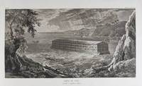
Milano: Fortunato Stella e Figli 1833. First Italian edition. Hardcover. f to vg. Oblong folio 12 6/8 x 18 1/2". 1 leaf Title 38 leaves Plates 1 leaf List of content. Original half morocco over burgundy paper covered boards. Gold lettering and tooling on spine. Rare first Italian edition of Paul-Louis-Bernard Drach's atlas volume of his "Sainte Bible de Vence" a series which was originally published in 27 volumes in Paris from 1827 to 1833. The striking 38 engraved plates featured in this atlas are composed of 13 maps by A. R. Fremin and 25 engravings signed by Falkeisen Angelini and Lanzani. The engraved plates have been laid down on beautiful hand-made paper and describe the following: 1. Map of the place of Eden Mesopotamy and Persian Gulf; 2. Noah's Arch construction; 3. Noah's Arch; 4. Map of the land divided among Noah's sons; 5. The Babel Tower; 6. Map of the Land of Canaan; 7. Map of Jews' Pilgrimage; 8. The Jerusalem Sahnedrin; 9. The Temple of Jerusalem plans and sections; 10. The Temple of Jerusalem square plan; 11. Map of ancient Jerusalem; 12. The Temple of Salomon; 13. The Temple's foundations; 14. The East Gate; 15. The Buildings of the Temple; 16. Musical Instruments of the Jews; 17. Hebrew Alphabet; 18. Jew's Vestments and worship's objects; 19. Two Menorah; 20. High Priest's vestments and Golden Menorah; 21. Moses' Tabernacle; 22. The Loaves of Proposition; 23. Plan and section of the Tabernacle; 24. The encampment of the Israelites; 25. Map of the Holy Land South; 26. Map of the Holy Land North; 27. Map of Syria; 28.Map of Israel under Salomon; 29. Plan of the House of the Forest of Lebanon; 30. The House of the Forest of Lebanon; 31. The Bronze Sea; 32. The Washings; 33. The Altars of the Holocausts; 34. Map of the Persian Empire; 35. Map of the Land of Canaan according to Ezechiel; 36. Map of Herod's Reign; 37. Zachary's Vision; 38. Map of the travels of Saint Peter and Saint Paul. The plates measure appr. 12 1/2 x 18 1/4" image size appr. : 9 1/2 x 14 6/8". Binding rubbed on covers and along edges. Head and tail of spine chipped. Previous owner's Ex-libris Calvin Bullock on inside of front cover. Minor and sporadic foxing along paper margin not affecting plates. Title and captions in Italian. Binding in overall fair interior in very good plates in near fine to fine condition. About the author: "David Paul Drach aka Paul-Louis-Bernard Drach after his conversion 1791-1865 was a Catholic convert from Judaism and librarian of the College of Propaganda in Rome. Drach received his early education from his father who was a rabbi. After spending some time in various Talmudic schools he became a teacher at Rappoltsweiler though only sixteen years of age. The love of the secular sciences brought him to Paris where he was welcomed by his coreligionists and became tutor in a wealthy Jewish family. His reputation as a teacher brought him Christian pupils; and this may have had some influence on his subsequent conversion; in fact he had always manifested some leaning toward Christianity. Drach had already begun the study of Greek and Latin so as to become acquainted with the Christian doctrines in their original sources. Struck by the accusation of some of the Fathers that the Jews had corrupted the Hebrew text he began a comparative study of the Hebrew and the Septuagint which study he continued in spite of the remonstrances of the president of the Central Consistory. Drach was received into the Catholic faith in 1823 together with his two daughters and his son Paul who afterward became a priest and a distinguished Biblical scholar. In 1827 Drach accepted the position of librarian of the Propaganda in Rome which position he held until the year of his death." From the Jewish Encyclopedia. Fortunato Stella e Figli hardcover
Riferimento per il libraio : 18856
|
|
|
Drews, John
The Lakeland One Hundred
Name/date to front end paper. No other marks or inscriptions. A very clean very tight copy with bright unmarked boards and no bumping to corners. Dust jacket not price clipped or marked or torn with minor creasing to edges and a little indenting. 189pp. Circular walks to the 100 highest peaks in England's Lake District. Well illustrated.

|
|
|
Dries, Jean
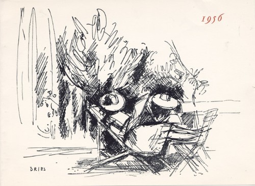
Jean Dries : carte de voeux pour 1956 et gravure originale
1956 Carte de voeux de Jean et Henriette Dries pour l'année 1956. 14,5 x 20 cm, 2ff., portant une gravure en noir en page 3, signée dans la planche et les voeux imprimés en regard.
Riferimento per il libraio : 1479
|
|
|
Driver, S. R
Notes on the Hebrew Text and the Topography of the Books of Samuel. With an introduction on Hebrew palaeography and the ancient versions, and facsimiles of inscriptions and maps. [By the Rev. S. R. Driver]. 2. edition, revised and enlarged.
Oxford: The Clarendon Press 1913. XCVI, 390 Seiten. Gr. 8° (22,5-25 cm). Orig.-Leinenband. [Hardcover / fest gebunden].
Riferimento per il libraio : 154154

|
|
|
DROGUET, Alain Droguet, directeur des Archives départementales des Côtes-d'Armor ( actes recueillis par), cartes ; excellent état.
Les Bleus de Bretagne de la Révolution à nos jours - (Actes Du Colloque De Saint-Brieuc-Ploufragan, 3-5 Octobre 1990)
Fédération des Côtes-d'Armor - 1991 - In-8, 16 x 24 cm - Broché - Couverture illustrée - Cartes et illustrations en noir et blanc - 447 pages - très frais
Riferimento per il libraio : 26536
|
|
|
DROUOT Lucien
L'AUVERGNE D'AUTREFOIS
1980 br. gd. in-8, pl. ill., envoi, nombr. repro. de cartes postales anciennes commentées, sans pagination, 144 p., 1980 horvath éd.,
Riferimento per il libraio : 1180
|
|
|
Drouot Lucien
L'Auvergne d'Autrefois
Editions Horvath In-8, broché, couverture chocolat ill (Carte p.) l'ensemble est non paginé (140pp) et comporte essentiellement des reproductions de Cartes Postales légendée et commentées.Hormis une marque de pliure discrète, cet ouvrage est en bon état et de bel aspect.
Riferimento per il libraio : 10753
|
|
|
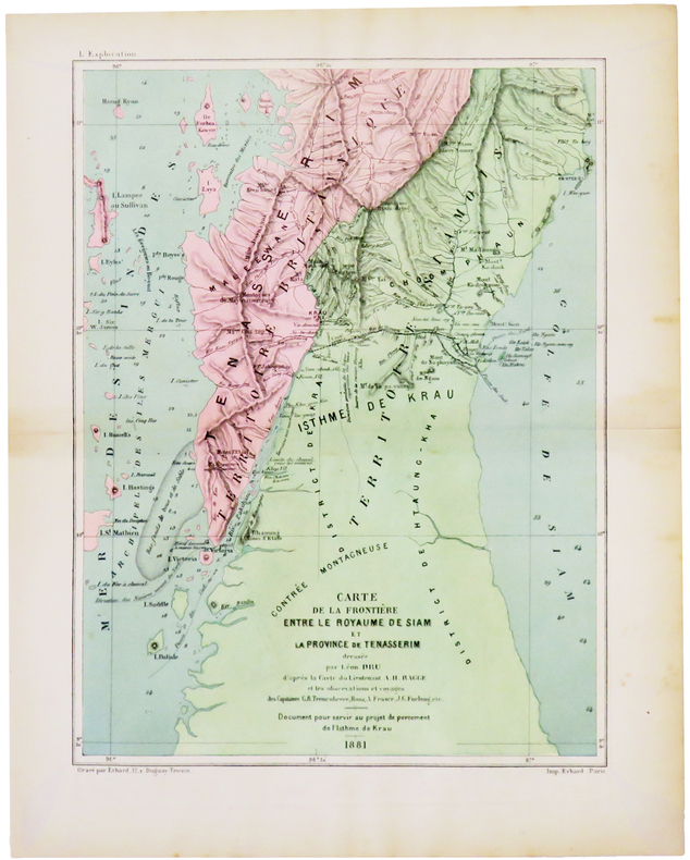
DRU (Léon).
[THAÏLANDE/BIRMANIE] Carte de la frontière entre le royaume de Siam et la province de Tenasserim.
[1882]. 250 x 189 mm.
Riferimento per il libraio : LBW-5008
|
|
|
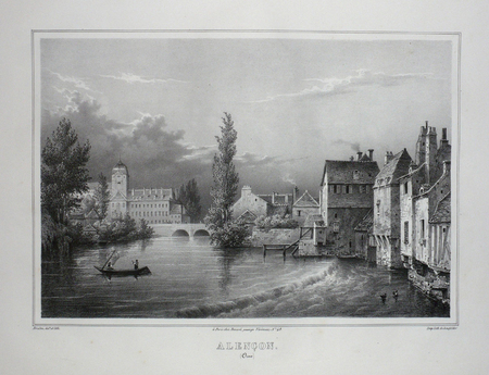
DRULEN;
ALENCON (Orne).
Paris Benard circa 1850 225 x 293 mm.
Riferimento per il libraio : LBW03d73
|
|
|
Drysdale, Andrew (editor)
The 'Argus' Book of Cape Town
Inscription on half-title page. No other marks. Light creasing to corners, none to spine. A very clean very tight copy with bright unmarked boards and no bumping to corners. 112pp. Guide to Cape Town just as the apartheid era was ending.

|
|
|
DU BUS (Charles)
Les Cartes et plans à l'exposition révolutionnaire de la Bibliothèque Nationale. Extrait de "La Révolution française" (n°37, 1928)
Paris, Imprimerie de la Cour d'Appel, 1928 gr. in-8, 30 pp., broché.
Riferimento per il libraio : 131055
|
|
|
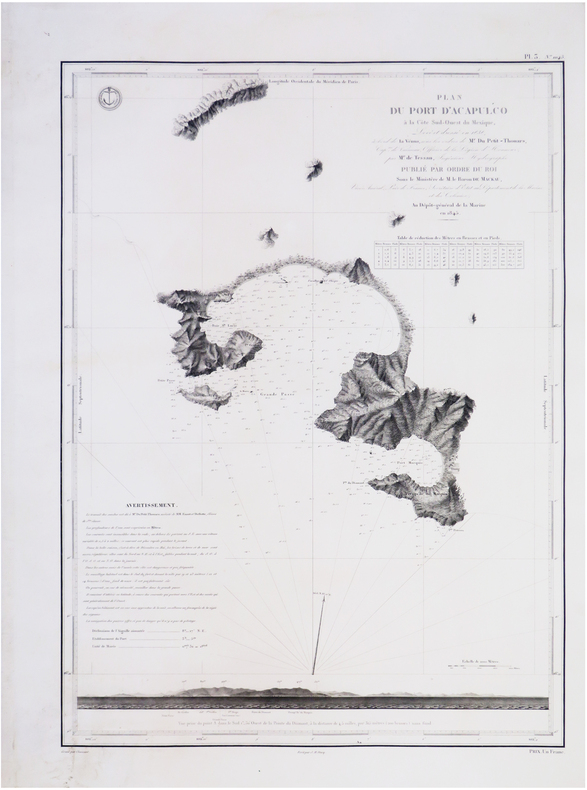
DU PETIT-THOUARS (Louis-Marie Aubert).
[ACAPULCO/MEXIQUE] Plan du port d'Acapulco à la côte sud-ouest du Mexique.
[Paris], Dépôt-Général de la Marine, 1845. 590 x 426 mm.
Riferimento per il libraio : LBW-7720
|
|
|
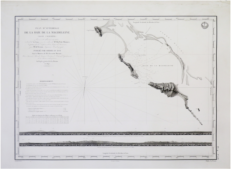
DU PETIT-THOUARS (Louis-Marie Aubert).
[BASSE-CALIFORNIE du SUD/MEXIQUE] Plan d'atterrage de la Baie de la Magdeleine (Basse Californie).
[Paris], Dépôt-Général de la Marine, 1845. 427 x 586 mm.
Riferimento per il libraio : LBW-7683
|
|
|
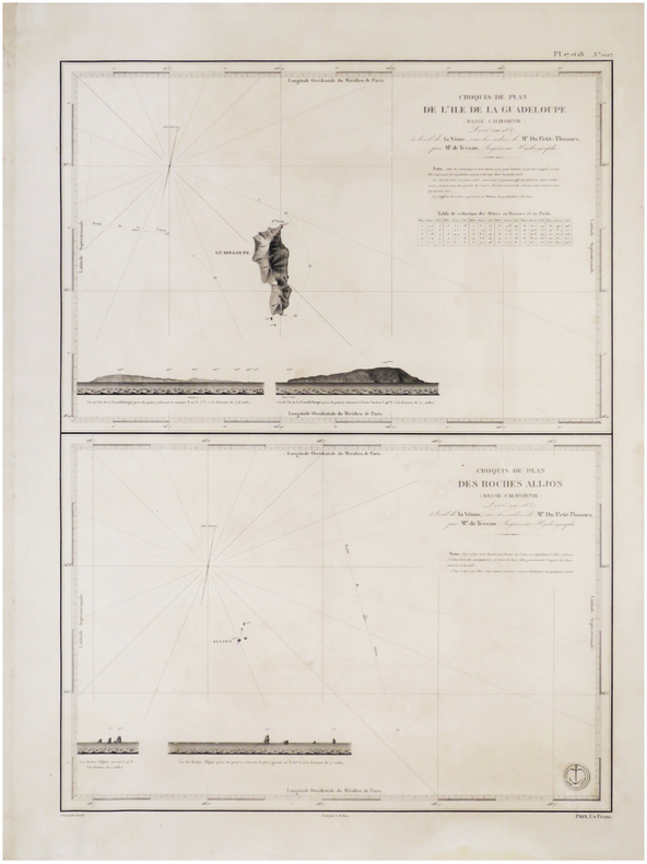
DU PETIT-THOUARS (Louis-Marie Aubert).
[BASSE-CALIFORNIE/MEXIQUE] Croquis de plan de l'île de la Guadeloupe (Basse Californie) - Croquis de plan des Roches Alijos (Basse Californie).
[Paris, 1845]. 592 x 426 mm.
Riferimento per il libraio : LBW-7585
|
|
|
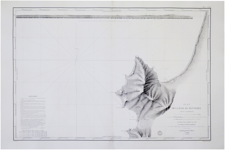
DU PETIT-THOUARS (Louis-Marie Aubert).
[CALIFORNIE/MONTEREY] Plan de la Baie de Monterey (Haute Californie).
[Paris], Dépôt-Général de la Marine, 1844 [1845]. 593 x 868 mm.
Riferimento per il libraio : LBW-7717
|
|
|
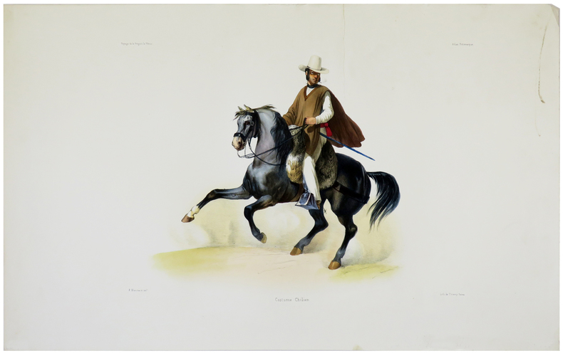
DU PETIT-THOUARS (Louis-Marie Aubert).
[CHILI] Costume chilien.
[Paris, 1841]. 253 x 342 mm.
Riferimento per il libraio : LBW-5494
|
|
|
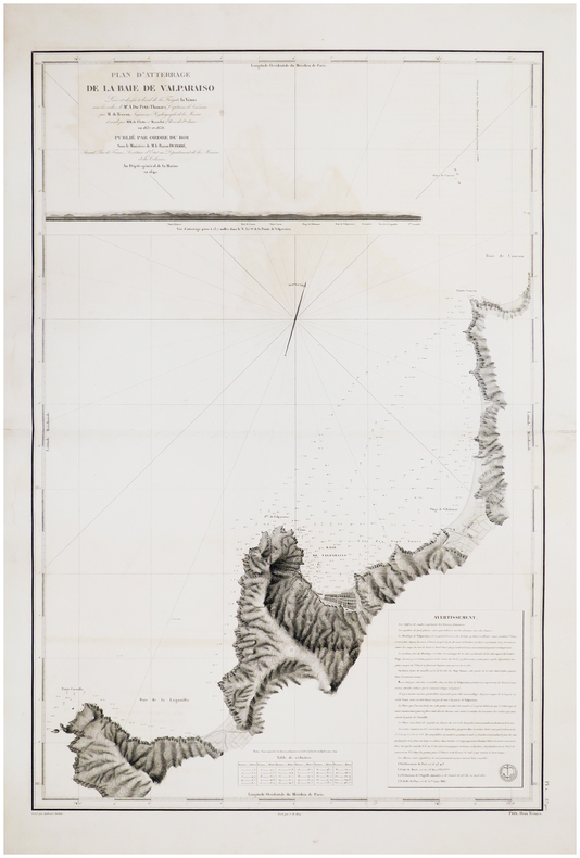
DU PETIT-THOUARS (Louis-Marie Aubert).
[CHILI] Plan d'atterrage de la baie de Valparaiso.
[Paris, 1845]. 888 x 598 mm.
Riferimento per il libraio : LBW-7542
|
|
|
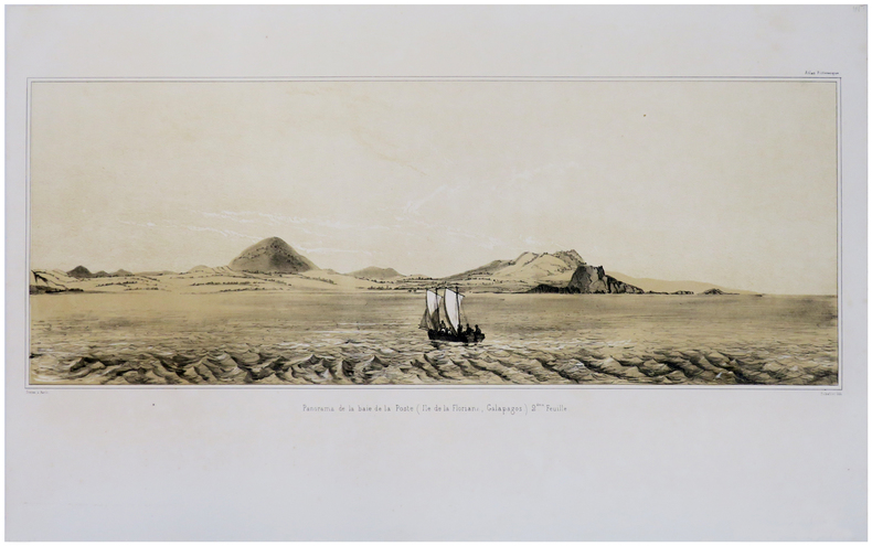
DU PETIT-THOUARS (Louis-Marie Aubert).
[GALAPAGOS] Panorama de la baie de la Poste (Ile de la Floriana, Galapagos).
[Paris, 1841]. En deux feuilles non jointes pouvant former un panorama d'environ 211 mm x 1,02 m.
Riferimento per il libraio : LBW-1781
|
|
|
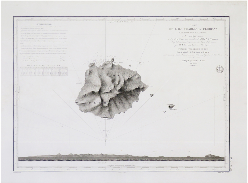
DU PETIT-THOUARS (Louis-Marie Aubert).
[GALÁPAGOS] Plan de l'île Charles ou Floriana (archipel des Galapagos).
[Paris], Dépôt-Général de la Marine, 1845. 425 x 585 mm.
Riferimento per il libraio : LBW-7718
|
|
|
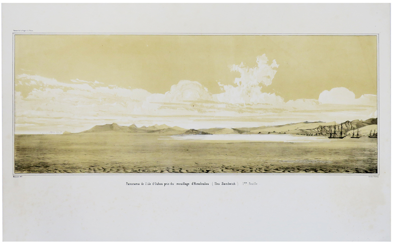
DU PETIT-THOUARS (Louis-Marie Aubert).
[HAWAII] Panorama de l'île d'Oahou pris du mouillage d'Honoloulou (Iles Sandwich).
[Paris, 1841]. En deux feuilles non jointes pouvant former un panorama d'environ 217 mm x 1,02 m.
Riferimento per il libraio : LBW-1782
|
|
|
DU PETIT-THOUARS (Louis-Marie Aubert).
[KAMTCHATKA] Plan de la Baie d'Avatscha au Kamtschatka.
[Paris], Dépôt-Général de la Marine, 1844 [1845]. 600 x 423 mm.
Riferimento per il libraio : LBW-7689

|
|
|
DU PETIT-THOUARS (Louis-Marie Aubert).
[MEXIQUE] Panorama, pris du mouillage de San Blas (côte occidentale du Mexique).
[Paris, 1841]. En quatre feuilles non jointes pouvant former un panorama d'environ 210 mm x 2,04 m.
Riferimento per il libraio : LBW-1702

|
|
|
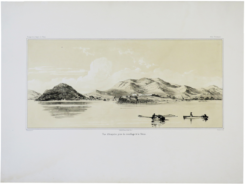
DU PETIT-THOUARS (Louis-Marie Aubert).
[MEXIQUE] Vue d'Acapulco, prise du mouillage de la Vénus.
[Paris, 1841]. 193 x 384 mm.
Riferimento per il libraio : LBW-5674
|
|
|
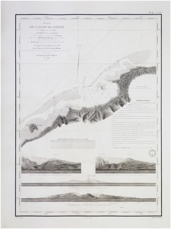
DU PETIT-THOUARS (Louis-Marie Aubert).
[POLYNÉSIE FRANÇAISE/TAHITI] Plan de la rade de Papeiti à Tahiti ou O-Taïti (archipel de la Société).
[Paris], Dépôt-Général de la Marine, 1844 [1845]. 600 x 423 mm.
Riferimento per il libraio : LBW-7698
|
|
|
DU PETIT-THOUARS (Louis-Marie Aubert).
[PÉROU] Costumes de Lima (Pérou).
[Paris, 1841]. 227 x 250 mm.
Riferimento per il libraio : LBW-5492

|
|
|
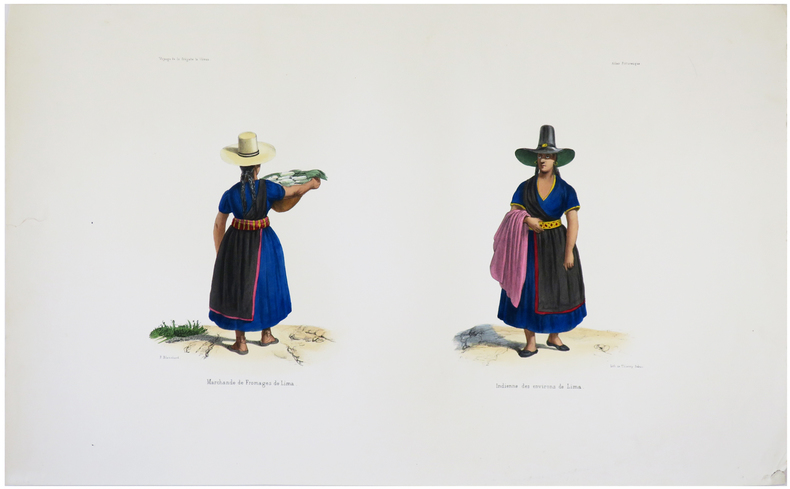
DU PETIT-THOUARS (Louis-Marie Aubert).
[PÉROU] Marchande de fromages de Lima - Indienne des environs de Lima.
[Paris, 1841]. 225 x 332 mm.
Riferimento per il libraio : LBW-5493
|
|
|
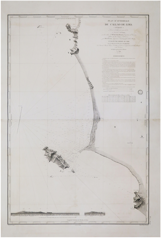
DU PETIT-THOUARS (Louis-Marie Aubert).
[PÉROU] Plan d'atterrage du Callao de Lima (Pérou).
[Paris, 1845]. 880 x 594 mm.
Riferimento per il libraio : LBW-7547
|
|
|
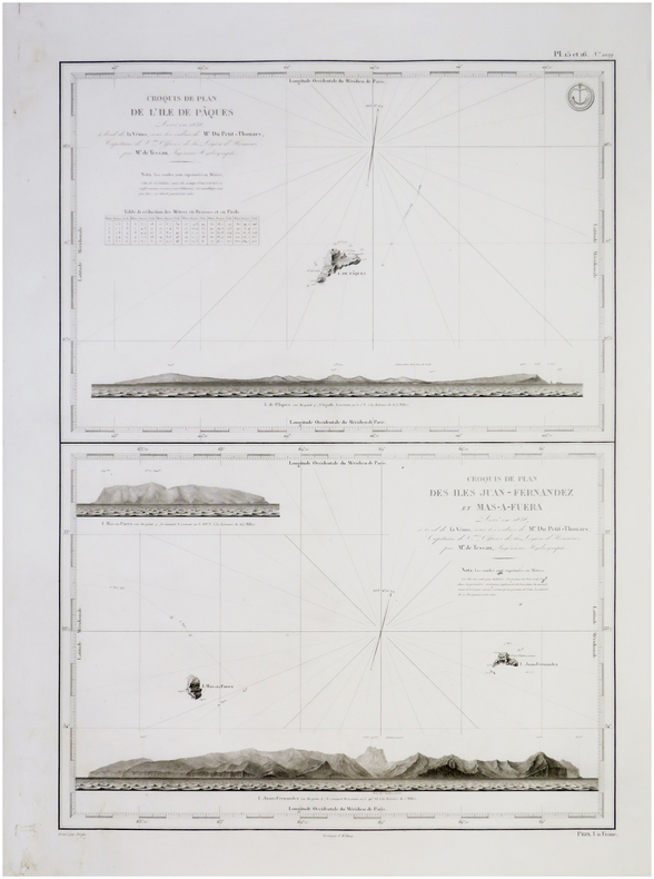
DU PETIT-THOUARS (Louis-Marie Aubert).
[ÎLES de PÂQUES & JUAN FERNANDEZ/CHILI] Croquis de plan de l'île de Pâques - Croquis de plan des îles Juan Fernandez et Mas-a-Fuera.
[Paris, Dépôt-Général de la Marine], 1845. 600 x 420 mm.
Riferimento per il libraio : LBW-7696
|
|
|
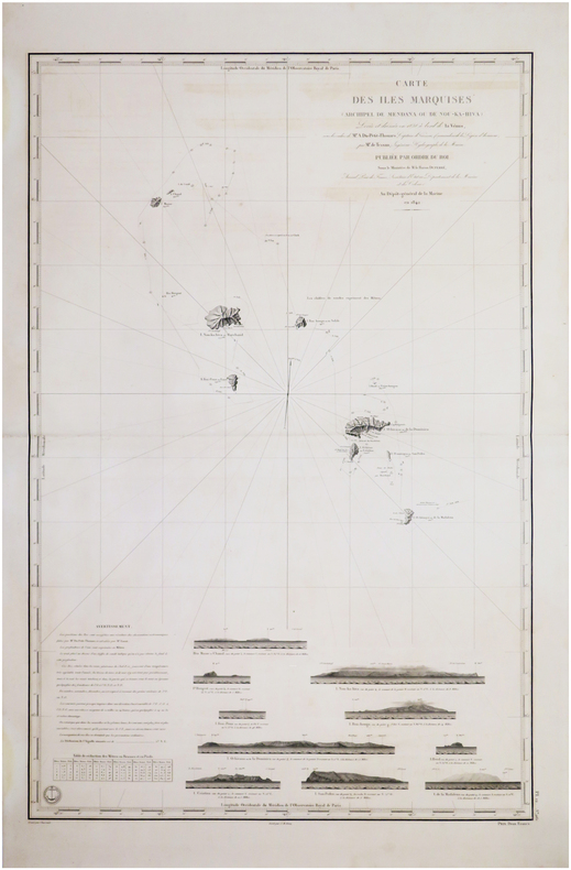
DU PETIT-THOUARS (Louis-Marie Aubert).
[ÎLES MARQUISES/POLYNÉSIE FRANCAISE] Carte des îles Marquises (archipel de Mendana ou de Nou-Ka-Hiva).
[Paris], Dépôt-Général de la Marine, 1842 [1845. 882 x 590 mm.
Riferimento per il libraio : LBW-7576
|
|
|
Du PINET Antoine (1510 - 1584 circa)
Description de la Cité de Romme
Rarissima pianta prospettica della città, sconosciuta ai principali repertori sulle piante di Roma e pubblicata per la prima volta in Marigliani (2007).Si tratta di una copia della pianta del Munster senza alcun aggiornamento e ritrae la città come si presentava alla fine del '400 attingendo al medesimo prototipo comunemente indicato nel panorama di Mantova a sua volta ripreso da un presunto ma tuttora sconosciuto panorama inciso nella bottega di Francesco Rosselli verso il 1485. Tavola tratta dal rarissimo "Plantz, pourtraitz et descriptions de plusieurs villes et forteresses, tant de l'Europe, Asie, & Afrique, que des Indes, & terres neuves: Leurs fondations, antiquitez, & manieres de vivre: Avec plusieurs cartes generales & particulieres, servans à la Cosmographie, iointes à leurs declarations: deux tables fort amples, l'une des chapitres, & l'autre des matieres contenues en ce present livre. Le tout mis par ordre, region par region, par Antoine du Pinets" stampato a Lione dall’editore Jean d’Ogerolles. L'opera, che contiene 55 tavole silografiche - molte dele quali derivanti da Muenster - include il mondo cordiforme sul modello di Appiano, le mappe di europa e Germania e 18 vedute a doppia pagina delle primcipali città del tempo.La veduta di Roma deriva da quella pubblicata sempre a Lione nel 1552 da Guillaume Guéroult nel "Premier livre des figures et portraitz des villes", edita da Balthazar Arnouellet, da cui d’Ogerolles acquisì parte del fondo tipografico. Pertanto possiamo affermare che questa matrice in legno sia la stessa stampata alcuni anni prima, alla quale furono apportate delle correzioni nella cornice e nel titolo. Xilografia, in perfetto stato di conservazione. Rarissima. A very rare map of Rome, unknown by mostly of the repertoiries. The view depicts the city as it was at the end of the 15th century, drawing on the same prototype commonly indicated in the panorama of Mantua in turn taken from a still unknown panorama engraved in the workshop of Francesco Rosselli around 1485.Work taken from the very rare "Plantz, pourtraitz et descriptions de plusieurs villes et forteresses, tant de l'Europe, Asie, & Afrique, que des Indes, & terres neuves: Leurs fondations, antiquitez, & manieres de vivre: Avec plusieurs cartes generales & particulieres, servans à la Cosmographie, iointes à leurs declarations: deux tables fort amples, l'une des chapitres, & l'autre des matieres contenues en ce present livre. Le tout mis par ordre, region par region, par Antoine du Pinets" printed in Lyon by Jean d’Ogerolles. The work include 55 woodcuts, many after Munster, comprising 3 double-page maps (cordiform world after Apianus, Europe and Germany), 7 half-page maps, 18 double-page views (including Lyon, Bordeaux, Geneva, Frankfurt, Florence, Venice, Rome, Constantinople, Jerusalem, Cusco and others), and 27 illustrations (including Mexico city).The view is inspired to Guillame Guéroult’s "Premier livre des figures et portraitz des villes", published in 1552 by Balthazar Arnouellet. From him, d’Ogerolles bought many plates, therefore we can state that this block had been already used many years before and has then undergone some changes before being reprinted. Woodcut, in excellent condition. Valerio pp. 33/34; C. Marigliani, "Le Piante di Roma delle collezioni private", tav. 18

|
|
|
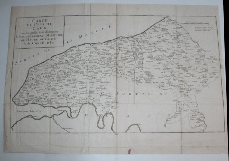
DU PLESSIS (Dom Toussaints).
Carte du Pays de Caux dans la quelle sont distinguez le Gouvernement Militaire du Havre de Grace et le Comté d'Eu.
Paris, Giffard, 1740. Carte gravée en noir, 64 x 45 cm, trace de pliures.
Riferimento per il libraio : 16272
|
|
|
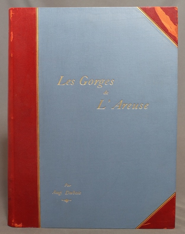
DUBOIS Auguste:
Les gorges de l’Areuse et le Creux du Van.
Neuchâtel, Attinger Frères, 1902. In-4 de [10]-227 pages, demi-maroquin rouge à coins, dos lisse (muet), titre doré au premier plat, doubles filets dorés sur les deux plat, couverture conservée.
Riferimento per il libraio : 1195
|
|
|
DUBOIS Auguste:
Les gorges de l’Areuse et le Creux du Van.
Neuchâtel, Attinger Frères, 1902. In-4 de [8]-227 pages, demi-maroquin bordeaux, plats de percaline rouge, tranches marbrées, dos lisse avec titre doré et filets dorés et à froid.
Riferimento per il libraio : 14046

|
|
|
DUBOIS, Georges - DUBOIS, Camille
La géologie de l'Alsace. Aperçu général et excursions géologiques.
Editions Université de Strasbourg, Mémoire n°13 du service de la carte géologique d'Alsace et de Lorraine, Publié avec le concours du centre national de la recherche scientifique - 1955 - In-4, broché - 312 pages - Figures hors-texte en N&B
Riferimento per il libraio : 122331

|
|
|
Dubourg André
Collectionner, éditer des cartes postales
Encyclopédie des connaissances pratiques. 1987. In-8. Broché. Etat d'usage, Couv. convenable, Dos frotté, Intérieur acceptable. 67 pages - nombreuses photos et illustrations en noir et blanc dans et hors texte et planche dépliante en fin d'ouvrage.. . . . Classification Dewey : 741.68-Illustrations des cartes postales
Riferimento per il libraio : R300302647

|
|
|
DUCHEMIN DESCEPEAUX J.
Lettres sur l’origine de la chouannerie et sur les chouans du Bas-Maine
dédiées au Roi Tome premier seul. In 8 demi-cuir glacé, vert, titre, tomaison, fers, filets, roulette, palmette dorés. Faux-titre, titre, V, 444 pages, imprimé par autorisation du Roi à l’imprimerie royale 1825. Edition originale, très bon état
Riferimento per il libraio : 8764

|
|
|
Ducout, Fran oise
Cartes Postales de Chats
, Pierre Horay, 1984 Hardcover, +-100 pages, Texte en Francais, 320 x 240 mm, coin l g rement d chir sinon bon tat, illustrations en couleur / n/b. ISBN 9782705801403.
Riferimento per il libraio : 60712
|
|
|
Ducout, Françoise
Cartes Postales de Chats
Hardcover, +-100 pages, Texte en Francais, 320 x 240 mm, coin légèrement déchiré sinon bon état, illustrations en couleur / n/b. ISBN 9782705801403.

|
|
|
Dudal R.,Osmond D. A.,Tavernier R.
Carte des sols de l'Europe, 1 / 2.500.000 (2 volumes)
Organisation des Nations Unies pour l'Alimentation et l'Agriculture Dos carré collé 1967 Deux volumes in-4 (23,5 x 29,5 cm), dont un volume de notice explicative dos carré collé (126 pages) et une chemise contenant les cartes en couleurs ; manque au dos en tête du livret de notice, quelques marques d'usage et rousseurs éparses, par ailleurs assez bon état. Livraison a domicile (La Poste) ou en Mondial Relay sur simple demande.
Riferimento per il libraio : xa79
|
|
|
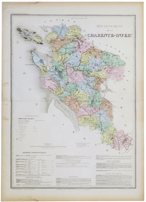
DUFOUR (Auguste-Henri).
[CHARENTE-MARITIME] Département de la Charente Infér.re.
Paris, Maison Bouasse-Lebel et ancienne Maison Basset réunies, [circa 1860]. 760 x 533 mm.
Riferimento per il libraio : LBW-5327
|
|
|
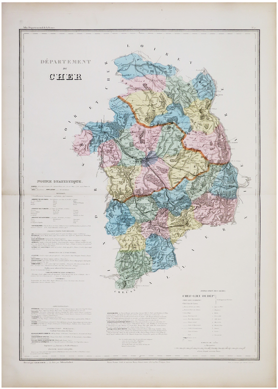
DUFOUR (Auguste-Henri).
[CHER] Département du Cher.
Paris, Maison Bouasse-Lebel et ancienne Maison Basset réunies, [circa 1860]. 753 x 529 mm.
Riferimento per il libraio : LBW-5886
|
|
|
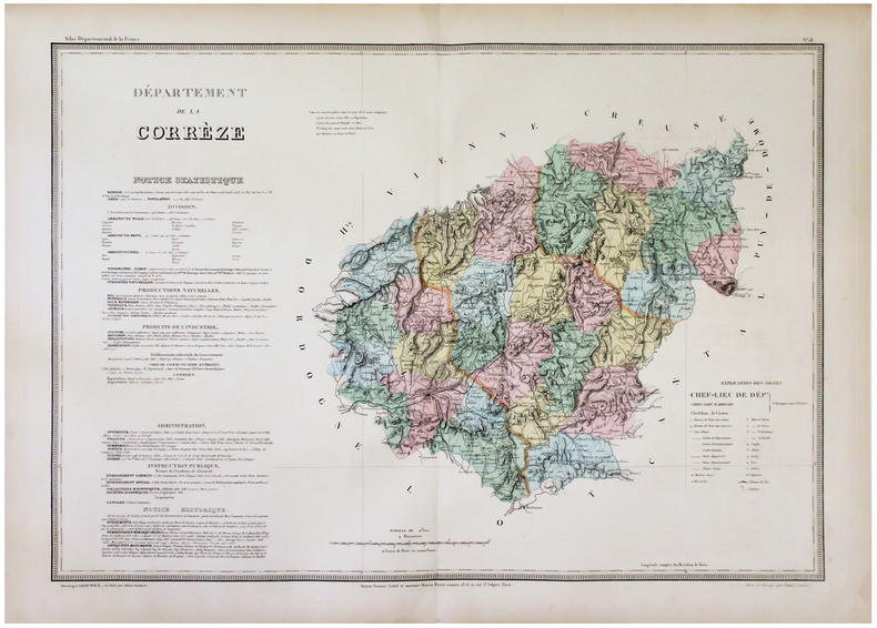
DUFOUR (Auguste-Henri).
[CORRÈZE] Département de la Corrèze.
Paris, Maison Bouasse-Lebel et ancienne Maison Basset réunies, [circa 1860]. 538 x 751 mm.
Riferimento per il libraio : LBW-5911
|
|
|
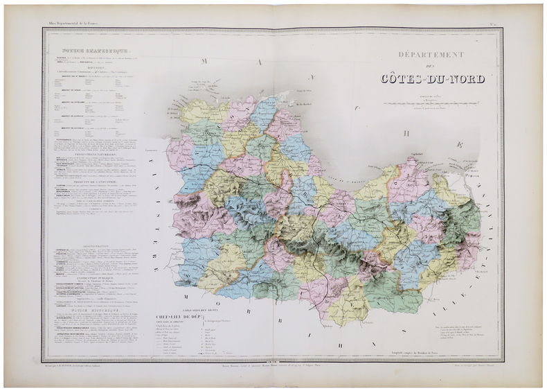
DUFOUR (Auguste-Henri).
[CÔTES-d'ARMOR] Département des Côtes-du-Nord.
Paris, Maison Bouasse-Lebel et ancienne Maison Basset réunies, [circa 1860]. 547 x 743 mm.
Riferimento per il libraio : LBW-5328
|
|
|
DUFOUR (Auguste-Henri).
[FINISTÈRE] Département du Finistère.
Paris, Maison Bouasse-Lebel et ancienne Maison Basset réunies, [circa 1860]. 544 x 758 mm.
Riferimento per il libraio : LBW-5331

|
|
|
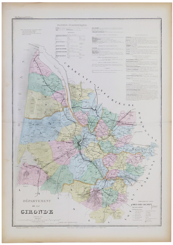
DUFOUR (Auguste-Henri).
[GIRONDE] Département de la Gironde.
Paris, Maison Bouasse-Lebel et ancienne Maison Basset réunies, [circa 1860]. 761 x 534 mm.
Riferimento per il libraio : LBW-5332
|
|
|
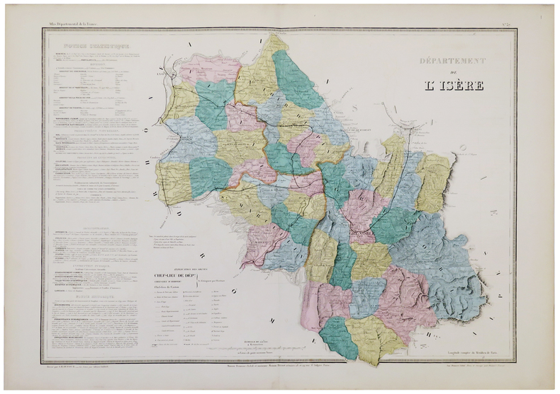
DUFOUR (Auguste-Henri).
[ISÈRE] Départements de l'Isère.
Paris, Maison Bouasse-Lebel, [circa 1860]. 540 x 748 mm.
Riferimento per il libraio : LBW-5333
|
|

 Ricevere i risultati per e-mail
 Scaricare i risultati in PDF
 RSS feed
 Link
Link


