|
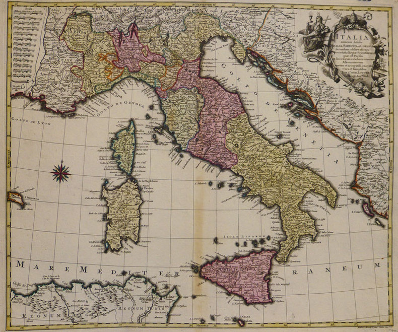
LOTTER (Tobias Conrad);
Italia annexis insulis Sicilia, Sardinia et Corsica.
Augsbourg 1758 476 x 568 mm.
Bookseller reference : LBW-935
|
|
|
Lotter, Gebr.:
Karte von West-Russland. Von 2 Platten gedruckt und in Hochformat zusammengesetzt. Altkolorierte Kupferstichkarte.
Format (Blattgröße): 69 x 48 cm. *Im linken unteren Viertel mit 2 alten Tintenflecken (1 weiterer am Unterrand). Ansonsten sauber und gut erhalten Landkarten de
|
|
|
Lotter, Tobias Conrad
Marchionatus Lusatiae Superioris Felicissimo Polaniae, Regis, Electoris Saxoniae, sceptro florens, Dynastiis et Praefecturis suis distributus nova accuratione Tob. Conradi Lotter Geogr. delineatus in Augusta. [Altkolorierter Original-Kupferstich / original colored copper engraving].
o.J. Tobias Conrad Lotter, geboren 1717, gestorben am 14. Juli 1777. Kupferstecher, Kartograph und Verleger in Augsburg. [2 Warenabbildungen]
Bookseller reference : 12064DB

|
|
|
Lotter, Tobias Conrad
Theatrum belli Rußorum Victoriis illustratum sive Nova et accurata Turcicarum et Tartaricum ... [Altkolorierter Original-Kupferstich / original colored copper engraving].
o.J. [2 Warenabbildungen] Tobias Conrad Lotter, geboren 1717, gestorben am 14. Juli 1777. Kupferstecher, Kartograph und Verleger in Augsburg.
Bookseller reference : 13188DB

|
|
|
Lotter, Tobias Conrad (1717 - 1777):
"Novissimum Astronomiae, Geographiae, ac Gnomonicae compendium theoreticum. Altkolorierter Kupferstich von M. Seutter.
49 x 58 cm. Blatt: 52 x 66 cm. Theoretische und pratische Erklärung: in der Unterhalfte zwei Abb. von einer "Quadranten Uhr" und einer "Äquinoctial oder dem Mittel=kreis gleich ebene Universal Uhr" (je 24:24 cm), daruber der umfangreiche gestochene Erläuterungstext (in Latein). Zwischen den Abb. und dem Text in 2 Kolumnen sind Abb. von Instrumenten. - Unterrand knapp beschnitten, sonst breitrandig. Sauber und sehr gut erhalten. Graphiken de
|
|
|
Lotter, Tobias Conrad:
Nova et accuratißima Ducatus Wurtenbergici cum territoris conterminis. Kupferstichkarte des Herzogtums Württemberg von Tobias Lotter.
Format 50 x 57,5 cm. Blattgröße: 52 x 66 cm. *Mit Grenzkolorit und Markierung der Städte - die Kartuschen nicht koloriert. - Gut erhalten. Landkarten de
|
|
|
Louis Catherine Feng Xiao-Min
Liu et l'oiseau
PICQUIER 2003 32 pages 25 1x25 2x1cm. 2003. Relié. 32 pages.
Bookseller reference : 500115595

|
|
|
Louis Dutens
Itinéraire des routes les plus fréquentées, ou Journal de plusieurs voyages aux villes principales de l'Europe, depuis 1768 jusqu'en 1783; où l'on a marqué en heures & minutes le temps employé à aller d'une poste à l'autre; les distances en milles anglois, mesurées par un Odomètre appliqué à la voiture; les productions des différentes contrées; les choses remarquables à voir dans les villes & sur les routes; les auberges,etc. On y a joint le rapport des monnoies & celui des mesures itinéraires, ainsi que le prix des chevaux de poste des différens pays. Septième édition, revue, corrigée & augmentée.
Paris Barrois 1791 In12 ( 17 x 11 cm ) - demi veau a coins - 4ff , XXXII + 285 pages - Carte du Lac Trasimène en frontispice et une très grande carte dépliant de l'Europe établie en 1783 par La Rochette . Ex Libris De Barante . Dutens a publié son itinéraire pour la première fois en 1775 . Toutes les éditions suivantes ont été remises à jour et augmentées .
Bookseller reference : Arm310
|
|
|
Louis Dutens
Itinéraire des routes les plus fréquentées, ou Journal de plusieurs voyages aux villes principales de l'Europe, depuis 1768 jusqu'en 1783; où l'on a marqué en heures & minutes le temps employé à aller d'une poste à l'autre; les distances en milles anglois, mesurées par un Odomètre appliqué à la voiture; les productions des différentes contrées; les choses remarquables à voir dans les villes & sur les routes; les auberges,etc. On y a joint le rapport des monnoies & celui des mesures itinéraires, ainsi que le prix des chevaux de poste des différens pays. Septième édition, revue, corrigée & augmentée.
Paris Barrois 1791 In12 ( 17 x 11 cm ) - demi veau a coins - 4ff , XXXII + 285 pages - Carte du Lac Trasimène en frontispice et une très grande carte dépliant de l'Europe établie en 1783 par La Rochette . Ex Libris De Barante . Dutens a publié son itinéraire pour la première fois en 1775 . Toutes les éditions suivantes ont été remises à jour et augmentées .
Bookseller reference : Arm310
|
|
|
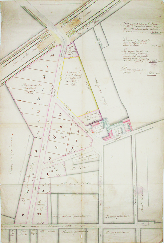
LOUIS-LE-GRAND (rue). MANUSCRIT.
[Plan d'aménagement de la rue Louis-le-Grand].
[circa 1703]. En 4 feuilles jointes de 530 x 760 mm.
Bookseller reference : LBW-4190
|
|
|
Lourdes, S.A. Garcia
Cancun Life
No marks or inscriptions to contents. No creasing to covers or to spine. A very clean very tight copy with bright laminated boards, tiny rub to spine foot, fine indenting to rear and no bumping to corners. 329pp. Lavish tourist guide to Cancun and surrounding area in Mexico.

|
|
|
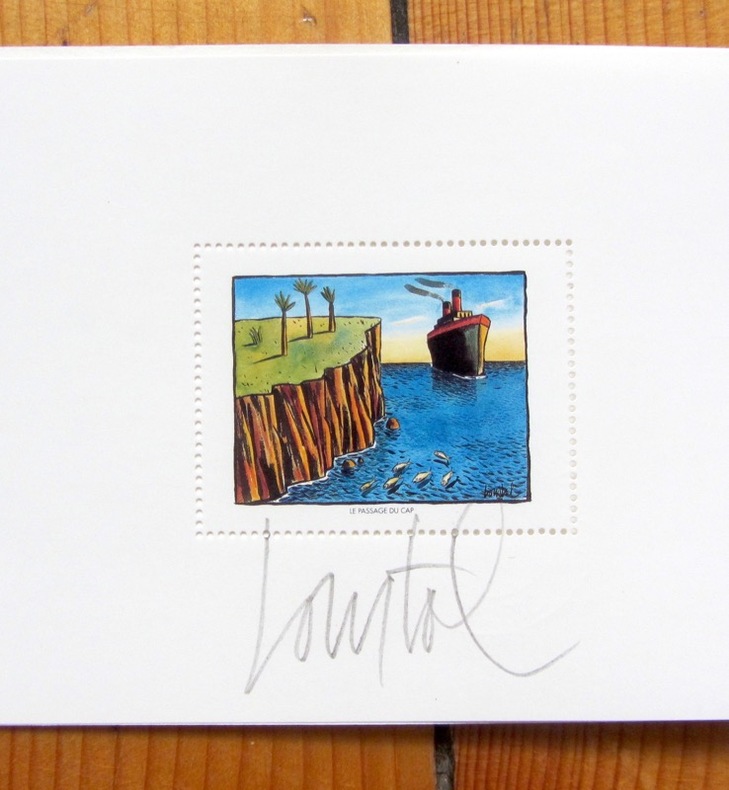
Loustal:
Assis debout couché.
Editions Christian Desbois, 1991. 7 aquarelles de Jacques Loustal presentées lors de l'exposition " assis, debout , couché " à la galerie Escale à Paris de 20 juin à 20 juillet 1991, présentées sous carte pliée et illustrée, sous forme de timbres.
Bookseller reference : 4342
|
|
|
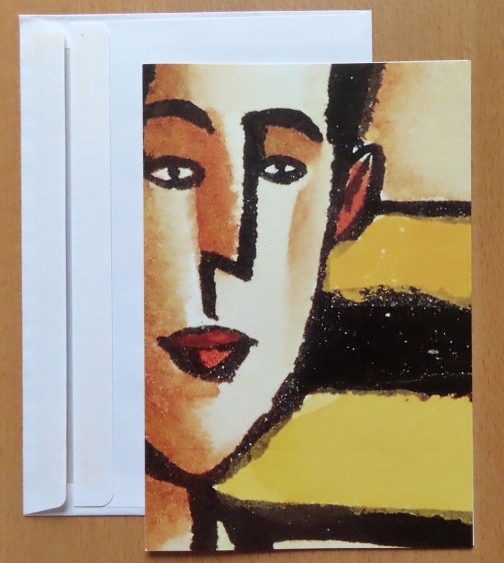
Loustal:
L'amateur d'Art.
Paris, Galerie Escale, 1992. Double carte au format 15 x 22, avec enveloppe, à l'état de neuf.
Bookseller reference : 26403
|
|
|
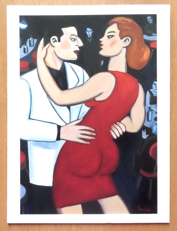
Loustal:
L'heure du rendez-vous.
Paris, Christian Desbois, 1993. Reproduction d'une huile sur toile de Loustal, au format 18 x 24 cm.
Bookseller reference : 26399
|
|
|
Loustal:
L'heure du rendez-vous.
Paris, Christian Desbois, 1993. Reproduction d'une huile sur toile de Loustal, sous cadre au format 20 x 26 cm.
Bookseller reference : 26695

|
|
|
LOVIE Jacques:
Savoie.
Paris, Librairie Arthaud, 1979. In-8 carré de 307 pages, pleine toile bleu ciel de l'éditeur sous jaquette à rabat illustrée d'une photographie en couleurs. Jaquette fatiguée, quelques accrocs.
Bookseller reference : 17258
|
|
|
LOZERE
Carte d?partementale couleurs au 1/200 000?me. Sans date.
Une feuille. 56x76 cm.
|
|
|
Luca Cerchiai, Fausto Longo, Lorena Jannelli
Greek Cities of Magna Graecia and Sicily
Book is in excellent condition but with lower corners bumped, one pretty hard, and impact marks at front fore edge, otherwise very clean. Binding is solid and square, covers have sharp corners, exterior shows no other blemishes, text/interior is clean and free of marking of any kind. Dust jacket shows the slightest signs of shelf wear only, no tears. 288 pages with a great many full color, often full page photos throughout of both current landscapes, with maps, floorplans, landscape drawings, detail maps of past and present cities, and art and architectural photos of the particular city, with a narrative from one of the four authors regarding the Greek colonization of southern Italy in the 8th and 7th centuries B.C., and the assimilation of Greek sensibilities and ideas into what eventually apppeared as the Roman Empire. Cities include: Those of the Fulf of Naples, Poseidonia, Paestum, Velia, Lokroi Epizephyrioi, Kroton, Sybaris, Thurii, Siris, Herakleia, Metapontion, Taranto, Naxos, Cela, Karmarina, Morcantina, Selinute, Herakleia Minoa, Segesta, Himera, Tindari, etc.

|
|
|
LUCA Gherasim
LE SORCIER NOIR. La Mise en formule d'une forme de Jacques Hérold.
Paris [l'auteur et l'artiste] 1962 In-8 En feuilles, sous emboitage de l'éditeur
Bookseller reference : 016229
|
|
|
Lucchesi Alexis Alor Josiane
Randonnées à pied et à VTT : Siou-Blanc Montrieux Les Morières
Editions Alain Barthelemy 2001 263 pages 13 4x1 8x20 4cm. 2001. Broché. 263 pages. Ce guide pratique présente des itinéraires de randonnée pédestre et de VTT dans la région naturelle du Siou-Blanc Montrieux et Les Morières au nord de Toulon dans le Var. Il couvre un vaste quadrilatère s'étendant de la Méditerranée au massif de la Sainte-Baume incluant huit unités naturelles distinctes comme la montagne de la Loube et le plateau de Thêmes. L'ouvrage comprend des cartes pour orienter les randonneurs dans cette région préservée
Bookseller reference : 6424

|
|
|
Lucien Brun
Mont Dauphin Mon Village - recueil de cartes postales anciennes de la citadelle construite par VAUBAN
Editions de Fournel 2004 73 pages 21 4x0 8x21 4cm. 2004. Broché. 73 pages.
Bookseller reference : 1732

|
|
|
Ludwig, Emil.
THE NILE. The Life-Story of a River. Translated by Mary H. Lindsay.
pp. xii, 619 + Maps and photographs. Paper beginning to brown but not brittle. 8vo. Original full cloth binding. Original dust jacket, very slightly worn. Hardbound. Reprint of the 1937 Viking Press edition. HOLY LAND BOX 1
|
|
|
LUFT Hans (1495 – 1584)
(Daniel's Dream Map)
Mappa intagliata in legno, contenuta in una pagina di testo di una Bibbia stampata a Wittenberg. Si tratta di una rara edizione di questa mappa un po' curiosa dell'Europa, dell'Africa e dell'Asia si trova nella letteratura apocalittica proveniente da Wittenberg nel 1530 o addirittura nel 1529. La mappa fu utilizzata per la prima volta dallo stampatore Hans Luft per illustrare due opere: una un commento sul profeta Daniele di Martin Lutero (1530) e un'altra che collega la visione di Daniele con gli assalti dei turchi ai confini dell'Europa cristiana dell'epoca. La mappa raffigura le quattro bestie del sogno di Daniele. La “mappa del mondo di Wittenberg”, più comunemente nota con il termine inglese di Daniel's Dream Map, è probabilmente la mappa del mondo più mistica di tutti i tempi. All'epoca della sua prima pubblicazione come il sessantunesimo mappamondo che andò in stampa, era, da un lato, una rappresentazione del Vecchio Mondo, basata sulla visione tolemaica del mondo, ma comprendente una serie di recenti scoperte spagnole e portoghesi, ma dall'altro, una visualizzazione del sogno apocalittico del profeta Daniele dei quattro regni. Ci sono quattordici diverse versioni della mappa del sogno di Daniele, tutte realizzate con la tecnica della xilografia. Secondo Ernst Gallner questa è la prima versione della mappa: “La prima menzione della mappa del sogno di Daniele viene fatta in un commento al profeta Daniele da parte di Justus Jonas e Philipp Melantone nel dicembre 1529 e subito dopo nel gennaio 1530 in una interpretazione del libro del profeta Daniele di Martin Lutero, entrambi pubblicati da Hans Lufft a Wittenberg. Da questo momento in poi, la mappa appare in una serie di Bibbie luterane, tedesche o di influenza tedesca e in libri teologici del XVI secolo fino alla metà del XVIII secolo, e in un libro sulla storia degli ebrei di Flavio Giuseppe. Queste varianti successive riproducono in parte l'originale, per cui alcuni degli artisti, contrariamente al desiderio di precisione geografica dell'epoca, alterano sempre più i contorni dei continenti, con aspetti visionari che hanno la precedenza sulla corretta rappresentazione cartografica. L'unica variante che si presenta in una Bibbia latina è una mappa schematica e astratta di Tobias Stimmer. Silografia, finemente colorata a mano, in ottimo stato di conservazione. Rara. Woodcut map with fine colouring, set in a text page of a Bible printed in Wittenberg. A rare edition of this somewhat curious map of Europe, Africa, and Asia is to be found in apocalyptic literature originally emanating from Wittenberg in 1530 or even 1529. The map was first used by the printer Hans Luft to illustrate two works: one a commentary on the prophet Daniel by Martin Luther (1530) and another linking the vision of Daniel with the assaults of the Turks on the perimeters of Christian Europe at the time. The wood cut map is showing the four beasts of Daniel's Dream Map. The Wittenberg World Map, more commonly known in English as Daniel’s Dream Map, is probably the most mystical world map of all time. At the time of its first publication as the sixty-first world map to go into print, it was, on the one hand, a depiction of the Old World, based on the Ptolemaic world view but including a number of recent Spanish and Portuguese discoveries, but on the other, a visualization of the prophet Daniel’s apocalyptic dream of the four kingdoms. There are fourteen different versions of Daniel’s Dream Map, with twenty printing blocks. All the versions are produced in woodcut technique. According to Ernst Gallner this is the first version of the map “The first mention of Daniel’s Dream Map is made in a commentary on the prophet Daniel by Justus Jonas and Philipp Melanchthon in December 1529 and immediately afterwards in January 1530 in an interpretation of the book of the prophet Daniel by Martin Luther, both published by Hans Lufft in Wittenberg. This version is referred to in the following as the original version. From this time on, the map appears in a number of Lutheran, German or German-influenced bibles and theological books of the 16th up to the mid.18th century, and in a book on the history of the Jews by Flavius Josephus. These later variants partially copy the original, whereby some of the artists, contrary to the wish of the time for geographical accuracy, increasingly alter the outlines of the continents, with visionary aspects taking precedence over correct cartographic depiction. The only variant to occur in a Latin bible is a schematic, abstract map by Tobias Stimmer” (cfr. The Wittenberg World Map). R. W. Shirley, "The Mapping of the world", 65A; Kaarten in Bijbels, W.C. Poortman and J. Augusteijn, 1995; Eine Wittenberger Weltkarte aus dem Jahr 1529, W. Bonacker und H. Volz, 1956.

|
|
|
Luis Alejos, textos, fotos y mapas
Rutas Pyrenaica, publicación de la Federación Vasca de Montaña N° 8 ; 1986 : Pica de Estats-Puigmal,
Eusk-322, Federación Vasca de Montaña, Bilbao 1986
Bookseller reference : 1725610687588
|
|
|
Lumi Planos
Rutas y ciudades Argentinas [edición en español]
Ediciones Lumi Planos, Argentina. 19 cm ; kart.
Bookseller reference : 114686

|
|
|
LUNEVILLE
Carte d'Etat-Major au 1/200 000?. Fin XIXe.
1 feuille repli?e. 32x49 cm.
|
|
|
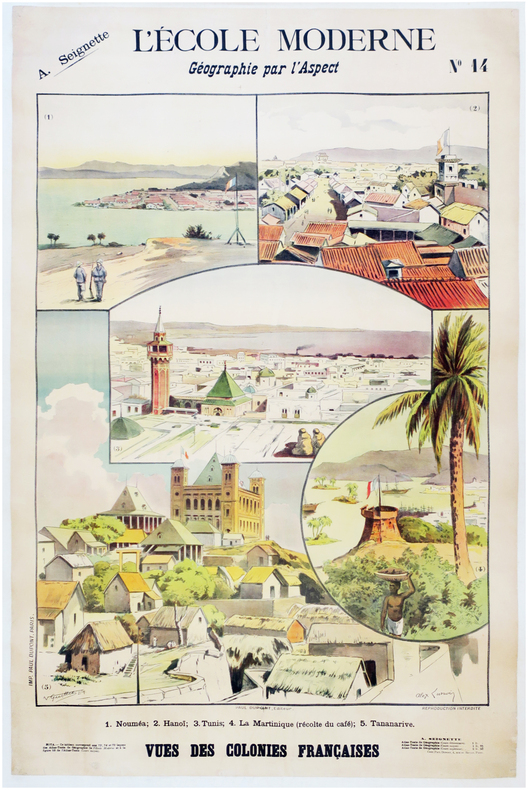
LUNOIS (Alexandre) & SEIGNETTE (Adrien).
L'École moderne. Géographie par l'aspect. N°14. Vues des colonies françaises.
Paris, Paul Dupont, [1900]. 1,22 x 0,85 m ; montée sur toile.
Bookseller reference : LBW-7873
|
|
|
Luraschi Diego
Da Chiasso ad Airolo in 14 ore
Pregassona Fontana edizioni 2002 ,IN4 jacquette illustree;guida di viaggio, itinerari, Svizzera 29,5x23,5 cm., legatura in piena tela con sovraccoperta illustrata, pagg.200, numerose illustrazioni in nero e a colori, in italiano, prima edizione, ottime condizioni.
Bookseller reference : 16484
|
|
|
LURET Jean-Louis
COMMENT FAIRE PARLER LES CARTES SUIVANT LA TRADITION EGYPTIENNE
1970 plaquette marron clair in-douze carré (booklet duodecimo), première de couverture illustrée en couleurs (front cover illustrated in colours), tranches lisses (smooth edges), illustrations : 2 figures in texte (pictures in text), 16 pages, sans date (no date) (les années 1940 environ) à Paris Imprimerie Spéciale des Editions Ratier,
Bookseller reference : 9521
|
|
|
LUTTRINGSHAUSEN (Johann Heinrich).
Hâvre. Vue de l'entrée du bassin de la Barre.
[circa 1820]. 240 x 290 mm.
Bookseller reference : LBW-564
|
|
|
LYME REGIS
Ten Miles round Lyme Regis. A Large Scale Map specially prepared for the Use of Walkers and Ramblers. IN ORIGINAL WRAPPERS
Map on paper measuring 15 x 20 ins (approx. 38 x 50 cms) folding in 8 panels to 7.5 x 5 ins (approx. 19 x 12.75 cms); original printed wrappers, contemporary signature on front wrappers, upper hinge tender else a very good, clean copy.

|
|
|
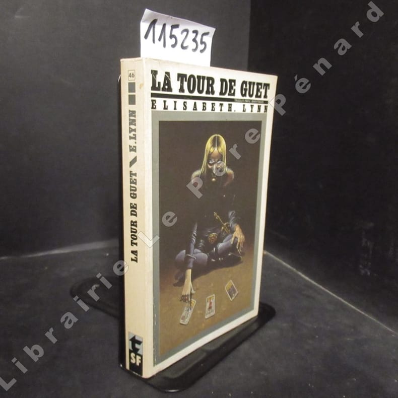
LYNN, Elisabeth
La tour de guet
1981 Editions Lattès, Collection "Titres/SF" - 1981 - In-12, broché, couverture illustrée - 251 p.
Bookseller reference : 115235
|
|
|
LYON N? 3-4
Carte au 1/25 000e d'Ecommoy. (Montanay, Sathonay, Miribel, Thil, Les Echaneaux, Mionnay...)
Une feuille 72x56 cm.
|
|
|
Lécuyer Frédéric
LA CHAINE DES PUYS
DE BOREE 2020 21x29 8x0 3cm. 2020. Broché.
Bookseller reference : 500116213

|
|
|
Lécuyer Frédéric
LA CHAINE DES PUYS
De Boree 2020 21x29 8x0 3cm. 2020. Broché.
Bookseller reference : 500391308

|
|
|
LÓPEZ GÓMEZ, Antonio y MANSO PORTO, Cármen.
Cartografía del Siglo XVIII. Tomás López en la Real Academia de la Historia.
Madrid, 2006. Folio; 586 pp., 1 h. Encuadernación original en cartoné.

|
|
|
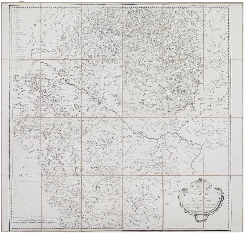
LÓPEZ y VARGAZ MACHUCA (Tomás).
[ARAGON] Mapa del Reyno de Aragón.
Madrid, 1765. En 24 sections montées sur toile et repliées, formant une carte de 805 x 832 mm ; étiquette de l'éditeur parisien Charles Picquet au dos, onglet de vélin numéroté en manuscrit.
Bookseller reference : LBW-8661
|
|
|
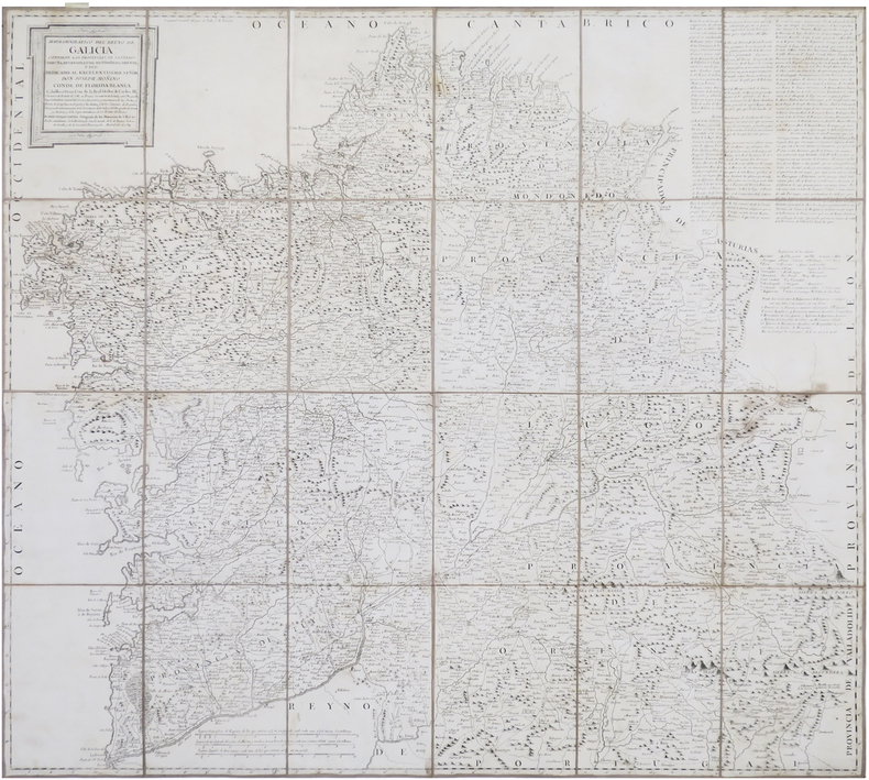
LÓPEZ y VARGAZ MACHUCA (Tomás).
[GALICE] Mapa geográfico del Reyno de Galicia. Contiene las provincias de Santiago, Coruña, Betanzos, Lugo, Mondoñedo, Orense, y Tuy.
Madrid, 1784. En 24 sections montées sur toile et repliées, formant une carte de 778 x 841 mm ; étiquette de l'éditeur parisien Charles Picquet au dos, onglet de vélin numéroté en manuscrit.
Bookseller reference : LBW-8660
|
|
|
LÓPEZ y VARGAZ MACHUCA (Tomás).
[PAYS BASQUE/ALAVA] Mapa de la M.N. y M.L. Provincia de Álava. Comprehende las quadrillas de Vitoria, Salvatierra, Ayala, Guardia, Zuya, Mendoza, y sus cinquenta y tres ermandades.
Madrid, 1770. En 6 sections montées sur toile et repliées, formant une carte de 387 x 400 mm ; étiquette de l'éditeur parisien Charles Picquet au dos, onglet de vélin numéroté en manuscrit.
Bookseller reference : LBW-8659

|
|
|
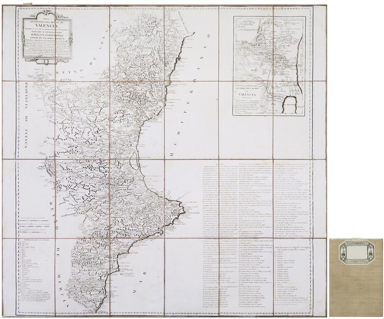
LÓPEZ y VARGAZ MACHUCA (Tomás).
[VALENCE] Mapa geográfico del Reyno de Valencia, dividido en sus trece gobernaciones ò partidos.
Madrid, 1788. En 24 sections montées sur toile et repliées, formant une carte de 803 x 830 mm ; étiquette de l'éditeur parisien Charles Picquet au dos, onglet de vélin numéroté en manuscrit.
Bookseller reference : LBW-8658
|
|
|
LÓPEZ, Tomás (1730-1802).
Principios Geográficos aplicados al uso de los Mapas. Tomo Segundo.
Madrid, por Don Joachin Ibarra, 1783 4to. menor; XII pp., 334 pp. y 4 láminas. Ejemplar falto de portada, 4 hojas de preliminares y la hoja XIII-XIV. Buen estado general. Encuadernación de época, en piel con tejuelo.

|
|
|
Löhr, Max
Israel Kulturentwickelung
8' 147pp. rebound hardcover. cover slightly worn. some staines on front-edge. some pencil marks on edges. ex libris with usual marks. a few b/w illustrations. else in good condition.
|
|
|
Löwenberg, Julius und F. Silber:
Hamburg zur Übersicht des grossen Brandunglücks vom 5.-8. Mai 1842. Lithographie von F. Silber nach der Zeichnung von Löwenberg.
Format (Bildbereich): 27,5 x 35 cm. Blattgröße: 33 x 41 cm. Leichte geglättete Falzspuren. *Zeitgenössischer Plan mit derstellung der betroffenen Brandbereiche. - Der Hamburger Brand war ein großer Stadtbrand in Hamburg, der zwischen dem 5. Mai und dem 8. Mai 1842 große Teile der Altstadt zerstörte. Im Zusammenhang mit der Hamburger Geschichte wird häufig auch nur vom Großen Brand gesprochen. Das Feuer war noch in einer Entfernung von über 50 Kilometern sichtbar. Graphiken de
|
|
|
LÜDDECKE, R.
Afrika in 6 Blättern. Mit einem vollständigen Namenverzeichnis.
Gotha, Justus Perthes, o.J. (Ca. 1890). Small folio. (33x22 cm.). Orig. full cloth, gilt lettering with title on frontcover. Small tears to backstrip, edges with light wear. 23 pp. and Africa-map 100x85,5 cm. coloured and folded, mounted on cloth. The map in fine condition.
|
|
|
LÜDDECKE, R.
Afrika in 6 Blättern. Mit einem vollständigen Namenverzeichnis.
Gotha, Justus Perthes, o.J. (Ca. 1890). Small folio. (33x22 cm.). Orig. full cloth, gilt lettering with title on frontcover. Small tears to backstrip, edges with light wear. 23 pp. and Africa-map 100x85,5 cm. coloured and folded, mounted on cloth. The map in fine condition.
Bookseller reference : 36348
|
|
|
L’ISLE , Guillaume de
L'Amerique Meridionale. Dressee sur les observations de Mrs. de l'Academie Royale des Sciences & quelques autres, & sur les Memoires les plus recens. Par G. de l'Isle, Geographe. A Paris, chez l'Auteur sur le Quai de l'Horloge, avec Privilege du Roy, pour 20. ans, 1700
Carte gravée en couleur ,elle affiche les parcours de Magellan, Schouten, Medana, Sarmiento, le Maire, Gallego, Olivier et Drake. Comprend des notes sur les découvertes de divers lieux, par exemple, "I. d'Anycon decouvertes en 1705." "Avertissement. Te rend raison dans ma Nouvelle Introduction à la Géographie des changements que j'ai faits sur cette carte." Cartouche de titre ornemental, 50cmx60xm , réparations , papier légèrement gondolé , petit manque .
Bookseller reference : PHO-1102

|
|
|
M Tait, Maps by F D King
Yorkshire: Its Scenes Lore and Legends. Elaborated from an Essay Written for the Bradford Geographical Exhibition. With Contour Maps of River Valleys Geological Map Large Folding Map of Whole County and a Map of Roman Yorkshire
E J Arnold Leeds 1888. First Edition. Hardcover. Very Good Condition/No Dust Jacket. Illustrator: F D King. Small slim green volume with black lettering and decoration is lightly sunned on the spine. Sound binding clean pages black and white plates and crisp intact fold-out maps. 100 pages plus fold-out maps. No dust jacket as published. Illustrator: F D King. Quantity Available: 1. Shipped Weight: under 1 kg. Pictures of this item not already displayed here available upon request. Inventory No: 50324121078. All our books music and maps are sent by a tracked mail service. E J Arnold hardcover
Bookseller reference : 50324121078
|
|
|
M. Allain et H. Hauser
Le guide de l'élève
Librairie Félix Alcan Sans date. Manuel de géographie destiné aux écoles primaires supérieures (première année) publié en 1921 faisant partie d'un cours qui couvre le monde en excluant l'Europe. Le contenu mentionne des critiques sur certains titres jugés confus pour de jeunes élèves
Bookseller reference : 500344013

|
|
|
M. Duhamel du Monceau.
Art du Cartier. [Extract from Descriptions des Arts et Metiers.] 1762
S.l., , 1762 Modern paperbound, 38pp., avec 5 full pages planches gravees hors texte, in-folio 42.5x27.5cm, bon etat.
Bookseller reference : 35318
|
|
|
M. Lebel
Bridge / memento de compétition
Editions du Rocher 1990 58 pages in12. 1990. Broché. 58 pages.
Bookseller reference : 4525

|
|

 Receive by email
 Download as PDF document
 RSS feed
 Permanent link


