|
MALTE-BRUN (Conrad).
Etats Unis et grandes Antilles.
[1812]. 299 x 221 mm.
Bookseller reference : LBW-799

|
|
|
MALTE-BRUN (Conrad).
Océanique.
[1812]. 215 x 290 mm.
Bookseller reference : LBW-593
|
|
|
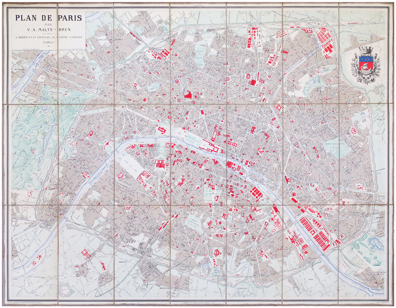
MALTE-BRUN (Victor Adolphe).
Plan de Paris.
Paris, J. Rouff et C.ie, [1893]. En 21 sections montées sur toile et pliées, formant un plan de 0,81 x 1,03 m.
Bookseller reference : LBW-6861
|
|
|
MALTE-BRUN - Plans et cartes gravés par ERHARD. Illustrations in et hors texte de CLERGET.
l'ALLEMAGNE ILLUSTREE. Tome 2 seul; texte frais, Plans et cartes gravés par ERHARD. Illustrations in et hors texte de CLERGET.
ROUFF,1887, comprenant : Tome 2 :un volume grand in-8 (19 cm X 28 cm). Demi reliures plats frottés, Tome II:Grand-Duché de Hesse, de Bade,Etats de la Thuringe,Grand-Duché de Mecklembourg-Schwerin,Grand-Duché de Mecklembourg-Strelitz,Duché de Brunswick,Duché d'Anhalt,Principautés de Waldeck,de Lippe, de Lippe-Schaumbourg et Grand- Duché d'Oldenbourg-villes hanseaniques 21 gravures H.T, nb in texte, et 21 cartes et plans H.T en double page.586+72 p., texte frais
Bookseller reference : 21870

|
|
|
MALTE-BRUN V.A
L’Allemagne illustrée géographie,histoire,administration, statistique.
5 volumes petit in 4 demi-cuir marron à nerfs,tomaison, fers,filets dorés.Texte sur 2 colonnes,très nombreuse illustrations par Hubert CLERGET dans et hors texte Très nombreuses cartes et plans en couleurs, la plupart sur double page,gravés par ERHARD Jules Rouff & Cie 1888,très bon état.Tome I: Avant-propos des auteurs et bibliographie ayant servie à l'élaboration de cette collection,Etude Générale,Villes Hanséatiques,Etats Hambourgeois,Lubeckois, Brêmois et Alsace-Lorraine-Tome II:Grand-Duché de Hesse, de Bade,Etats de la Thuringe,Grand-Duché de Mecklembourg-Schwerin,Grand-Duché de Mecklembourg-Strelitz,Duché de Brunswick,Duché d'Anhalt,Principautés de Waldeck,de Lippe, de Lippe-Schaumbourg et Grand- Duché d'Oldenbourg-Tome III: Royaumes de Bavière,de Saxe et de Wurtemberg-Tome IV:Etude Générale de la Prusse,PrusseRhénane,Brandebourg, Prusse Orientale,Prusse Occidentale,Poméranie-Tome V:Posnanie, Silésie,Saxe(Province de),Schleswig-Holstein,Westphalie, Hesse-Nassau,Hanovre,Hohenzollern Complet en cinq volumes.Rousseurs éparses plus ou moins fotres.Plus concentrées à certaines pages,quelques palts légèrement frottés . Bon ensemble, très solide,coloris frais
Bookseller reference : 3742

|
|
|
Malyon, Major F.H.; Burton-Warnock, J.; Bailey, Hiram P.; Vivian, Herbert; Stent, Vere; Siringo, C.; tench, C.; Lloyd-Watkins, H.; Hogg, J.McMillan, R.; Tucker, F. Booth
The Wide World Magazine - True Stories of Adventure, December (Dec.) 1926, Vol. LVIII, No. 344 - Mussolini's War Against the Mafia
Pages 86-168+ 20 pages of nice ads, including photo of Earle E. Liederman, "The Muscle Builder". Features: Mazulla and His Sahib, part 1 - moving Indian adventures, with photos; Neilson's New Man -a story of country life in New Zealand; The Tale-Teller of Algiers - the strange adventure of a visitor to Algiers in October, 1925; Mussolini's War Against the Mafia in Sicily - describes the first stage of the great 'clean-up' - a most dramatic and exciting business - article with photos of Police Commissioner Spano, Signor Mori of Palermo, Gaetono Ferrarello, Carmelo Andaloro, Salvatore Ferrarello, and Nicolo Andaloro; Mr. Stepper, I.D.B. - a diamond story; The Trouble in Coeur D'Alene - part 2 - going undercover to investigage labor-management conflict in the mining district of Northern Idaho - with photos; "Free-Trading" in the Arctic - great photo-illustrated article about white traders living in remote Indian and Eskimo territories; Photo of Korean wedding; One Thing After Another - troubles on the Inyoka Tobacco Estate in Rhodesia, with photo of author and trouble-making jackal; Across North America in a Motor-Boat, part 4 of this record-setting 6,000 mile trip - with maps and photos; The Cleverest Thieves on Earth - The Criminal Tribes of India - a photo-illustrated account of the 'crims' and their hereditary war against society. Above-average external wear. A worthy vintage copy. Book

|
|
|
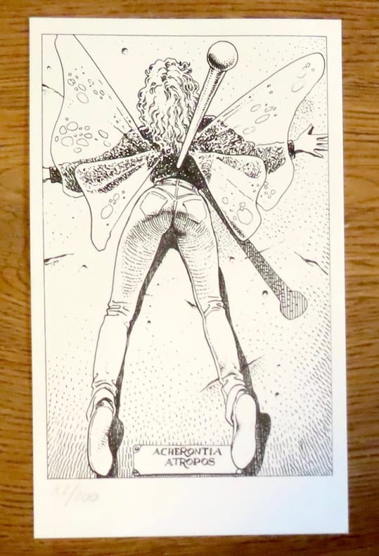
Manara:
Petite sérigraphie en noir. Acherontia Atropos.
Sérigraphie au format 12 x 20.
Bookseller reference : 19238
|
|
|
Manara:
Petite sérigraphie en noir. Acherontia Atropos.
Sérigraphie au format 12 x 20, légèrement jaunie en bords.
Bookseller reference : 26116

|
|
|
Manchester Evening News Motoring Correspondent
Let's go for a Run
No marks or inscriptions. Minor creasing to first few pages. A very clean very tight copy with bright unmarked boards and rusty staples. 72pp. Reprinted motor runs from and around Manchester by the Manchester Evening News Motoring Correspondent.

|
|
|
Manchester Evening News Motoring Correspondent
Let's go for a Run
No marks or inscriptions. No creasing to covers. A very clean very tight copy with bright unmarked boards and no bumping to corners. 80pp. Reprinted motor runs from and around Manchester by the Manchester Evening News Motoring Correspondent.

|
|
|
Manchester Evening News Motoring Correspondent
Let's go for a Run
No marks or inscriptions. No creasing to covers. A very clean very tight copy with bright unmarked boards and no bumping to corners. 68pp. Reprinted motor runs of 1969 from and around Manchester by the Manchester Evening News Motoring Correspondent.

|
|
|
Manchester Evening News Motoring Correspondent
Who's for a Lovely Run
No marks or inscriptions to contents. Very minor creasing to covers. A very clean very tight copy with slightly marked rear board, rusty staples and no bumping to corners. 40pp. Reprinted motor runs from and around Manchester by the Manchester Evening News Motoring Correspondent. Undated but Jodrell Bank is stated now to be complete and it was finished in 1957.

|
|
|
MANCHESTER REGION.
Motoring and Hiking Map [of Manchester region]. including Accrington, Birkenhead, Blackburn, Burnley, Chester, Crewe, Liverpool, Macclesfield, Manchester, Oldham, Preston, Stockport, Wrexham. NEAR FINE COPY IN PICTORIAL WRAPPERS
Folding map on paper, coloured in outline, measuring 26.0 x 22.0 ins (approx. 66.0 x 55.5 cms) folding in 20 panels to 7.25 x 5.0 ins (apporox. 18.5 x 12.5 cms); pictorial wrappers, yapped edges, a near fine copy. SCARCE.

|
|
|
Mander, David
Old Ordnance Survey Maps : Bethnal Green & Bow 1914 : London Sheet 52
No marks or inscriptions. A very clean very tight fold-out map with bright unmarked uncreased cover and no bumping to corners. pp. Map of the Bethnal Green and Bow areas of London from 1914. Detailed description on reverse side.
|
|
|
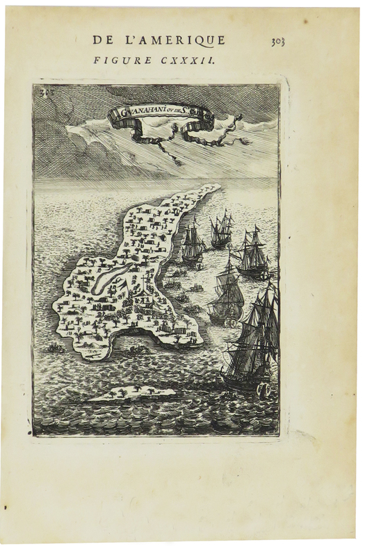
MANESSON-MALLET (Allain).
[BAHAMAS] I. de Guanahani ou de S.t Salvador.
[1683]. 139 x 97 mm.
Bookseller reference : LBW-5443
|
|
|
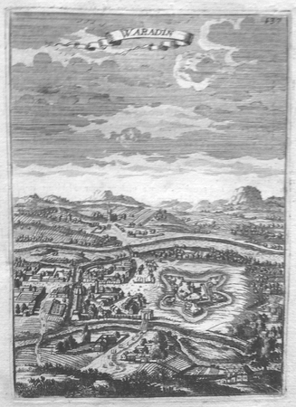
MANESSON-MALLET (Allain).
[CROATIE] Waradin.
[1683]. 147 x 104 mm.
Bookseller reference : LBW027b0
|
|
|
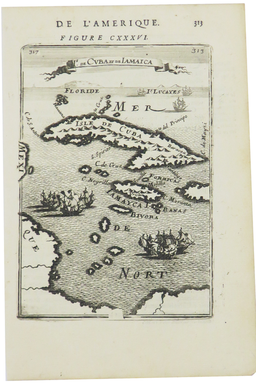
MANESSON-MALLET (Allain).
[CUBA] Is. de Cuba et de Jamaica.
[1683]. 151 x 104 mm.
Bookseller reference : LBW0249e
|
|
|
MANESSON-MALLET (Allain).
[EGYPTE] Egypte moderne.
[1683]. 138 x 98 mm.
Bookseller reference : LBW01b46
|
|
|
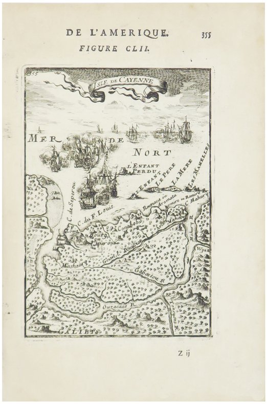
MANESSON-MALLET (Allain).
[GUYANE] Isle de Cayenne.
[1683]. 143 x 99 mm.
Bookseller reference : LBW0248c
|
|
|
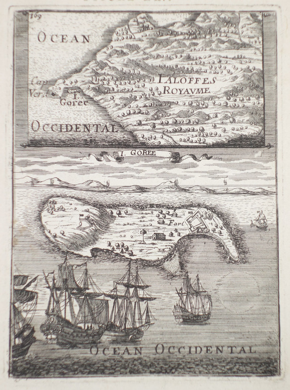
MANESSON-MALLET (Allain).
[ILE de GOREE] I. Gorée.
[1683]. 142 x 103 mm.
Bookseller reference : LBW-2314
|
|
|
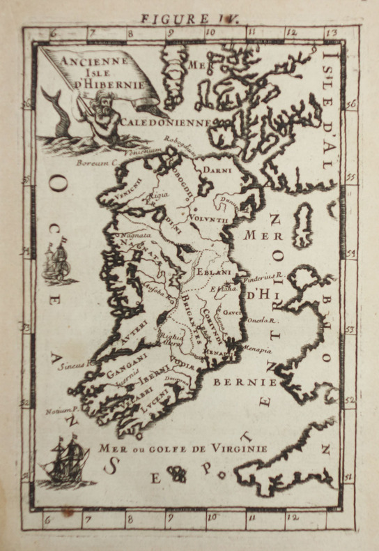
MANESSON-MALLET (Allain).
[IRLANDE] Ancienne isle d'Hibernie.
[1683]. 147 x 97 mm.
Bookseller reference : LBW-2318
|
|
|
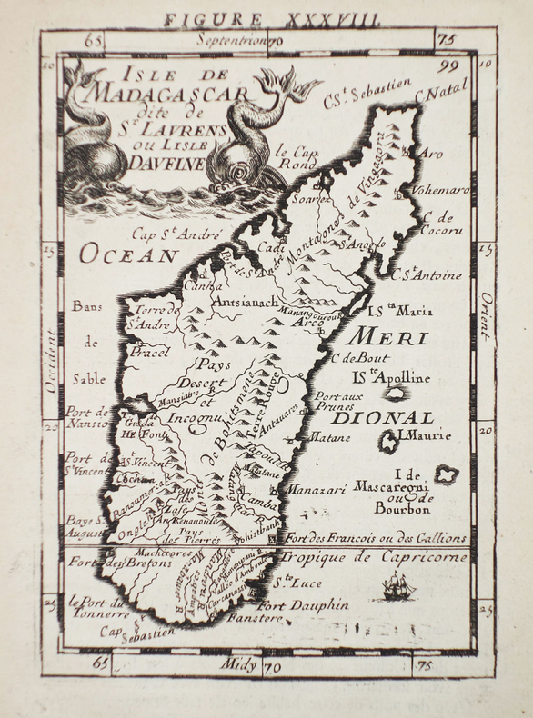
MANESSON-MALLET (Allain).
[MADAGASCAR] Isle de Madagascar dite de St Laurens ou l'isle Daufine.
[1683]. 140 x 98 mm.
Bookseller reference : LBW-2312
|
|
|
MANESSON-MALLET (Allain).
[MALTE] Isle de Malthe.
[1683]. 140 x 99 mm.
Bookseller reference : LBW-2311

|
|
|
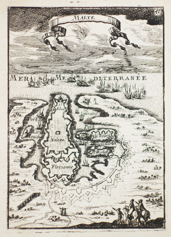
MANESSON-MALLET (Allain).
[MALTE] Malte.
[1683]. 140 x 100 mm.
Bookseller reference : LBW-2310
|
|
|
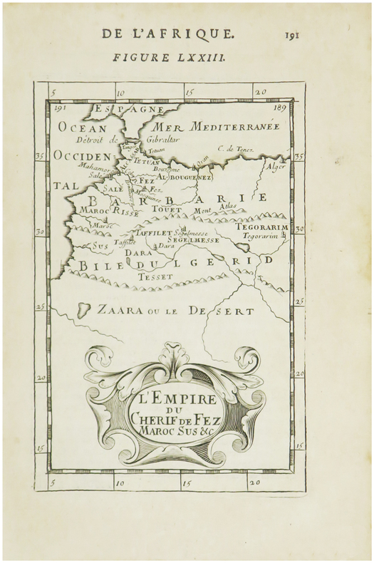
MANESSON-MALLET (Allain).
[MAROC] L'Empire du Cherif de Fez Maroc sus &c.
[1683]. 153 x 102 mm.
Bookseller reference : LBW01b47
|
|
|
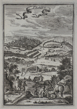
MANESSON-MALLET (Allain).
[REPUBLIQUE TCHEQUE] Prague.
[1683]. 142 x 98 mm.
Bookseller reference : LBW0252e
|
|
|
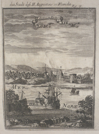
MANESSON-MALLET (Allain).
[SAINT-AUGUSTINE] St Augus de Floride.
[1684]. 143 x 103 mm.
Bookseller reference : LBW024d1
|
|
|
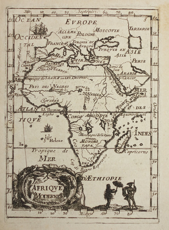
MANESSON-MALLET (Allain).
Afrique moderne.
[1683]. 144 x 104 mm.
Bookseller reference : LBW-2320
|
|
|
MANESSON-MALLET (Allain).
Canada ou Nouvelle France.
[1683]. 140 x 100 mm.
Bookseller reference : LBW024d2

|
|
|
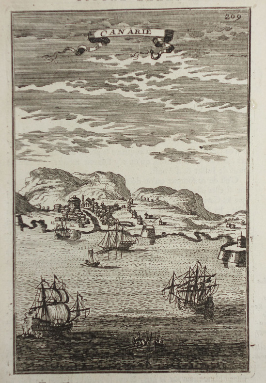
MANESSON-MALLET (Allain).
Canarie.
[1683]. 149 x 97 mm.
Bookseller reference : LBW-2316
|
|
|
MANESSON-MALLET (Allain).
Guinée.
[1683]. 141 x 102 mm.
Bookseller reference : LBW-2321

|
|
|
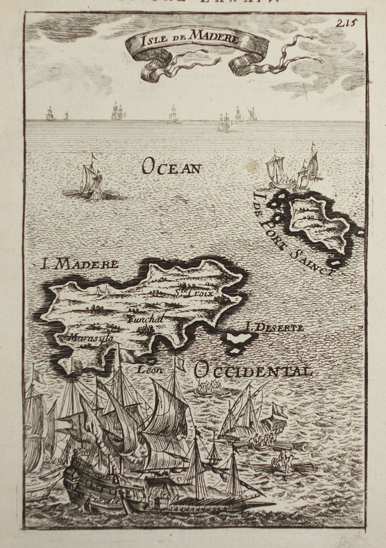
MANESSON-MALLET (Allain).
Isle de Madère.
[1683]. 144 x 95 mm.
Bookseller reference : LBW-2317
|
|
|
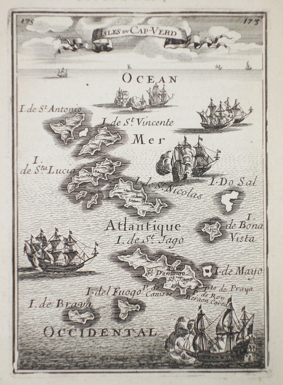
MANESSON-MALLET (Allain).
Isles du Cap-Verd.
[1683]. 143 x 104 mm.
Bookseller reference : LBW-2315
|
|
|
MANESSON-MALLET (Allain).
Monomotapa et la Cafrérie.
[1683]. 148 x 101 mm.
Bookseller reference : LBW024b5

|
|
|
MANESSON-MALLET (Allain).
PALERME.
[1683]. 140 x 98 mm.
Bookseller reference : LBW02e76
|
|
|
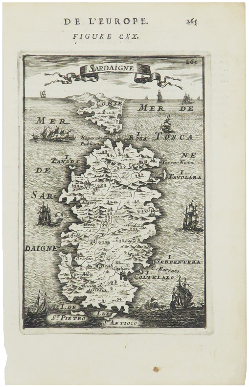
MANESSON-MALLET (Allain).
Sardaigne.
[1683]. 145 x 98 mm.
Bookseller reference : LBW00254
|
|
|
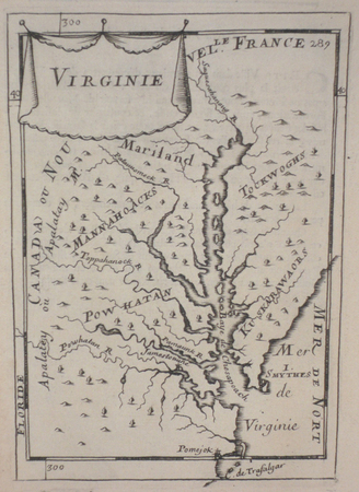
MANESSON-MALLET (Allain).
Virginie.
[1683]. 149 x 103 mm.
Bookseller reference : LBW024cc
|
|
|
Mannert, Conrad
Helvetien nach den zuverlässigsten astronomischen Bestimmungen, aus den Charten von Weisse, Bacler d'Albe, Mallet, Feer, und andern einzelnen Blättern zusammengesezt von Conrad Mannert. [Altkolorierter Original-Kupferstich / original colored copper engraving].
o.J. Konrad Mannert, geboren am 17. April 1756 in Altdorf bei Nürnberg, gestorben am 27. September 1834 in München. Historiker und Geograph. [2 Warenabbildungen]
Bookseller reference : 12043DB

|
|
|
Manning, Conleth
Rock of Cashel : Co. Tipperary
No marks or inscriptions. No creasing to covers or to spine. A very clean very tight copy with bright unmarked boards, the tiniest of rubs to lower front edge and no bumping to corners. 44pp. Guide to the Rock of Cashel in Tipperary, Ireland. Well illustrated.

|
|
|
MANOYER (François).
[TOULON] La Flotte française en rade de Toulon. Visite du Président de la République et de l'escadre italienne.
Toulon, Clavel, [1890]. 266 x 747 mm.
Bookseller reference : LBW-6429

|
|
|
Mansfeld, Johann.
Grundriß der Stadt Wien 1812. Vienna, Artaria, 1812.
630:780 mm. Engr. map in original colour. Original Biedermeier frame with four brass corner fittings. This city map showing 1317 houses with their respective numbers was first published in 1802 as "Historischer Grundriß der Stadt Wien". It also shows two small historical plans (during the second Turkish siege in 1683 and in the 12th century). - Formerly owned by Katharina Schratt and removed from the so-called Schratt Villa in Hietzing's Gloriettegasse; cf. the written statement by the heirs of the map's last owner, the collector Josef Ringer (1916-2008). Eckl coll. IV, 755. Not in Mayer coll.

|
|
|
MANSO PORTO, Carmen.
Cartografía Histórica de América. Catalogo de Manuscritos de los Siglos XVIII y XIX. Presentación de Antonio López Gómez.
Madrid, 1997. Folio; XXXII pp., 143 pp., 1 h., con 108 reproducciones en color de mapas. Cubiertas originales.

|
|
|
MANSO PORTO, Carmen.
Cartografía Histórica Portuguesa. Catálogo de Manuscritos de los Siglos XVII y XVIII.
Madrid, 1999. Folio; 170 pp. Con reproducción de mapas en color. Cubiertas originales.

|
|
|
MANUSCRIPT MAP.
Grund Tegning af Fästningen og Castellet i Leystad.
No place and date (probably Denmark, late 18th century). Hand painted map in ink and water colour. 26,5 x 41 cm. Silver frame. Overall slightly foxed.
Bookseller reference : 39180
|
|
|
MANUSCRIPT MAP.
Grund Tegning af Fästningen og Castellet i Leystad.
No place and date (probably Denmark, late 18th century). Hand painted map in ink and water colour. 26,5 x 41 cm. Silver frame. Overall slightly foxed.
|
|
|
MANUSCRIPT MAP.
Slaget wed Zornsdorff den 25de Augusti 1758.
No place and date. (probably Denmark late 18th century). Handpainted map in ink and watercolour. 25 x 41 cm. In silver frame. Slightly foxed overall.
Bookseller reference : 39179
|
|
|
MANUSCRIPT MAP.
Slaget wed Zornsdorff den 25de Augusti 1758.
No place and date. (probably Denmark late 18th century). Handpainted map in ink and watercolour. 25 x 41 cm. In silver frame. Slightly foxed overall.
|
|
|
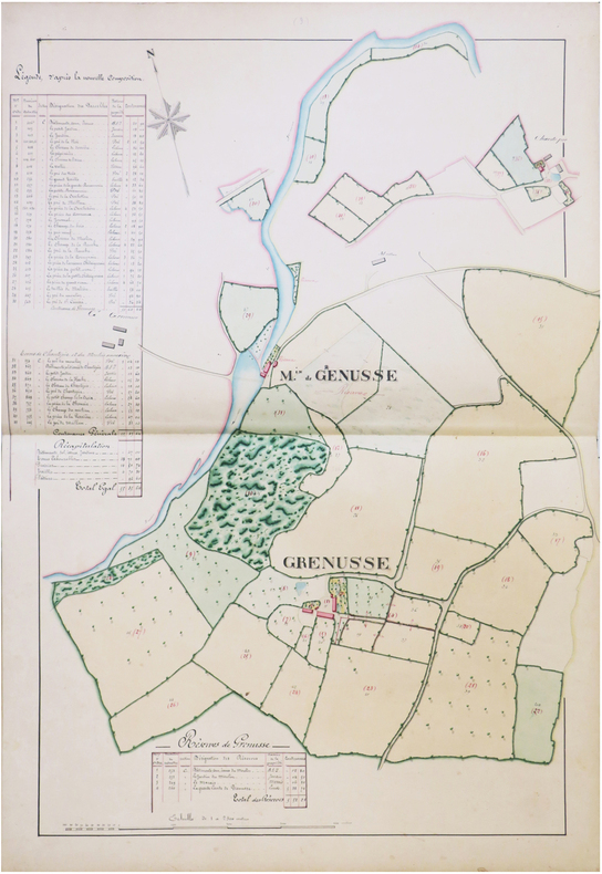
MANUSCRIT.
[ARGENTRÉ/MAYENNE] Atlas des propriétés composant la Terre d'Argentré, sous Laval, appartenant à Monsieur le Comte de Cintré. Les plans ont été rectifiés conformément à la nouvelle composition des fermes, par Louis Duluard, expert-géomètre, à Château-Gontier, le 1er octobre 1875.
Château-Gontier, 1875. In-folio ; demi-basane verte, dos lisse muet, étiquette de titre sur le premier plat (reliure de l'époque).
Bookseller reference : LBW-8229
|
|
|
MANUSCRIT.
[AUBE] Extrait du plan parcellaire de la commune de Barberey S.t Sulpice. Plan du château de Barberey S.t Sulpice et de ses environs appartenants à Monsieur Bruslé, préfet du département de l'Aube, Officier de la Légion d'Honneur.
[vers 1805]. En deux feuilles jointes formant un plan de 660 x 590 mm.
Bookseller reference : LBW-8228

|
|
|
MANUSCRIT.
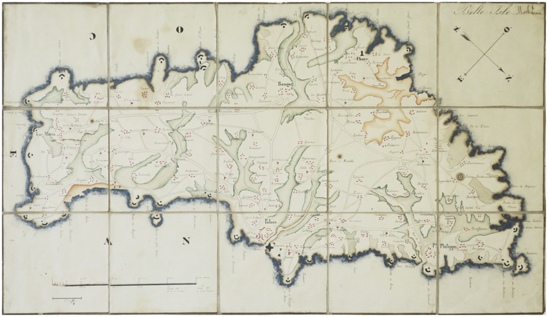
[BELLE-ÎLE-en-MER] Belle Isle. Morbihan.
[milieu du XIXe siècle]. En 15 section montées sur toile et repliées, formant une carte de 242 x 430 mm.
Bookseller reference : LBW-8230
|
|

 Receive by email
 Download as PDF document
 RSS feed
 Permanent link


