|
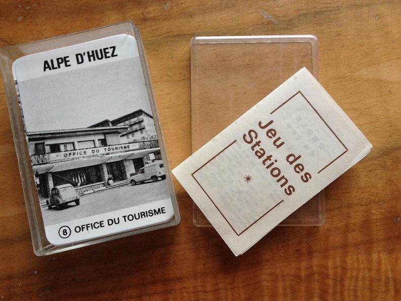
MAROBER Editeur. ( JEU de cartes ) Jeux Olympiques de 1968.
JEU DES STATIONS.
1969 Marober . France. Editeur ( juin 1969 ). Jeu de 64 cartes illustrées de photographies en noir et blanc des stations olympiques de 1968. ( Grenoble; Alpe d'Huez; Les Deux Alpes; Chamrousse ; Autrans; Villard de Lans; Val d'Isère; Pralognan ) . chaque station avec 8 vues différentes. bien complet de la règle du jeu . parfait état intérieur. édition simple ne comportant que les cartes , dans une boîte plastique transparente avec règle du jeu.
Bookseller reference : 2413
|
|
|
MAROC. . .
Carte en couleurs extraite de l'Atlas Universel. Sans date.
1 feuille 50x40 cm. Pli central.
|
|
|
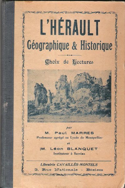
MARRES Paul , BLANQUET Léon
L'HERAULT Géographique & Historique : Choix De Lectures . Complet De ses Pages Dépliantes En Fin D'ouvrage
Ancien livre d'école avec son dos en percaline . Complet de sa carte géologique dépliante et de ses cartes : historique et tableaux chronologiques . Illustré de photographies en noir et blanc . Cartes et plans . Régionalisme Languedoc . - 284 p. , 400 gr.

|
|
|
MARRES Paul , BLANQUET Léon
L'HERAULT Géographique & Historique : Choix De Lectures . Complet De ses Pages Dépliantes En Fin D'ouvrage
Béziers Librairie Cavaillès-Montels 0 In 16 Ancien livre d'école avec son dos en percaline . Complet de sa carte géologique dépliante et de ses cartes : historique et tableaux chronologiques . Illustré de photographies en noir et blanc . Cartes et plans . Régionalisme Languedoc . - 284 p. , 400 gr.
Bookseller reference : 021706
|
|
|
MARSEILLE- CARPENTRAS
Carte touristique au 1/100 000e.
Une feuille 89x121 cm.
|
|
|
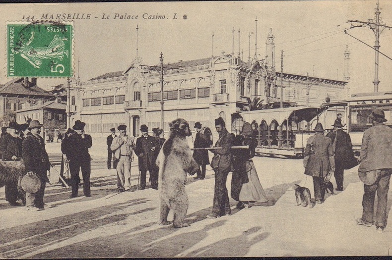
MARSEILLE.-
Montreur d'ours devant le Palace Casino.-
Marseille. L. Vers 1910. Carte postale en noir et blanc, très animée, montreur d'ours accompagné de plusieurs personnes dont une femme et un homme portant un tambourin devant un tramway et le casino. Timbre semeuse dans l'angle supérieur gauche, non gênant. Bel exemplaire. Photo sur demande.
Bookseller reference : ORD-17579
|
|
|
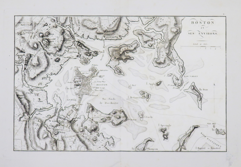
MARSHALL (John).
[GUERRE d'INDÉPENDANCE] Boston et ses environs.
[1807].203 x 320 mm.
Bookseller reference : LBW-4673
|
|
|
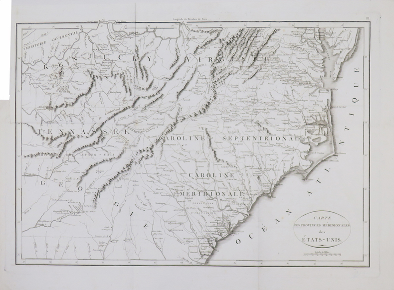
MARSHALL (John).
[GUERRE d'INDÉPENDANCE] Carte des provinces méridionales des États-Unis.
[1807]. 347 x 499 mm.
Bookseller reference : LBW-4667
|
|
|
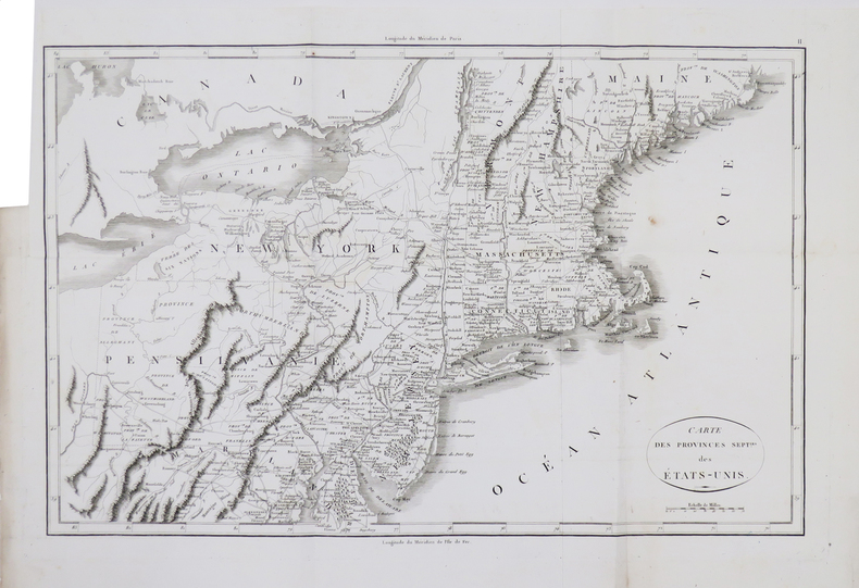
MARSHALL (John).
[GUERRE d'INDÉPENDANCE] Carte des provinces sept.les des États-Unis.
[1807]. 332 x 501 mm.
Bookseller reference : LBW-4668
|
|
|
MARSHALL (John).
[GUERRE d'INDÉPENDANCE] Mont-Vernon, habitation du Général Washington, située dans la Virginie.
[1807]. 156 x 196 mm.
Bookseller reference : LBW-4674

|
|
|
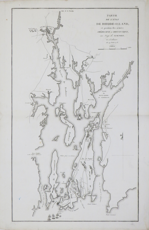
MARSHALL (John).
[GUERRE d'INDÉPENDANCE] Partie de l'état de Rhode-Island, et position des armées américaine et britannique, au siège de Newport, et à l'affaire du 29 août 1778.
[1807]. 423 x 250 mm.
Bookseller reference : LBW-4670
|
|
|
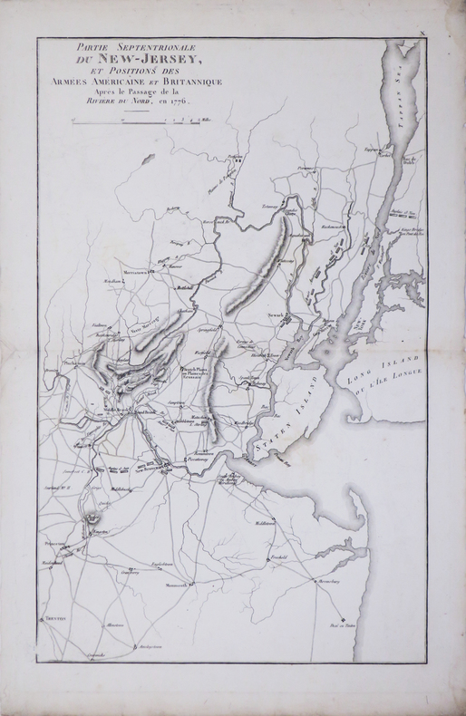
MARSHALL (John).
[GUERRE d'INDÉPENDANCE] Partie septentrionale du New-Jersey, et positions des armées américaine et britannique après le passage de la Rivière du Nord, en 1776.
[1807]. 400 x 249 mm.
Bookseller reference : LBW-4669
|
|
|
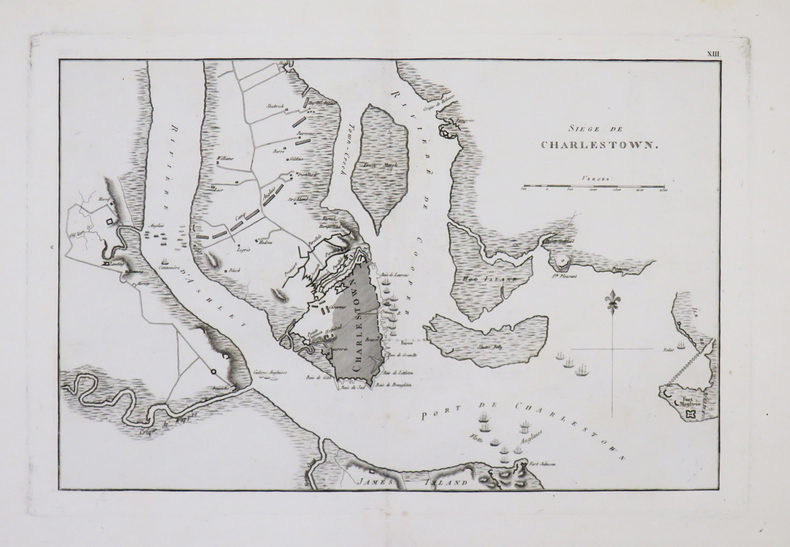
MARSHALL (John).
[GUERRE d'INDÉPENDANCE] Siège de Charlestown.
[1807]. 204 x 316 mm.
Bookseller reference : LBW-4671
|
|
|
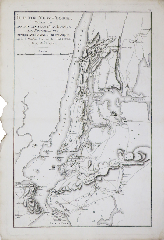
MARSHALL (John).
[GUERRE d'INDÉPENDANCE] Île de New-York, partie de Long-Island ou de l'Île Longue, et positions des armées américaine et britannique, après le combat livré sur les hauteurs, le 27 août 1776.
[1807]. 405 x 253 mm.
Bookseller reference : LBW-4672
|
|
|
Marshall, General.
GENERAL MARSHALL'S REPORT. The Winning of the War in Europe and the Pacific. Biennial Report of the Chief of Staff of the United states Army July 1, 1943 to June 30, 1945, to the Secretary of War.
123p. Illustrated with numerous maps. Large 4to. Original printed wraps, damp stained. WORLD WAR II BOX 4
|
|
|
Marshall, James Stirrat; Marshall, Carrie
Adventure in Two Hemispheres - Including Captain Vancouver's Voyage
208 pages including index and black and white illustrations. "From much accumulated data we have woven a non-fiction historical book which it is hoped will fill a practical need in the literature of the Pacific Coast and the Hawaiian Islands, and may interest readers in Canada, the United States, Hawaii and Great Britain... Extracts of Vancouver's original 1798 charts were photographed and are included, while in some instances these are compared with modern maps." - from foreward. Decorated front board. Average wear. Binding intact. Solid copy. Book
|
|
|
MARTI Victor
GAGS AVEC DES CARTES
1986 broché in-octavo, couverture jaune illustrée sur le recto, illustrations de lAuteur : 72 figures in-texte (38 effets-gags + 20 gags inédits), 43 pages, 1986 Strasbourg Editions du Spectacle,
Bookseller reference : 5316
|
|
|
Martignon Guy
Quartiers et Rues de Villemomble
SIDES6 La lampe de Mémoire In-8, broché, 172 pages, gravures, photographies et cartes postales dans un crédit exhaustif : ensemble à l'état de neuf.
Bookseller reference : 10072
|
|
|
MARTIN (Philippe).
Carte de voeux illustrée d'une gravure originale signée.
Paris Société des peintres-graveurs français 2001 1 vol. Broché Carte de voeux dépliante sur Arches illustrée d'une alugraphie en couleurs (16 x 22 cm) signée par Philippe Martin. En parfait état.
Bookseller reference : 109099
|
|
|
MARTIN (Philippe).
Carte de voeux illustrée d'une gravure originale signée.
Paris Société des peintres-graveurs français 2001 1 vol. Broché Carte de voeux dépliante sur Arches illustrée d'une alugraphie en couleurs (16 x 22 cm) signée par Philippe Martin. En parfait état.
Bookseller reference : 109099
|
|
|
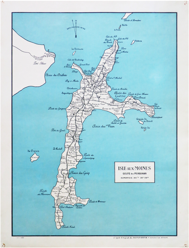
MARTIN (Prosper).
[ÎLE-aux-MOINES] Isle-aux-Moines. Golfe du Morbihan. Superficie 310ha 32a 09ca.
Vannes, I.O.V., [vers 1955]. 585 x 428 mm ; sur papier fort.
Bookseller reference : LBW-8243
|
|
|
Martin Cartes, Juan Antonio
Prevención de Adherencias postquirúrgicas con Prótesis Intraperitoneal: Estudio Experimental Spanish Edition
paperback. Good. Access codes and supplements are not guaranteed with used items. May be an ex-library book. paperback
Bookseller reference : 3844349561.G ISBN : 3844349561 9783844349566

|
|
|
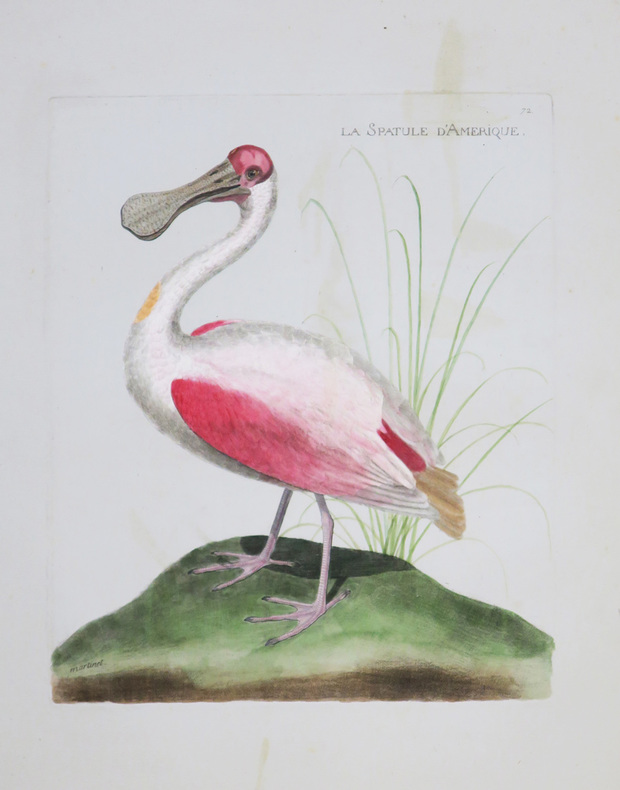
MARTINET (Alexandre).
La Spatule d'Amérique.
[Paris, circa 1795]. 228 x 201 mm.
Bookseller reference : LBW-4361
|
|
|
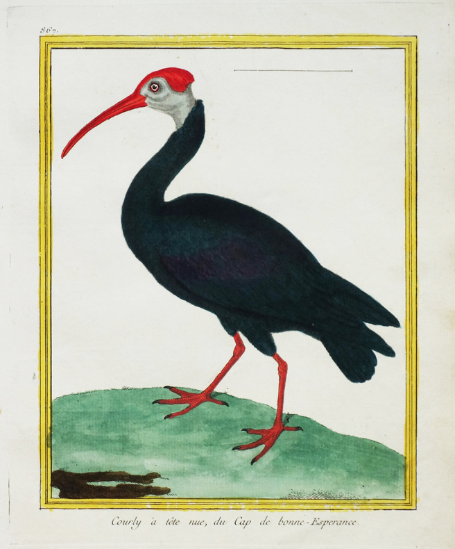
MARTINET (François-Nicolas) & BUFFON (George-Louis Leclerc de).
[AFRIQUE du SUD] Courly à tête nue, du Cap de Bonne-Espérance.
[Paris, 1771-1786]. 224 x 176 mm.
Bookseller reference : LBW-2673
|
|
|
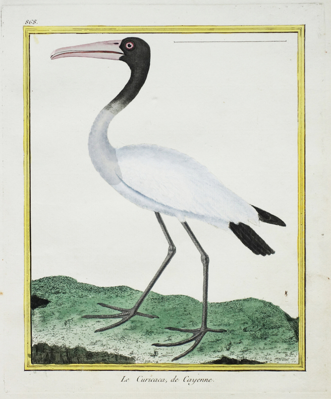
MARTINET (François-Nicolas) & BUFFON (George-Louis Leclerc de).
[CAYENNE] Le Curicaca de Cayenne.
[Paris, 1771-1786]. 228 x 178 mm.
Bookseller reference : LBW-2676
|
|
|
MARTINET (François-Nicolas) & BUFFON (George-Louis Leclerc de).
[INDE] Le Bec ouvert, de Pondichéry.
[Paris, 1771-1786]. 225 x 175 mm.
Bookseller reference : LBW-2772

|
|
|
MARTINET (François-Nicolas) & BUFFON (George-Louis Leclerc de).
[JAVA] Sarcelle, de Java.
[Paris, 1771-1786]. 219 x 172 mm.
Bookseller reference : LBW-2766

|
|
|
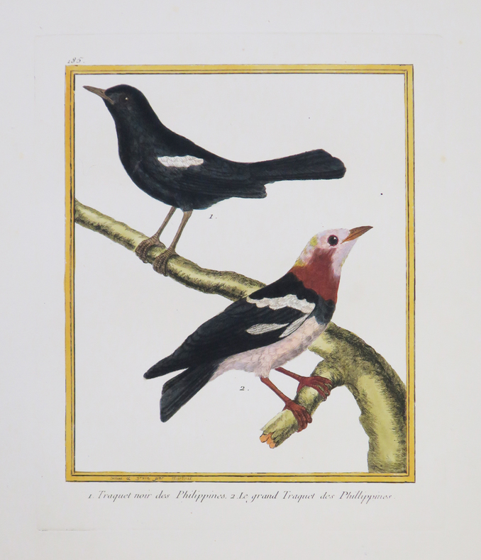
MARTINET (François-Nicolas) & BUFFON (George-Louis Leclerc de).
[PHILIPPINES] Traquet noir des Philippines - Le grand Traquet des Phillippines.
[Paris, 1771-1786]. 226 x 180 mm.
Bookseller reference : LBW-4329
|
|
|
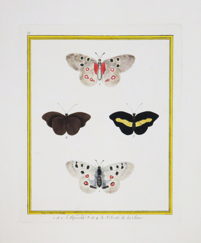
MARTINET (François-Nicolas) & BUFFON (Georges Louis Leclerc, comte de).
1 et 2. L'Alpicola. 3 et 4. Le Velouté de la Chine.
[Paris, 1771-1786]. 240 x 185 mm.
Bookseller reference : LBW-4392
|
|
|
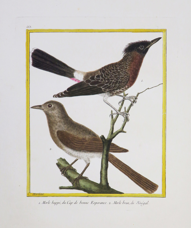
MARTINET (François-Nicolas) & BUFFON (Georges Louis Leclerc, comte de).
[AFRIQUE du SUD/SÉNÉGAL] Merle huppé, du Cap de Bonne Espérance - Merle brun, du Sénégal.
[Paris, 1771-1786]. 231 x 180 mm.
Bookseller reference : LBW-4338
|
|
|
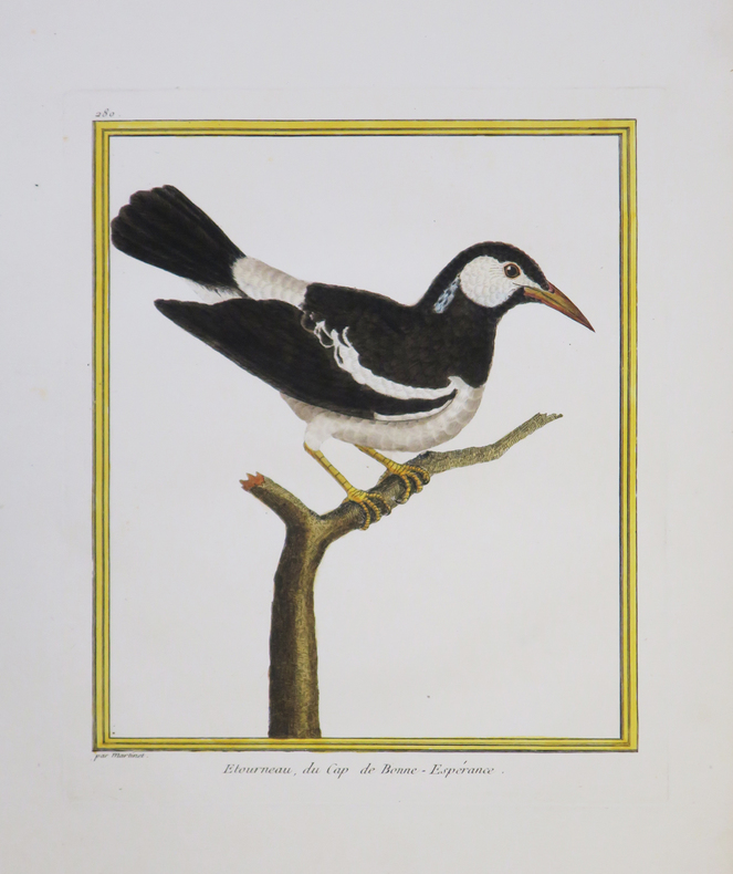
MARTINET (François-Nicolas) & BUFFON (Georges Louis Leclerc, comte de).
[AFRIQUE du SUD] Etourneau, du Cap de Bonne-Espérance.
[Paris, 1771-1786]. 236 x 190 mm.
Bookseller reference : LBW-4340
|
|
|
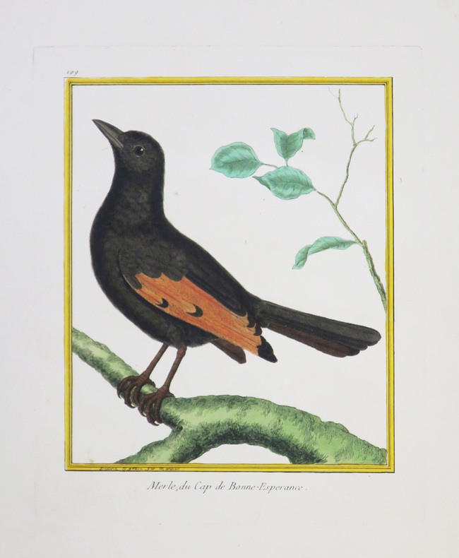
MARTINET (François-Nicolas) & BUFFON (Georges Louis Leclerc, comte de).
[AFRIQUE du SUD] Merle, du Cap de Bonne-Espérance.
[Paris, 1771-1786]. 222 x 177 mm.
Bookseller reference : LBW-4343
|
|
|
MARTINET (François-Nicolas) & BUFFON (Georges Louis Leclerc, comte de).
[CAYENNE] Choucas chauve, de Cayenne.
[Paris, 1771-1786]. 241 x 189 mm.
Bookseller reference : LBW-4347

|
|
|
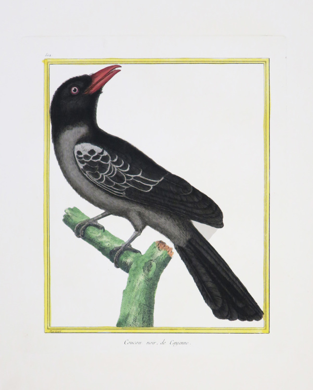
MARTINET (François-Nicolas) & BUFFON (Georges Louis Leclerc, comte de).
[CAYENNE] Coucou noir, de Cayenne.
[Paris, 1771-1786]. 231 x 180 mm.
Bookseller reference : LBW-4352
|
|
|
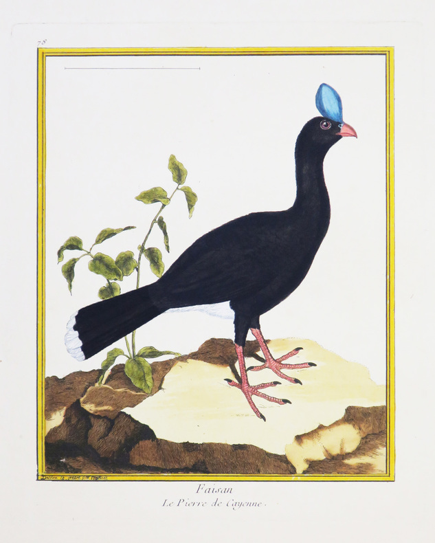
MARTINET (François-Nicolas) & BUFFON (Georges Louis Leclerc, comte de).
[CAYENNE] Faisan. Le pierre de Cayenne.
[Paris, 1771-1786]. 234 x 180 mm.
Bookseller reference : LBW-4334
|
|
|
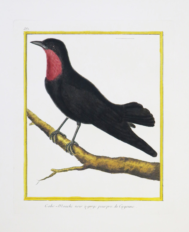
MARTINET (François-Nicolas) & BUFFON (Georges Louis Leclerc, comte de).
[CAYENNE] Gobe-mouche noir à gorge pourpre de Cayenne.
[Paris, 1771-1786]. 237 x 182 mm.
Bookseller reference : LBW-4335
|
|
|
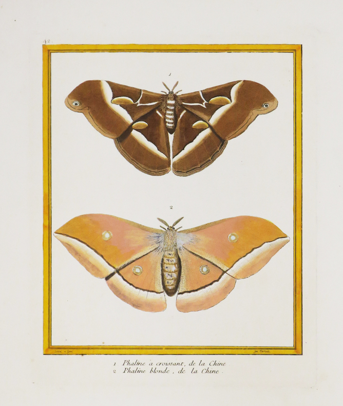
MARTINET (François-Nicolas) & BUFFON (Georges Louis Leclerc, comte de).
[CHINE] 1. Phaline à croissant, de la Chine. 2. Phaline blonde, de la Chine.
[Paris, 1771-1786]. 228 x 183 mm.
Bookseller reference : LBW-4389
|
|
|
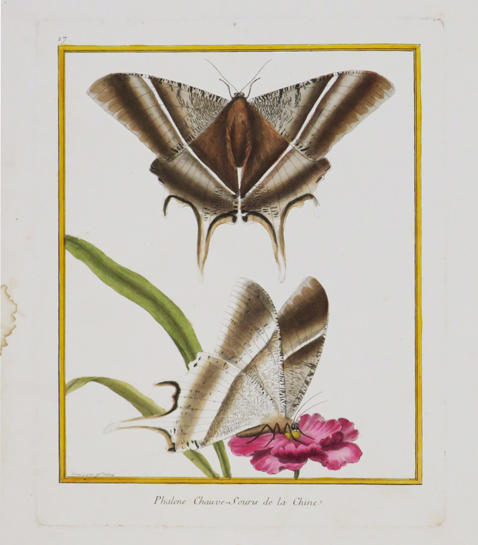
MARTINET (François-Nicolas) & BUFFON (Georges Louis Leclerc, comte de).
[CHINE] Phalène chauve-souris de la Chine.
[Paris, 1771-1786]. 242 x 189 mm.
Bookseller reference : LBW-4390
|
|
|
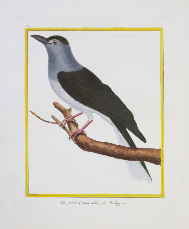
MARTINET (François-Nicolas) & BUFFON (Georges Louis Leclerc, comte de).
[MADAGASCAR] Le grand Coucou mâle, de Madagascar.
[Paris, 1771-1786]. 234 x 181 mm.
Bookseller reference : LBW-4331
|
|
|
MARTINET (François-Nicolas) & BUFFON (Georges Louis Leclerc, comte de).
[MOLUQUES] Calao des Moluques.
[Paris, 1771-1786]. 233 x 180 mm.
Bookseller reference : LBW-4342

|
|
|
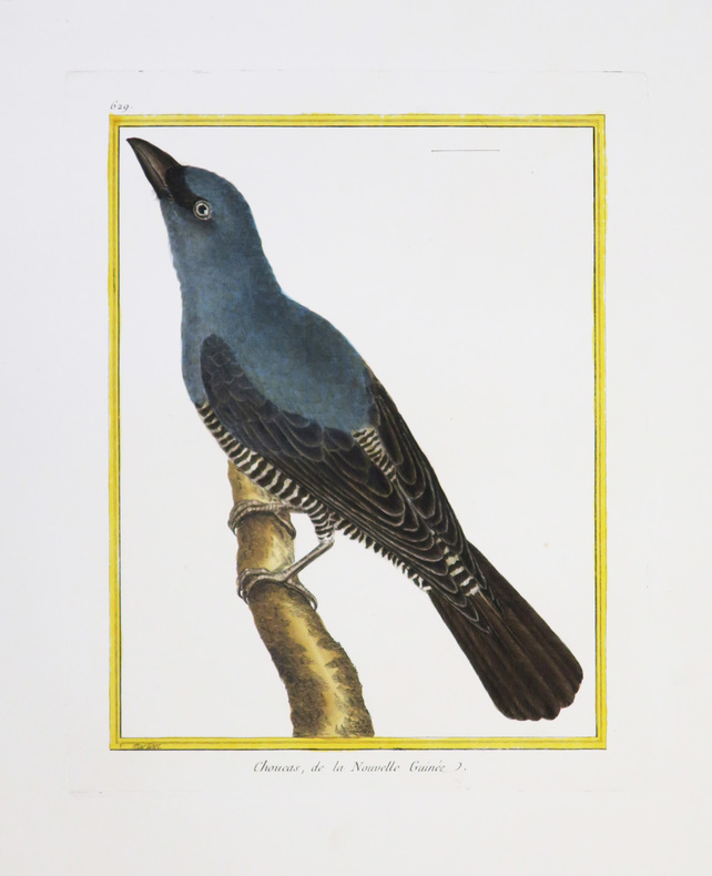
MARTINET (François-Nicolas) & BUFFON (Georges Louis Leclerc, comte de).
[NOUVELLE-GUINÉE] Choucas, de la Nouvelle Guinée.
[Paris, 1771-1786]. 230 x 175 mm.
Bookseller reference : LBW-4346
|
|
|
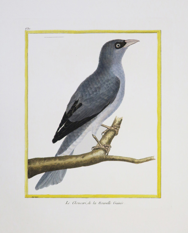
MARTINET (François-Nicolas) & BUFFON (Georges Louis Leclerc, comte de).
[NOUVELLE-GUINÉE] Le Choucari, de la Nouvelle Guinée.
[Paris, 1771-1786]. 231 x 177 mm.
Bookseller reference : LBW-4344
|
|
|
MARTINET (François-Nicolas) & BUFFON (Georges Louis Leclerc, comte de).
[SAINT-DOMINGUE] 1. Le Rocou, de St. Domingue. 2 et 3. Le Nacré, de St. Domingue. 3. Le Quinteraye, de St. Domingue.
[Paris, 1771-1786]. 237 x 179 mm.
Bookseller reference : LBW-4391

|
|
|
MARTINET (François-Nicolas) & BUFFON (Georges Louis Leclerc, comte de).
[SURINAM] 1 et 2. Le Parasol de Surinam. 3 et 4. Le Guidon de Surinam.
[Paris, 1771-1786]. 233 x 182 mm.
Bookseller reference : LBW-4388

|
|
|
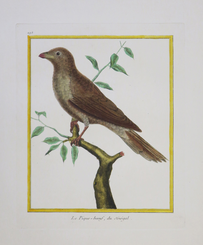
MARTINET (François-Nicolas) & BUFFON (Georges Louis Leclerc, comte de).
[SÉNÉGAL] Le Pique-bœuf, du Sénégal.
[Paris, 1771-1786]. 229 x 180 mm.
Bookseller reference : LBW-4345
|
|
|
MARTINET Fils.
[LE HAVRE] I.RE Vue de la ville du Havre de Grâce.
[Paris, 1786]. 340 x 596 mm.
Bookseller reference : LBW-6804

|
|
|
MARTINY DE RIEZ G. Portraits et cartes coloriées.
Histoire illustrée de la guerre de 1870-1871 et de la guerre civile à Paris. Réflexions morales et politiques.
Couverture rigide. Reliure demi-basane rouge à nerfs. 406 pages. Nombreuses rousseurs.
Bookseller reference : 147610

|
|
|
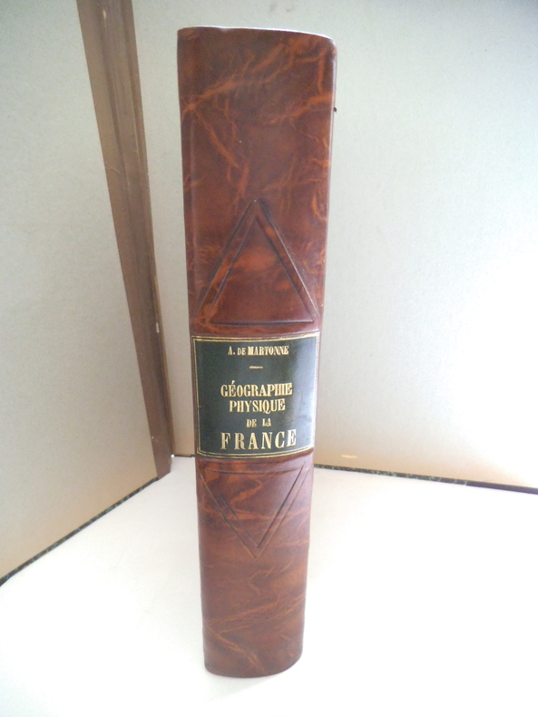
MARTONE A de
Géographie physique de la France.
In 4 demi- cuir marron raciné, pièce de titre cuir vert, filets à froid. Faux-titre, titre, 463 pages, nombreuses illustrations 167 cartes, figures, dans le texte144 photographies et une carte en couleurs hors-texte ; Librairie Armand Colin 1942. Très bon état
Bookseller reference : 13333
|
|
|
Martres, Laurent
Photographing the Soutwest : Volume 1 - A Guide to the Natural Landmarks of Southern Utah
No marks or inscriptions. No creasing to covers or to spine. A very clean very tight copy with bright unmarked boards and no bumping to corners. 320pp. A travel guide to the natural landmarks of Southern Utah including Grand Circle, Red Rock Country and Dinosaur National Monument with emphasis on the opportunities for spectacular photography and with over 240 full-color photographs.
|
|
|
MARZOLLA Benedetto (Brindisi, 1801 - Napoli, 1858)
Impero di Alessandro
Carta storica raffigurante i territori dell'Impero di Alessandro Magno intorno al 323 a.C. Tratta dall’ Atlante geografico. Corredato di notizie relative alla geografia fisica politica, ed in generale alla statistica delle varie regioni del Globo. Compilato ed eseguito in litografia per cura e sotto la direzione di Benedetto Marzolla edito a Napoli nel 1858. Marzolla, autore di importanti atlanti sulle provincie del Regno di Napoli, è anche autore di diverse carte sulle Circoscrizioni Ecclesiastiche nel Regno delle Due Sicilie, pubblicate postume, nello stesso anno della morte (1858) a Napoli nello Stabilimento Geografico diretto da Luigi Manzella. Benedetto Marzolla fu disegnatore topografo e litografo; geografo e cartografo; membro della Commissione di statistica presso il Ministero dell'Interno. Personaggio di grandissimo rilievo nella cartografia napoletana ed italiana del XIX secolo, Marzolla ottenne in vita pubblici riconoscimenti ed attestati per la produzione cartografica di altissima qualità. La sua notorietà si è lentamente dissolta dopo la morte; va tuttavia osservato che solo la mancanza di uno spiccato coinvolgimento politico in senso risorgimentale e di una valenza letteraria nella sua opera non lo hanno reso famoso come i contemporanei Francesco Costantino Marmocchi (1805-1858) e Attilio Zuccagni-Orlandini (1783-1872), con i quali può certamente confrontarsi. I progetti culturali didattici e editoriali di Marzolla furono e rimangono di straordinaria modernità; egli inventò, è il caso di dire, un nuovo modo di intendere e di disegnare la carta geografica, fornendo una visione assolutamente originale della comunicazione dei dati geografici attraverso la combinazione di testo e immagine. Con tale operazione, egli riuscì a fondere in un'unica opera, storia, geografia, economia, statistica e cartografia, raggiungendo un equilibrio grafico di rara efficacia (cfr. V. Valerio, Benedetto Marzolla Brindisino, Geografo e Cartografo dell'800 Europeo, Brindisi 2008). Bell’esemplare con coloritura coeva dei contorni, in ottimo stato di conservazione. Bibliografia V. Valerio, Benedetto Marzolla Brindisino, Geografo e Cartografo dell’800 Europeo (2008). Historical map depicting the territories of Alexander the Great's empire, around 323 BC. Taken from the Atlante geografico. Corredato di notizie relative alla geografia fisica politica, ed in generale alla statistica delle varie regioni del Globo. Compilato ed eseguito in litografia per cura e sotto la direzione di Benedetto Marzolla published in Naples in 1858. Marzolla, author of important atlases on the provinces of the Kingdom of Naples, is also the author of several maps on the Ecclesiastical Circumscriptions in the Kingdom of the Two Sicilies, published posthumously in the same year of his death (1858) in Naples in the Stabilimento Geografico directed by Luigi Manzella. Benedetto Marzolla was draftsman topographer and lithographer, geographer and cartographer. Character of great importance in the Neapolitan and Italian cartography of the nineteenth century, Marzolla obtained during his life public recognition and certificates for the production of high quality cartography. His notoriety slowly faded after his death; it should be noted, however, that only the lack of a strong political involvement in the sense of the Risorgimento and of a literary value in his work did not make him as famous as his contemporaries Francesco Costantino Marmocchi (1805-1858) and Attilio Zuccagni-Orlandini (1783-1872), with whom he can certainly compare himself. Marzolla's cultural, didactic and editorial projects were, and remain, extraordinarily modern; he invented a new way of understanding and drawing maps, providing an absolutely original vision of the communication of geographical data through the combination of text and image. With this operation, he was able to merge in a single work, history, geography, economics, statistics and cartography, achieving a graphic balance of rare effectiveness. Benedetto Marzolla is famous for being among the most important cartographers of the XIX century, for being the one to print geographic maps using high quality lithographies.His Atlante Geografico, made of 58 maps, presents finely sketched works. Six maps depict North America, among them famous map of gold diggers in California, deriving from Hippolite Ferry. Extremely relevant are also the maps of Antarctic, South Africa with the plan of Cape Town and those about Australia.Though the maps are dated between 1843 and 1856, this 1858 edition, printed in Naples at the Stabilimento Geografico Strada San Carlo (founded by Marzolla himself), represents the final version of his atlas, the last one before his death. A posthumous edition will be published in 1865.The atlas is pretty rare, is not actually listed in Phillips, British Library e OCLC. Beautiful specimen with contemporary coloring of the contours, in excellent condition. Bibliografia V. Valerio, Benedetto Marzolla Brindisino, Geografo e Cartografo dell’800 Europeo (2008).

|
|

 Receive by email
 Download as PDF document
 RSS feed
 Permanent link


