|
Jenichen Balthasar (attivo dal 1560, morto nel 1599)
Roma
La rarissima veduta aerea di Roma di Balthasar Jenichen, pubblicata a Norimberga. La veduta di Jenichen deriva a sua volta da una xilografia della Cosmographia di Sebastian Münster (Basilea, 1550), che raffigura Roma così com'era intorno al 1490 (Per la veduta di Münster si veda A. Frutaz, Le piante di Roma, XCVIII)."Orientata con nord in basso. A proiezione obliqua; veduta prospettica. È una ripetizione del panorama comparso la prima volta col Bergomensis (1490) e, con lievi modificazioni, ripetuto poi nello Schedel, nel Munster e in altre edizioni tutte inspirate al panorama, detto di Mantova, e che rappresenta Roma sotto il Pontificato di Alessandro VI. Forse lo Jenicken ricalca un vecchio rame senza mai aver visto Roma, sicché non riesce ad interpretare la linea della cupola del Pantheon, colloca l'Aventino presso la Porta del Popolo e qua e là dissemina altri errori topografici. L'assenza del Colosseo ricollega la presente pianta più direttamente al Munster" (cfr. Scaccia Scarafoni, p. 74)."In alto a sinistra legenda con lettere di rimando in veduta (A-Z). È noto un solo altro esemplare con iscrizioni in caratteri gotici conservato al Paul Getty Museum ed un altro con iscrizioni in caratteri romani conservato presso la BVE. Si tratta pertanto di una pianta di estrema rarità e peraltro graficamente assai raffinata" (cfr. Marigliani p. 121, che erroneamente raffigura e attribuisce la copia con caratteri gotici allo Jenichen).Il lettering del nostro esemplare è in latino, mentre esiste una copia con caratteri gotici, di dimensioni ridotte. Un esempio (ex collezione Pecci-Blunt) si trova al Getty Museum, un altro è pubblicato su Marigliani, altro ancora è descritto da Scaccia Scarafoni alla Biblioteca Nazionale di Roma.La veduta dello Jenichen è sconosciuta a Frutaz, mentre Hollstein ne descrive solo 2 esemplari nelle collezioni dei gabinetti delle stampe di Berlino e Monaco. Scaccia Scarafoni descrive l'esemplare presso la Biblioteca Nazionale di Roma; Jenichen è stato il principale editore tedesco di carte topografiche. Insieme al connazionale Matthias Zündt si interessarono particolarmente alle cosiddette carte d'occasione - nate per documentare avvenimenti - e ne produssero diverse sulla scia e nella tradizione di quelle dei loro omologhi editori italiani. Data la loro natura effimera, sono tutte rare o introvabili.La veduta di Roma, priva di data, può essere ricondotta la periodo 1562-1590 in base alle informazioni sul periodo di attività dell'artista. Una datazione intorno al 1570 ci sembra più compatibile con alcuni dei lavori topografici - datati - dell'artista.Acquaforte e bulino, impressa su carta vergata coeva priva di filigrana, con margini, in perfetto stato di conservazione. Rarissima.BibliografiaScaccia Scarafoni, Le Piante di Roma, pp. 74-75, n. 129; Marigliani, Le piante di Roma nelle collezioni private, p. 121, n. 17; Hollstein XL B, p. 54, n. 150; G.K. Nagler, Lexicon, VI, p. 439, n. 2; Andresen II, Nr. 279; Passavant IV, p. 429, n. 27; Le Blanc, II, p. 429, n. 27. The very rare Balthasar Jenichen's etched bird's-eye view of Rome, published in Nuremberg. Jenichen's view in turn derived from a woodcut in Sebastian Münster's Cosmographia (Basel, 1550), which depicts Rome as it was about 1490 (For Münster's view, see A. Frutaz, Le piante di Roma, XCVIII).Münster's table with lettered names keyed to buildings and monuments on the view has been shifted from the foot to the upper left-hand corner in Jenichen and the present view. In its place at foot are eight quatrains of German verse on the rulers of Rome, the last line of which reads: Das spricht Balthasar Jenichen. Lettering in the present view is Latin, while there is a copy with Gothic lettering, reduced in size. One example (ex Pecci-Blunt collection's) is at the Getty Museum, another one is published in Marigliani - who erroneously attributes the copy with Gothic characters to Jenichen. Unknown by Frutaz; Hollstein describes only 2 example of this very rare work. Scaccia Scarafoni listed the further example at the Biblioteca Nazionale di Roma (that own also the copy with Gothic text).Jenichen was the leading German publisher of news-sheet maps. Jenichen and compatriot Matthias Zündt took particular interest in the conflict and produced views and maps of it that equaled and surpassed those of their Italian counterparts. Given their ephemeral nature, all are rare and desirable.The view of Rome, undated, can be traced back to the period 1562-1590 according to the artist's period of activity. A dating around 1570 seems to us to be more compatible with some of the artist's topographical and dated works.Etching and engraving, printed on contemporary laid paper, with margins, perfect condition.LiteratureScaccia Scarafoni, Le Piante di Roma, pp. 74-75, n. 129; Marigliani, Le piante di Roma nelle collezioni private, p. 121, n. 17; Hollstein XL B, p. 54, n. 150; G.K. Nagler, Lexicon, VI, p. 439, n. 2; Andresen II, Nr. 279; Passavant IV, p. 429, n. 27; Le Blanc, II, p. 429, n. 27.

|
|
|
JERUSALEMS TEMPEL -
Jerusalems tempel Såsom thet syntes öster uth Medh alla sine Föreårdar eller Chorer, efter Ben. Ariae Montani Afritning.
(Stockholm, 1703). (33 x 42 cm.). Kobberstukket kort over Tempelgården i perspektiv. En ganske lille reparation nederste i midterfolden. I passpartou.
Referenz des Buchhändlers : 53195
|
|
|
JERUSALEMS TEMPEL -
Jerusalems tempel Såsom thet syntes öster uth Medh alla sine Föreårdar eller Chorer, efter Ben. Ariae Montani Afritning.
(Stockholm, 1703). (33 x 42 cm.). Kobberstukket kort over Tempelgården i perspektiv. En ganske lille reparation nederste i midterfolden. I passpartou.
|
|
|
JESSUP Frank W.
A History of Kent. with Maps and Pictures. BRIGHT, CLEAN COPY IN UNCLIPPED DUSTWRAPPER
8vo., First Edition, with 30 plates on 16 and 15 maps in the text; green cloth, gilt back, a very good, bright, clean copy in unclipped dustwrapper, the latter lightly frayed at extremities. Bennett p.184.

|
|
|
JEUX DE CARTES
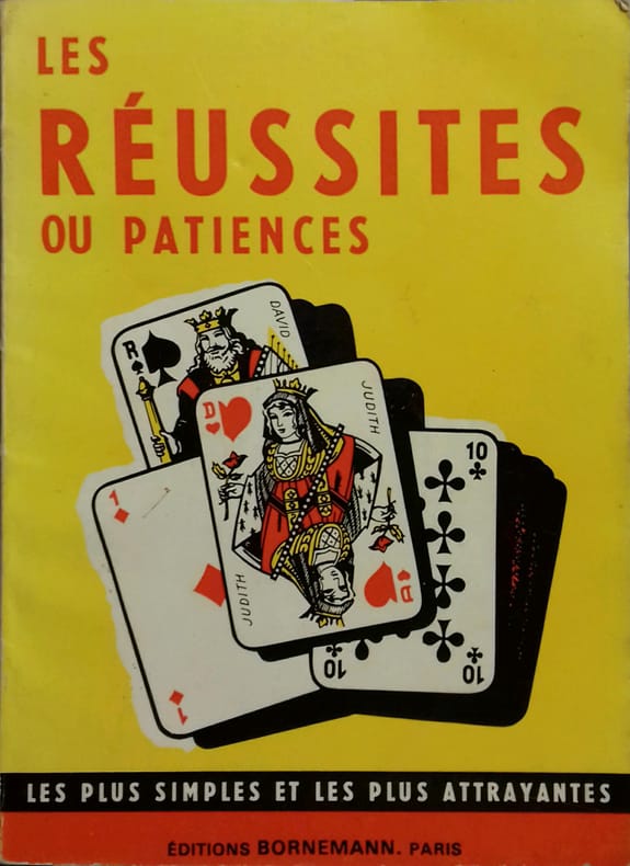
Les réussites ou patiences.
Couverture rigide. Broché. 48 pages.
Referenz des Buchhändlers : 140082
|
|
|
JEUX DE CARTES
Règle du je de Piquet - Piquet ordinaire - Piquet à écrire - Piquet normand - Piquet voleur - Lois et conventions.
Paris, Delarue, sd (v. 1890) ; in-12, broché, couverture jaune illustrée. 36 pp.Bel exemplaire.
Referenz des Buchhändlers : 35503465
|
|
|
JEUX DE CARTES
Réponse d'un docteur de Sorbonnne à un chanoine de ...
(vers 1700).
Referenz des Buchhändlers : 18195

|
|
|
Jim Perry, Blank Endpaper FORMER OWNER STAMP, Illustrated By Photos Maps b/w
Stars Beyond The a Biographical Graveside Guide cemeteryS of Theda Bara Humphrey Bogart Bob Crane Marion Davies Sharon Tate Rudolph Valentino Peter Lorre Marilyn Monroe Bela Lugosi Errol Flynn Walt Disney Zazu Pitts Rosalind Russell ETC
Manhattan Beach CA Self-Published J. E. Perry 1978. Oblong Pictorial Paperback in B/W light creases Cover 1978 1st Edition Interior nice tight UNDERLINing Thruout VG/Good SOFTCOVER few notes in ink couple dog eared pgs . First Edition. Soft Cover. Manhattan Beach, CA Self-Published J. E. Perry paperback
Referenz des Buchhändlers : 23100
|
|
|
Jo Sturges and Denise Laing (editors)
The Pub Guide 2004
No marks or inscriptions. No creasing to covers or to spine. A very clean very tight copy with bright unmarked boards, minor traces of storage to front cover and no bumping to corners. 704pp. The state of play with pubs which were open in 2004.

|
|
|
JOANNE (Adolphe)
Géographie de l'Allier
Paris, Librairie Hachette, 1908, 66 pp. in-12, rel. carto. édit, dos toilé bleu, ill. h.t 24 grav. et une carte coloriée h.t dépl.
Referenz des Buchhändlers : 3807
|
|
|
JOANNE (Adolphe)
Géographie de l'Oise
Paris, Librairie Hachette, 1902, 60 pp. in-12, rel. carto. édit, dos toilé bleu, ill. h.t 13 grav. et une carte coloriée h.t dépl.
Referenz des Buchhändlers : 3804
|
|
|
JOANNE (Adolphe)
Géographie de La Somme
Paris, Librairie Hachette, 1903, 68 pp. in-12, rel. carto. édit, dos toilé bleu, ill. h.t 11 grav. et une carte coloriée h.t dépl.
Referenz des Buchhändlers : 3797
|
|
|
JOANNE (Adolphe)
Géographie des Hautes-Pyrénées
Paris, Librairie Hachette, 1897, 74 pp. in-12, rel. carto. édit, dos toilé bleu, ill. h.t 13 grav. et une carte coloriée h.t dépl.
Referenz des Buchhändlers : 3811
|
|
|
JOANNE (Adolphe)
Géographie du Cantal
Paris, Librairie Hachette, 1895, 68 pp. in-12, rel. carto. édit, dos toilé bleu, ill. h.t 16 grav. et une carte coloriée h.t dépl.
Referenz des Buchhändlers : 3814
|
|
|
JOANNE (Adolphe)
Géographie du département de l'Ariège
Paris, Librairie Hachette, 1896, 66pp. in-12, rel. carto. édit, dos toilé bleu, ill. h.t 12 grav. et une carte coloriée h.t dépl.
Referenz des Buchhändlers : 3794
|
|
|
JOANNE (Adolphe)
Géographie du Loiret
Paris, Librairie Hachette, 1903, 68 pp. in-12, rel. carto. édit, dos toilé bleu, ill. h.t 27 grav. et une carte coloriée h.t dépl.
Referenz des Buchhändlers : 3798
|
|
|
JOANNE (Adolphe)
Géographie du Lot
Paris, Librairie Hachette, 1879, 58 pp. in-12, rel. carto. édit, dos toilé bleu, ill. h.t 8 grav. et une carte coloriée h.t dépl.
Referenz des Buchhändlers : 3796
|
|
|
JOANNE (Adolphe)
Géographie du Maine-et-Loire
Paris, Librairie Hachette, 1908, 70 pp. in-12, rel. carto. édit, dos toilé bleu, ill. h.t 17 grav. et une carte coloriée h.t dépl.
Referenz des Buchhändlers : 3809
|
|
|
JOANNE (Adolphe)
Géographie du Nord
Paris, Librairie Hachette, 1904, 60 pp. in-12, rel. carto. édit, dos toilé bleu, ill. h.t 17 grav. et une carte coloriée h.t dépl.
Referenz des Buchhändlers : 3805
|
|
|
JOANNE (Adolphe)
Géographie du Puy-de-Dôme
Paris, Librairie Hachette, 1911, 82 pp. in-12, rel. carto. édit, dos toilé bleu, ill. h.t 21 grav. et une carte coloriée h.t dépl.
Referenz des Buchhändlers : 3813
|
|
|
JOANNE (Adolphe)
Géographie du Tarn-et-Garonne
Paris, Librairie Hachette, 1885, 60 pp. in-12, rel. carto. édit, dos toilé bleu, ill. h.t 8 grav. et une carte coloriée h.t dépl.
Referenz des Buchhändlers : 3802
|
|
|
JOANNE Ad.
Carte du d?partement de la Manche au 1/440 000?. Sans date.
1 feuille sous couverture toil?e d?fra?chie. 25x35 cm.
|
|
|
JOANNE Adolphe
FRANCE NORMANDIE
1886 cart. toil. éd. in-8, 7 cartes repliées / onglet et 4 plans, 580 p., 1886 hachete éd.,
Referenz des Buchhändlers : 717
|
|
|
JOANNE Adolphe
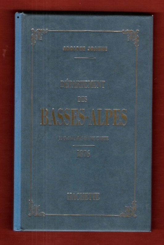
Géographie Du Département Des Basses-Alpes . 11 Gravures & Une Carte Coloriée - 1876 . Complet De Sa Carte Dépliante En Couleurs
Paris Hachette 1993 In 12 Très belle iconographie reprenant les gravures des villages de l'époque . Guide Joanne . Cartes et plans . - 50 p. , 300 gr.
Referenz des Buchhändlers : 009987
|
|
|
JOANNE Adolphe
Géographie Du Département Des Basses-Alpes . 11 Gravures & Une Carte Coloriée - 1876 . Complet De Sa Carte Dépliante En Couleurs
Très belle iconographie reprenant les gravures des villages de l'époque . Guide Joanne . Cartes et plans . - 50 p. , 300 gr.

|
|
|
JOANNE Adolphe
Nouveau plan de Paris
- Hachette, Paris 1867, 11x17,8cm, relié. - Collection des guides Joanne. Liste alphabétique des rues de Paris avec également la liste des omnibus et leurs trajets, les prix, les voitures mobiles et autres transports publics. Reliure d'éditeur en pleine percaline violette. Dos lisse muet. Titre et armes de Paris sur le premier plat. Grand plan dépliante de Paris en couleurs. Plusieurs petites déchirures. Bon exemplaire. Le Paris de Napoléon III et de Haussman. Ce plan de Paris a été édité pour l'exposition universelle de Paris de 1867. On lit à la fin du capitre sur les voitures publiques : "Un service spécial, de la place du Palais-Royal au pot d'Iena, aura lieu pendant toute la durée de l'exposition". [ENGLISH DESCRIPTION ON DEMAND]

|
|
|
JOANNE Adolphe:
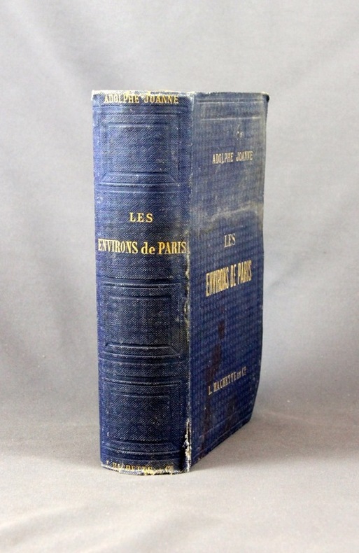
Les environs de Paris. Illustré. Itinéraire descriptif et historique.
Paris, Lib. de L. Hachette et Cie, [1856]. In-8 de XVI-847 pages, pleine percaline bleue d’éditeur, dos lisse orné de caissons à froid. Coiffes frottées, 1er plat taché, mors du 1er plat fendu en sa partie inférieure (3 cm), quelques rousseurs.
Referenz des Buchhändlers : 2432
|
|
|
JOANNE Paul
Belgique et Grand-Duché De Luxembourg . Complet De Sa Carte Indépendante En Fin D'ouvrage
Collection " Des Guides-Joanne " avec 15 plans et 7 cartes en couleurs dont certaines dépliantes . Nombreuses publicités , notamment d'hôtels mais aussi de Michelin , de chocolat Menier etc .- 312 p. + 118 p. , 550 gr.

|
|
|
JOANNE Paul
DAUPHINE ET SAVOIE 1883
1883 cart. éd. toil. verte in-12, 5 cartes, 2 plans, 3 panoramas, 462 p., 1883 hachette éd.,
Referenz des Buchhändlers : 751
|
|
|
Joanne Paul
Itinéraire général de la France - Bretagne
Hachette et Cie Toile d'éditeur In-12 (11x17.5 cm), reliure toile d'éditeur, auteur, titre et éditeur dorés sur le 1er plat et au dos, 30-(XXXII)-662 pages et 92 pages de publicités des Guides Joanne, cartes dépliantes en couleurs ; ors un peu passés au dos, coiffes un peu frottées, une pastille ronde au dos, certaines pages se détachent du dos, assez bon état. Livraison a domicile (La Poste) ou en Mondial Relay sur simple demande.
Referenz des Buchhändlers : ys167
|
|
|
JOANNE Paul
Itinéraire Général De La France : Corse
Paris Hachette et Cie 1892 In-12 64+LXIII+180+128 pp, cahiers de publicités en début et fin de volume. 4 cartes dépliantes en couleurs et 2 plans. Décors à froid, titre estampé à chaud sur 1er plat et dos. Ensemble légèrement passé, frottis sur coiffes et percaline fendue sur 2 mors.
Referenz des Buchhändlers : 8871
|
|
|
JOANNE Paul:
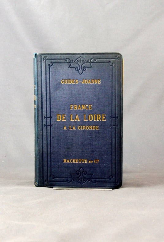
Itinéraire général de la France. (... ) De la Loire à la Gironde. Poitou et Saintonge.
Paris, Lib. Hachette et Cie, 1889. 1 vol. in-8 de 40, XXVI-259-126 pages, pleine percaline bleue d’éditeur, dos lisse orné à froid, plats encadrés à froid. Un mors fendu (1 cm), minuscules taches à la percaline, cahiers de publicité déboîtés mais solidaires.
Referenz des Buchhändlers : 2433
|
|
|
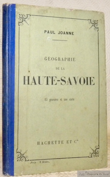
JOANNE, Adolphe.
Géographie du département de la Nièvre. Avec une carte coloriée et 15 gravures. Neuvième édition.
Paris, Librairie Hachette 1907 183x113mm, 65pages, cartonnage de l’éditeur. Bel exemplaire.
Referenz des Buchhändlers : 63452
|
|
|
JOHANNE (Adolphe)
Géographie des Basses-Pyrénées
Paris, Librairie Hachette, 1894, 76 pp. in-12, rel. carto. édit, dos toilé bleu, ill. h.t 12 grav. et une carte coloriée h.t dépl.
Referenz des Buchhändlers : 3799
|
|
|
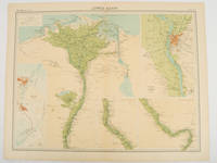
JOHN BARTHOLOMEW & CO
Lower Egypt.
London.: The Times. 1920. Map printed in colour 47 x 59.5 cm sheet showing cultivated land in green and desert in cream five insets: Port Said Suez Environs of Cairo and two showing continuations of the Nile; original fold two small edge tears but in very good condition. Attractive large map prepared as plate 79 from "The Times Survey Atlas and Gazeteer of the World". . The Times. unknown
Referenz des Buchhändlers : 47836
|
|
|
John Bartholomew
Map of Spain and Portugal in Layer Colouring 1 : 1,600,000. (1943)
Clean map with two panes a little dusty, four inch tear along one fold and small holes to a few folding corners. 1pp. Linen-backed folded contour map dated 1943 opens up to 25 x 31 inches. Scale given on front cover of 1:6,000,000 is corrected inside as being 1:1,600.000. Date 1943 printed on lower map corner. Scarce.
|
|
|
John Bartholomew & Son
Illustrated World Atlas
Bartholomew 1992 176 pages 22 2x3x31 2cm. 1992. Relié. 176 pages.
Referenz des Buchhändlers : 500261917

|
|
|
John Betjeman
John Betjeman's Oxford
No marks or inscriptions. No creasing to covers or to spine. A very clean very tight copy with bright unmarked boards, slight sunning to spine, signs of storage and no bumping to corners. 192pp. Originally written in the 1930s, an unusual illustrated guide and history to the City of Oxford.

|
|
|
John de Visser
Grand River Reflections
No marks or inscriptions. A lovely clean very tight copy with bright unmarked boards, very slight bumping to lower edge and no bumping to corners. Dust jacket not price clipped or marked or torn or creased. 155pp. A lavish photographic work giving some details of the history of the area from the Dundalk Highlands of Southern Ontario to Port Maitland on Lake Erie, beautifully enhanced by the superb colour images.. Very scarce in the UK.

|
|
|
John Howard Hinton [Editor]; John Tallis (maps) [Illustrator];
The History and Topography of the United States of America
J & F. Tallis London Edinburg & Dublin 1850-01-01. Leather. Very Good. 1850 Tallis 6 volumes bound into 2 vols 3/4 leather over marbleized boards. 7 hand colored maps 56 plates ownership ink to flyleafs and book dealership pencil. Tight bindings text unmarked. oversized and overweight. Please email for photos. J & F. Tallis, London, Edinburg & Dublin hardcover
Referenz des Buchhändlers : 95311
|
|
|
John J Pershing; Illustrator-Charts Many Fold Out Maps
Final Report of Gen. John J. Pershing Commander-in-Chief American Expeditionary Forces
Government Printing Office 1920. Paperback. Very Good. 8vo. Softcover. Good binding and cover. Chipping and loss to tail of spine. Minor wear to extremities. 95 p. 1l. : 16 pl. fold. maps diagrs. part fold. ; 24 cm. Contents: pt. 1. Period of organization; pt. 2. Operations; pt. 3. Supply coordination munitions and administration; pt. 4. Mscellaneous subjects. Clean unmarked pages with minimal toning. Foldout maps in crisp clean condition with no tears or excessive wear. Please feel free to view our photographs. Government Printing Office paperback
Referenz des Buchhändlers : 1203080035
|
|
|
John Prebble
John Prebble's Scotland
No marks or inscriptions. A very clean very tight copy with bright unmarked unusual white card boards and no bumping to corners. Dust jacket not price clipped or marked or torn or creased with very slight traces of storage. 207pp. John Prebble's journey through the landscape of Scotland, through memory and history, spanning the Borders, the Highlands and the Isles. Illustrated in colour and in black & white.

|
|
|
John Speed
The Counties of Britain: A Tudor Atlas
No marks or inscriptions. Tiny crease to upper corner of rear covers and to lower part of spine. A very clean very tight copy with bright unmarked slightly indented boards and no bumping to corners. 288pp. Reproductions and discussion of the maps of every county of Britain done by John Speed, originally drawn and coloured just before and after the year 1600.

|
|
|
Johnsgard, Paul A.
Hummingbirds of North America
A clean, unmarked book with a tight binding. Full beige cloth boards. 7 1/8"h x 10 1/4"h. Small tears on dust jacket. 304 pages. Descriptions of 23 North American hummingbird species, 16 full-page color illustrations by James McClelland, distribution maps, glossary of technical terms, bibliography, identification keys, and more.

|
|
|
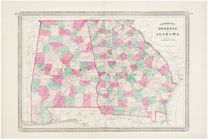
JOHNSON (Alvin Jewett).
Georgia and Alabama.
New York ,1863. 388 x 561 mm.
Referenz des Buchhändlers : LBW03586
|
|
|
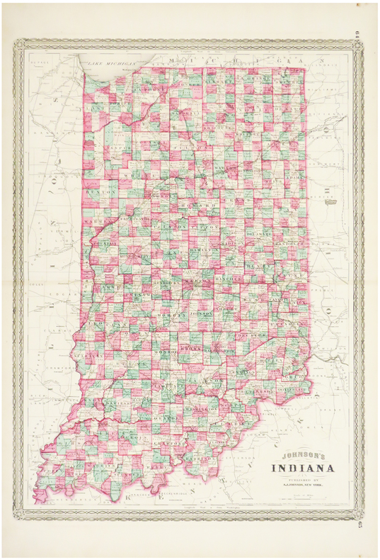
JOHNSON (Alvin Jewett).
Indiana.
New York, 1864. 585 x 435 mm.
Referenz des Buchhändlers : LBW03585
|
|
|
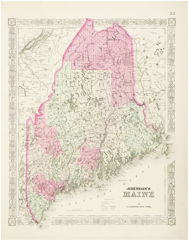
JOHNSON (Alvin Jewett).
Maine.
New York, 1864. 405 x 325 mm.
Referenz des Buchhändlers : LBW03582
|
|
|
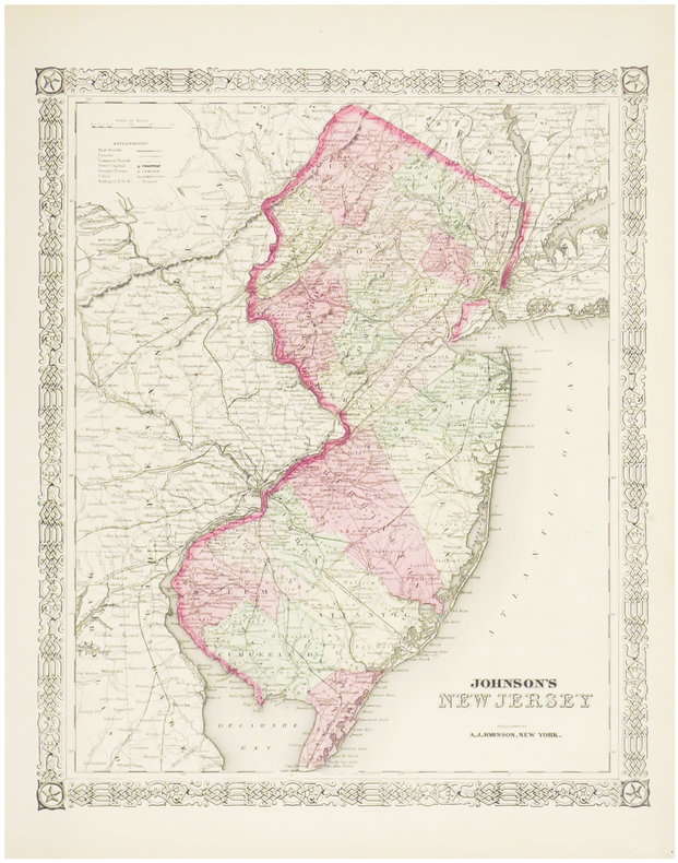
JOHNSON (Alvin Jewett).
New Jersey.
New York, 1864. 395 x 325 mm.
Referenz des Buchhändlers : LBW03581
|
|
|
JOHNSON (Alvin Jewett).
Pennsylvania and New Jersey.
New York, 1864. 435 x 601 mm.
Referenz des Buchhändlers : LBW03584

|
|
|
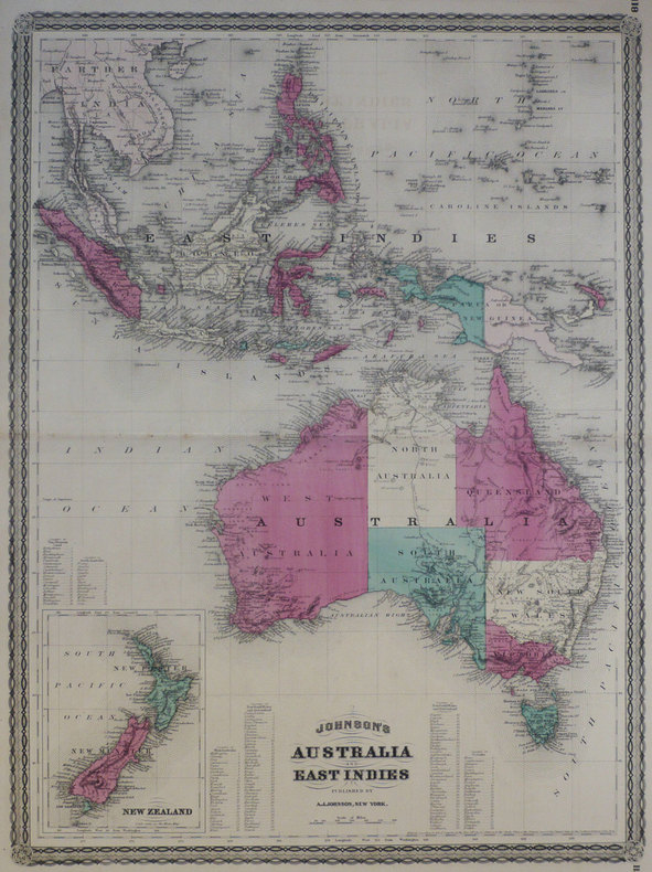
JOHNSON (Alvin Jewett);
Johnson's Australia and East Indies.
New York A.J. Johnson 1870 580 x 430 mm.
Referenz des Buchhändlers : LBW-1273
|
|

 Per e-mail erhalten
 Als pdf-Dokument herunterladen
 RSS feed
 Permanenter link


