Admiralty ChartsMareMagnum

6901 risultati
900Islands and Anchorages in Cook Islands In the upper left side of the chart insert of Arutunga Anchorage From a British Survey in 1892 and Rarotonga Island From a New Zealand Government plan of 1913 (with additions from a British survey in 1922). In the middle of the chart insert of Aitutaki Island From a British survey in 1892 (with additions from a New Zealand Gov.plan of 1906) and Atu Island From a New Zealand Gov. survey in 1919. In the right part of the chart insert of Hervey Islands From a New Zealand Gov. plan of 1906 and Mauke Island From a New Zealand Gov. plan of 1906. In the lower part of the chart insert of Avarua and Avatiu Harbors From a British survey in 1922. Washington D.C., published Apr. 1902, at the Hydrographic Office, under the authority of the Secretary of the Navy. Small corrections: Printed Mar. 1928. Folded editorialyy. Autore: Admiralty Charts. Luogo: Cook Islands - Pacific Ocean. Anno: '900. Tecnica: incisione. Dimensioni: 960x661 mm
1863Raoul or Sunday I. Surveyed by Capt. H.M. Denham, assisted by Lieut: J. Hutchison, J.W. Smith, Mast. E. Wilds, F. Hixson, & F. Howard Sec. Masters 1854. In the left side of the chart insert of CMacauley I. From a Sketch Survey by the Ass. Surveyor General of New Zealand in 1887, Curtis I. From a Sketch Survey by the Ass. Surveyor General of New Zealand in 1887. London Published at the Admiralty, May 4th 1863, under the Superintendence of R. Adm. Washington, Hydrographer. Small corrections: 1930. Autore: Admiralty Charts. Luogo: New Zealand - Kermadec Group - Polynesia - Pacific Ocean. Anno: 1863 [1930]. Tecnica: incisione. Dimensioni: 471x670 mm
900Samoa Islands Island of Tutuila From United States Naval surveys between 1901 and 1922. In the upper left corner of the chart insert of Manua Islands - Tau, Ofu and Olosega Islands From a United States Naval survey in 1915 - and insert of Rose Island From latest information. Washington D.C., published June 1923, at the Hydrographic Office, under the authority of the Secretary of the Navy. Small corrections: Printed: April 1932. Folded editorially. Autore: Admiralty Charts. Luogo: Samoa Islands - Pacific Ocean. Anno: '900. Tecnica: incisione. Dimensioni: 789x1215 mm
900South Pacific Ocean. Sheet III. The curves of Variation are for 1915. Washington D.C., published Oct. 1883, at the Hydrographic Office, under the authority of the Secretary of the Navy. Small corrections Printed: July 1932. Folded editorially. Autore: Admiralty Charts. Luogo: Pacific Ocean South. Anno: '900. Tecnica: incisione. Dimensioni: 594x774 mm
1835Mappa dell'Oceania.Carta geografica tratta dal "Dizionario Geografico Universale..." edito a Venezia nel 1835. In buono stato di conservazione. Map of Oceania taken from the "Dizionario Geografico Universale..." published in Venice in 1835.In good condition.
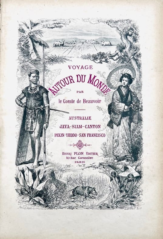
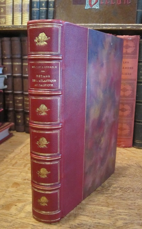
1873rif. 42992Paris, Henri Plon, 1873. Grand in-8 de (6)-641-(3) pp., 116 illustrations, demi-chagrin vert, dos orné à nerfs, tranches dorées (Ch. Magnier).
1998rif. MG253291998 2 volumes (A+B complete). 1250 p., 2500 figs, 500 b/w & 200 col. photographs, 4to, hardbound. Spines somewhat discoloured, else a good copy. Now out of print. The most comprehensive and authoritative treatment yet of Australia's marine, freshwater and terrestrial molluscs. It is a significant international reference, with contributions from 70 authors, and in which some 7700 papers in the primary literature are cited. Most molluscan families described in the book are also found in the Northern Hemisphere, making this title an essential reference for malacologists worldwide.
1785rif. LBW-28591785. 230 x 499 mm.
1774rif. LBW-2757[1774]. 270 x 272 mm.
1774rif. LBW-2718[1774]. 275 x 431 mm.
1789rif. PHO-853Paris, chez Maradan, 1789. in-8 (20,5 x 13 cm), [6]-581 + [4]-292-46-[4] p. + h.-t. 2 vol. reliés époque , dos lisse avec titre , tomaison et nom du collectionneur en queue. Édition originale de la traduction française, cet exemplaire comporte bien les tables dépliantes à la fin du volume 2 mais compte 19/22 planches et cartes hors-texte (manquent 18, 21, 22). Marques d'usure aux reliures, plusieurs fentes aux mors, restaurations de papier à la p. de titre et la suivante dans le vol. 1, mouillure claire sur quelques ff. du vol. 2 et tache en marge haute des derniers ff. Sabin, 20366, Chadenat, n°1593
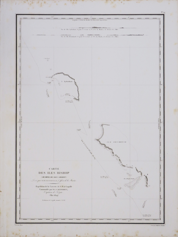
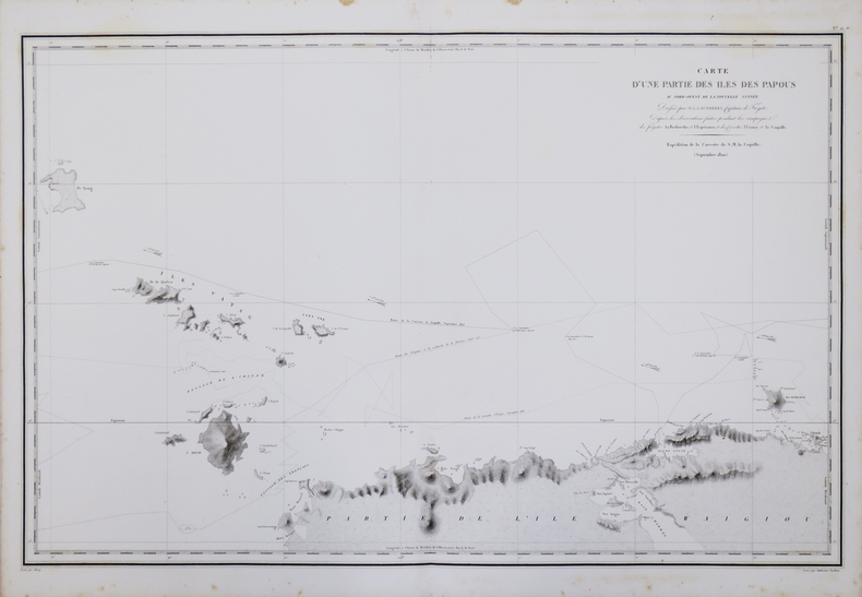
1833rif. LBW061b5[Paris, 1833]. 263 x 348 mm.
1833rif. LBW061b1[Paris, 1833]. 257 x 362 mm.
1833rif. LBW-5460[Paris, 1833]. 302 x 460 mm.
1833rif. LBW-5462[Paris, 1833]. 250 x 330 mm.
1827rif. LBW-4442[1827]. 498 x 351 mm.
1827rif. LBW-4440[1827]. 496 x 772 mm.
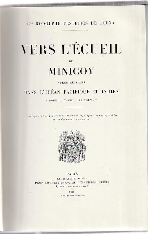
rif. 60187Paris, Librairie Plon, 1904, ouvrage orné de 174 gravures et de cartes, d'après les photographies et les documents de l'auteur, 355 pp. + planches et cartes, relié, très légères traces d'usage, bon état général.
1821rif. PHO-1025London: Longman, Hurst. 1821. in-8 ,XI + 320 pp. ,illustré avec 2 cartes (1 facsimilé)et 5 gravures in texte , relié pleine percale , dos lisse avec pièce de titre et auteur et date ,rousseurs sur le titre
1826rif. LBW-4987[Paris, 1826]. 766 x 507 mm.
1826rif. LBW-4989[Paris, 1826]. 494 x 331 mm.
1862rif. LBW-1136Paris, Jules Renouard, 1862. 354 x 490 mm.
1861rif. LBW-6953Paris, [1861]. 315 x 422 mm.
1841Carta geografica tratta dall’ Atlante geografico. Corredato di notizie relative alla geografia fisica politica, ed in generale alla statistica delle varie regioni del Globo. Compilato ed eseguito in litografia per cura e sotto la direzione di Benedetto Marzolla edito a Napoli nel 1858. Marzolla, autore di importanti atlanti sulle provincie del Regno di Napoli, è anche autore di diverse carte sulle Circoscrizioni Ecclesiastiche nel Regno delle Due Sicilie, pubblicate postume, nello stesso anno della morte (1858) a Napoli nello Stabilimento Geografico diretto da Luigi Manzella. Benedetto Marzolla fu disegnatore topografo e litografo; geografo e cartografo; membro della Commissione di statistica presso il Ministero dell'Interno. Personaggio di grandissimo rilievo nella cartografia napoletana ed italiana del XIX secolo, Marzolla ottenne in vita pubblici riconoscimenti ed attestati per la produzione cartografica di altissima qualità. La sua notorietà si è lentamente dissolta dopo la morte; va tuttavia osservato che solo la mancanza di uno spiccato coinvolgimento politico in senso risorgimentale e di una valenza letteraria nella sua opera non lo hanno reso famoso come i contemporanei Francesco Costantino Marmocchi (1805-1858) e Attilio Zuccagni-Orlandini (1783-1872), con i quali può certamente confrontarsi. I progetti culturali didattici e editoriali di Marzolla furono e rimangono di straordinaria modernità; egli inventò, è il caso di dire, un nuovo modo di intendere e di disegnare la carta geografica, fornendo una visione assolutamente originale della comunicazione dei dati geografici attraverso la combinazione di testo e immagine. Con tale operazione, egli riuscì a fondere in un'unica opera, storia, geografia, economia, statistica e cartografia, raggiungendo un equilibrio grafico di rara efficacia (cfr. V. Valerio, Benedetto Marzolla Brindisino, Geografo e Cartografo dell'800 Europeo, Brindisi 2008). Bell’esemplare con coloritura coeva dei contorni, in ottimo stato di conservazione. Bibliografia V. Valerio, Benedetto Marzolla Brindisino, Geografo e Cartografo dell’800 Europeo (2008), n. 60. Map taken from the Atlante geografico. Corredato di notizie relative alla geografia fisica politica, ed in generale alla statistica delle varie regioni del Globo. Compilato ed eseguito in litografia per cura e sotto la direzione di Benedetto Marzolla published in Naples in 1858. Marzolla, author of important atlases on the provinces of the Kingdom of Naples, is also the author of several maps on the Ecclesiastical Circumscriptions in the Kingdom of the Two Sicilies, published posthumously in the same year of his death (1858) in Naples in the Stabilimento Geografico directed by Luigi Manzella. Benedetto Marzolla was draftsman topographer and lithographer, geographer and cartographer. Character of great importance in the Neapolitan and Italian cartography of the nineteenth century, Marzolla obtained during his life public recognition and certificates for the production of high quality cartography. His notoriety slowly faded after his death; it should be noted, however, that only the lack of a strong political involvement in the sense of the Risorgimento and of a literary value in his work did not make him as famous as his contemporaries Francesco Costantino Marmocchi (1805-1858) and Attilio Zuccagni-Orlandini (1783-1872), with whom he can certainly compare himself. Marzolla's cultural, didactic and editorial projects were, and remain, extraordinarily modern; he invented a new way of understanding and drawing maps, providing an absolutely original vision of the communication of geographical data through the combination of text and image. With this operation, he was able to merge in a single work, history, geography, economics, statistics and cartography, achieving a graphic balance of rare effectiveness. Benedetto Marzolla is famous for being among the most important cartographers of the XIX century, for being the one to print geographic maps using high quality lithographies. His Atlante Geografico, made of 58 maps, presents finely sketched works. Six maps depict North America, among them famous map of gold diggers in California, deriving from Hippolite Ferry. Extremely relevant are also the maps of Antarctic, South Africa with the plan of Cape Town and those about Australia. Though the maps are dated between 1843 and 1856, this 1858 edition, printed in Naples at the Stabilimento Geografico Strada San Carlo (founded by Marzolla himself), represents the final version of his atlas, the last one before his death. A posthumous edition will be published in 1865. The atlas is pretty rare, is not actually listed in Phillips, British Library e OCLC. Beautiful specimen with contemporary coloring of the contours, in excellent condition. Bibliografia V. Valerio, Benedetto Marzolla Brindisino, Geografo e Cartografo dell’800 Europeo (2008), n. 60.
1866rif. 003178Hachette et Cie (Imprimerie Générale de Ch. Lahure), 1866