DUPERREY (Louis-Isidore).Livre Rare Book
6911 risultati
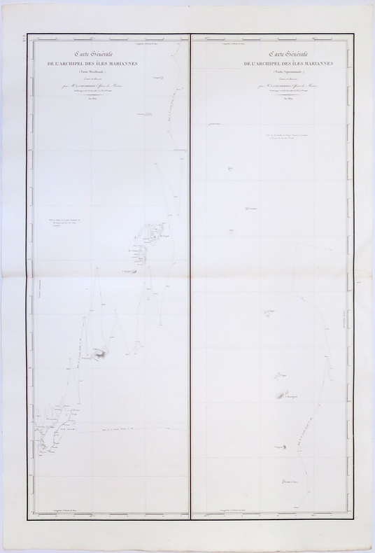
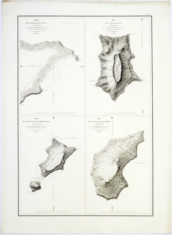
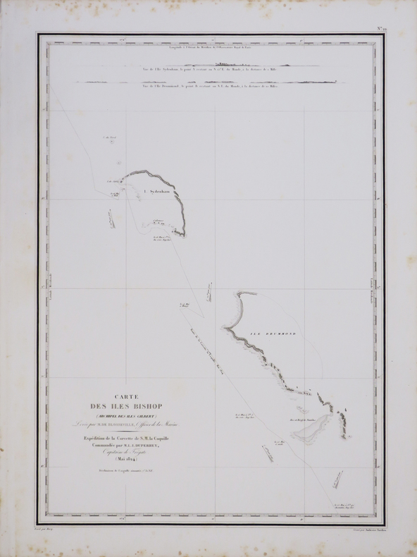
1827rif. LBW-4442[1827]. 498 x 351 mm.
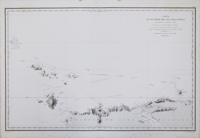
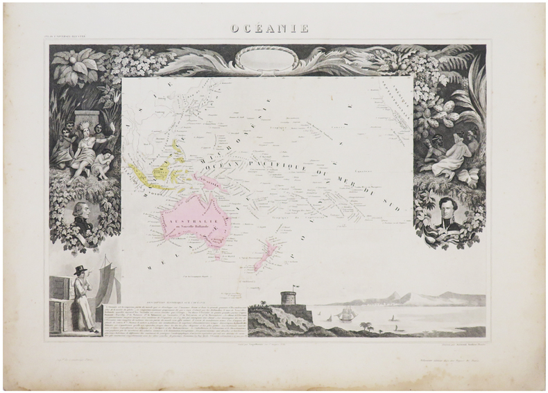
1827rif. LBW-4440[1827]. 496 x 772 mm.
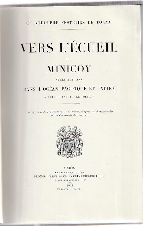
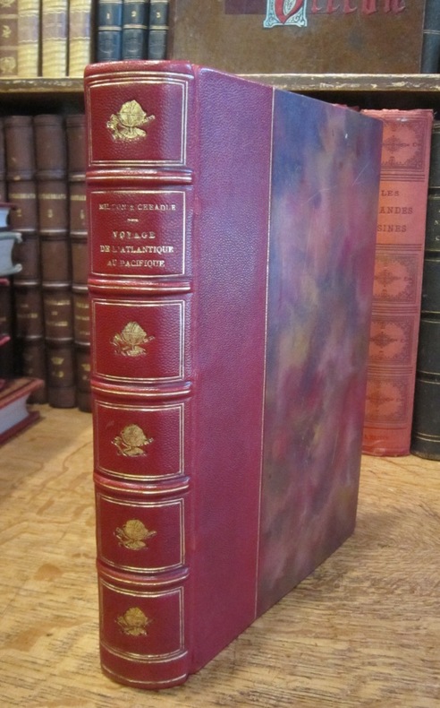
rif. 60187Paris, Librairie Plon, 1904, ouvrage orné de 174 gravures et de cartes, d'après les photographies et les documents de l'auteur, 355 pp. + planches et cartes, relié, très légères traces d'usage, bon état général.
1821rif. PHO-1025London: Longman, Hurst. 1821. in-8 ,XI + 320 pp. ,illustré avec 2 cartes (1 facsimilé)et 5 gravures in texte , relié pleine percale , dos lisse avec pièce de titre et auteur et date ,rousseurs sur le titre
1826rif. LBW-4987[Paris, 1826]. 766 x 507 mm.
1826rif. LBW-4989[Paris, 1826]. 494 x 331 mm.
1862rif. LBW-1136Paris, Jules Renouard, 1862. 354 x 490 mm.
1861rif. LBW-6953Paris, [1861]. 315 x 422 mm.
1841Carta geografica tratta dall’ Atlante geografico. Corredato di notizie relative alla geografia fisica politica, ed in generale alla statistica delle varie regioni del Globo. Compilato ed eseguito in litografia per cura e sotto la direzione di Benedetto Marzolla edito a Napoli nel 1858. Marzolla, autore di importanti atlanti sulle provincie del Regno di Napoli, è anche autore di diverse carte sulle Circoscrizioni Ecclesiastiche nel Regno delle Due Sicilie, pubblicate postume, nello stesso anno della morte (1858) a Napoli nello Stabilimento Geografico diretto da Luigi Manzella. Benedetto Marzolla fu disegnatore topografo e litografo; geografo e cartografo; membro della Commissione di statistica presso il Ministero dell'Interno. Personaggio di grandissimo rilievo nella cartografia napoletana ed italiana del XIX secolo, Marzolla ottenne in vita pubblici riconoscimenti ed attestati per la produzione cartografica di altissima qualità. La sua notorietà si è lentamente dissolta dopo la morte; va tuttavia osservato che solo la mancanza di uno spiccato coinvolgimento politico in senso risorgimentale e di una valenza letteraria nella sua opera non lo hanno reso famoso come i contemporanei Francesco Costantino Marmocchi (1805-1858) e Attilio Zuccagni-Orlandini (1783-1872), con i quali può certamente confrontarsi. I progetti culturali didattici e editoriali di Marzolla furono e rimangono di straordinaria modernità; egli inventò, è il caso di dire, un nuovo modo di intendere e di disegnare la carta geografica, fornendo una visione assolutamente originale della comunicazione dei dati geografici attraverso la combinazione di testo e immagine. Con tale operazione, egli riuscì a fondere in un'unica opera, storia, geografia, economia, statistica e cartografia, raggiungendo un equilibrio grafico di rara efficacia (cfr. V. Valerio, Benedetto Marzolla Brindisino, Geografo e Cartografo dell'800 Europeo, Brindisi 2008). Bell’esemplare con coloritura coeva dei contorni, in ottimo stato di conservazione. Bibliografia V. Valerio, Benedetto Marzolla Brindisino, Geografo e Cartografo dell’800 Europeo (2008), n. 60. Map taken from the Atlante geografico. Corredato di notizie relative alla geografia fisica politica, ed in generale alla statistica delle varie regioni del Globo. Compilato ed eseguito in litografia per cura e sotto la direzione di Benedetto Marzolla published in Naples in 1858. Marzolla, author of important atlases on the provinces of the Kingdom of Naples, is also the author of several maps on the Ecclesiastical Circumscriptions in the Kingdom of the Two Sicilies, published posthumously in the same year of his death (1858) in Naples in the Stabilimento Geografico directed by Luigi Manzella. Benedetto Marzolla was draftsman topographer and lithographer, geographer and cartographer. Character of great importance in the Neapolitan and Italian cartography of the nineteenth century, Marzolla obtained during his life public recognition and certificates for the production of high quality cartography. His notoriety slowly faded after his death; it should be noted, however, that only the lack of a strong political involvement in the sense of the Risorgimento and of a literary value in his work did not make him as famous as his contemporaries Francesco Costantino Marmocchi (1805-1858) and Attilio Zuccagni-Orlandini (1783-1872), with whom he can certainly compare himself. Marzolla's cultural, didactic and editorial projects were, and remain, extraordinarily modern; he invented a new way of understanding and drawing maps, providing an absolutely original vision of the communication of geographical data through the combination of text and image. With this operation, he was able to merge in a single work, history, geography, economics, statistics and cartography, achieving a graphic balance of rare effectiveness. Benedetto Marzolla is famous for being among the most important cartographers of the XIX century, for being the one to print geographic maps using high quality lithographies. His Atlante Geografico, made of 58 maps, presents finely sketched works. Six maps depict North America, among them famous map of gold diggers in California, deriving from Hippolite Ferry. Extremely relevant are also the maps of Antarctic, South Africa with the plan of Cape Town and those about Australia. Though the maps are dated between 1843 and 1856, this 1858 edition, printed in Naples at the Stabilimento Geografico Strada San Carlo (founded by Marzolla himself), represents the final version of his atlas, the last one before his death. A posthumous edition will be published in 1865. The atlas is pretty rare, is not actually listed in Phillips, British Library e OCLC. Beautiful specimen with contemporary coloring of the contours, in excellent condition. Bibliografia V. Valerio, Benedetto Marzolla Brindisino, Geografo e Cartografo dell’800 Europeo (2008), n. 60.
1866rif. 003178Hachette et Cie (Imprimerie Générale de Ch. Lahure), 1866
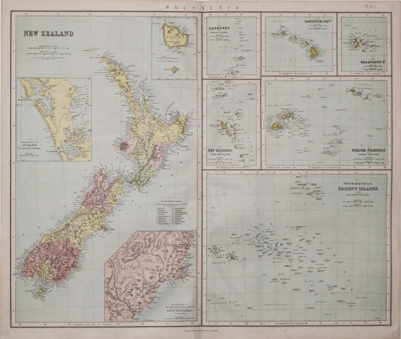
1865rif. LBW-3197London & Liverpool, Philip & Son, [circa 1865]. 520 x 610 mm.
1853rif. LBW-3418London, George Cox, 1853. 400 x 310 mm.
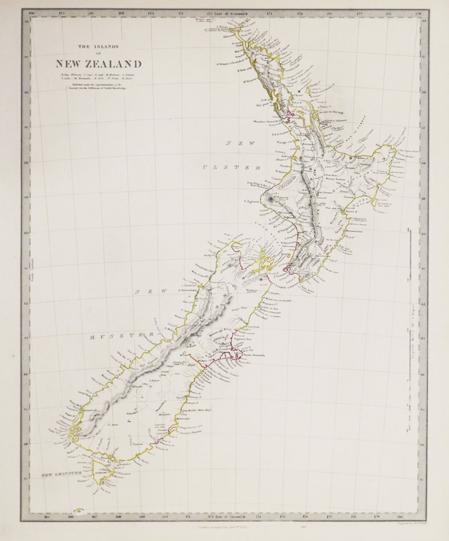
1838Carta geografica edita dalla "Society for the Diffusion of Useful Knowledge". Incisione in rame, coloritura coeva, in ottime condizioni. Map of the islands of New Zealand.Shows towns, mountains, rivers, lakes, and details concerning the uninhabited regions. The Society for the Diffusion of Useful Knowledge was active from the 1830s through the 1860s and published some of the best regional maps of the era.Published by Society for the Diffusion of Useful Knowledge. Steel engraving with original colour. Perfect condition.
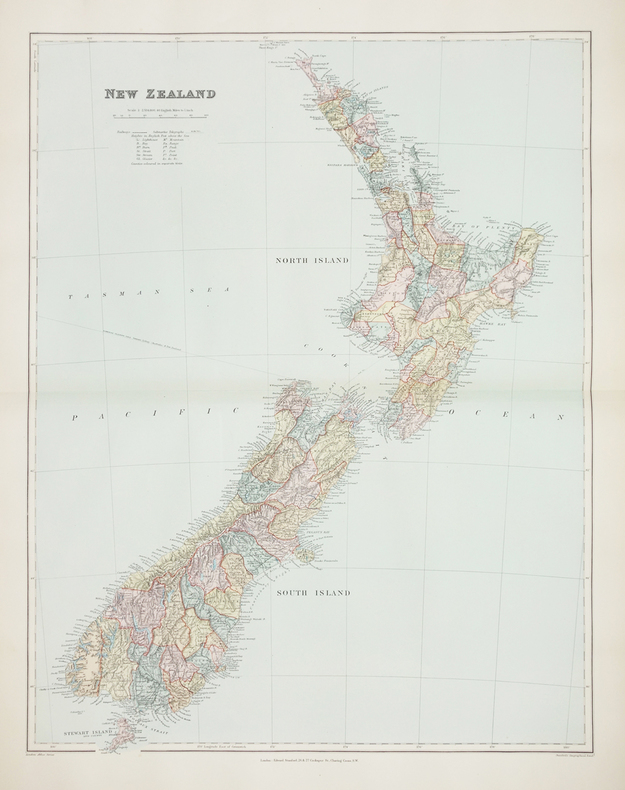
1896rif. LBW-2760London, Edward Stanford, [1896]. 606 x 470 mm.
1825rif. LBW-31631821 [1825]. 408 x 544 mm.
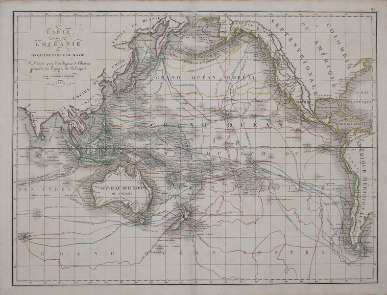
1827Carta apparsa nella sesta parte, "Océanique", dell'Atlas universel de géographie physique, politique, statistique et minéralogique di Vandermaelen. L'atlante fu prodotto in un'unica edizione nel 1827; furono venduti solo 810 esemplari completi. Questa grande opera, che comprende circa 378 mappe uniche e che fu compilata nell'arco di tre anni, fu il primo atlante litografico e il primo a rappresentare il mondo con la stessa proiezione e in una scala uniforme. Philippe Marie Guillaume Vandermaelen è stato un cartografo fiammingo attivo a Bruxelles nella prima parte del XIX secolo. A Vandermaelen si deve uno dei più notevoli sviluppi dell'impresa privata nella cartografia, ovvero il suo straordinario Atlas Universel de Geographie in sei volumi. Vandermaelen, nato a Bruxelles il 23 dicembre 1795, viene considerato come il più grande cartografo belga dopo Mercatore e Ortelius. Figlio di un medico che era diventato un ricco produttore di sapone, muovendosi in un ambiente commerciale e da autodidatta, divenne un commerciante di prodotti chimici e farmaceutici. Fanatico di geografia, la sua carriera subisce una svolta definitiva quando, nel 1825, inizia a pubblicare un rivoluzionario Atlas universel che lo consacra come cartografo. Primo atlante al mondo a rappresentare la Terra su una scala unica ed eccezionalmente grande, l'Atlas universel offriva la rappresentazione più ampia, completa e precisa mai realizzata. I suoi contemporanei lo capirono, come la Chiesa cattolica romana, che era in una fase di espansione. Negli anni Trenta del XIX secolo, Roma sosteneva che questo atlante era assolutamente il miglior atlante disponibile, prezioso strumento della sua politica missionaria nell'Oceano Pacifico e nelle isole meridionali. Bibliografia Marguerite Silvestre, Philippe Vandermaelen, Mercator de la jeune Belgique, 2016. Map appeared in the sixth part, 'Océanique,' of Vandermaelen's Atlas universel de géographie physique, politique, statistique et minéralogique. The atlas was produced in one edition in 1827; only 810 complete sets were sold. This great work, featuring some 378 unique maps and compiled over three years, was the first lithograph atlas, and the first to render the world on the same projection and at a uniform scale. Philippe Marie Guillaume Vandermaelen (December 23, 1795 - May 29, 1869) was a Flemish cartographer active in Brussels during the first part of the 19th century. Vandermaelen is created with "one of the most remarkable developments of private enterprise in cartography," namely his remarkable six volume Atlas Universel de Geographie. No one could have foreseen that Philippe Vandermaelen, born in Brussels on 23 December 1795, would become the greatest Belgian cartographer since Mercator and Ortelius. Son of a doctor who had become a wealthy soap maker, moving in a business environment and self-taught, he became a dealer of chemical and pharmaceutical products. As a geography fanatic, there was a definitive shift in his career when, in 1825, he began to publish a revolutionary Atlas universel which established him as a cartographer. As the first atlas in the world to represent the Earth on a single and exceptionally large scale, the Atlas universel offered the widest, most complete and most precise representation ever achieved. His contemporaries understood this, such as the Roman Catholic Church, which was in a phase of expansion. In the 1830s, Rome claimed that this atlas was “the best atlas available” and was the instrument of its missionary policy in the Pacific Ocean and the southern islands. Litograph, with original outline colour, very good condition. Bibliografia Marguerite Silvestre, Philippe Vandermaelen, Mercator de la jeune Belgique, 2016.
1827Carta apparsa nella sesta parte, "Océanique", dell'Atlas universel de géographie physique, politique, statistique et minéralogique di Vandermaelen. L'atlante fu prodotto in un'unica edizione nel 1827; furono venduti solo 810 esemplari completi. Questa grande opera, che comprende circa 378 mappe uniche e che fu compilata nell'arco di tre anni, fu il primo atlante litografico e il primo a rappresentare il mondo con la stessa proiezione e in una scala uniforme. Philippe Marie Guillaume Vandermaelen è stato un cartografo fiammingo attivo a Bruxelles nella prima parte del XIX secolo. A Vandermaelen si deve uno dei più notevoli sviluppi dell'impresa privata nella cartografia, ovvero il suo straordinario Atlas Universel de Geographie in sei volumi. Vandermaelen, nato a Bruxelles il 23 dicembre 1795, viene considerato come il più grande cartografo belga dopo Mercatore e Ortelius. Figlio di un medico che era diventato un ricco produttore di sapone, muovendosi in un ambiente commerciale e da autodidatta, divenne un commerciante di prodotti chimici e farmaceutici. Fanatico di geografia, la sua carriera subisce una svolta definitiva quando, nel 1825, inizia a pubblicare un rivoluzionario Atlas universel che lo consacra come cartografo. Primo atlante al mondo a rappresentare la Terra su una scala unica ed eccezionalmente grande, l'Atlas universel offriva la rappresentazione più ampia, completa e precisa mai realizzata. I suoi contemporanei lo capirono, come la Chiesa cattolica romana, che era in una fase di espansione. Negli anni Trenta del XIX secolo, Roma sosteneva che questo atlante era assolutamente il miglior atlante disponibile, prezioso strumento della sua politica missionaria nell'Oceano Pacifico e nelle isole meridionali. Bibliografia Marguerite Silvestre, Philippe Vandermaelen, Mercator de la jeune Belgique, 2016. Map appeared in the sixth part, 'Océanique,' of Vandermaelen's Atlas universel de géographie physique, politique, statistique et minéralogique. The atlas was produced in one edition in 1827; only 810 complete sets were sold. This great work, featuring some 378 unique maps and compiled over three years, was the first lithograph atlas, and the first to render the world on the same projection and at a uniform scale. Philippe Marie Guillaume Vandermaelen (December 23, 1795 - May 29, 1869) was a Flemish cartographer active in Brussels during the first part of the 19th century. Vandermaelen is created with "one of the most remarkable developments of private enterprise in cartography," namely his remarkable six volume Atlas Universel de Geographie. No one could have foreseen that Philippe Vandermaelen, born in Brussels on 23 December 1795, would become the greatest Belgian cartographer since Mercator and Ortelius. Son of a doctor who had become a wealthy soap maker, moving in a business environment and self-taught, he became a dealer of chemical and pharmaceutical products. As a geography fanatic, there was a definitive shift in his career when, in 1825, he began to publish a revolutionary Atlas universel which established him as a cartographer. As the first atlas in the world to represent the Earth on a single and exceptionally large scale, the Atlas universel offered the widest, most complete and most precise representation ever achieved. His contemporaries understood this, such as the Roman Catholic Church, which was in a phase of expansion. In the 1830s, Rome claimed that this atlas was “the best atlas available” and was the instrument of its missionary policy in the Pacific Ocean and the southern islands. Litograph, with original outline colour, very good condition. Bibliografia Marguerite Silvestre, Philippe Vandermaelen, Mercator de la jeune Belgique, 2016.
1992rif. 018756N.Y.: Bantam 1992. 1st ed. with full number line 10 9 8 7 6 5 4 3 2 1. Fine in dust jacket with protective mylar cover. Not price-clipped. SIGNED at title page. A SHAMUS AWARD FINALIST for Best Novel of the year and an ANTHONY AWARD FINALIST for Best Mystery of the Year. Crais scarecest title. "Lullaby Town is Chelam Connecticut where L.A. shamus Elvis Cole The Monkey's Raincoat 1987--not reviewed goes in search of Karen Shipley divorced ten years earlier by boyish filmmaker Peter Alan Nelsen who's since developed deep pockets courtesy of a string of action hits beginning with Chainsaw and a conscience of sorts. Just when it looks like Elvis has found Karen and her son Toby all too easily Karen turns out to be laundering money for the Mafia and the story takes off like a two-stage rocket. It'll take all of Elvis's wise-guy savvy to pry Karen loose from those other wise-guys without condemning her to the witness-protection program or the East River. Elvis is as sharp as a West Coast Spenser.and this story is pure pleasure from the very first page". -- Kirkus Review. Signed by Author. First Edition. Hard Cover. Fine/Fine. Book. Bantam Hardcover
1935rif. 021573Garden City New York: Crime Club By Doubleday & Company Inc. 1935. First Edition so stated. Now in beautiful facsimile dust jacket in protective mylar cover. Her First Book and the first in the Sheriff Rocky Allen series. Very minor wear else about fine. Previous owner's name at front endpaper along with label. Very scarce. Alfred Leale wealthy lumber king buys an old mountain resort hotel in North California moving his family there for the winter. Temporary deputy sheriff Rocky Allen who is off work sick due to a car accident three months ago decides to go along with his friend to Dayton Folly to drop off some supplies. He arrives on the scene just in time to witness the family patriarch keel over in the snow after taking a snifter from his brandy filled flask. A snowstorm cuts them off from help One of his house guests Theophilus Pope is quickly sure he died of poisoning and it is soon revealed that Pope had been invited along by Leale as a form of guard since he believed his life was in danger. Pope and Allen join forcess to solve crime while Allen must confront his feelings about a certain red-haired nurse who might just be a suspect. See "The Passing Tramp" blog of Saturday July 6 2019 for an excellent and detailed synopsis of the book and Rath herself. This copy although not marked as such originates from the auction of Gary Gorton's collection of detective fiction. . First Edition. Hardcover. Near Fine. Book. Crime Club By Doubleday & Company, Inc.
rif. DADAX1843767805New unknown
rif. DADAX041574430XNew unknown
rif. DADAX0415438098New unknown
1940rif. 725unknown: Pacific Telephone & Telegraph Company 1940. 18 x 16 inches. Good condition with map nicely mounted on mildly acidic board. This is a comprehensive compilation of long distance phone lines in the Pacific Northwest. The map goes from Crescent City California in the South to Nelson BC in the north. It goes from Buffalo Hump Idaho in the east to Zumwalt Oregon in the west. It is a fine print masterpiece getting a plethora of switching stations in the map. ðŸ—ºï¸ It is printed on paper mounted on board. The overall map is tanned from the mounting on a board with an acidic base. The browning is light and not aggressive and will respond well to deacif=dification. Pacific Telephone & Telegraph Company unknown
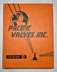
1959rif. 1394Pacific Valves Inc. Catalog G – Cast & Forged Steel Asbestos Parts 1959 Vintage Hardcover Reference Research Copyright 1959 published by Pacific Valves Inc. Long Beach CA. 240 pages. There is an extra insert Bulletin BV-2 that is included. Catalog G features steel valves by Pacific some of which utilized gaskets with Asbestos material. Catalog is divided into separate sections: cast steel valves small steel valves stainless steel corrosion-resistant valves and "Y" globe valves. Orange hardcover shows wear to include spine lean black smudges scuffs soiling nicks scratches bumped corners and edges bumped spine head and tail and nicks to the edges. Hard creases throughout with a wavy textblock. The textblock and pages are tanning with spots. Previous owner's stamps on the pastedowns and index page. There are small markings smudges and scuffs throughout the text but nothing significant. Overall this book is in Very Good minus VG- condition. Pacific Valves, Inc. hardcover
1928rif. 18880n.p.: Southern Pacific Lines 1928. First edition. Rubbed and retouched area at center of rear board else fine. Original reptile-skin patterned boards oblong quarto 8.75 x 15 inches 20 leaves printed on rectos only. 9 large group photographs several portrait photos of SP executives. Laid in loose are 1 5.5 x 9.5-inch cyanotype photo print of a locomotive works and 1 vintage 6 x 8.5-inch silver print photograph of a coal-fired locomotive and crew. Also laid in is a typed letter dated San Francisco July 3 1929 signed J. N. Clark to Mr. O. B. Schoenky presenting this album. Dated ink stamp recording receipt of Southern Pacific Co. Los Angeles Cal. July 5 1929 at top of sheet. Both sender and recipient are pictured in the management portraits portion of the album. Founded in 1865 1929 was Southern Pacific's heyday with 13848 miles of their own track. A fine piece of railroading history. Southern Pacific Lines hardcover