[Viennensia - Harmonietheater].MareMagnum

11.782 resultados
1870725:590 mm. Lithogr. Faltplan in 30 Segmenten, auf Leinen aufgezogen. Im originaler goldgepr. Leinenmappe der Wiener Feuerwehr. Von der Feuerwehr der Stadt Wien gedruckter Straßenplan, der die Zufahrt zum Musiktheater "Orpheum" in der Wasagasse sowie die Lage der Hydranten und die Stellplätze für Mannschafts-, Schlauch-, Lösch-, Rüstwagen und Dampfspritze veranschaulicht. Zeigt auch Grundrisse aller Stockwerke des Hauses. Der dargestellte Bereich des 9. Bezirks reicht von der Beethovengasse bis zur Grünentorgasse. - Das 1864/65 von Otto Wagner erbaute Harmonietheater wurde 1866 eröffnet; in diesem Jahr hatte Ludwig Anzengruber unter dem Namen "Gruber" seinen erster Auftritt. Schon 1868 zum "Orpheum" umgestaltet, erlebte das Haus 1872 als "Danzers Orpheum" seine große Blüte. 1900 renoviert und in ein intimes Theater umgestaltet, wurde es 1908 als Sprechbühne mit dem Namen "Neue Wiener Bühne" eröffnet und 1928 geschlossen.
1700Panorama della città nel classico stile olandese. Incisione in rame, in perfette condizioni. Sconosciuta ai repertori, rarissima. Panorama della città nel classico stile olandese. Incisione in rame, in perfette condizioni. Sconosciuta ai repertori, rarissima.
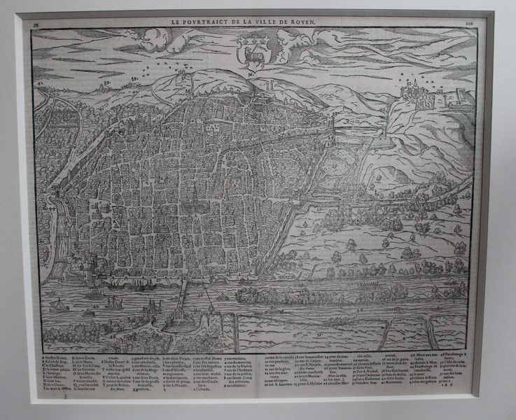
ref. 20642Paris, Nicolas Chesneau, 1575. Gravure sur bois de 40 cm x 33 cm, légende avec lettres et numéros dans la marge inférieure désignant les rues et monuments, texte en français au verso. Très bon état. Sous verre dans un cadre moderne en chêne foncé, 53 x 47 cm.
1704ref. LBW03599Amsterdam Pierre Mortier 1704-1705 410 x 541 mm.
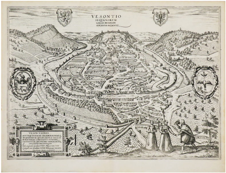
1575ref. LBW-7194[Cologne, 1575]. 353 x 493 mm.
1793ref. 118001793 toilée. carte pliée, 77 x 91 cms. P. Basset, An II (1793)
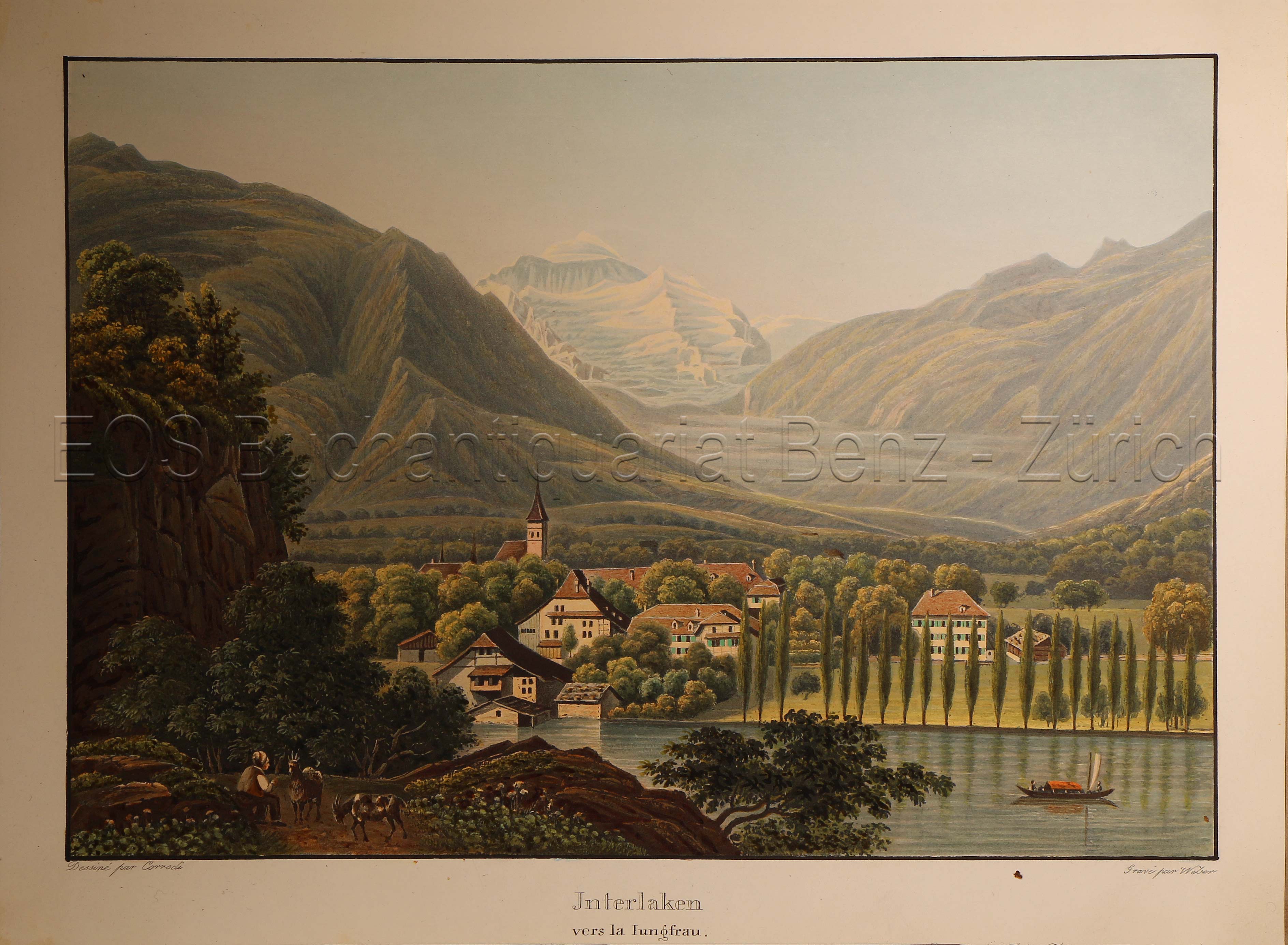
1935ref. 617DGO.O., um 1935. Altkolorierte Aquatinta von Lukas Weber (1811-1860). Bildgrösse: 17,7 x 25,2 cm. Blattgrösse: 20,9 x 28,2 cm. + Wichtig: Für unsere Kunden in der EU erfolgt der Versand alle 14 Tage verzollt ab Deutschland / Postbank-Konto in Deutschland vorhanden +, Abb.
1910ref. 43078Paris, Librairie du tourisme, (1910-1911). 2 tomes en 2 vol. in-12 X-394 pp., 3 cartes repliées volantes à l'intérieur du plat inférieur (Indes, Île de Ceylan, Planisphère) ; XXX-734 pp., 2 cartes repliées volantes à l'intérieur du plat inférieur (Australie et Tasmanie, Planisphère), percaline rouge avec titre doré sur le dos et le plat supérieur (reliure de l'éditeur).
1889Outside dimensions 14.5" x 21.75". Unmarked with light wear and soiling. An attractive vintage copy. Book
ref. 5666notamment dans le territoire de NATAL,dans celui des Cafres Amazoulous et Makatisses et jusqu’au tropique du Capricorne exécuté durant les années 1838 1839 1840 1841 1842 et 1844. Avec une introduction par M.ALBERT-MONTEMONT.Deux tomes en un volume in 8 demi-chagrin rouge époque,titre,fer,filet, roulette dorés,filets à froid.Tome 1:faux-titre,portrait de l’auteur lithographié par GRENIER,sous serpente;titre,XVI, 580 pages,5 lithographies hors-texte,y compris le frontispice.Une carte dépliante pour l’intelligence du voyage(une tache brun-clair)Tome 2:faux-titre,titre,622 pages,3 lithographies hors-texte,une carte de chasse, dépliante,indiquant les lieux qu’habitent les diverses espèces d’animaux paris A.René & Cie 1847,quelques rousseurs éparses;Sinon très bon état.Un des premiers grands voyages cynégétiques sur le continent africain.Il explora pendant 6 année l’Afrique Australe partant de Cape Town,il visita d’abord la plaine désertique du Grand Karou puis prenant Port Natal comme base de départ,il se rendit en Cafrerie,remonta vers le nord en longeant la chaîne du Drakensberg,qu’il traversa. Il visita ensuite le Natal, le Zoulouland,franchit le Waal et parcourut les territoires de la baie de Delagoa appartenant aux portugais.Il effectua de nombreuses parties de chasse dans le but de reunir des spécimens rares,destinés aux musées d’histoire naturelle. Thiébaud 259 Gay 3215
1824ref. 131081824 cartonnage, étiquette vieux rose. in-4, 20pp., 8pp., 1 pl., ; 8pp., 1 carte dépl. ; 8pp., 1 pl. dépl.; 8pp., 1 pl. dépl. ; 8pp., 1 pl., 1 carte dépl. ; 8pp., 1 pl. ; 8pp., 1 plan de Paris dépl. P. Hautecoeur-Martinet (ca. 1824)
1658ref. 24912Amsterdam JANSSONIUS Joannes 1658 une carte ancienne gravée sur cuivre (Copper etching) en noir et couleurs d'Epoque. Format : 44,5 cm de haut x 55 cm de large, pli central vertical normal venant d'un atlas( horizontal centerfold), texte en latin au verso, carte ornée de 4 cartouches richement ornés de 20 angelots et dun paysan entrain de ramasser des pommes. carte double page gravée et colorée à la main d'époque, provenance : "Atlas novus, sive theatrum orbis terrarum : In quo Galliae, Helvetiae(Volume II)", 1658 Amsterdam JANSSONIUS Joannes Editeur,
1729ref. 79avec un catalogue des principaux historiens,et des remarques sur la bonté de leurs ouvrages,et sur le choix des meilleures éditions. Nouvelle édition augmentée et ornée de cartes géographiques. Paris, Pierre Gandouin, 1729 4 forts vol. in-4° (23 x 29,5 cm), avec 23 cartes dépliantes, reliures plein veau glacé d'époque, dos à 5 nerfs très richement orné, pièces de titre et de tomaison de maroquin rouge, tranches rouges, gardes marbrées. Première édition in-4° de ce remarquable travail de méthodologie historique, sans équivalent sous l'Ancien Régime. Tome I. faux titre, Titre, 16 pages (préface et tables) + 568 pages, avec 11 cartes dépliantes. Tome II : titre et table des chapitres, 576 pages, avec 12 cartes dépliantes. Tome III : 6 feuillets non chiffrés (titre, table des chapitres), 128 pages ( Canons chronologiques de l'histoire ancienne + 428 pages (catalogue des principaux historiens). Tome IV : 5 feuillets non chiffrés (titre, table des chapitres) + 545 pages (catalogue des principaux historiens)+ 5 pages de catalogue et privilège L'auteur, se propose, et c'est l'un des premiers à le faire, de donner à l'historien une méthode de travail. Il insiste d'abord sur l'importance de la géographie, notamment de l'étude des cartes. Il s'attache ensuite à l'étude des coutumes, de la chronologie et des chroniques et passe aux différents épisodes de l'histoire ancienne pour l'application de sa méthode, puis à l'histoire des principaux pays européens en donnant une place importante à l'histoire de France et de ses régions. Il n'oublie de surcroît aucune des sciences auxiliaires de l'histoire : héraldique, sigillographie, inscriptions, etc., et donne un très important Catalogue des Historiens qui forme une bibliographie critique de l'histoire de France.
1791ref. Arm310Paris Barrois 1791 In12 ( 17 x 11 cm ) - demi veau a coins - 4ff , XXXII + 285 pages - Carte du Lac Trasimène en frontispice et une très grande carte dépliant de l'Europe établie en 1783 par La Rochette . Ex Libris De Barante . Dutens a publié son itinéraire pour la première fois en 1775 . Toutes les éditions suivantes ont été remises à jour et augmentées .
1791ref. Arm310Paris Barrois 1791 In12 ( 17 x 11 cm ) - demi veau a coins - 4ff , XXXII + 285 pages - Carte du Lac Trasimène en frontispice et une très grande carte dépliant de l'Europe établie en 1783 par La Rochette . Ex Libris De Barante . Dutens a publié son itinéraire pour la première fois en 1775 . Toutes les éditions suivantes ont été remises à jour et augmentées .
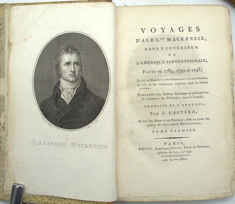
1802ref. PHO-2218Paris, Dentu, an X (1802), 4 volumes in-8 reliés demi cuir, dos lisses ornés avec titre et tomaison, XX + 409 + 420 + 388 pages illustrées d'un portrait de l'auteur, en frontispice, par Laurence gravé par Adam, et de 2 grandes cartes sur 3 (déchirures, mouillures), le tome I contient un vocabulaire Algonquin, Knisteneaux et Chipiouyane et le tome 4 contient les cartes. Tome 1 reliure différente (non rogné), plats frottés, coins usés, charnières usées, coiffe arasée, bords de la reliure du tome 1 abimés, rousseurs, petite mouillure.
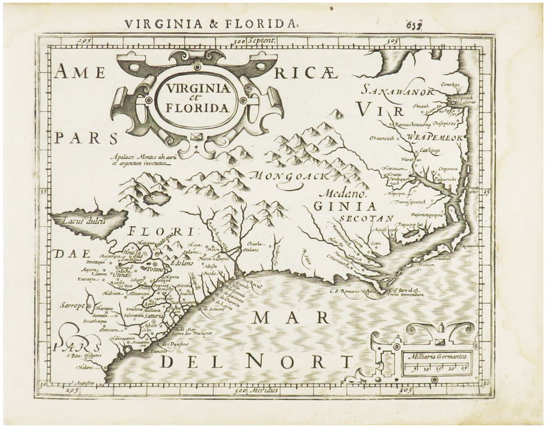
1610ref. LBW06154[Dordrecht, Adrianus Bottius, 1610]. 152 x 183 mm.
1584Carta proveniente dall'edizione latina del Parergon sive veteris geographiae aliquot tabulae di Ortelius, raccolta di carte antiche pubblicata per la prima volta nel 1578 come supplemento al Theatrum Orbis Terrarum. Esso era seguito anche da un Nomenclator Ptolemaicus, elenco di tutti i nomi geografici che comparivano nella Geographia di Tolomeo. Questa tavola rappresenta, diversamente orientate ad Est o a Nord, Creta e altre isole dello Ionio, Sardegna e Corsica, ciascuna con margine graduato, longitudine e latitudine, inserite in riquadri in cui è riportato anche un elenco di luoghi dalla posizione sconosciuta. Il retro del foglio, riporta la descrizione in latino delle isole rappresentate. Tratta dal Parergon, il primo atlante storico mai pubblicato. Fu inizialmente concepito da Ortelius come appendice del suo Theatrum Orbis Terrarum ma visto il notevole successo di queste carte storiche divenne in seguito un lavoro indipendente e rimase la fonte principale di tutti i lavori simili per tutto il XVII secolo. Come sottolinea Koeman “il Parergon deve essere considerato come lavoro personale di Ortelius. Per quest'opera, infatti, diversamente dal Theatrum, non copiò le mappe di altri cartografi, ma ne disegnò lui stesso di nuove ed originali…prese luoghi, regioni e territori delle civiltà classiche illustrandone e spiegandone la storia, una materia molto vicina al suo cuore. Le mappe e le lastre del Parergon devono essere valutate come le più importanti incisioni che rappresentano il diffuso interesse per la geografia classica nel XVI secolo”. Il Theatrum Orbis Terrarum e che è considerato il primo vero “atlante” moderno. L’opera fu pubblicata in 7 lingue e 36 edizioni, per il quale – nel 1570 - Ortelius ottenne il privilegio, ovvero una sorta di diritto d'autore che impediva ad altri cartografi di pubblicare i propri lavori. Il Theatrum rappresentava il lavoro più avanzato del lavoro della descrizione cartografica. L’Ortelius vi raccolse il sapere geografico e cartografico del suo tempo, proponendo in 147 spettacolari tavole incise l’immagine più fedele del mondo allora conosciuto e, in alcune straordinarie “carte storiche”, regioni e itinerari tratti dalla letteratura, dalla mitologia, dalla tradizione. Incisione in rame, fine coloritura, in ottimo stato di conservazione. Map of islands of the Mediterranean taken from Ortelius' Parergon; a large map of Crete is at the bottom half of the sheet, with smaller maps of Corsica, the Greek Islands and Sardinia. The Parergon is the first historical atlas ever published. It was initially conceived by Ortelius as an appendix to his Theatrum Orbis Terrarum, but given the considerable success of these historical maps it later became an independent work and remained the main source of all similar works throughout the seventeenth century. Koeman wrote: "This atlas of ancient geography must be regarded as a personal work of Ortelius. For this work he did not, as in the Theatrum, copy other people's maps but drew the originals himself... He took many places and regions from the lands of classical civilization to illustrate and clarify their history, a subject very close to his heart... The maps and plates of the Parergon have to be evaluated as the most outstanding engravings depicting the wide-spread interest in classical geography in the 16th century." The Theatrum Orbis Terrarum, which is considered the first true modern "Atlas". The work was published in 7 languages and 36 editions, for which - in 1570 - Ortelius obtained the privilege, a kind of copyright that prevented other cartographers from publishing his works. The Theatrum represented the most advanced work of cartographic description. Ortelius collected in it the geographical and cartographic knowledge of his time, proposing in 147 spectacular engraved plates the most faithful image of the world then known and, in some extraordinary "historical maps", regions and routes taken from literature, mythology, tradition. Copper engraving, contemporary coloring, in good condition. Van den Broecke 217; Zacharakis, Greece 1621.
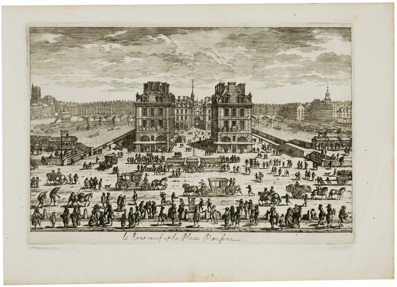
1690ref. LBW-730[Paris, circa 1690]. 183 x 274 mm.
1572Tratta da L'isole più famose del mondo (ed. 1620) in cui il Porcacchi (1530-1585) continua idealmente la tradizione iniziata da Cristoforo Buondelmonti con il primo isolario (manoscritto) risalente al 1420, seguito da quelli di Bartolomeo dalli Sonetti, Bordone e Camocio. In quest'opera vengono descritte tutte le isole conosciute al tempo, con la descrizione geografica e fisica, e con la presentazione degli usi e costumi degli abitanti.L'opera è, per la prima volta, pubblicata nel volume L’isole Piu Famose Del Mondo Descritte Da Thomaso Porcacchi Da Castiglione Aretino E Intagliate Da Girolamo Porro Padovan di Tommaso Porcacchi (ca. 1532-1576), umanista e letterato originario di Castiglion Fiorentino.Gli interessi geografici coltivati sin dal Pomponio Mela del 1557 diedero vita nel 1572 al trattato, pubblicato dalla società tra il libraio Simone Galignani e l’incisore padovano Girolamo Porro, che si servirono della tipografia di Giorgio Angelieri (con privilegio di 10 anni concesso il 16 luglio 1572). Secondo Valerio (cfr. Valerio-Spagnolo, Sicilia 1477-1861, La Collezione Spagnolo-Patermo in quattro secoli di Cartografia, 2014, p. 163) il volume sarebbe stampato nell’officina di Domenico e Giovan Battista Guerra. Il volume, in formato in quarto, con dedica di Galignani a don Giovanni d’Austria, presenta le magnifiche tavole calcografiche di Porro (una seconda edizione, cospicuamente accresciuta di testo e tavole, usci nel 1576, poi ancora, postume, nel 1590, 1604, 1605, 1620 e 1686). Nella lettera dedicatoria Porro narra di essere stato il promotore dell’operazione e di aver incaricato Porcacchi di scrivere un libro sulle isole, riservandosene l’illustrazione. Il modello e quello degli “isolari”, sul quale però Porcacchi innesta lo spirito delle corografie antiche, aggiungendo per ciascuna isola una descrizione fisica, storica e culturale. La concezione e molto ampia (sono comprese penisole, grandi isole come l’Inghilterra o interi continenti: l’America Settentrionale), ma nel “Prohemio” Porcacchi fornisce un glossario di termini geografici che testimonia lo sforzo di impiegare in maniera corretta la terminologia della disciplina (cfr. Franco Pignatti, Porcacchi Tommaso, in "Dizionario Biografico degli Italiani" - Volume 85, 2016). Nel testo vi sono mappe di isole incise su mezza pagina, compreso il planisfero – riduzione della carta murale di Camocio del 1567 e la “carta da navigare con le rotte e i venti, di derivazione gastaldina. Incisione in rame posta nella parte superiore del foglio che contiene anche la parte descrittiva, in ottimo stato di conservazione. Charming miniature map of the world on an oval projection, engraved by Girolamo Porro after a larger world map by Camoccio on the Gastaldi prototype. The huge mythical Terra Incognita dominates the Southern Hemisphere. On a full sheet (8.3 x 11.6") of Italian text with decorative capital letter below map and page 193 above. Italian text continues on the verso. A fine impression minor soiling outside the map.Map taken form L’isole Piu Famose Del Mondo Descritte Da Thomaso Porcacchi Da Castiglione Aretino E Intagliate Da Girolamo Porro Padovan by Tommaso Porcacchi (ca. 1532-1576), humanist and scholar from Castiglion Fiorentino. The geographical interests cultivated since Pomponio Mela in 1557 gave life to the treatise published in 1572 by the company between the bookseller Simone Galignani and the Paduan engraver Girolamo Porro, who used the typography of Giorgio Angelieri (with the privilege of 10 years July 1572). The volume, with a dedication by Galignani to Don Giovanni d'Austria, presents the magnificent calcographic plates by Porro (a second edition, conspicuously augmented with text and tables, came out in 1576, then again, posthumously, in 1590, 1604, 1605, 1620 and 1686). In the dedicatory letter Porro tells of having been the promoter of the operation and of having entrusted Porcacchi with writing a book on the islands, reserving the illustration. The model is that of the "isolari", on which however Porcacchi inserts the spirit of ancient chorographies, adding a physical, historical and cultural description for each island. The concept is very broad (including peninsulas, large islands such as England or entire continents: North America), but in the "Prohemio" Porcacchi provides a glossary of geographical terms that testifies to the effort to correctly use the terminology of the discipline (see Franco Pignatti, Porcacchi Tommaso, in "Dizionario Biografico degli Italiani" - Volume 85, 2016). In the text there are maps of islands engraved on half a page, including the planisphere - reduction of the wall map of Camocio of 1567 and the "carta marina”.Copperplate placed at the top of the sheet also including a descriptive part, in very good condition. R. W. Shirley, "The Mapping of the world", 127
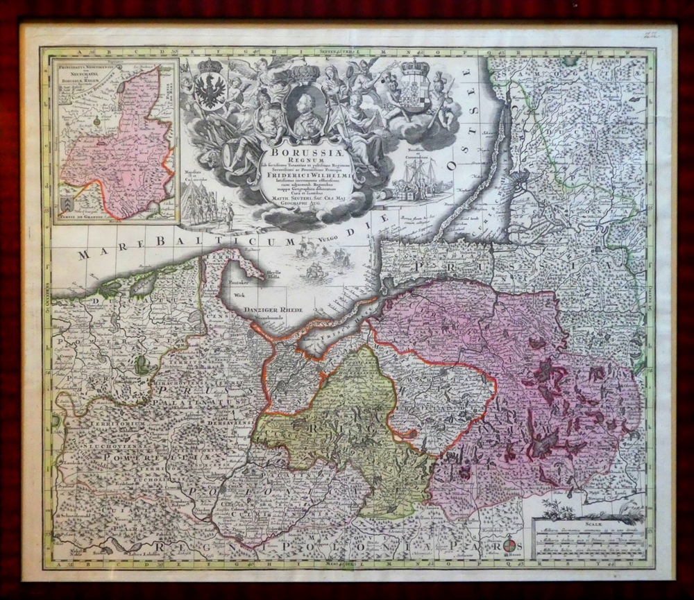
1730ref. 76480Augsburg, [ca. 1730]. 49,5 x 58 cm im Rahmen (57 x 66 cm). (Mit handschriftl. Pagina 22 (oben rechts) von alter Hand.
1816Schematica veduta a contorno di Roma da Monte Mario, pubblicata nel 1816, e ristampata più volte assieme al testo esplicativo, che, priva di finalità artistiche, era indirizzata, come avverte l'autore, "à l'usage des voyageurs". Si tratta del "Pantogramma des Environs de Rome destiné à faire suite au Plan Topographique due même pays" di F. Ch. L. Sickler, Membre de l'Academie des Antiquités à Rome". Nelle otto fitte righe presenti nella parte superiore dell'incisione, oblunga e in tre rami, sono riportati i nomi degli antichi popoli del Lazio, delle località e paesi dei dintorni, antichi e moderni, i monumenti più importanti, le chiese, molti palazzi e le strade principali del centro cittadino.Acquaforte, impressa su carta vergata coeva, più volte ripiegata, leggere ossidazioni per il resto in ottimo stato di conservazione. Schematic view of Rome from Monte Mario, published in 1816, that was realized "à l'usage des voyageurs". Taken from the "Pantogramma des Environs de Rome destiné à faire suite au Plan Topographique due même pays" by F. Ch. L. Sickler, Membre de l'Academie des Antiquités à Rome ".In the eight dense lines in the upper part of the engraving are listed the names of the ancient peoples of Lazio, the localities and villages of the surroundings, ancient and modern, the most important monuments, churches, many palaces and streets of the city center.Etching, printed on contemporary laid paper and folded, some foxing otherwise very good. Frutaz p. 12; Roma Veduta pp. 88-89; Arrigoni Bertarelli n. 208.
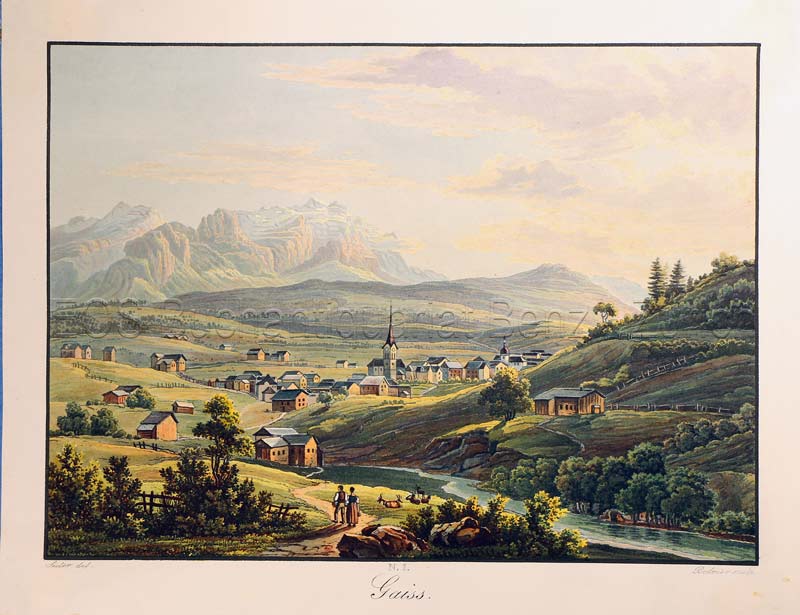
1835ref. 783CGO.O., um 1835. Altkolorierte Aquatinta von Rudolf Bodmer (1805-1841). Bildgrösse: 14,1 x 19,5 cm. Blattgrösse: 17 x 22 cm. + Wichtig: Für unsere Kunden in der EU erfolgt der Versand alle 14 Tage verzollt ab Deutschland / Postbank-Konto in Deutschland vorhanden +, Abb.
ref. 52084Photographe-éditeur, imprimerie Borel et Feraud , Gignac-la-Nerthe ,1997
1690Acquaforte e bulino, circa 1690. "In alto al centro lo stemma SPQR sormontato da una corona. Il prototipo iniziale per questo tipologia di panorami è identificabile nel panorama inciso dal Silvestre nel 1642 (si vedano tra l'altro i campanili di San Pietro all'epoca appena costruiti ed immediatamente dopo demoliti per ragioni statiche) e dunque raffigura Roma alla metà del '600. Gli edifici sono poco riconoscibili ed il Tevere segue un errato percorso sotto Trinità dei Monti. La stampa mostra un primo piano con colline ed alberi in controluce senza personaggi, e una legenda di 12 voci. Il nome dell'autore non è scritto sull'incisione ma solo sull'opera che non è stato comunque possibile reperire; non è chiaro neppure se il Wagner sia l'autore o l'editore. Incisa prima del 1694, anno in cui Wagner morì. Secondo alcuni studiosi l'editore potrebbe essere J. Wollf e la data di pubblicazione spostata a circa al 1710" (cfr. Marigliani p. 198). Buono stato di conservazione. Rara. Etching and engraving, circa 1690. In the top centre the SPQR coat of arms surmounted by a crown. The initial prototype for this type of panorama is identifiable in the panorama engraved by Silvestre in 1642 - see among other things the bell towers of St. Peter's that had just been built and immediately afterwards demolished for static reasons - and therefore depicts Rome in the mid 17th century. The buildings are hardly recognisable and the Tiber follows a wrong path under Trinità dei Monti. The print shows a foreground with hills and trees against the light without any characters, and a key-legend of 12 items. The name of the author is not written on the engraving but only on the title page, which could not be found anyway; it is not clear either if Wagner is the author or the publisher. Engraved before 1694, the year Wagner died. According to some scholars the publisher could be J. Wollf and the date of publication moved to around 1710" (cf. Marigliani p. 198). Good state of preservation. Rare. C. Marigliani, "Le Piante di Roma delle collezioni private", tav. 103.