ref. 18960Meyras, Association de Sauvgarde du château-fort de Ventadour, s.d. (années 70), 1 carte postale en couleurs de 15 x 11 cm, vue de l'intérieur du château.
ref. 18961Meyras, Association de Sauvgarde du château-fort de Ventadour, s.d. (années 70), 1 carte postale en couleurs de 15 x 11 cm, vue de la face ouest.
ref. 17271Saint-Etienne de Boulogne, cliché Prinsac, collection "l'Ardèche Pittoresque", s.d. (vers 1910), 1 carte postale de 14 x 9cm, 2 petites taches de rousseurs ;
ref. 17845Tournon, photo J. Taffala, s.d. (vers 1942), 1 Carte postale de 9 x 14 cm, texte autographe, signé de l'abbé A. Prat au verso.
ref. 5178Paris Librairie Larousse 1915-19. 1st Edition . Hardcover. . ~ ~ NOTE: THE PRICE OF THIS BOOK IS CURRENTLY REDUCED! ~ ~ . 41 issues bound in one volume. Thick royal quarto. Unpaginated. With hundreds of letterpress maps many of which are in colour printed on recto only on 246 leaves of plates. Some photo-plates. Explanatory text to each map. Introductions. HARDCOVER bound in handsome brown quarter morocco bit rubbed and scuffed in places spine with raised bands gilt lettering to second compartment gilt fleuron to each of the others vellum French corners marbled endpapers with original yellow card wrapper of first issue bound-in. In about fine condition. Excellent copy. ~ FIRST EDITION. Very rare. G-3 Paris, Librairie Larousse, (1915-19). hardcover
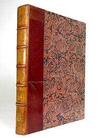
ref. 1965Paris Librairie Larousse 1915-19. 1st Edition . Hardcover. . ~ ~ NOTE: THE PRICE OF THIS BOOK IS CURRENTLY REDUCED! ~ ~ . 41 issues bound in one volume. Thick royal quarto. Unpaginated. With hundreds of letterpress maps many of which are in colour printed on recto only on 246 leaves of plates. Some photo-plates. Explanatory text to each map. Introductions. HARDCOVER bound in contemporary quarter cloth bit rubbed and scuffed in places paper-covered boards cloth inner hinges spine gilt. All 41 original yellow card wrappers printed in red are preserved and bound-in few with old institutional stamp; expert paper repair to one leaf with minor loss. In about fine condition. Excellent copy very well preserved. ~ FIRST EDITION. Very rare. F-3 Paris, Librairie Larousse, (1915-19). hardcover
ref. 17960Chine, XXème, 1 sous pochette illustrée, texte en chinois et en anglais à l'intérieur de la pochette. 11 cartes postales en couleurs de 10 x 15 cm ;
1857ref. 1033631857 Jeu de dominos-cartes célébrant l'histoire du Premier et du Second Empire jusqu'à la fin de la Guerre de Crimée.Paris (?) : Krum & Cie, vers 1857, chromolithographie avec passage d'or, 28 cartes (complet) 79 x 56 mm, figures doubles variables, coins carrés dos rose.
ref. 103364Florence, après 1840, portrait florentin III, 52/52 coins carrés blason survalet de trèfle (Léopold II Habsbourg) lithographie, pochoir coloris manuels.Filigrane fleur de lys (lys de Florence) sur toutes les cartes.Chiari (?) vers 1840-1850, (taxe13,4) tampon sur valet de pique 1840.Non signalé par Sylvia Mann (proche de 202)(103364)
ref. 137054aafs.d., um 1856. 35 x 57 cm ( la feuille), Cartes gravés tirées de l’Atlas de F.W. Delskamp / J. Ph. Dauch sc.: Malerisches Relief der Schweizer und angrenzenden Alpen. Nach der Natur aufgenommen. Frankfurt a. M., 2 planches.
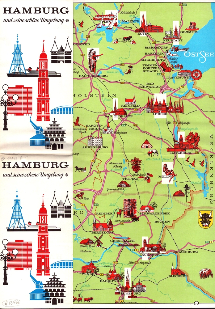
1966ref. 63766(Hamburg, gedr. bei Gebr. Sülter, 1966). 1 mehrfach gefalt. farb. Ktn.-Skizze, gezeichnet von Heinz Schultchen (ca. 42 x 60 cm), verso Text.
1956ref. 15240Ottawa: Edmond Cloutier Queens' Printer and Controller of Stationery. Very Good in Very Good- dust jacket. 1956. First Edition. Hardcover. Volume I has no dust jacket the red coth covered boards dated 1956 some shelf soil to page edges top back corner bumped. Volume II dated 1953 has chipped DJ 1 inch tear bottom front panel and 2 inch tear top back panel.; Fold-out maps in Vol. I and map endpapers appear undamaged B&W and color illustrations in Vol II; Color Illustrations . Edmond Cloutier, Queens' Printer and Controller of Stationery hardcover
1822ref. KART0032o. O. u. J. (um 1822). Kupferst., altkol., 26 x 36 cm. Kartenbild mit wenigen Braunfl., w. Rand etwas stärker braunfl., einige Gebrauchsspuren, Knickstelle an re. ob. Ecke. Planiglob der östlichen und westlichen Hemisphäre.
1730(Nürnberg, ca. 1730). 51,5x41,5 cm. Engraved map of eastern Asia with part of China and Japan up to Saghalin Island, in original handcolouring. The broad margins a bit browned, orherwise fine.
1730ref. 27994(Nürnberg, ca. 1730). 51,5x41,5 cm. Engraved map of eastern Asia with part of China and Japan up to Saghalin Island, in original handcolouring. The broad margins a bit browned, orherwise fine.
1859ref. H4454Dublin: Mark Allen 1859. Hardcover. Very Good. Published 1859 the map in 20 panels backed with linen measures 39.75 x 29.5 inches 100.5 x 75 cm hand colored in outline in very good condition small gray spot to blank area lower left in original cloth binding with printed label to front cover light wear and soil to binding. The accompanying pamphlet 31 pp. green wraps very good some of the stitching along spine coming loose. Both map and pamphlet signed Francis L. Casey RCV Cork. Uncommon. Mark Allen hardcover
1862ref. H4452Edinburgh and London: Gall & Inglis 1862. Hardcover. Very Good. Ca. 1862 folded backed in original linen housed in original cloth folder with green printed title label to cover the map measures 26.75 x 22 inches; 67.5 x 56 cm and is in excellent condition with vivid coloring. No date on map or binding but we found an advertisement for this map in another Cruchley production dated 1862 and it feels right. RARE with no copies in OCLC to our knowledge. Gall & Inglis hardcover
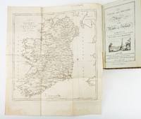
1783ref. ST19355London: Engraved by G. Terry and Sold by T. Longman London and W. Wilson Dublin 1783. Second Corrected Edition. 260 x 155 mm. 10 1/4 x 6". XXVII 289 pp. 4 leaves index. Contemporary half calf over marbled boards flat spine divided into panels by gilt rules red morocco label very neat repair to head of front joint and top of spine. Engraved title page with vignette and dedication leaf large folding map of Ireland and 289 engraved maps. Title page with early ink signature of Jos. Sabine. Moreland & Bannister p. 190; Tooley "Maps and Mapmakers" p. 94. Small signs of age and wear to the binding including slight crackling and nicks to the spine folding map with faint dampstain to tail margin two negligible ink spots to blank area on the map of the Irish Sea but A VERY APPEALING COPY quite clean and remarkably fresh internally and in an entirely solid period binding. This is the second corrected edition of the first comprehensive road atlas of Ireland offered here in especially attractive condition. In response to increasing demand for accurate maps of the country's road system the Irish House of Commons commissioned George Taylor and Andrew Skinner who together had previously produced the first road atlas of Scotland among other works to undertake a survey of the land. Taylor and Skinner completed their work in 1777 and published the first edition of their findings in 1778. This second edition includes updates to the year 1783 as well as an additional map no. 289. Renowned for their precision and detail Taylor and Skinner's maps clearly show roads crossroads and bridges as well as topographical features such as hills lakes and rivers including the direction of the water flow; landmarks such as castles churches and ruins; and the names of local landlords and their homes. The maps appear either as half-page strips or in full-page and the distances are given in both Irish and English miles 11 Irish miles being equal to 14 British miles. The robust list of subscribers which includes a number of earls viscounts lords bishops and British and Irish army men demonstrates the great need for and widespread success of this important work. Our former owner may well be the famed and controversial naturalist Joseph Sabine 1770-1837 who often signed his name as "Jos. Sabine" as seen here. He certainly had good reason to own maps of Ireland. He was from an Anglo-Irish family himself and was Honorary Secretary of the Horticultural Society a position which at the time carried great clout in the botanical community and one that presupposed knowledge of geography across the realm. DNB tells us that "Sabine played a leading part in the establishment of the society's garden first at Hammersmith and afterwards at Chiswick; in sending out David Douglas and others as collectors; in starting local societies in connection with the Horticultural Society; and in growing and distributing new and improved varieties of flowers fruits and vegetables throughout the country." While not a rare book this is the kind of volume that would have normally encountered frequent and inevitably damaging use so to find a copy as well preserved as this one is a lucky occurrence. Engraved by G. Terry and Sold by T. Longman, London and W. Wilson, Dublin unknown
1783ref. ST19355London: Engraved by G. Terry and Sold by T. Longman London and W. Wilson Dublin 1783. Second Corrected Edition. 260 x 155 mm. 10 1/4 x 6". XXVII 289 pp. 4 leaves index. Contemporary half calf over marbled boards flat spine divided into panels by gilt rules red morocco label very neat repair to head of front joint and top of spine. Engraved title page with vignette and dedication leaf large folding map of Ireland and 289 engraved maps. Title page with early ink signature of Jos. Sabine. Moreland & Bannister p. 190; Tooley "Maps and Mapmakers" p. 94. Small signs of age and wear to the binding including slight crackling and nicks to the spine folding map with faint dampstain to tail margin two negligible ink spots to blank area on the map of the Irish Sea but A VERY APPEALING COPY quite clean and remarkably fresh internally and in an entirely solid period binding. This is the second corrected edition of the first comprehensive road atlas of Ireland offered here in especially attractive condition. In response to increasing demand for accurate maps of the country's road system the Irish House of Commons commissioned George Taylor and Andrew Skinner who together had previously produced the first road atlas of Scotland among other works to undertake a survey of the land. Taylor and Skinner completed their work in 1777 and published the first edition of their findings in 1778. This second edition includes updates to the year 1783 as well as an additional map no. 289. Renowned for their precision and detail Taylor and Skinner's maps clearly show roads crossroads and bridges as well as topographical features such as hills lakes and rivers including the direction of the water flow; landmarks such as castles churches and ruins; and the names of local landlords and their homes. The maps appear either as half-page strips or in full-page and the distances are given in both Irish and English miles 11 Irish miles being equal to 14 British miles. The robust list of subscribers which includes a number of earls viscounts lords bishops and British and Irish army men demonstrates the great need for and widespread success of this important work. Our former owner may well be the famed and controversial naturalist Joseph Sabine 1770-1837 who often signed his name as "Jos. Sabine" as seen here. He certainly had good reason to own maps of Ireland. He was from an Anglo-Irish family himself and was Honorary Secretary of the Horticultural Society a position which at the time carried great clout in the botanical community and one that presupposed knowledge of geography across the realm. DNB tells us that "Sabine played a leading part in the establishment of the society's garden first at Hammersmith and afterwards at Chiswick; in sending out David Douglas and others as collectors; in starting local societies in connection with the Horticultural Society; and in growing and distributing new and improved varieties of flowers fruits and vegetables throughout the country." While not a rare book this is the kind of volume that would have normally encountered frequent and inevitably damaging use so to find a copy as well preserved as this one is a lucky occurrence. Engraved by G. Terry and Sold by T. Longman, London and W. Wilson, Dublin unknown books
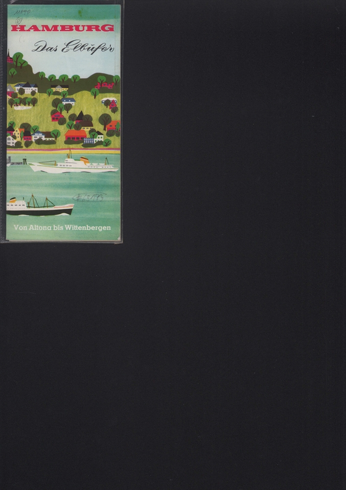
1960ref. 63173Hamburg, Fremdenverkehrs- u. Kongreß-Zentrale, 1960]. 12seitiges Faltblatt, mit farb. illustr. von Heinz Eimert (simplifizierter Straßenplan). Blatt 20 x 58 cm. Falzmaß 20 cm.
1787Kiöbenhavn, Thiele, 1787. 4to. Originale blåmarmorerede omslag. Stempel på titelbladet. 16 pp., 4 kobberstukne plancher (3 foldede med landtoninger samt et kort). Rent velbevaret eksemplar på skrivepapir.
1787ref. 56969Kiöbenhavn, Thiele, 1787. 4to. Originale blåmarmorerede omslag. Stempel på titelbladet. 16 pp., 4 kobberstukne plancher (3 foldede med landtoninger samt et kort). Rent velbevaret eksemplar på skrivepapir.
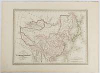
1837ref. 177519Paris. circa1837. Engraved map with original outline hand-colour 22 x 30 cm; 28.8 x 38.6 cm sheet marginal repair to the lower corner not affecting the map sheet lightly age-toned in very good condition preserved in a window mount. Fine map of China Japan and Central Asia noting Manchuria "Mandchourie" bordering Northern India and Turkestan in the West and Russia "Russie d'Asie" in the North. From the estate of the late collector and scholar Arthur Hacker with his pencilled catalogue mark on the verso. . unknown
1920ref. 76159Boston: Scarborough Motor Guide Company 1920. Narrow octavo. 676 pp. crammed with numerous textual maps and advertisements. Original folding map present and in very good condition. Publisher's stiff green wrappers lettered in black. Small 1/2 inch slit to upper front joint but a remarkably clean and nice copy with the map. Scarborough Motor Guide Company unknown
1880ref. 74548Ottowa: Departement de L'Agriculture 1880. First edition. Octavo. Folding color map as frontispiece short tear 26 1 table of contents 9 ads two full page woodcuts of Manitoba farms and single page governments announcements pp. Publisher's pink printed wrappers. Split at spine but holding strong. A very good copy. Departement de L'Agriculture unknown