12.289 resultados
1881ref. 74181Washington DC: U. S. Congress. Very Good. 1881. Pamphlet. Snake Upper Red and Minnesota Rivers Minnesota; Reservoirs at sources of Rock River Wisconsin and Illinois. Letter from the Secretary of War transmitting surveys .United States. War Department. 1881. 16 pages maps 2 folded ; 23 cm. Washington Govt. Print. Off. 1881. Disbound Pamphlet. The contents are nice and the 2 folding maps are bright and clean. . U. S. Congress unknown
1881ref. 74181Washington DC: U. S. Congress. Very Good. 1881. Pamphlet. Snake Upper Red and Minnesota Rivers Minnesota; Reservoirs at sources of Rock River Wisconsin and Illinois. Letter from the Secretary of War transmitting surveys .United States. War Department. 1881. 16 pages maps 2 folded ; 23 cm. Washington Govt. Print. Off. 1881. Disbound Pamphlet. The contents are nice and the 2 folding maps are bright and clean. . U. S. Congress unknown books
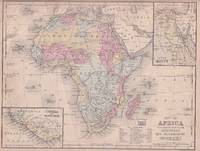
1869ref. 176603Philadelphia.: E. H. Butler. circa1869. Lithographed map with original hand-colour 21.2 x 27.6 cm two inset maps of Liberia and Sierra Leone; and Egypt showing the Suez Canal text and engravings for an unrelated entry on the verso; margins dusty top edge worn with small edge tears one affecting the border and marginal chip but in good condition. Detailed map of Africa before the escalation of colonial acquisition in the 1880s. . (E. H. Butler). unknown
1779ref. 81624(Kopenhagen, 1779]. 29 x 26 cm. Unter Passepartout.
ref. 10738Largentière, Humbert, s.d. (années 50 ou 60), 1 carte postale de 10 x 16 cm, dessinée par le peintre Robert Petit-Lorraine, texte de 3 lignes: "Cure à Vals: "Mais vous avez déja l'air moins... Sucrée !"" ;
ref. 10749Largentière, Humbert, s.d. (années 50 ou 60), 1 carte postale de 16 x10 cm, dessin de Petit-Lorraine ;
ref. 11926Largentière, Humbert, s.d. (années 50 ou 60), 1 carte postale de 16 x10 cm, dessin de Petit-Lorraine.
ref. 11927Largentière, Humbert, s.d. (années 50 ou 60), 1 carte postale de 16 x10 cm, dessin de Petit-Lorraine.
1956ref. 76405San Jose: H.M. Gousha Co. on or before 1956. First edition of this gathering. Folio 13 1/4 x 18 inches. 62 unused road maps in color and with inserts each neatly divided by side tabs. All maps bound on stubs. Original red cloth portfolio with flap and snap fasteners the Shell logo stamped on front cover some soiling or darkening to extremities. The portfolio has some expected wear but the maps are fresh and clean. Shell maps of this era are notable for their high-quality cartography colorful graphics and often included travel tips local advertisements and information about Shell services. None located by OCLC. Harry Mathias Gousha a former Rand McNally went independent in 1926 and relocated to California in 1947. It was a propitious time as the 50s in most respects witnessed the onset of the great American phenomenon of the Road Trip. With the improvement in cars longer and longer trips became feasible. None of the great Interstates as we know them today were in existence at that time so road maps were essential for any successful road trip. The H.M. Gousha Company was one of the "Big Three" major producers of road maps and atlases in the United States during the 25 years following World War II General Drafting and Rand McNally were the other two. Shell maps of this era although free are notable for their high-quality cartography colorful graphics and often included travel tips local advertisements and information about Shell services. The H. M. Gousha Company produced millions of oil company road maps used as marketing tools distributed at no charge at gas stations by customers that included Gulf Oil Conoco Shell Standard Oil and dozens of others. Though most Gousha maps were produced for oil companies many others were issued for customers not related to the petroleum industry including automobile clubs state governments banks and realtors. Ironically the company was purchased by Rand McNally in 1996. H.M. Gousha Co. hardcover
1989ref. 52859(Hamburg, Kompass-Stadtpläne-Verlag, 1989). 94 S. Mit tls. farb. Abb., 1 farb. gefalt. Plan (verso Plan der Innenstadt, Schnellbahn-Netz, Übersichts-Kte. u. Straßenverzeichnis). (= Kompass-Stadtpläne). OBrosch.
ref. 51860Leipzig Georg Joachim Göschen 1830. . Verlags-Bibliographie Göschen 1785-1838 Nr. 1027. Vgl. Studien zur Verlagsgeschichte u. zur Verlegertypologie der Goethezeit S. 190. - Einband stark beschabt Textteil gebräunt/stockfl.; erste Karte gebräunt sonst nur gelegentlich stockfleckig im weißen Kartenrand. - Allgemeine Übersicht. Topographie der vorzüglichsten Orte von A-Z. Grenzkolorierte Karten von Königreiche ENGLAND SCHOTTLAND u. IRLAND; Gibraltar Malta Helgoland Ionien; die Kolonien: Britisch-Ostindien Kap-Kolonie Westindien afrikanische Westküste Goldküste Guinea Mauritius St. Helena Nordamerika Hopparo Britisch-Guyana Australien. - Der königlich sächsische Kammerrat W. E. A. v. Schlieben 1781-1839 Statistiker u. Oberlandfeldmesser war Mitbegründer des Statischen Vereins in Sachsen 1831-1850 u. Leiter des Zentralkomitees des Vereins. Leipzig, Georg Joachim Göschen, 1830. unknown
1830ref. 89187Hamburg, 1830. VI, 207 S. Mit lith. Titel mit Binnenalster-Vign., 1 Hamburg-Lithogr. "Hamburg von der Elbe" als Frontispiz (beide von Otto Speckter) u. 2 gefalt. lithogr. Ktn. 18 cm. Marmorierter Pp der Zt. m. goldgepr. RSchild.
1784ref. 25892London: Harrison & Co 1784. 1 vols. 10 x 7 3/4 inches. Extracted from a volume. Some light marginal discoloration folds else in very good condition. 1 vols. 10 x 7 3/4 inches. The first "A General Stereographic Map on the Plane of the Meridian" and the other showing a "Stereographic Projection on the Plane of the Horizon" and "Orthographic Projection on the pLane of the Meridian" Maps of the Hemispheres. Harrison & Co unknown
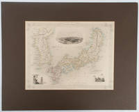
1850ref. 177528London.: The London Printing and Publishing Company. circa1850s. Lithographed map with original outline hand colour 25.8 x 33.5 cm three vignette illustrations decorative border central fold in very good condition presented in a window mount. Attractive decorative map with three vignettes by Rapkin: Yedo; a State barge in sail with penants flying--the paired oarsmen depicted through 10 small windows below deck; and Koreans in traditional costume; the map after the great mapmaker and publisher John Tallis. From the estate of the late collector and scholar Arthur Hacker with his pencilled catalogue mark on the verso. . The London Printing and Publishing Company. unknown
1965ref. 25042USSR 1965. The 7 year plan economic map with good lithographic color key gives interpretation and on back various charts show growth over time. The district map in black and white with numbers keyed to the list of districts on the back; text entirely in Cyrillic. Approx. 9 3/4" x 13" size; a little edge-wear one short 1/4" closed edge-tear; in very good condition. First Edition. Not Bound. Very Good. paperback
1817Paris, Barrois L'Ainé,1817. 4to. Textvol. in contemp. hcalf with richly gilt spine. A paperlabel pasted on lower part of spine. Atlas-vol. in modest clothbacked boards. Lower part of spine with tears and taped. Stamp on titlepages. IV,358,(1) pp. Atlas: (4) pp. and with 14 mostly large and folded engraved maps.
ref. 2033in 8 demi-cuir marron raciné à nerfs,titre doré,faux-titre,titre,341 pages,cartes croquis,l’aventure vécue 1953 édition originale,couverture et dos conservés.
ref. 1202Agen, Imprimerie du département, an VII (1799). Placard 42 x 53 sur vergé.
ref. 5853"P., Haar et Steinert, sans date. In 8 cartonnage orné de l'éditeur, XII pp; et 100 planches en couleurs de réussites, très bel exemplaire dans son emboîtage (un peu défraîchi)."
ref. 625Allemagne, vers 1900.
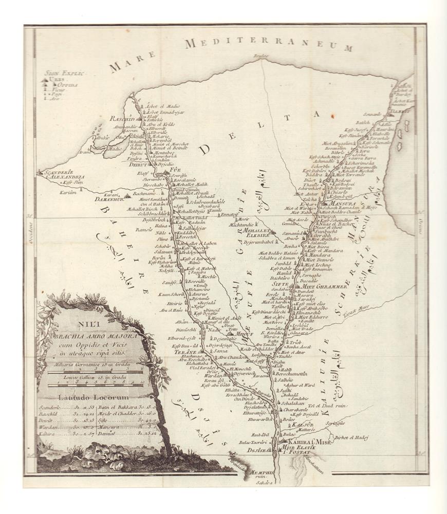
ref. M12808Lyon, Vernarel- Cabin 1819, in8 br , 492 pp , couverture défraichie avec manque de papier sur le dos Essentielement l' Egypte.
ref. ML196Thomsons (1871) carte coloriée 50cmx 59cm. Excellent etat Langue: Français
ref. RO30049236EDITIONS D'ART YVON. non daté. In-12. Broché. Bon état, Couv. convenable, Dos satisfaisant, Intérieur frais. 1 carte postale vierge, ancienne en noir et blanc représentant un attelage du pays Basque.. . . . Classification : 220-Cartes Postales Publicitaires
ref. RO30049238"EDITEUR ARJAC. non daté. In-12. Broché. Bon état, Couv. convenable, Dos satisfaisant, Intérieur frais. 2 cartes postales anciennes vierges illustrées en noir et blanc représentant des coiffes Oléronnaise ""Le Coiffètte"",""Le Bonnet"".. . . . Classification : 220-Cartes Postales Publicitaires"
ref. 2678Atlas des Etats-Unis formé de 11 cartes et leur index, les dix premières (USA historique et région par région) en étui, l'ensemble étant relié sous cartonnage toilé de l'éditeur.