[Affiche]Livre Rare Book

1967ref. 4441Paris Bibliothèque nationale 1967 aucune reliure Paris, Bibliothèque nationale, 1967. Aucune mention d'imprimeur. 55 x 41,5 cm, affiche en couleurs entièrement faite au pochoir.
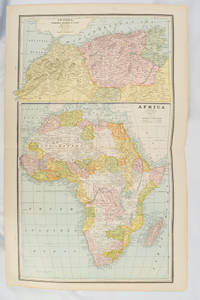
1894ref. 177068Chicago.: Geo. F. Cram. 1894. Chromolithographed maps 54.3 x 34.1 cm sheet central fold a few small edge tears and marginal age toning but in very good condition. Detailed maps prepared for George F. Cram's 1894 "Standard American Atlas": one of the first American firms to publish a world atlas. Maps of Oceania and South Africa printed on the verso. . Geo. F. Cram. unknown
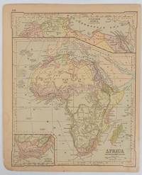
1877ref. 177229New York.: Ivison Blakeman Taylor & Co. circa1877. Printed colour map 27.5 x 21.7 cm large inset of Northern Africa and a smaller of Southern Africa two small edge tears lower corner neatly strengthened the sheet toned but the map in good condition unrelated text printed on the verso. Map of Africa as a whole before the Imperial race for colonies in the 1880s with interesting insets of Northern and Southern Africa. . Ivison, Blakeman, Taylor & Co. unknown
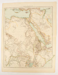
1895ref. 175108London.: Times Atlas of the World. 1895. Double-page folding map printed in colour 46.5 x 36.5 cm. edges gilt central fold with an inset map of Somaliland Somalia and the island of Sokotra key to European possessions outlined in colour small edge fold tears affecting the margin only and two other small edge tears slight toning at the edgaes but in very good condition. Attractive and detailed map prepared for the first edition of "The Times Atlas of the World". . (Times Atlas of the World). unknown
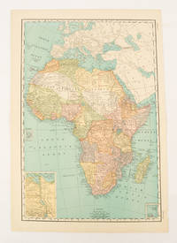
1899ref. 174902New York.: Rand McNally & Co. 1899. Printed colour map 36.3 x 24.3 cm inset map of the Suez Canal and two smaller insets of the Cardagos Crayos Islands Mascarene Islands and Cape Verde Islands central fold and on the verso a printed panel listing the countries in Africa with their territorial governance area and population lower corner creased at the outer margin but in very good condition. An interesting late nineteenth-century map noting colonial governance. . Rand, McNally & Co. unknown
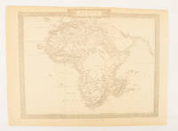
1880ref. 174956London.: The London Printing and Publishing Company. Circa1880s. Printed map 24 x 32.1 cm decorative border two original vertical folds paper toned mainly at the edges inner margin of the sheet ragged but in good order. A late edition of the map used for the well-known Tallis map this without the characteristic vignettes and on thinner paper. . The London Printing and Publishing Company. unknown
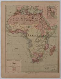
1877ref. 176015New York.: Harper & Brothers. circa1877. Chromolithographed map with outlne handcolour 27.1 x 21 cm major towns marked with a red cross relief by hachures ocean currents marked two inset maps of the Suez canal and Mascarene Island two very small marginal edge tears not affecting the map slight toning unrelated text on the verso prepared for "Harper's School Geography" in very good condition Interesting map of Africa before the escalation of the European race for colonial possessions from 1880. The map shows: the European possessions of the Cape Colony Transvaal Republic Orange River Republic and Natal; regions of the continent as fertile belts and desert belts; and indicates agricultural and other production such as palm oil ivory skins and cattle. Major cities are shown with important trade centers highlighted with a red cross. Prepared for US students in "Harper's School Geography" longitude is shown from the Greenwich prime meridian at the head of the map and from the Washington prime meridian at the foot. A small outline map of Ohio is included for relative scale. . Harper & Brothers. unknown
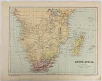
1877ref. 177228Edinburgh & London.: W. & A. K. Johnston. circa1877. Printed colour map 25 x 32.5 cm edge tears one affecting the lower border only two small chips from the upper margin corner repaired the map in very good condition. Map of North America with a small inset of the British Isles on the verso. Map of Southern Africa before the Scramble for Africa in the late 19th Century. . W. & A. K. Johnston. unknown
1914ref. 128321- Tapuscrit signé, corrigé à la main de la Préface du Poème du Coeur (1914) ; in-4, 6 ff. 2- Manuscrit de la Préface du Poème du Beaujolais ; in-4, 7 ff. 3- "Pierre Aguétant jugé par l'amie de Carmen Sylva" : tapuscrit signé, corrections autographes ; in-folio, 5 ff. 4- Tapuscrit signé "À ajouter à la Préface. Paris 25 février 1923" ; in-4, 2 pp. ; passages autographes signés. 5- Correspondance (15 pièces) avec Pierre Aguétant : L.A.S. et cartes postales de 1913 à fin 1925.
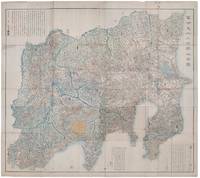
1418ref. 159850Shūseidō 衆星堂. Reprint. Tenpō 14 1843. Large folding handcoloured map of the thirteen provinces from which Mt. Fuji can be viewed. 159 x 178cm. Folds into paper covered card covers measuring 40 x 24cm. Title label upper cover. A little browning along folds occasional spotting and soiling. A little worming causing approximately 1cm of loss in places. Two chops in lower section. A very striking and attractive map. This very large handsome map is a detailed map of the thirteen provinces from which one can see Mt. Fuji. Provinces shown are the eight provinces of the Kantō region Sagami 相模 Musashi 武蔵 Kazusa 上総 Shimofusa 下総 Awa 安房 Kōzuke 上野 Shimotsuke 下野 and Hitachi 常陸 and five other provinces Izu 伊豆 Suruga 駿河 Tōtōmi 遠江 Kai 甲斐 and Shinano 信濃. The map offers a large amount of detailed information such as province and county borders rivers high ways post towns checkpoints villages and scenic spots. The cartographer Akiyama Einen or Nagatoshi 秋山永年 came from Edo and the editor Funakoshi Seizō 船越清蔵 studio name: Shugu 守愚 1805-62 a Confucian scholar from Nagato Province now the western half of present-day Yamaguchi Prefecture. A dedication by Funahashi Akira 舟橋徴 is dated 1843. . Shūseidō 衆星堂 unknown
ref. 18568Augsbourg, s.d. (1730), Nuremberg, sans date (1730). Quatre cartes entoilées, 60 x 54 cm, repliées dans un étui, dont trois en couleurs. Etui en basane fauve d'époque, roulette dorée sur les plats, dos orné avec le titres des cartes.
1750S. l. (France), S. é., s.d. (vers 1750); 1190 x 2008 mm, feuille en papier vergé de 60 x 91 cm, carte pliée. Carte représentant, au nord, Neubrisack (rive gauche du Rhin) et Vieux Brisack (rive droite du Rhin), au sud Mulhausen (rive gauche du Rhin), le Marquisat de Duriach (rive droite du Rhin), à l'échelle de dix mille toises (1/86 400). Technique de reproduction par impression en taille-douce.
1750ref. _202000544S. l. (France), S. é., s.d. (vers 1750) ; 1190 x 2008 mm, feuille en papier vergé de 60 x 91 cm, carte pliée. Carte représentant, au nord, Neubrisack (rive gauche du Rhin) et Vieux Brisack (rive droite du Rhin), au sud Mulhausen (rive gauche du Rhin), le Marquisat de Duriach (rive droite du Rhin), à l'échelle de dix mille toises (1/86 400). Technique de reproduction par impression en taille-douce.
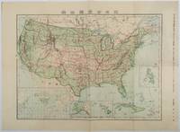
1911ref. 179415Tokyo.: 楠山正雄. Kusuyama Masao. Meiji 44 1911. Colour folding map 40 x 55cm inset maps showing the Philippines Alaska and Hawaii very good copy. This map was a supplement of October 1911 issue of a monthly magazine Shin Nippon 新日本 which was published between 1911 and 1918. The main map covers the contiguous United States with inset maps of the world showing the American territories of Alaska Hawaii and the Philippines. Curiously Cuba has been marked as an American territory having been directly occupied from 1906 to 1909 though at the time still beholden to the 1903 Cuban-American Treaty of Relations. . 楠山正雄. [Kusuyama Masao]. unknown
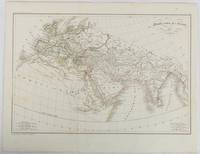
1820ref. 177230Paris. circa1820. Engraved map with original outline hand-colour 21.1 x 31.5cm original folds a few spots and a little creased but in very good condition. Latin map of the Ancient world encompassing Europe India Arabia the Middle East and North Africa by the French cartographer Jean Baptiste Poirson 1761-1831 finely engraved. . unknown
1767ref. 21326Paris 1767 carte d'époque entoilée sur une toile bleue repliée format 30,5 x 23 cm, format déplié : 60 x 92,5 cm, gravée en noir, [Paris] : [s.n.], 1767-1771
1767ref. 23546Angers 1767 une carte d'époque, entoilée sur une toile marron repliée format 20 x 13,3 cm, format déplié : 59 x 92,5 cm, gravée en noir, [Paris] : [s.n.], 1767-1771, vendue chez Forest, Imprimeur-Libraire Nantes,
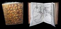
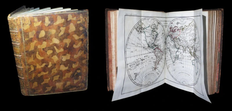
1780ref. 328331780. S.l. s..s.d. circa 1780. Un vol. au format pt in-4 252 x 208 mm de 2 ff. n.fol. 28 pp. 50 planches sur double-page et 19 tableaux in fine majoritairement dpliants. Reliure de l'poque plein veau glac et marbr blond triple filet dor encadrant les plats dos nerfs orn de filets gras froid doubles caissons d'encadrement dors fleurons dors semis de pointills dors piÂce de titre de maroquin fauve agrmente de roulettes dores titre dor palette dore en queue double filet dor sur les coupes toutes tranches dores. L'ouvrage comporte 50 sur 50 : dont une dpliante cartes graves avec rehauts aquarells du temps sur double-page montes sur onglets ; dresses par Rigobert Bonne. In fine 19 tableaux statistiques majoritairement dpliants. Une grande partie des cartes a ici t grave sur joli verg bleut. Vritable encyclopdie de lÕanticolonialisme au XVIIIÂ l'ouvrage constitue dÕun de ces ÇÊvoyages philosophiquesÊÈ prtexte rflexions sur la ÇÊloi naturelleÊÈ et dnonciations mordantes du despotisme du clricalisme de l'esclavage des Noirs ainsi que du colonialisme. Interdite en 1772 lÕHistoire des deux Indes sera nouveau publie par lÕabb Raynal dans une nouvelle dition en 1774 qui est immdiatement mise lÕIndex par le clerg. CÕest en 1780 quÕil publie sa troisiÂme dition de l'Histoire des deux Indes encore plus virulente que les deux prcdentes et quÕil avoue implicitement comme tant de lui. Condamn par le Parlement de Paris lÕouvrage est brl par le bourreau en place publique ce qui lui assure un succÂs considrable. Peignot II Dictionnaire critique littraire et bibliographique des principaux ouvrages condamns au feu p. 71- Sabin 68081 - Tooley Maps and maps-makers p. 44 - Qurard VII La France littraire p. 473 - Cohen II Manuel de l'amateur de livres gravures du XVIIIÂme 854 - rahir BibliothÂque de l'amateur p. 311 - Graesse VI Trsor de livres rares et prcieux p. 41 - Brunet IV Manuel du libraire et de l'amateur de livres 1126. Angles coupes et coiffes lims celle de tÂte arase. Rousseurs affectant les feuillets de texte liminaires ainsi que les tableaux placs en fin de volume ; rares sur les cartes. L'une d'entre-elle prsente un petit manque en marge suprieure sans atteinte la gravure. DiscrÂte cerne en marge suprieure de quelques planches. Nonobstant ensemble en belle condition. b42961 unknown
1780ref. 32833S.l., s.é.,s.d. [circa 1780]. Un vol. au format pt in-4 (252 x 208 mm) de 2 ff. n.fol., 28 pp. + 50 planches sur double-page et 19 tableaux in fine (majoritairement dépliants). Reliure de l'époque plein veau glacé et marbré blond, triple filet doré encadrant les plats, dos à nerfs orné de filets gras à froid, doubles caissons d'encadrement dorés, fleurons dorés, semis de pointillés dorés, pièce de titre de maroquin fauve agrémentée de roulettes dorées, titre doré, palette dorée en queue, double filet doré sur les coupes, toutes tranches dorées.
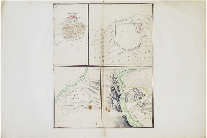
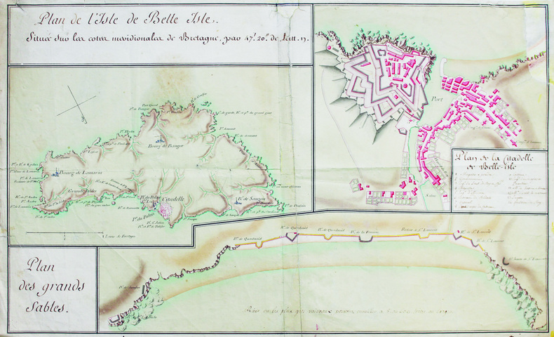
ref. LBW-8636[fin du XVIIe siècle]. Dessin sur une feuille de 445 x 350 mm, elle-même montée sur une feuille de 490 x 740 mm (montage du XVIIIe siècle).
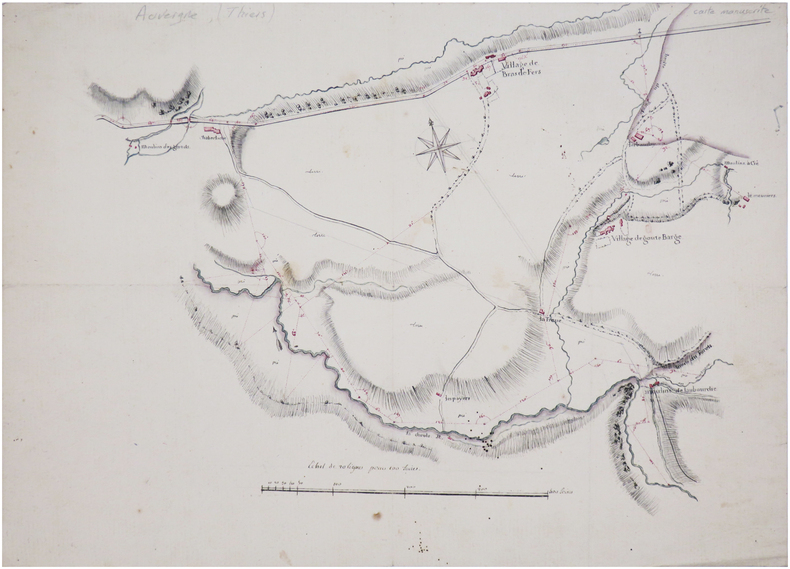
ref. LBW-7434[début du XIXe siècle]. 34,5 x 49 cm.
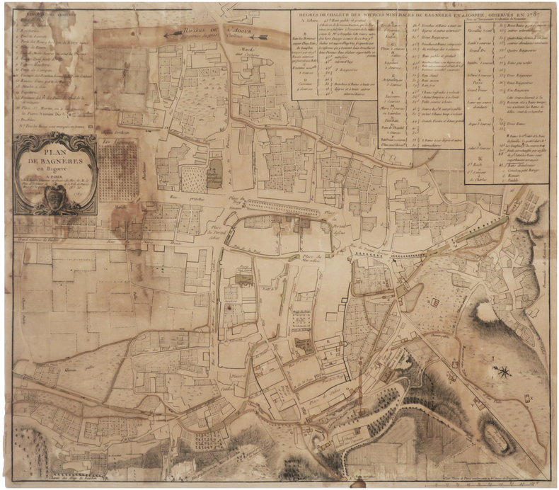
1789ref. LBW-7611Paris, Lattré, 1789. 423 x 476 mm.
1890ref. LBW-7933[circa 1890]. 405 x 439 mm.
ref. LBW-6588[Milieu du XVIIIe siècle]. 35 x 57,5 cm, sur une feuille de 37 x 60 cm.
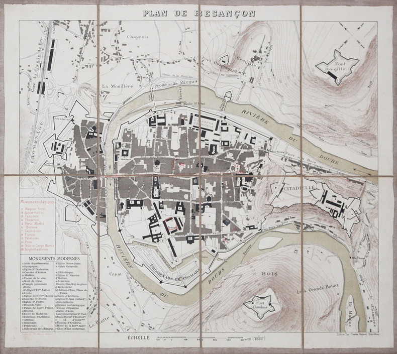
1880ref. LBW-3211Besançon, Ch. Marion, [vers 1880]. En 8 sections montées sur toile et pliées, formant un plan de 322 x 367 mm.