No AuthorMareMagnum

12.365 resultados
197536" x 25.5". Indicates 25 foot contours, water bodies, roads, rail lines, structures, etc. Light wear. Unmarked. Book
197536" x 25.5". Indicates 25 foot contours, water bodies, roads, rail lines, structures, etc. Light wear. Unmarked. Book
190625.5" x 16 3/8". Grey colouring. Includes owners' names for most acreages outside the city of Guelph. Map of Village of Hartfield (where Fergus Road meets Woolwich Road) in upper left corner, Date lightly handwritten in pencil (twice). 5" opening near left side of bottom edge is barely visible. A wonderful historical and genealogical reference ideally suited to framing and displaying in home or office. Please note that our photo shows only the left half of the map. Book
197536" x 25.5". Indicates 25 foot contours, water bodies, roads, rail lines, structures, etc. Light wear. Unmarked. Book
1960Text in Spanish. One-sided color map of the Islas Canarias. 69 x 45cm. Clean and unmarked with moderate wear. Includes tourist information. A quality vintage copy. Book
196715th edition 2nd impression. 4to, 64 pages, maps, maps on front and back endpapers. Poor condition hardback gilt writing on spine and front cover, hinge loose, some damage to bottom of spine some loss at head of spine. Edges of pages browning. 39096. eng
197536" x 25.5". Indicates 25 foot contours, water bodies, roads, rail lines, structures, etc. Light wear. Book
1911Ex-library book with the usual stamps, stickers, etc. Binding is solid and text/interior is clean and free of marking of any kind. 128 pages in small format. Rochester, New York's first guide book, an alphabetical listing of sites, businesses, educational facilities, government, pastimes, clubs, philanthropies "and other interests." Fold-out city map at front with a few small tears at attachment points to book, b&w photos, a few ads at back. Binding is worn and appears to be the library's with paperback covers adhered to hardback boards.
197536" x 25.5". Indicates 25 foot contours, water bodies, roads, rail lines, structures, etc. Light wear. Book
197536" x 25.5". Indicates 25 foot contours, water bodies, roads, rail lines, structures, etc. Light wear. Book
ref. DADAX0226534677New unknown
2016Appears unused. No marks or inscriptions. No creasing to covers or to spine. A very clean very tight copy with bright unmarked boards and no bumping to corners. 391pp. Lonely Planet guide to the Andalucia region of Spain including Seville and Gibraltar.
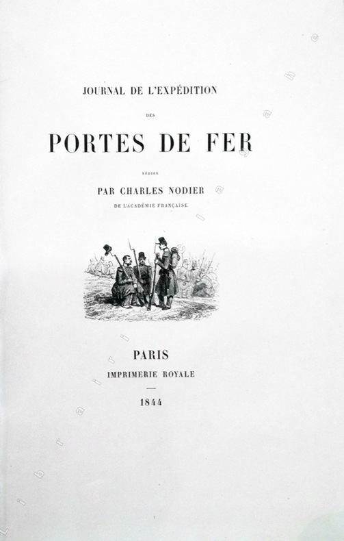
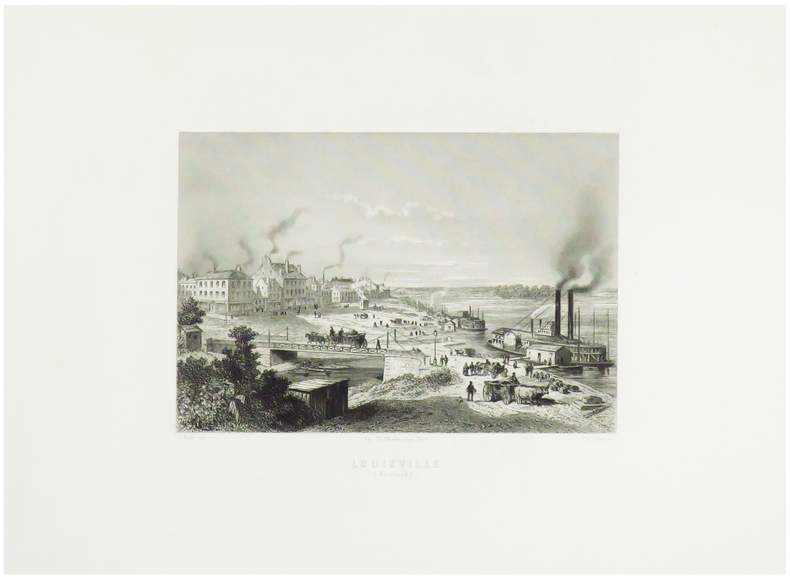
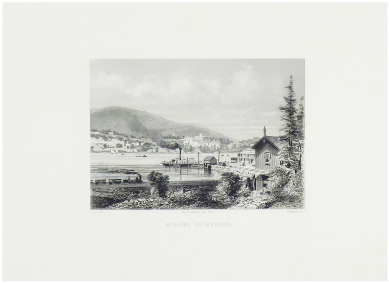
1844ref. 13368Paris, Imprimerie Royale, 1844 ; grand in-8 ; cartonnage à la bradel de l'éditeur ; [4], XVI, 329 pp., [1] f. blanc, 40 planches hors-textes tirées sur chine contrecollées, protégées par des serpentes légendées et une carte dépliante en fin d'ouvrage et 200 vignettes gravées sur bois dans le texte.
1827ref. LBW-5138Lyon et Villefranche, 1827. 821 x 593 mm.
1829ref. 188514BassetM. Paris ,Chez Basset, 1829. Grande carte dépliante de 92*63 cm, repliée sous cartonnage. Carte en noir avec en bord, des suppléments pour : Madrid et Lisbonne. Turin, Florence, Milan, Rome et Naples. Vienne et Constantinople. Dresde, Berlin, Varsovie, Moscou et Saint Petersbourg. Copenhague et Stockholm. Amsterdam. Indiquant exactement les différentes espèces de routes et les distances intermédiaires des villes, bourgs, villages en lieues de poste de 2000 toises. Quelques déchirures aux pliures.
1860ref. LBW-1254Paris, [circa 1860]. 129 x 166 mm.
1860ref. LBW-1253Paris, [circa 1860]. 128 x 162 mm.
1860ref. LBW-1251Paris, [circa 1860]. 124 x 159 mm.
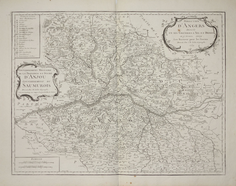
1759ref. LBW-2797Paris, Longchamps, 1759. 474 x 613 mm.
1787ref. LBW-8429Paris, Mondhare et Jean. 1787 472 x 614 mm ; repliée sous couverture cartonnée recouverte de papier bleu de l'époque (200 x 127mm) ; étiquette sur le premier plat portant le titre manuscrit à l'encre.
ref. LBW06191Paris J.B. Nolin circa 1705 550 x 430 mm.
1704ref. LBW06193Paris J.B. Nolin 1704 En deux feuilles jointes 447 x 731 mm.
1787ref. LBW-8443Paris, Mondhare et Jean, 1787. 462 x 618 mm ; repliée sous couverture cartonnée recouverte de papier bleu de l'époque (200 x 128mm) ; étiquette sur le premier plat portant le titre manuscrit à l'encre.
1776ref. LBW-8458À Bourdeaux, à la Bourse et au grand Bureau, 1776. 522 x 680 mm ; repliée sous couverture cartonnée recouverte de papier bleu de l'époque (200 x 128mm) ; étiquette sur le premier plat portant le titre manuscrit à l'encre.
1787ref. LBW-7845Paris, Mondhare et Jean, 1787. 450 x 610 mm.