NOLIN (Jean-Baptiste).Livre Rare Book

12.365 resultados
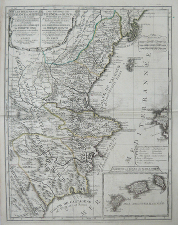
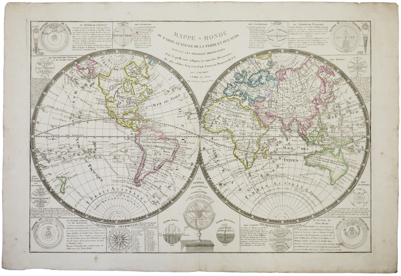
1780ref. LBW-8422Paris, Mondhare et Jean, [circa 1780]. En deux feuilles pouvant être jointes pour former une carte de 779 x 616 mm ; repliée sous couverture cartonnée recouverte de papier bleu de l'époque (199 x 128mm) ; étiquette sur le premier plat portant le titre manuscrit à l'encre.
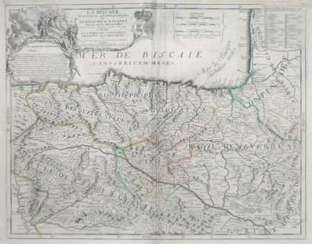
ref. LBW06192Paris J.B. Nolin circa 1705 450 x 577 mm.
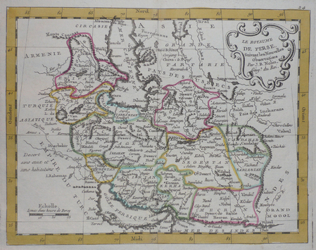
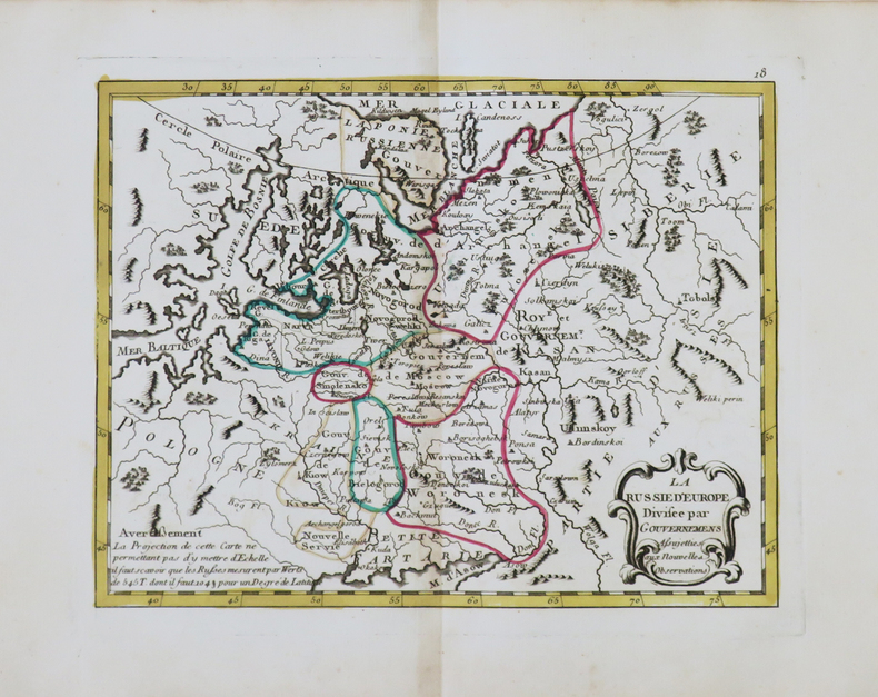
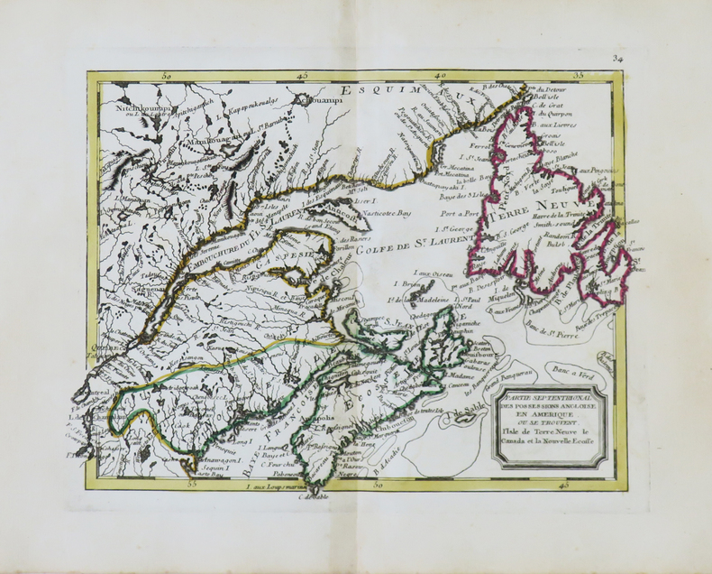
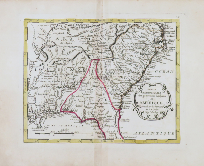
ref. LBW0251acirca 1780 202 x 261 mm.
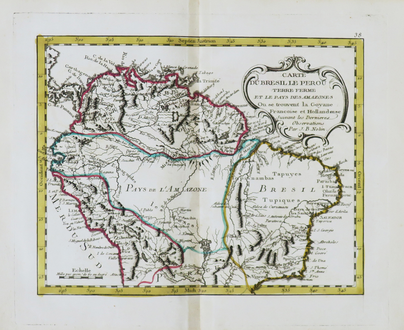
ref. LBW06190Paris J.B. Nolin circa 1705 560 x 434 mm.
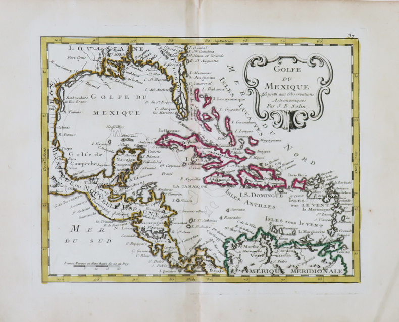
1791ref. LBW-4850[Paris, Mondhare, 1791]. 206 x 229 mm.
1791ref. LBW-4854[Paris, Mondhare, 1791]. 205 x 257 mm.
1709ref. LBW-6955Paris, chez l'auteur, 1709. 412 x 524 mm.
1807ref. 28312Paris Basset 1807 carte ancienne colorée d'époque en vert , rouge et jaune, sur papier vergé ligné, cartouche non coloré, Format total : 56 centimètres de haut par 75 centimètres de large, 1807 Paris Basset Editeur,
1791ref. LBW-4853[Paris, Mondhare, 1791]. 203 x 262 mm.
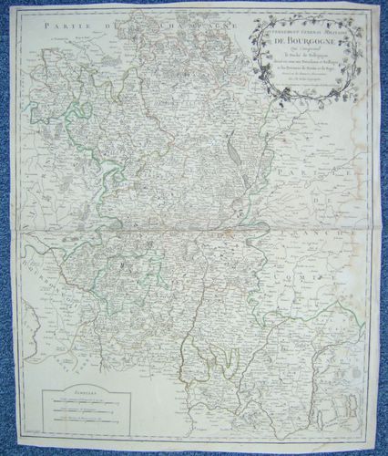
1758ref. 26476Dressé sur les dernières Observations par J. B. Nolin Géographe, gravée par Vallet, carte au format 535 x 650 mm, limites des présidiaux et bailliages rehaussées en couleurs, Chez Longchamps, Paris, 1758
1791ref. LBW-4839[Paris, Mondhare, 1791]. 224 x 185 mm.
1791ref. LBW-4845[Paris, Mondhare, 1791]. 204 x 261 mm.
1817ref. LBW-4992Paris, Basset, 1817. 477 x 654 mm.
1791ref. LBW-4844[Paris, Mondhare, 1791]. 202 x 261 mm.
1747ref. LBW-381Paris chés l'auteur 1747 497 x 606 mm.
1800ref. LBW-744Paris, Jean, [circa 1800]. 513 x 754 mm.
1791ref. LBW-4851[Paris, Mondhare, 1791]. 200 x 258 mm.
1791ref. LBW-4852[Paris, Mondhare, 1791]. 203 x 260 mm.
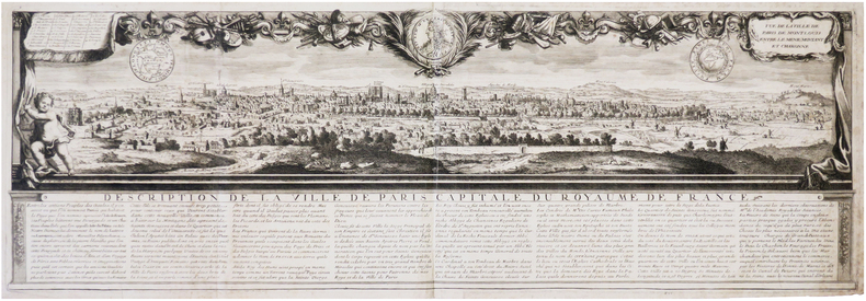
1690ref. LBW-7907[Paris], J.B. Nolin, [circa 1690]. 255 x 775 mm.
1758Dressé sur les dernières Observations par J. B. Nolin Géographe, gravée par Vallet, carte au format 535 x 650 mm, limites des présidiaux et bailliages rehaussées en couleurs, Chez Longchamps, Paris, 1758 Mouill. et frott. en marge droite. Prix en l'état. Français
1748Acquaforte e bulino, 1748, firmata sulla pietra con la scala in basso al centro "Piranesi e Nolli incisero". Celebre pianta di Roma, incisa da Giovanni Battista Nolli e Carlo Nolli, magnificamente arricchita da elementi decorativi incisi da Giovanni Battista Piranesi. La mappa descrive il centro di Roma su una grande quinta dispiegata dal putto in alto a destra. In alto a sinistra un putto sorregge lo stemma del cardinale Alessandro Albani, al quale l'opera è dedicata, come riportato nel cartiglio sottostante. Al lato sinistro, al di sotto del putto reggi stemma, si diparte una legenda con un elenco di centosettanta luoghi d'interesse, palazzi, monumenti e chiese, che prosegue sul bordo destro. In basso al centro, sui ruderi di un piedistallo, è riportato il titolo. Nella parte bassa della composizione si osservano un'immagine speculare della Basilica di San Pietro, la facciata della Basilica di Santa Croce in Gerusalemme di Pietro Passalacqua e Domenico Gregorini, la Fontana di Trevi di Nicola Salvi e la facciata della Basilica di Santa Maria Maggiore di Ferdinando Fuga. La pianta è conosciuta come "Pianta piccola" del Nolli; piccola per distinguerla dal celebre grande rilievo, impresso su 12 fogli (più 6 di indice), di cui questa pianta rappresenta la riduzione. È numerata 33-34 perché seguiva, nella pubblicazione completa, i 6 fogli di indice della pianta grande. Il titolo è riportato in basso, entro il piedistallo della colonna traiana. Accanto, entro un frammento architettonico su cui è riportata la "scala in palmi romani d'architettura", la sottoscrizione degli incisori C. Nolli e G.B. Piranesi. La dedica di G.B. Nolli al cardinale Alessandro Albani è datata "Roma il dì primo del 1748". L'indicazione di pubblicazione si trova nel lembo, ripiegato, del cartiglio sul lato destro. Acquaforte, impressa su carta vergata coeva, completa dei margini, leggera e diffusa brunitura, minime abrasioni, per il resto in buono stato di conservazione. Bibliografia Scaccia Scarafoni n. 227; Marigliani, 190; Frutaz CLXIX a-c; Wilton-Ely 1994, n. 1007. Etching and engraving, 1748, signed on stone with scale at bottom center "Piranesi e Nolli incisero". Famous map of Rome, engraved by Giovanni Battista Nolli and Carlo Nolli, beautifully enriched with decorative elements engraved by Giovanni Battista Piranesi. The map depicts the center of Rome on a large backdrop unfolded by the putto in the upper right. On the upper left a putto holds the coat of arms of Cardinal Alessandro Albani, to whom the work is dedicated, as shown in the cartouche below. On the left side, below the putto holding the coat of arms, departs a legend with a list of one hundred and seventy places of interest, palaces, monuments, and churches, which continues on the right border. At the bottom center, on the ruins of a pedestal, is the title. The lower part of the composition shows a mirror image of St. Peter's Basilica, the facade of the Basilica of Santa Croce in Gerusalemme by Pietro Passalacqua and Domenico Gregorini, the Trevi Fountain by Nicola Salvi, and the facade of the Basilica of Santa Maria Maggiore by Ferdinando Fuga. The map is known as Nolli's "Small Plan"; small to distinguish it from the famous large relief, imprinted on 12 sheets (plus 6 of index), of which this map represents the reduction. It is numbered 33-34 because it followed, in the complete publication, the 6 index sheets of the wall map. The title is given at the bottom, within the pedestal of the Trajan column. Next to it, within an architectural fragment on which is the "scala in palmi romani d'architettura", is the signature of engravers C. Nolli and G.B. Piranesi. G.B. Nolli's dedication to Cardinal Alessandro Albani is dated "Roma il dì primo del 1748." The indication of publication is in the flap, folded, of the cartouche on the right side. Etching, impressed on contemporary laid paper, complete with margins, light and diffuse browning, minimal abrasions, otherwise in good condition. Bibliografia Scaccia Scarafoni n. 227; Marigliani, 190; Frutaz CLXIX a-c; Wilton-Ely 1994, n. 1007.
1748Celebre pianta topografica di Roma, una rielaborazione, su invenzione di Giovanni Battista Nolli, della pianta xilografica di Leonardo Bufalini raffigurante la città nel 1551. La pianta era venduta insieme a quella grande e piccola del Nolli, di cui costituisce le tavv. 35 e 36. Fu incisa da Franco Monaco e Carlo Nolli, la cui sottoscrizione si legge in basso a sinistra. In alto a sinistra, entro un cartiglio, dedica del Nolli al cardinale Silvio Valenti Gonzaga. Nei due angoli inferiori, sono state inserite le vedutine del Pantheon a sinistra, e dell'Arco di Giano a destra. Orientamento con il nord in alto. Scalimetro in palmi romani. Ai lati, legenda di 307 voci. In basso a destra, le note tipografiche della pianta edita da Leonardo Bufalini nel 1551: "Edita per Mag[ist]r[u]mLeonardum Die XXVI. Men. Maij Anno Domini MDLI"; al centro, la notizia del privilegio e la data: "Romae cum privil. Sum. Pontificis, et Super. permissu anno 1748". Nolli non fece alcun tentativo di migliorare le incongruenze della mappa del Bufalini: gli angoli del Tridente di Piazza del Popolo sono ancora disuguali, e il Circo Massimo ha entrambe le estremità di forma, invece che una sola. Acquaforte e bulino, impressa su carta vergata coeva, con margini, in perfetto stato di conservazione. Bibliografia Frutaz, Le piante di Roma, CLXIX a-c. Famous topographical map of Rome, a reworking, on the invention of Giovanni Battista Nolli, of Leonardo Bufalini's xylographic plan depicting the city in 1551. The plan was sold together with Nolli's large and small plans, of which it constitutes Tables 35 and 36. It was engraved by Franco Monaco and Carlo Nolli, whose signature can be read at lower left. Nolli made no attempt to rectify inconsistencies of the Bufalini map when he prepared the reduced copy. The Popolo trivium still has its unequal angles, and the Circus Maximus is still semicircular at both ends instead of one. He did, however, give greater relief than the original to the densely populated part of the city by shading in the city blocks. This is the same graphical convention he used on his own map. He maintained Bufalini's emphasis on antiquity by copying them exactly as in the original. Indeed he acknowledges this aspect by including views of ancient buildings at the bottom, where the map appears to be scrolled up, so as to reveal the "Colonnacce," a broken aqueduct, and the Pantheon (with Baroque additions) in the lower left corner, and the three ruins of the Forum Boarium in the lower right hand corner: The round Temple of "Mater Matuta," the Arch of Janus (with Medieval additions) and the Temple of "Fortuna Virilis." The map was engraved, as signed, by Franco Monaco and Carlo Nolli. On the upper left, the cartouche with the dedication to the Cardinal Silvio Valenti Gonzaga. Etching with engraving, a fine impression on contemporary laid paper, with margins, perfect condition. Bibliografia Frutaz, Le piante di Roma, CLXIX a-c.
ref. R100037799Non Renseigné. Non daté. In-12. Broché. Bon état, Couv. convenable, Dos satisfaisant, Intérieur frais. Bon état. . . . Classification : 270-Cartes Postales Illustrateurs
ref. R100038164Non Renseigné. Non daté. In-12. Broché. Bon état, Couv. convenable, Dos satisfaisant, Intérieur frais. Bon état.. . . . Classification : 270-Cartes Postales Illustrateurs
ref. R100037910Non Renseigné. Non daté. In-12. Broché. Bon état, Couv. convenable, Dos satisfaisant, Intérieur frais. Deux types de dos légèrement différents. Bon état.. . . . Classification : 250-Cartes Postales Thématiques