BRESSON (Jean-Pierre).Livre Rare Book
12.595 resultados
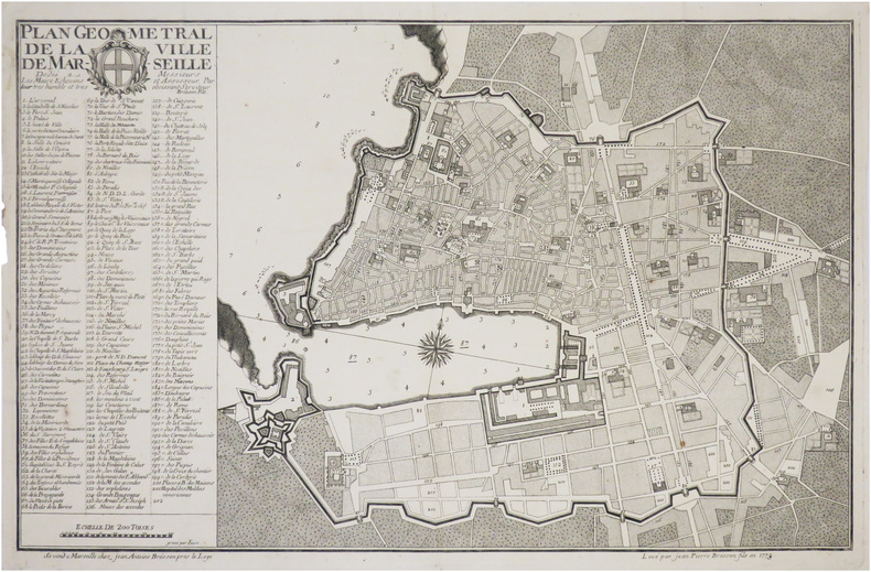
1773ref. LBW-8847Marseille, Jean-Antoine Bresson, 1773. 352 x 554 mm.
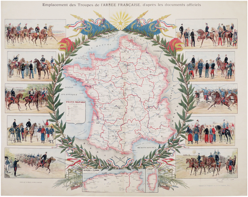
1895ref. LBW-7254Ducourtioux & Huillard, [circa 1895]. Lithographie en couleurs de 507 x 635 mm.
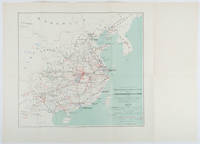
1898ref. 214719Paris.: Erhard Frères. 1898. Lithographed folding colour map 44.5 x 49.5 cms; 54.6 x 76.3 cms sheet towns and cities items of production and trade routes highlighted in red original folds in very good clean condition. Detailed map prepared for the Lyon Chamber of Commerce Mission to China under the direction of a young Henri Brenier 1867-1962 with the purpose of advancing French colonial expansion and shoring up the interests of the dominant Lyon silk trade. The map shows the principal centres of population production waterways roads telegraph lines and railroads togther with the centres of production and distribution for coal iron tin gold and silver opium tea rice sugar peanuts cinnamon wool medicinal plants and leather. The trade mission was organized following the Treaty of Shimonoseki and the end of the Sino-Japanese War: the Chamber of Commerce of Lyon understood that end of this war would signal a profound economic development and change. . Erhard Frères hardcover
1720Format 50 x 58,5 cm. *Großer kolorierter Stadtplan mit Befestigung und den umliegenden Rheinarmen im oberen Teil. Unten mit einer großen Gesamtansicht von Alt Breisach (Ansicht über den Fluß), rechts und links flankiert von je einer allegorischen Darstellung. - Sehr dekoratives Blatt. Sauber und sehr gut erhalten. Landkarten de
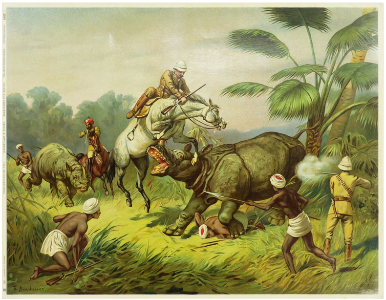
1900ref. LBW-5968Germany, [circa 1900]. 319 x 416 mm.
Format: 18 x 29,5 cm. *Leicht gebräunt, insgesamt gut erhalten. Landkarten de
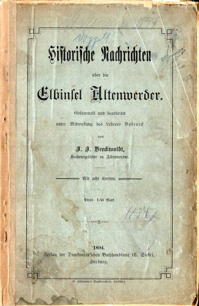
1894ref. 30785Harburg, Danckwerts'sche Buchhandlg. C. Sieke [hs. korrigiert "E. Schneider], 1894. 60 TextS. Mit 8 Faltktn. OBrosch.
1552ref. 243961552 Ex-libris (sérigraphie) au format 15,5 x 22 cm. Microscopiques frottements en coins.
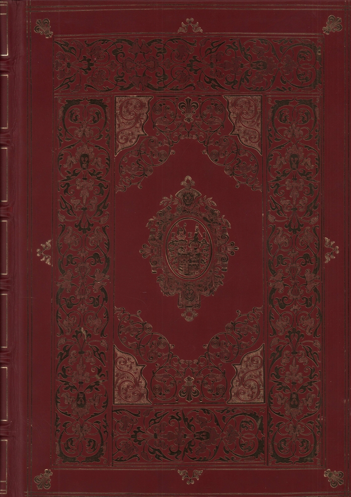
2004ref. 91916(Berlin, Coron bei Kindler, 2004). 56 Blatt, 56 Farbtafeln, 15 TextS. (= Coron Exclusiv). Folio. 42,5 cm. Rotbraunes Ganzleder auf 6 imit. Bünden mit reicher Vergoldung und Ganzgoldschnitt.
1573ref. 89761573 PLAN ANCIEN en couleurs, colorée d'époque à la main, en marron, bleu, vert et rouge. Format total : 40 centimètres de haut par 31 centimètres de large, réalisée par Braun, Georg et Hogenberg, Frans , tiré de l'ATLAS : "Civitates orbis terrarum liber primus", 1573 Coloniae Agrippinae : [s.n.] Editeur,
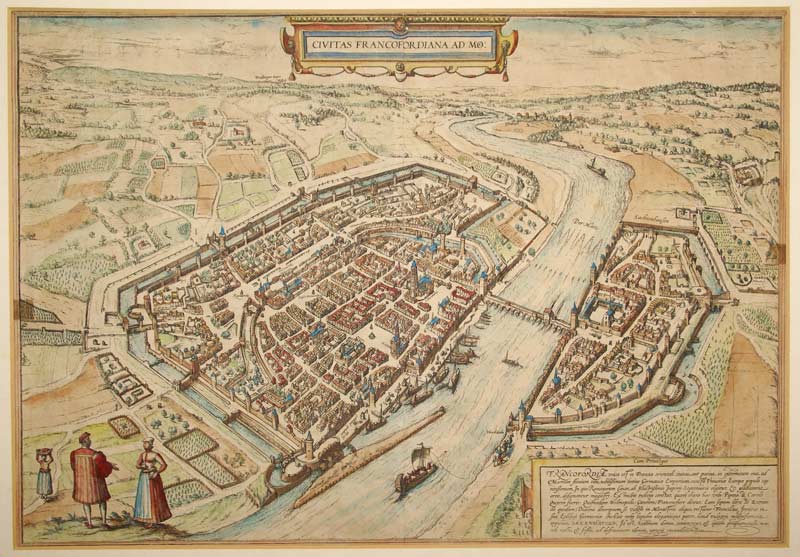
1580ref. GRAP0192um 1580. unter Passepartout; Bildausschnitt: 33x47,6 cm; Außenmaß: 47,4x60,6 cm; Mittelfalz, an den Seitenrändern des Blattes zwei ca 1x1,5 cm große gebräunte Stellen (nicht störend), verso lateinischer Text. Ansicht von Frankfurt am Main aus dem ersten Band der sechsbändigen "Civitates orbis terrarum" von Georg Braun und Frans Hogenberg (1572). Blick von Südwesten. Das Straßennetz ist stark vereinfacht, in der Altstadt fälschlich rechtwinklig, die Neustadt flächenmäßig zu klein wiedergegeben. Vorne links drei Figurinen in Landestracht.
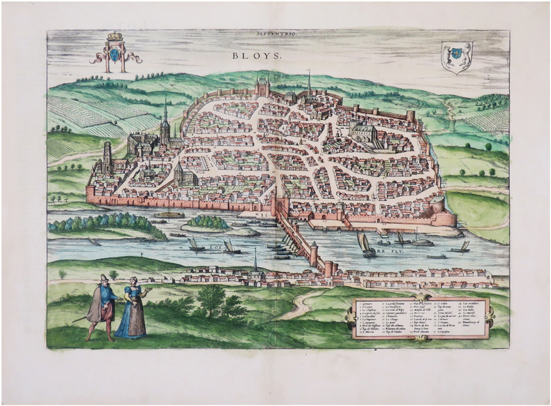
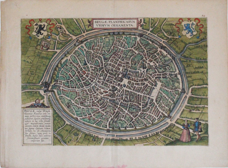
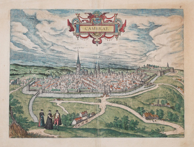
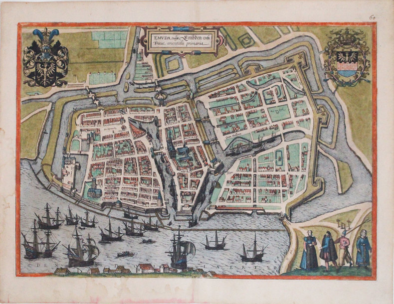
1598ref. LBW0028bCologne 1598 362 x 495 mm.
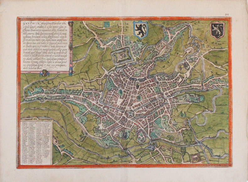
1572ref. LBW02e81Cologne 1572 341 x 484 mm.
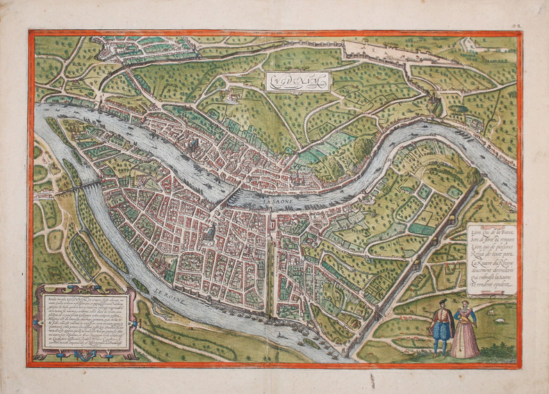
1572ref. LBW0621c[Cologne, 1572]. 351 x 497 mm.
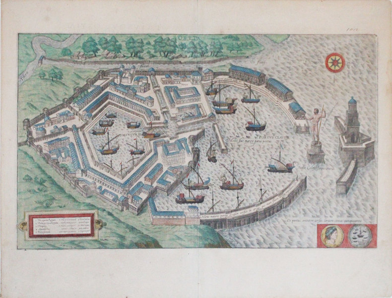
1572ref. LBW0621b[Cologne, 1572]. 351 x 497 mm.
1572ref. LBW-3249[Cologne, 1572]. 338 x 479 mm.
1575ref. LBW-7194[Cologne, 1575]. 353 x 493 mm.
1575ref. LBW-7902[Cologne, 1575]. 308 x 438 mm.
1572ref. LBW-3254[Cologne, 1572]. 310 x 453 mm.
1588ref. LBW-3234[Cologne, 1588]. 355 x 495 mm.
1588ref. LBW-3243[Cologne, 1588]. 289 x 431 mm.
1588ref. LBW-3306[Cologne, 1588]. 347 x 486 mm.
1572ref. LBW-3298[Cologne, 1572]. 336 x 480 mm.
1572ref. LBW-3233[Cologne, 1572]. 355 x 495 mm.
1588ref. LBW-3307[Cologne, 1588]. 294 x 496 mm.