BODENEHR (Gabriel);Livre Rare Book
12.365 resultados
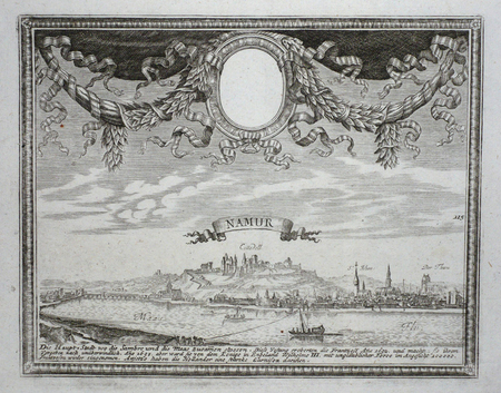
ref. LBW061f2Augsbourg circa 1730 151 x 192 mm.
ref. LBW061fb[Augsbourg, circa 1730]. 162 x 270 mm.
ref. LBW061f6Augsbourg circa 1730 En deux feuilles jointes de 156 x 405 mm.
ref. LBW061fcAugsbourg circa 1730 En deux feuilles jointes de 153 x 365 mm.
ref. LBW061faAugsbourg circa 1730 158 x 198 mm.
ref. LBW061f9Augsbourg circa 1730 143 x 207 mm.
ref. LBW061f7Augsbourg circa 1730 163 x 256 mm.
1730ref. LBW-405Augsbourg 1730 circa En deux feuilles jointes de 159 x 343 mm.
1988ref. 18128Nantes UPCP 1988 in-4° 3 ff + 197 pp, reproductions de cartes postales anciennes avec commentaire
1532In -folio, due voll. legati assieme; pp. (68), 504, (4); (40), 334, (2). Legatura in piena pelle alle armi di Felipe Ramirez Nuñez de Guzmán de Medina, nervi e titolo al dorso. Questa di Basilea del ’32 è considerata l’ultima e migliore edizione nel Cinquecento in latino delle Genealogie [...] che si deve all’umanista strasburghese Jakob Moltzer. Notevoli le illustrazioni genealogiche a piena pagina in quest’opera che, in vita, diede fama a Boccaccio, i cui lavori in volgare erano considerati una produzione minore. Rilegato con i Saturnalia e il commentario al Somnium Scipionis, le due maggiori opere di Macrobio nell’edizione di Camerario. Numerose illustrazioni nel testo fra cui l’incisione del planisfero macrobiano, diviso in zone climatiche, che costituì per circa un millennio il modello geografico terrestre: nella prima riproduzione a stampa di questa mappa, del 1483, le linee climatiche erano dritte, qui per la prima volta sono curve e rimandano a un modello di terra sferica e non piatta. This Basilea 1532’s edition is considered the last and the best latin edition in XVI century of “Genealogie”: it’s due to austrian scholar Jakob Moltzer. The full page genealogic illustrations are remarkable; this work gave a reputation to Boccaccio while he was still alive, and whose works in volgare were then considered a less important production. Bound with the “Saturnalia” and commentary to “Somnium Scipionis”, the most important Macrobio’s works in Camerario edition. Many illustrations in text: between them the macrobian world map, divided in climatical areas, that was for about 1000 years the geografic Earth pattern: in the first printed reproduction of this map, from 1483, the climatical lines were straight, while here they are bent and they suggest a spheric Earth model.
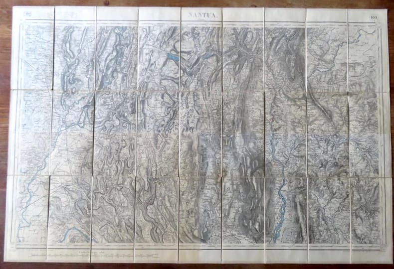
1800ref. 18275Paris, Librairie Plon / Plon, Nourrit et Cie. 1800 Carte au 1/80'000, entoilée, au format ouvert de 87 x 59 cm., vignette de la Librairie plon contrecollée au premier plat. Tampons de bureau technique. En belle condition.
ref. 18277Paris, Librairie Plon / Plon, Nourrit et Cie. Carte au 1/80'000, entoilée, au format ouvert de 87 x 59 cm., vignette de la Librairie plon contrecollée au premier plat. Tampons de bureau technique. En belle condition.
1982217 pages including bibliography and maps. Brings into our life and religion today the ancient word of God to Israel. Light wear. Unmarked. solid attractive copy. Book
ref. 90077Edisud, Atelier du Patrimoine de la Ville de Marseille, 1990, 19 planches sous chemise (complet), environ 46x35cm, tirage à 800 exemplaires, chemise salie, intérieur bien propre.
ref. 126605aafEinsiedeln in Kommission bei Benziger, 1950, in-8vo, 44 S. + 2 Bl. (1 leer) + 34 Tafeln + (Beilage:) gefaltete Karte d. Glarnerlandes v. 1682 + gef. Reliefphoto, illustrierte Original-Broschüre. O.-Schuber.
1920Une grande carte dépliante de 60x76cm environ, sous couverture cartonnée. Bel état. Voir photo.
1974ref. 1082201974 Editions Stock, Presses de la Cité - Collection "Les Grandes Batailles" - 1974 - In-4, cartonnage toilé rouge sous jaquette illustrée en couleurs de l'éditeur - 232 p. - Très riche iconographie in, hors-texte et pleine page en couleurs et en N&B
1959ref. LBW-6644Paris, Blondel La Rougery, 1959. 750 x 980 mm.
1950ref. 83361950 carte dépliante in-octavo dans une chemise illustrée en bleu et rouge, format déplié : 72,5 centimètres de large par 54,5 centimètres de haut, sans date (1930 environ) Paris Blondel La Rougery Editeur,
1950ref. LBW-8593Paris, Éditions Blondel La Rougery, 1950. 610 x 960 mm.
ref. LBW024c8[circa 1795]. 180 x 203 mm.
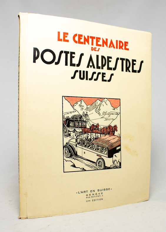
1932ref. 17496Genève, L'Art en Suisse, 1932. In-4 broché de 80 pages, couverture à rabats illustrée en deux tons.
1965Reli?. 168 + 79 pages. 21 x 30 cm.
1905Veduta panoramica della città dal Gianicolo. Pubblicazione fatta a cura del Consiglio Centrale per l'Italia dalla Pontificia Opera della Propagazione della Fede.In basso una legenda di 46 richiami sui luoghi notabili della città.Xilografia a colori, di Alfredo Blasi, la cui firma è in basso a destra.Rara. Veduta panoramica della città dal Gianicolo. Pubblicazione fatta a cura del Consiglio Centrale per l'Italia dalla Pontificia Opera della Propagazione della Fede.In basso una legenda di 46 richiami sui luoghi notabili della città.Xilografia a colori, di Alfredo Blasi, la cui firma è in basso a destra.Rara.
1984243 pages including index and glossary. Normal library markings. Abover average wear to boards with portion of front board peeled off at lower left corner. Corner of title page clipped off. Learn to read all there is to be found on a map. Learn to use the map with a compass. Learn to make simple maps and plans. These are worthwhile accomplishments. They are what this book is all about. Complete with many black and white diagrams and occasional photographs. A very practical book. Book