BLANC - DUVIOLMareMagnum

12.365 resultados
1850Vers 1850. Superbe carte monumentale entoilée manuscrite, encre et aquarelle, de 6 feuilles mesurant en totalité 1, 20 mêtre sur 1,32 mètre. Chaque feuille de 60 x 44 cm. L'ensemble replié dans un étui cartonné, titre sur une vignette contrecollée. Echelle de 23 dix millième de mètres pour 100 mètres. On notera une grande précision dans le dessin quant aux chemins vicinaux, à l'habitat, aux noms des Hameaux, Mas, Lieux dits, Riviéres ou Ruisseaux, Moulins ou Usines, Auberges, Relais de Poste, Eglises, Ponts, Ruines, Bergeries avec noms des propriétaires etc. Etui un peu frotté, vignette contrecollée tachée. Très bel état de la carte.
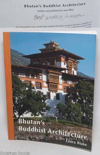
2015ref. 328252San Francisco: Self-published by the author 2015. Paperback. 108p. illustrated expertly by the architect author; her two line maps the numerous floorplan plats and the photographs in color very clear show an amazing combination of talents. Softbound in 10x8 inch colorphoto wraps an as-new copy despite Blake's brief ballpoint gift inscription on copyright page signed as "Laura" that is entirely sound clean and otherwise unmarked. Blake a practicing architect who is or was based in San Francisco. Conveniently the city boasts a full-on Asian Art Museum and consultation was provided by assistant curator Jeff Durham. Self-published by the author paperback books
1985(iv), 164 pages. Bibliography. Tables. Many black and white reproductions of archival black and white photos. Two fold-out maps. Author discovered the remains of Blakeburn while on vacation and, after finding a dearth of relevant history, decided to write a history of the town, located northwest of Princeton, B.C. First fold-out map shows the major buildings in Blakeburn and the underground workings of her three major mines in 1935. Second map shows No. 4 mine after the August 13, 1930 explosion. (Hale & Barman 84) Book
1958No marks or inscriptions. A very clean very tight copy with bright unmarked boards and no bumping to corners. Dust jacket not price clipped with dusty rear, piece missing around spine foot and a few small tears. 124pp. A guide to England's Lake District. Undated ca 1958.
36,5 x 47 cm. Blattgröße: 50 x 61 cm. *Rückseitig ohne Text. Breitrandiges sehr gut erhaltenes Exemplar, lediglich am Unterrand leicht fingerfleckig. Landkarten de
ref. 12065DBo.J. Willem Janszoon Blaeu, (auch: Guiljelmus Blaeuw, Willem Jansz, Willems Jans Zoon, Guilielmus oder G. Blaeu), geboren 1571 in Alkmaar oder Uitgeest, gestorben 1638 in Amsterdam. Niederländischer Kartograf und Verleger. [2 Warenabbildungen]
ref. 66533CBo.J. (Willem Janszoon Blaeu, geb. 1571 in Alkmaar oder Uitgeest (NL), gest. 21.10.1638 in Amsterdam, niederländischer Kartogr
ref. 66534CBo.J. (Willem Janszoon Blaeu, geb. 1571 in Alkmaar oder Uitgeest (NL), gest. 21.10.1638 in Amsterdam, niederländischer Kartogr
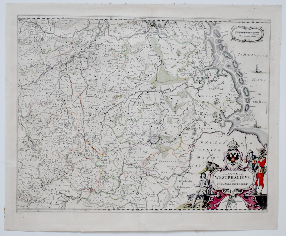
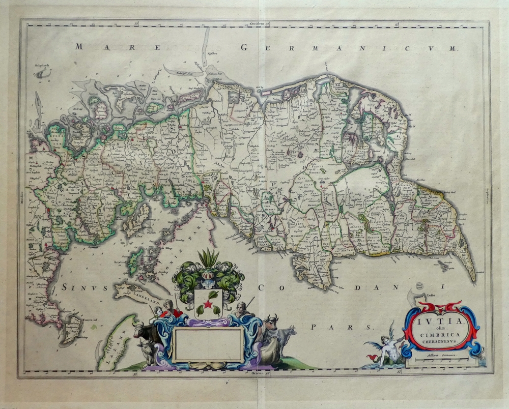
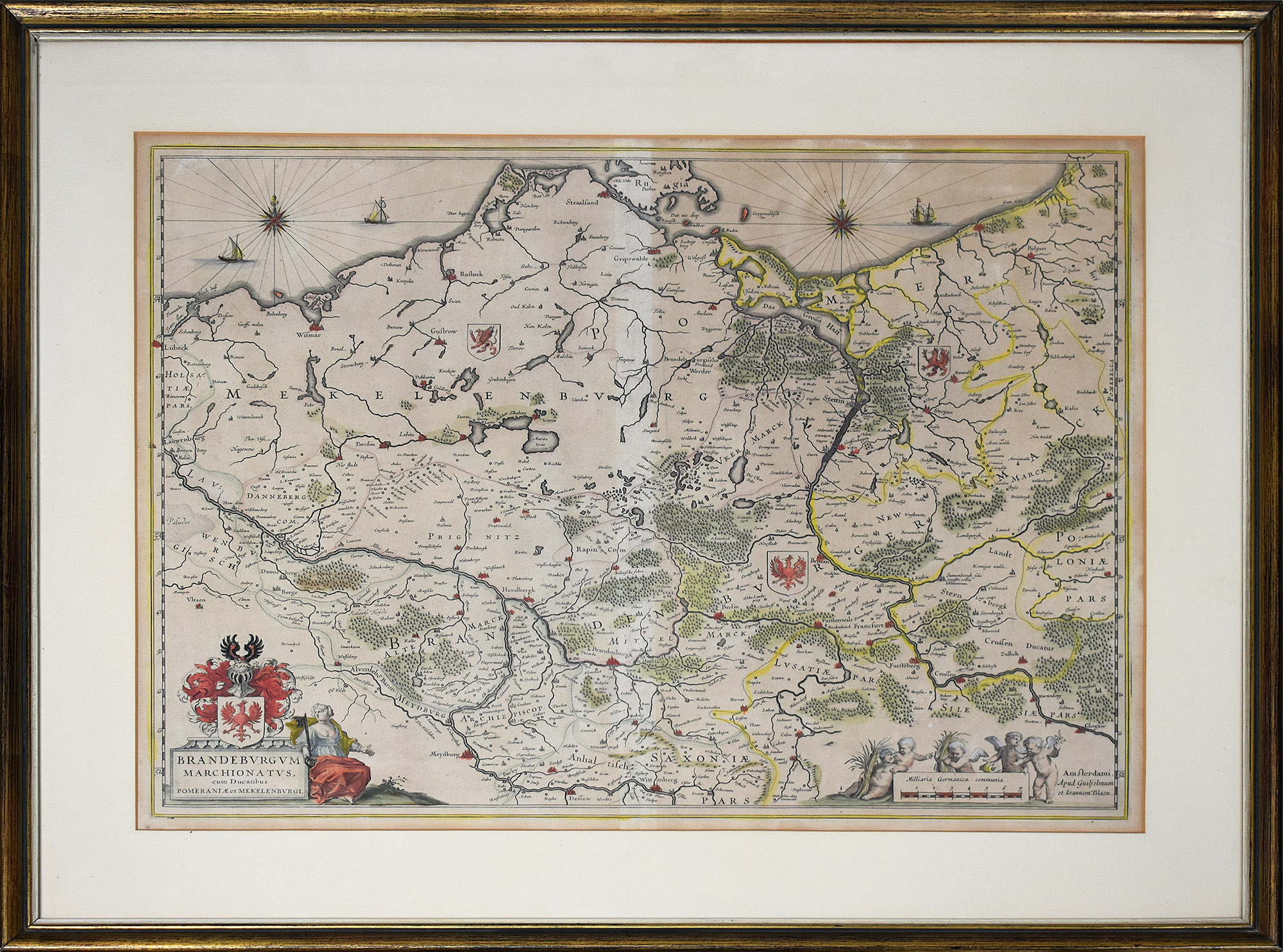
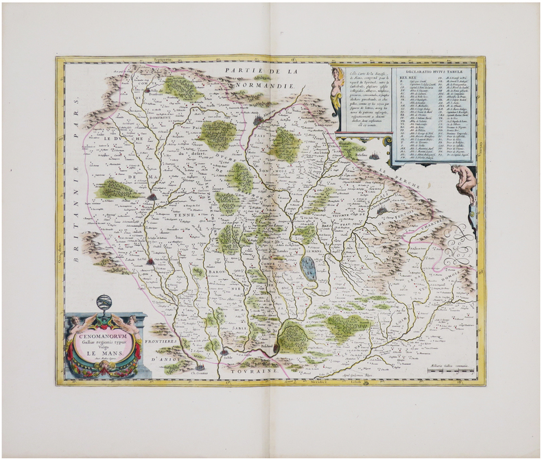
1639ref. KART0160Amsterdam, W. Blaeu um 1639. Bildausschnitt: 50x37,5 cm, Blattgröße: 49,7 x 59 cm; mittiger, gebräunter Falz, oben rechts dekorative Wappenkartusche, auf Rückseite lateinische Legende mit attraktiver Anfangsinitiale. Attraktives Blatt.
ref. 53247BBo.J. Joan Blaeu (Johannes Blaeu), geboren 1596 in Alkmaar, Niederlande; gestorben 1673 in Amsterdam.
1667ref. 79684[Amsterdam, Johannes Blaeu, [ca. 1667]. Darstellung ca. 43,5 x 57,5 cm., Blatt ca. 52 x 61 cm.
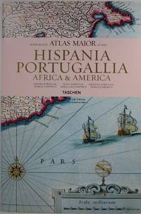
2006ref. 30647Köln: Taschen 2006. Hardcover. Very Good/Very Good. 15.3x10.3x1.2in. small indents on back cover. Dust jacket in clear protector. Reproduces all 64 maps of Spain Portugal Africa and America and the original commentaries from John Blaeu's Atlas Major of 1665 "the greatest and finest atlas ever published." Text in Spanish English and Portuguese. 232pp 4.66lb 15.3x10.3x1.2in Taschen hardcover
ref. 66144CBo.J. [3 Warenabbildungen] (Guiljelmum Blaeu, dt. Willem Janszoon Blaeu, geb. 1571 in Alkmaar oder Uitgeest, gest. 1638, niederländischer Kartograf
ref. DADAX1932786252New unknown
1904352p. + color maps. Numerous text maps, photographs and drawings. Decorated title page stamped with a Glasgow bookseller's label. Lacks first and last endpapers. Small 8vo. (7") Original full red cloth binding, decorated and lettered in black. Binding soiled. Hardbound. ENGLAND BOX 2
1668ref. LBW-8686[Amsterdam, 1668]. 433 x 540 mm.
1643ref. LBW-861Amsterdam, [1643-1650]. 380 x 498 mm.
ref. LBW04170Amsterdam Petrus Schenk circa 1680 497 x 588 mm.
1643ref. LBW-6197Amsterdam, [1643-1650]. 379 x 497 mm.
1662ref. LBW-6308[Amsterdam, 1662]. 374 x 486 mm.
1635ref. LBW-4801[Amsterdam, 1635-1638]. 373 x 494 mm.
1640ref. LBW-1474[Amsterdam, vers 1640]. 384 x 497 mm.
1647ref. LBW-8804[Amsterdam, 1647-1669]. 382 x 502 mm.
1642ref. LBW-8049[Amsterdam, 1642-1650]. 382 x 500 mm.
1704ref. LBW00282Amsterdam Pierre Mortier 1704 414 x 522 mm.