BASSET (Paul André).Livre Rare Book
12.210 resultados
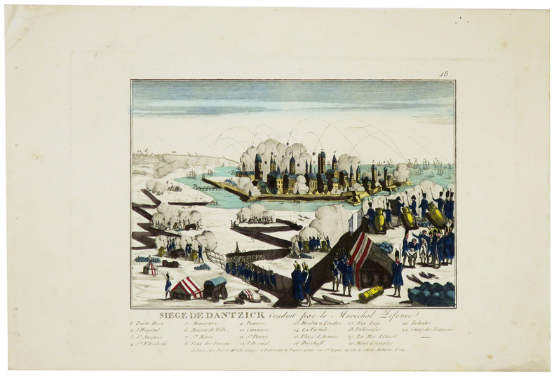
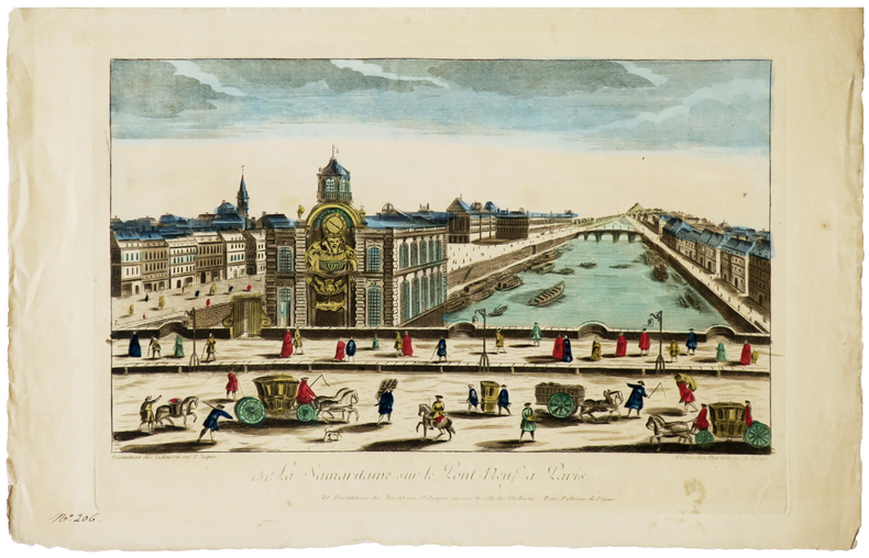
1780ref. LBW-6280Paris, Daumont, Lachaussée puis Basset, [circa 1780]. 284 x 420 mm.
1807ref. LBW-5965Paris, Basset, [1807]. 170 x 197 mm.
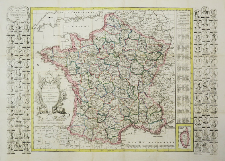
1816ref. LBW-3688Paris, Basset, 1816. 477 x 680 mm.
1780ref. LBW-5770[circa 1780]. 280 x 390 mm.
1780Questo panorama di Roma risulta essere una copia di quello edito da Chereau intorno al 1730 circa. L’assenza del porto di Ripetta e della scalinata di Trinità dei Monti permette di datare il paesaggio ritratto al 1700 circa. La raffigurazione di San Pietro ricorda quella del Barriere che è forse da ritenersi il lontano prototipo di questa serie di vedute edite in Francia nel XVIII secolo.Di questa incisione è nota una variante, censita da Marigliani, che reca in basso l’indirizzo di François Basset, e la cui edizione risale al 1780 circa.È quindi possibile suppore che questo sia il primo stato della lastra, avanti l’indirizzo editoriale, oppure che Basset abbia successivamente acquisito il rame e pubblicato con l’aggiunta del proprio indirizzo.Incisione in rame, finemente colorata d'epoca, in basso tre righe di testo in francese e legenda numerica 1-16, in ottimo stato di conservazione. This panoramic view of Rome is a copy of the one published by Chereau around 1730 or so. The absence of the port of Ripetta and the stairway of Trinità dei Monti allows us to date the landscape portrayed to around 1700. The depiction of Saint Peter recalls that of the Barriere which is perhaps to be considered the prototype of this series of views published in France in the eighteenth century.Marigliani describes a copy bearing the address of François Basset below, and whose edition dates back to around 1780.It is therefore possible to suppose that this is the first state of the plate, before the editorial address, or that Basset has subsequently acquired the plate and then published it with the addition of his own address.Copper engraving, finely colored at the time, three lines of text in French at the bottom and numerical key 1-16, in excellent condition. C. Marigliani, "Le Piante di Roma delle collezioni private", tav. 174 (variante)
ref. 17045IN4 1950,2e edition,carte coloriée depliante en accordeon d’un sel tenant de Bougival a Tourville(Rouen),tres rare,complet,pres de 100Km de berges,
1942ref. 15259Paris, Chacornac, 1942 ; in-8, brché ; (1) f. blanc, 53, (1) pp., couverture vert-olive imprimée en vert foncé.
1798In -8°, due volumi, pp. 457 con due tavole ripiegate, pp. 436 con 1 tavola ripiegata e grande carta geografica pieghevole a cura di J.B. Poirson e stampata da Blondeau, legatura in pelle, con tasselli e titolo al dorso. Nel secondo volume manca la quarta tavola ripiegata, tavola non presente in tutti gli esemplari (v. Stafleu & Cowan, 329 ed. fr.); all’antiporta del primo vol. illustrazione con Mico Chlucco, il Gran Guerriero o il Re dei Seminole. Prima edizione francese. Particolarmente dettagliata la carta geografica, importante per capire il livello di accuratezza raggiunto dalle esplorazioni scientifiche. In -8°, two volumes, pp. 457, with two large folded plates, pp. 436 with 1 folded plate and large folded map by J.B. Poirson and engraved by Blondeau, leather binding with title at the back. In the second volume the fourth folded plate is missing which is not existing in each copy, (see Stafleu & Cowan, 329 ed. fr.). At the frontispice of the first volume portrait of Mico Chlucco, the Great Warrior or the King of Seminoles. First French edition.
ref. RO20213371Pélican Amitié et Civilisation. Non daté. In-8. Broché. Bon état, Couv. convenable, Dos satisfaisant, Intérieur frais. 54 pages augmentées de nombreuses photos de cartes postales en noir et blanc hors texte.. . . . Classification Dewey : 741.68-Illustrations des cartes postales
1864ref. LBW-66351864. In-folio ; demi-percaline noire, dos lisse muet, pièce de titre de maroquin rouge sur le premier plat (reliure de l'époque).
19218vo., folding coloured map on cloth measuring 34.5 x 29 inches (approx. 88 x 74 cms) folding in 24 panels to 9.5 inches (approx. 23 x 13 cms); wrappers lettered in red and black, certain folds neatly reinforced, some mild age-soiling and rubbing else a very good, bright, clean copy. VERY SCARCE IN THIS CONDITION.
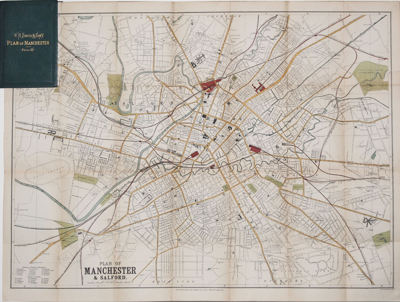
1890ref. LBW-3270[circa 1890]. 500 x 680 mm ; replié et monté dans une reliure de percaline verte de l'éditeur W.H. Smith & Sons contenant l'index des rues (16,2 x 10,5 cm).
1955No marks or inscriptions. Two secitions slightly sunned. A little tearing along most exposed vertical fold. Some exposure of the linen but still intact along some other folds. 1pp. Folded linen-backed vintage map of Cork and Killarney opens up to 23 x 33 inches. Undated ca 1950s. Compass north bearing date 1948.
1955No marks or inscriptions. A little very slightl sunning. Intact map with no tears. 1pp. Folded linen-backed vintage map of Galway and Mayo opens up to 23 x 33 inches. Undated ca 1950s. Compass north bearing date 1951.
1971ref. 10980Bartholomew, Edinburgh 1971. Farbige gefaltete Karte. Ca. 66 x 86 cm (bxh). Geringe Gebrsp.
1884ref. 56997Edinburgh.: A & C Black. 1884. Printed colour map of Australia some light foxing few minor tears browned edges still a clear and bright image. Map measures approximately 42 x 55cm. . A & C Black unknown
1865ref. 154409London.: George Philip & Son. 1865. 9 coloured maps by William Hughes segmented and mounted on linen 55.3 x 65.2cm. Folds into cloth covered case 17.2 x 12cm. Spine of case little faded and ribbon tie missing. Relief shown by hachures and spot heights. Philips' series of travelling maps series. Very good copy. Features a dominant map of New Zealand with 3 maps as insets to this map and 6 other maps separately shown within their own borders. The 3 inset maps are: Norfolk Island and Philip Island; Enlarged map of Auckland and the adjacent country; Enlarged plan of the country around Dunedin and the eastern portion of the Otago Gold Fields from Thomson's map. The 6 maps in addition to the New Zealand map are The Ladrones or Mariana Islands; The Sandwhich Islands; The Galapagos Islands; The New Hebrides and Santa Cruz Islands; The Feejee Friendly and Samoan Islands; The Marquesas Society and Low Archipelago. The New Zealand maps includes a list of native tribes and their locations. . George Philip & Son. hardcover
2008ref. 3278London 2008. Slipcased. as New. Bartholomew John G maps. Used - VG: in very good condition with slipcase Hardcover ISBN 13 9780007801503 ISBN 10 0007801505 The Times Book Group. Illustrated hardback laminated board cover. 460mm x 320mm 18" x 13". 67pp 224pp plates. Colour maps. Heavy item - shipping supplement will apply for overseas. . unknown
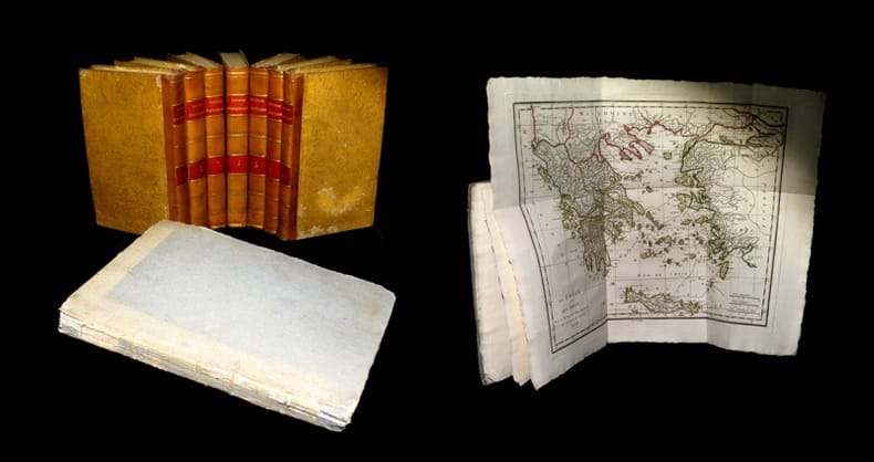
1817ref. 19077A Paris, chez E. A. Lequien / de l'Imprimerie de P. Didot l'Aîné, 1822 - A Paris, chez de Bure, 1839 (pour le volume d'Atlas). 7 vol. de texte au format in-8 (225 x 141 mm) de 1 f. bl., 2 ff. n.fol., 1 frontispice gravé n.fol., 451 pp. et 1 f. bl. ; 1 f. bl., 2 ff. n.fol., 488 pp. et 1 f. bl. ; 1 f. bl., 2 ff. n.fol., 462 pp., 1 f. n.fol. et 1 f. bl. ; 1 f. bl., 2 ff. n.fol., 474 pp., 1 f. n.fol. et 1 f. bl. ; 1 f. bl., 2 ff. n.fol., 466 pp., 1 f. n.fol. et 1 f. bl. ; 1 f. bl., 2 ff. n.fol., 423 pp., 1 f. n.fol. et 1 f. bl. ; 1 f. bl., 2 ff. n.fol., 438 pp., 1 f. n.fol. et 1 f. bl. 1 vol. d'Atlas au format pt in-4 (282 x 223 mm) de xlii pp et 31 planches gravées, sous couverture d'attente de l'époque de plein cartonnage gris-perle.
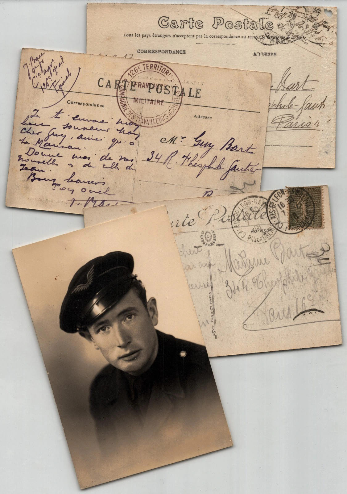
1918ref. 920060113147Ensemble de trois cartes postales autographes et d'une photographie, adresses a Guy Bart et a Madame Bart, 34 rue Theophile-Gautier a Paris. La premiere carte est datee du 30 septembre 1917. Les deux autres ne sont pas datees et relevent de la periode de la Grande Guerre d'apres les cachets. Redigees a l'encre brune, a l'encre violette et au crayon sur cartes postales illustrees : Le Mans, 31e Regiment d'Artillerie ; Epinal, Casernes de la Madeleine ; Calais, Le Theatre. L'une porte le cachet 126e Territorial - Compagnie des Travailleurs Agricoles - Franchise Militaire et l'autre un timbre Semeuse avec cachet de Calais. On joint un portrait photographique d'atelier d'un jeune homme en calot a insigne aile. Ces cartes donnent des nouvelles familiales : un soldat ecrit de sa caserne du Mans, un territorial d'une compagnie agricole d'Epinal demande des nouvelles des siens, et une voyageuse annonce son arrivee. Dimensions : 13,9 x 8,9 cm. Etat : Bon etat general.
1913ref. jj5340Maison Andriveau-Goujon Carte 1913 In-8 (12.5x23.5 cm), carte pliée, carte du Finistère reproduite en couleurs ; traces sur les plats, assez bon état. Livraison a domicile (La Poste) ou en Mondial Relay sur simple demande.
1984ref. 8187Creative Arts Book Compagny / San Francisco 1984. In-8 cartonnage éditeur de 172 pages au format 14,3 x 22,5 cm. Couverture avec titre imprimé. Dos rond. Plats et intérieur faris. Complet de la belle jaquette illustrée, avec petits frottis aux coins et minuscule déchirure en haut du 1er plat. Edition originale. Exemplaire du service de presse accompagné du prière d'insérer et du carton hommage de l'éditeur ainsi que d'une carte postale, représentant un visage d'Indien Shaman, ornée d'une superbe dédicace autographe, de 13 lignes, signée, et datée de l'auteur. Celles-ci sont très rares.
1806ref. PHO-1285Dentu, Imprimeur - Libraire, Paris, 1806, 2 volumes in-8 , x-310pp. ,2ffnch.-312pp. ,illustré de 8 cartes dépliantes , relié plein cuir époque , dos lisse avec pièce de titre rouge et tomaison noire , tranches mouchetées bleues , coupes et coins usés , début de fentes , rares rousseurs , frottements.
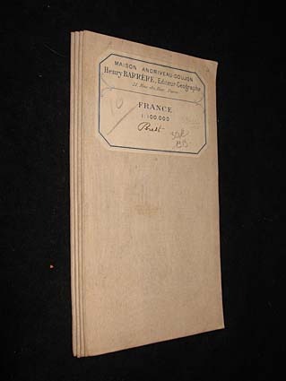
1890ref. LBW-7857Paris, Dépôt de la Guerre, 1890. En 27 sections montées sur toile et repliées, formant une carte de 0,61 x 1,14 m ; étiquette au dos de la carte de la Maison Andriveau-Goujon Henry Barrère, Éditeur Géographe.