Barrigue:Livre Rare Book
12.210 resultados
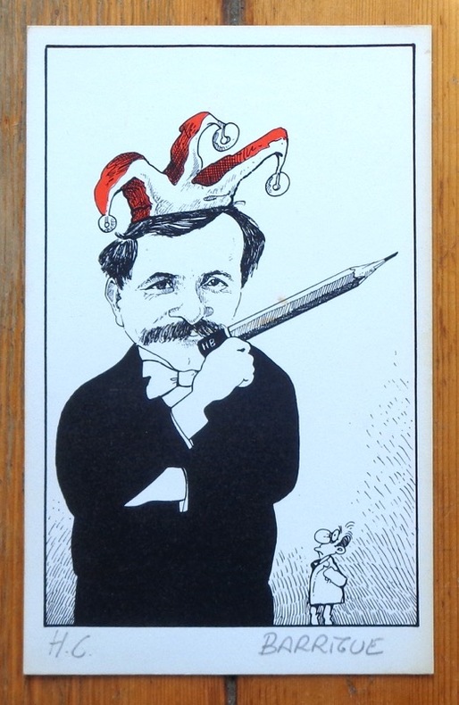
ref. 6306Sérigraphie en deux tons, au format 12,5 x 20 cm. Très légèrement jaunie en bord.
ref. 1899Etiquette et bandeau pour une Dôle de Sierre Tavelli.
2005No inscriptions or marks. No creasing to covers or to spine. A very clean crisp tight copy with bright unmarked boards, very slight traces of handling and no bumping to corners. 64pp. A brief history of Dublin, a guide and map to the city.
1904Carte entoilée en couleur au format 94 x 68 cm, échelle 1 : 3500000, Maison Andriveau-Goujon, Henry Barrère, Paris, 1904 (mention rev. 1904), carte n° 15, atlas usuel n° 21 ; atlas universel n° 34, gravé : le trait par Smith, la topographie par Gérin, les Ecritures par Rousset, les Eaux par Mme Fontaine Belle grande carte entoilée de l'Empire ottoman (petites usures aux pliures, une petite annotation marginale). Français
1904ref. 26332Carte entoilée en couleur au format 94 x 68 cm, échelle 1 : 3500000, Maison Andriveau-Goujon, Henry Barrère, Paris, 1904 (mention rev. 1904), carte n° 15, atlas usuel n° 21 ; atlas universel n° 34, gravé : le trait par Smith, la topographie par Gérin, les Ecritures par Rousset, les Eaux par Mme Fontaine
1998ref. 9811998 - broché - Editions Lyonnaises d'Art et d'Histoire - Collection Vues de quartiers - 1998 - In-8 (22,5 x 16 cm) broché - 128 pages - Riche iconographie (plans, photographies) en noir et blanc - ISBN : 2-84147-060-1 / 9782841470600
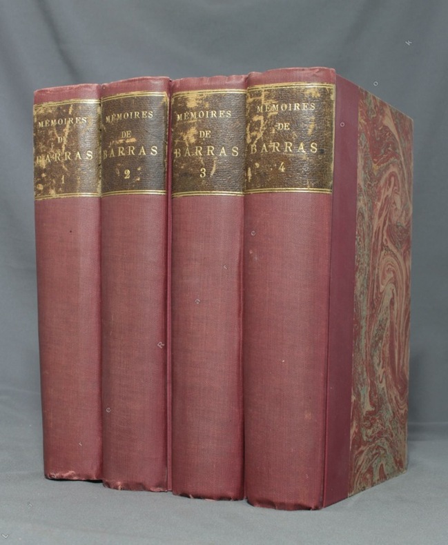
1895ref. 1723Paris, Lib. Hachette, 1895-1896. 4 volumes in-8 de LXXXIII-372 / XVI-543 / XXXVI-526 et XXXII-548 pages, demi-percaline bordeaux, dos lisses, étiquettes de titre brunes, un brin frottées, couvertures conservées.
1904ref. LBW-84411904. En 20 sections montées sur toile et repliées, formant une carte de 731 x 554 mm ; étiquette au dos de l'éditeur Maison Logerot V.P. Marin.
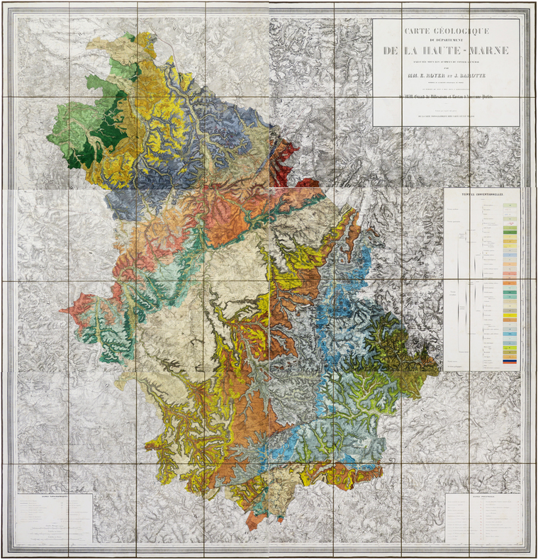
1859ref. LBW-6191Nancy, Wiener Aîné Fils, 1859-1863. En six feuilles coupées en sections et montées sur toile brune, pouvant être jointes pour former une carte d'environ 1,72 x 1,63 m ; étiquette de l'éditeur Wiener Aîné Fils, papetier à Nancy, au dos de chaque carte ; sous emboîtage in-4 de papier marbré de l'époque.
1964No marks or inscriptions. A very clean very tight copy with bright unmarked boards and no bumping to corners. Dust jacket not price clipped or marked, torn or creased with a little rubbing to bottom of spine. 307pp. The author follows a route from Boulogne by way of Reims, Colmar, Lucerne, the St Gotthard Pass, Milan, Lake Maggiore, Cremona, Ravenna, Florence and finally Rome where he continues his tour.
1923Une feuille 57x45 cm.
1988208 pages including index. From the first firing of guns at Fort Sumter to the ultimate surrender of the South, richly illustrated with many contemporary engravings and rare photographs as well as many colour illustrations and maps. A must for every Civil War Buff. Clean and unmarked. Very light wear. Gorgeous copy of this handsome work. Book
1994No marks or inscriptions. A very clean crisp very tight copy with bright unmarked boards and no bumping to corners. Dust jacket not price clipped or marked or torn or creased with light traces of storage. 144pp.
ref. 130920aaf1782 - Germinal An VI, 34x23 cm, carte sous passepartout.
2017ref. WOC-1388Volume 2: Communes Réunies , Communes Démembrées. Nombreuses illustrations de cartes. La Salévienne, 2017. In-4 (28x22cm) de cartonnage souples illustré. 179pp.
2014ref. WOC-687Ouvrage orné de cartes en dont 17 cartes hors-texte. La Salévienne, 2014. Petit in-4 (27,5x21,5cm) cartonnage souple illustré et plastifié. 134pp.
1697Mappa di Roma del XVII secolo, incisa a Roma da Antonio Barbey e pubblicata da Domenico de Rossi.Si basa sulla grande pianta murale di Giovan Battista Falda, ma mostra con particolare cura gli interventi urbani sotto il pontificato di papa Innocenzo XII, tra i quali la dogana di mare a Ripa Grande (1694). Sono inoltre contenute nella pianta una serie di interessanti note e i nomi delle ville e vigne entro le mura della città.Comprende un elegante cartiglio con titolo e stemma in alto, e un secondo cartiglio con un lungo elenco che individua 464 luoghi di interesse nella Città Eterna.La mappa è orientata a nord-est in alto e comprende siti antichi e moderni. "I lotti edificati sono campiti con puntinato e vengono indicati i nomi di molte strade. L'impostazione generale e vari dettagli denotano la derivazione di questa pianta dalla grande del Falda cui il Barbey apportò però numerosi aggiornamenti. Sono infatti riportati i nuovi interventi di Innocenzo XII tra i quali la dogana di mare a Ripa Grande (1694). Sono inoltre contenute nella pianta una serie di interessanti note e i nomi delle ville e vigne entro le mura della città. In basso a sinistra è scritto Ant. Barbey Sculp. ed a destra Domenico de Rossi [...] l'anno 1697 il di 25 maggio. Sotto il titolo in alto è riportata la dedica a Mons. Ranuccio Pallavicino Governatore di quest'alma Città e vice Camerlengo [...] Innocenzo XII felicemente regnante. Sui due lati legenda con 464 numeri di rimando ed elenco dei XIV rioni, e, in basso a destra, l'indice delle chiese di Roma" (cfr. Marigliani p. 253). Incisione in rame con bellissima coloritura a mano, alcune pieghe di carta perfettamente restaurate, per il resto in buono stato di conservazione. Rara. Bibliografia Frutaz n. 162, Scaccia Scarafoni n. 206, Huelsen n. 135; Marigliani n. 159. Map of Rome from the 17th century, engraved in Rome by Antonio Barbey and published by Domenico de Rossi. It is based on the large wall map by Giovan Battista Falda, but shows with particular care the urban interventions under the pontificate of Pope Innocenzo XII, including the sea customs house at Ripa Grande (1694). The map also contains a number of interesting notes and the names of the villas and vineyards within the city walls. It includes an elegant cartouche with title and coat of arms at the top, and a second cartouche with a long list identifying 464 places of interest in the Eternal City. The map is oriented north-east at the top and includes ancient and modern sites. Built-up lots are dotted and the names of many streets are indicated. The general layout and various details indicate that this map derives from Falda's great map, to which Barbey however made numerous updates. In fact, the new interventions of Innocent XII are shown, including the sea customs house at Ripa Grande (1694). The map also contains a series of interesting notes and the names of the villas and vineyards within the city walls. At lower left is written Ant. Barbey Sculp. and on the right Domenico de Rossi [...] the year 1697 the 25th of May. Under the title at the top there is the dedication to Monsignor Ranuccio Pallavicino Governor of this great City and Vice Camerlengo. On both sides a legend with 464 reference numbers and a list of the XIV districts, and, at the bottom right, the index of the churches of Rome (cf. Marigliani p. 253). Copper engraving with fine later hand colour, few repaired paper folds, otherwise in good condition. Rare. Bibliografia Frutaz n. 162, Scaccia Scarafoni n. 206, Huelsen n. 135; Marigliani n. 159.
2009A book on the early map of Great Britain and Ireland forming part of the collection assembled by the antiquary and administrator Sir Robert Cotton. 158 pages. With Notes. In slip-case. Slipcase has some light wear.
ref. 76476Humanoïdes associés 1977 livre étude 26*21 126 pages
1985ref. 99384Braunschweig, Archiv-Verlag, [ca. 1985]. Mehrfachk gefalt. farb. Karte (Blattgröße ca. 48 x 83 cm; Bildgröße ca. 44 x 78 cm).
1851ref. 169441851 1 carte toilée en 12 sections, 560 x 450 mm., Strasbourg Lith. Simon 1851
1937Map of the county issued by the Bank of America. Includes vital statistics and points of interest. Back side provides a short history of the county and details of the bank. Average wear and soiling. Short openings to periphery. 21.5" x 16.75". Map
1967ref. 32992set3Arno Press 1967-01-01. Hardcover. Good. All 3 volumes hardbound copies without jackets Arno Press 1967. Vol. 1 Vol. 6 of Bancroft's Works 1501-1530: bookplate inside front cover marks on back cover no text markings noted. Vol. 2 Vol. 7 of Bancroft's Works 1530-1800: bookplate inside front cover small marks on top edge no text markings noted. Vol. 3 Vol. 8 of Bancroft's Works 1801-1887: bookplate inside front cover no text markings noted. Arno Press hardcover
1975Kbhvn., Den danske Landinspektørforening, 1975. Orig. halvlæder. 333 s. Illustr. + Mappe i folioformat med 14 farvereproduktioner.
1975ref. 38906Kbhvn., Den danske Landinspektørforening, 1975. Orig. halvlæder. 333 s. Illustr. + Mappe i folioformat med 14 farvereproduktioner.