12.535 resultados
1774ref. 174257Paris.: Chez Saillant et Nyon rue Saint-Jean-de-Beauvais Chez Panckoucke Hotel de Thou rue des Poitevins. 1774. Engraved map on laid paper 18.5 x 31cm 25.6 x 34.4cm sheet size central fold slight marginal toning but a very good dark impression. Map of Bonthain Bay situated southeast of Macassar on the island of Celebes finely re-engraved for the French edition of Captain James Cook's First Voyage 1768-1771 "Relation des voyages.pour faire des decouvertes dans l'hemisphere meridional et successivement executes par le commodore Byron le capitaine Carteret le capitaine Wallis & le capitaine Cook.". . Chez Saillant et Nyon, rue Saint-Jean-de-Beauvais, [Chez] Panckoucke, Hotel de Thou, rue des Poitevins. unknown
1782Mappa del mondo, basata sulla proiezione di Mercator, disegnata da Seguin e pubblicata da Robert Benard.Incisa da J. B. L. Aubert, la mappa fa parte dei Voyages autour du Monde et vers les deux Poles par Terre et par Mer, di Pierre Marie François de Pages, stampato nel 1782.Nato da una famiglia nobile, l'ufficiale di marina francese Pierre Marie François de Pages fece un viaggio di cinque anni in tutto il mondo, tra il 1767 e il 1771. Successivamente partecipò a un viaggio di due anni al Polo Sud, tra il 1773 e il 1774. Alla fine ho fatto un viaggio al Polo Nord nel 1776. Questi viaggi sono stati raccontati nella sua pubblicazione del 1782.Incisione in rame, solite pieghe di carta, altrimenti in buone condizioni. Map of the World on Mercator's projection by Seguit and Robert Benard.Engraved by J. B. L. Aubert the map is part of the Voyages autour du Monde et vers les deux Poles par Terre et par Mer, by Pierre Marie François de Pages, printed in 1782.Born of noble family, a French naval officer, Pierre Marie François de Pages, made a five-year voyage around the world, between 1767 and 1771. Subsequently he took part in a two year voyage to the South Pole, between 1773 and 1774. Finally he made a trip to the North Pole in 1776. These voyages were recounted in his publication of 1782. Engraving, usual folds, otherwise in good condition.
1989Very faint marking to title page. No other marks or inscriptions. Creasing and minor rubbing to covers. Very clean very tight pages. 128pp. History and tourist guide to Tunisia, very well illustrated.
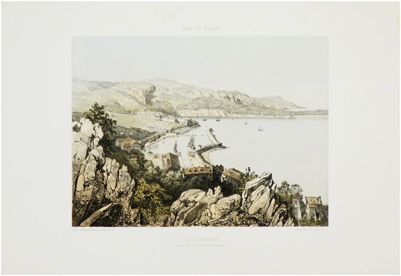
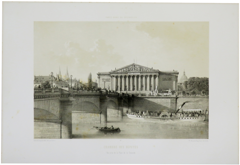
1864ref. LBW-7184Nantes, Charpentier, [1864]. 257 x 327 mm.
1863ref. LBW-7594Nantes, Charpentier, [1863]. 350 x 262 mm.
1829ref. LBW-6825New York, H.I. Megarey, [1829]. 560 x 430 mm.
1864ref. LBW-7232Nantes, Charpentier, [1864]. 248 x 319 mm.
1864ref. LBW-7234Nantes, Charpentier, [1864]. 259 x 313 mm.
1872ref. LBW-7281Nantes, Charpentier, [1872]. 287 x 403 mm.
1863ref. LBW-7536Nantes, Charpentier, [1863]. 260 x 316 mm.
1864ref. LBW-7175Nantes, Charpentier, [1864]. 262 x 310 mm.
1863ref. LBW-7555Nantes, Charpentier, [1863]. 262 x 316 mm.
1864ref. LBW-7182Nantes, Charpentier, [1864]. 263 x 312 mm.
1864ref. LBW-7231Nantes, Charpentier, [1864]. 249 x 312 mm.
1860ref. LBW-6518[1860]. 252 x 340 mm.
1863ref. LBW-7568Nantes, Charpentier, [1863]. 270 x 321 mm.
1863ref. LBW-7587Nantes, Charpentier, [1863]. 260 x 320 mm.
1863ref. LBW-7591Nantes, Charpentier, [1863]. 260 x 316 mm.
1863ref. LBW-7592Nantes, Charpentier, [1863]. 255 x 313 mm.
1864ref. LBW-7190Nantes, Charpentier, [1864]. 255 x 333 mm.
1864ref. LBW-7230Nantes, Charpentier, [1864]. 247 x 307 mm.
1863ref. LBW-7543Nantes, Charpentier, [1863]. 270 x 315 mm.
1991ref. 26434Carouge, Fondation du présent et les auteurs, 1991. Lot de 80 x la même grande carte (16x22), éditée à l’occasion de l’album collectif "Les aventures du latex", projet réunissant des auteurs européens autour du thème de la prévention et du préservatif. Illustration de Benoît Van Innis.
1861ref. LBW-5515Paris, Henri Charpentier, [1861]. 279 x 357 mm.
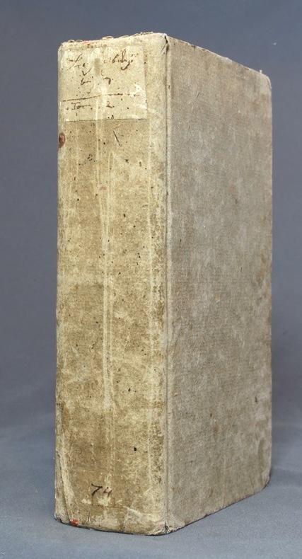
1791ref. 10281Leipzig, Dykische Buchhandlung, 1791. Petit in-8 de [6]-602 pages, cartonnage gris, étiquette manuscrite au dos, en grande partie effacée, tranches mouchetées. Premier et dernier cahier déboîtés mais parfaitement solidaires. Quelques rousseurs.