[ROCHAMBEAU, Jean-Baptiste Donatien, de Vimeur comte de].Livre Rare Book

11.756 resultados
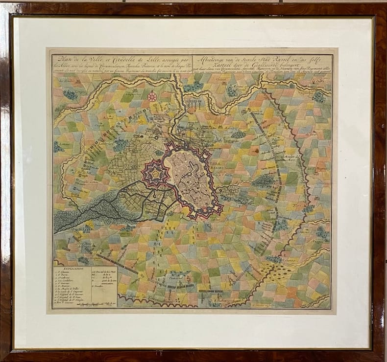
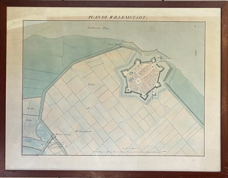
1780ref. 4944[I. France, circa 1780]. II. Bruxelles, chez George Fricx, rue de la Madeleine, imprimeur. 1745. 1780 I: 1 feuille de 1 102 mm par 511 mm, tracée à l'encre et aquarellée ; II: 1 feuille de 420 mm par 456 mm, imprimée en noir. Les deux sont contrecollées sur toile. Cartonnage-étuis d'époque à rabats.
ref. 13279s.d. (XIXème). Plan manuscrit aquarellé (41 x 26 cm), légende des lieux en marge.
ref. 99331882. Plan manuscrit aquarellé (55 x 35 cm), nombreuses annotations manuscrites reprises sur le plan original.
1772ref. 78798Kopenhagen, André Philippe de Pretot, 1772. Blattmaß 28 x 40 cm; Bildmaß 18 x 28,5 cm.
ref. 14136Jamas, s.l., 1655 (1930-32). Grand plan divisé en 4 feuilles de 39 x 72 cm chacune. Quelques taches et une petite déchirure en marge.
Colour-printed map, ca. 750 x 610mm. Scale: 1:1,000,000. Rare 5th GSGS edition of this map of Qatar, Bahrain, and Ras Tanura in Saudi Arabia, as part of the International Map of the World series. Depicts Saudi Arabia from As Saffaniyah in the North over Hofuf, to Hidiba in the South. Shows boundaries, highways and roads, railways, airports, rivers and water features, and other details. - Two small brown spots to the image and a nick to the top edge, some creasing near margins. OCLC 34907145.
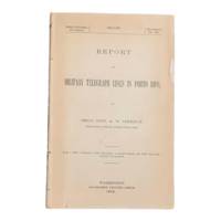
1900ref. 6902Washington D.C.: Government Printing Office 1900. First edition. 8vo 100pp. Color folding map 42x108cm attached at rear. Stitched lacking wrappers or disbound from a larger publication paper toned with light chipping. Map clean. A good copy. Senate Document No. 429 56th congress. This report was given by Adolphus Washington Greely 1844-1935 then Brigadier General and Chief Signal Officer of the U.S. Army. Greely was in charge of maintaining communications networks during the Spanish-American War and oversaw construction and maintenance of telegraph lines in Puerto Rico Cuba and the Philippines. The map in this report is "Map of the Island of Porto Rico Showing the lines of signal communication telegraph telephone and heliograph operated by the Signal Corps U.S. Army with Military Posts." It was prepared by major William A. Glassford under the direction of Greely. OCLC cites 11 holdings. . Government Printing Office unknown
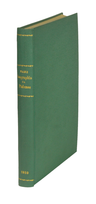
1959ref. 48400Madrid, Victoriano Suarez, 1959. 4°. Mit zahlr. meist ganzs. Abbildungen. 281 S., 2 Bll., Lwd. d. Zt. m. goldgepr. Rückentitel u. dem eingeb. OUmschlag.
1959ref. 94939Boston: Atlantic Monthly Press/Little Brown and Company 1959. Hardcover. xvii 435p. 8p. photos later printing cloth edgeworn dj. Atlantic Monthly Press/Little, Brown and Company hardcover books
ref. 166176 cartes présentant 6 timbres de la série Helvetia, Pro Junventute, de 1921 à 1926. Format des reproductions 15 x 18 cm.
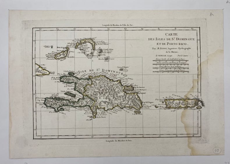
ref. 231866Venise, (c.1790), , Mouillure sur le côté droit.
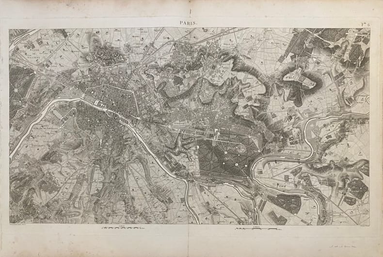
ref. 232345Picquet, (ca. 1810), 46 x 80.5 cm (cuvette) - 55.5 x 82 cm (feuille) , Légères rousseurs. Petite déchirure n'atteignant pas la composition.
ref. 231856Novembre-Décembre 1930 à vue : 50 x 31 cm - cadre : 53 x 34 cm , cadre en bois verni d'époque. Rousseurs.
ref. 227571Paris, Imprimerie Monceau, 1867 plan dépliant de 59 x 89 cm, en feuille. Des déchirures à plusieurs pliures.
ref. 232333(Fin du XIXème siècle), 60 x 87 cm (cuvette) - 68 x 100 cm (feuille), Pliures. Signature de Nicolas Bailleul effacée.
ref. 210292Paris, Lattré, 1775 carte dépliante de 55 x 76 cm repliée au format in-8, en feuilles, entoilées, petits trous à certaines pliures, une tache au niveau du faubourg Saint-Antoine.
ref. 210295Paris, Jean, 1832 carte dépliante de 61 x 89 cm, contours rehaussés de couleurs, en feuille, bords très ébarbés, quelques salissures.
ref. 231959[Amsterdam], [1708] 49 x 53.5 (cuvette) - 68 x 73 cm (cadre), encadrement contemporain en bois verni. Quelques pliures. Infimes taches.
ref. 232205(XVIIIème siècle) 48.5 x 63.5 cm (à vue) - 52.5 x 68 cm ( cadre) , cadre en bois verni. Déchirures dans la partie supérieure n'atteignant pas la composition. Insolé.
ref. 227357Collection Anciennes descriptions de Paris, VIIIParis, A. Quantin, 1883 petit in-8, [2] ff. n. ch., LXXXIII pp., 53 pp., un f. n. ch. de table, avec 3 plans dépliants hors texte, broché.
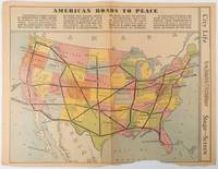
1938ref. 215547Los Angeles.: Los Angeles Examiner. Sunday 1 May1938. Printed colour pictorial map 33 x 48 cms; 41.8 x 54.5 cms sheet central fold sheet toned corners chipped with some loss to the bottom border and at the central fold in good condition; and on the verso "Movie-Go-Round" by Louella O. Parsons black and white photos and advertisements. Pictorial map printed for the weekend supplement of the Randolph Hearst owned newspaper the Los Angeles Examiner. The map-maker and artist Howard Burke had also worked for the San Francisco Examiner and was known for pictorial maps many with a persuasive or rhetorical edge and as here were designed to shore up American patriotism and defences against a wider world in the increasingly turbulent pre-war 1930s. The caption to this map outlines a multi-billion dollar 25 year proposal by Congressman J. Buell Snyder for a network of coast to coast transcontinental highways "in case of an attack by a foreign power at any point along the border". Buell Snyder earned the soubriquet "the father of superhighways" and during the War he was assigned to a Congressional Committee in charge of appropriations for the War Department. Scarce. . Los Angeles Examiner. unknown
ref. 227567Paris, Ch. Picquet, 1833 plan dépliant de 59 x 89 cm, en feuilles, entoilées.
190036 Albuminabzüge (ca. 12:17 cm), montiert in rotes Originalleinenalbum mit goldgepr. Deckeltitel. Gr.-qu.-8vo. Schöne, teils etwas ausgebleichte Originalphotographien römischer Baudenkmäler um 1900, darunter Petersdom, Lateranbasilika, S. Maria Maggiore, Colosseum, Titusbogen, Forum romanum, Pantheon, Vestatempel, Trevibrunnen, Engelsburg, Piazza Navona, Trajanssäule, Cestiuspyramide und Statuen aus den Vatikanischen Sammlungen (Laokoongruppe, Perseus etc.). - Schwach wellig verzogen.
1970ref. 54789circa1970. Collection of 20 black and white photographic plates with their accompanying negatives of maps showing patterns of land use and land forms throughout Pakistan. These photographs are of two sets of maps prepared by the Canadian government covering the whole of Pakistan. A very useful set. From the collection of Professor Basil Johnson Emeritius Professor of Geography at the Australian National University Canberra. From the collection of geographer Professor Basil Johnson who was the author of a number of works on South Asia including "India Resources and Development" and "Geographical Dictionary of India". . unknown
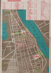
1960ref. 217495國家旅行社. National Travel Company. Circa1960s. Folding tourist brochure of Phnom Penh and environs in total 64.5 x 49.8cm 15 panels folded size 21.5 x 9.8cm. Two maps one of the city of Phnom Penh with street names in Khmer transliterated into Latin script 43 x 30cm. On reverse a coloured topographical map of southen Cambodia showing border with Vietnam 20 x 28.5cm. Numerous black and white photographic illustrations to accompany information on flights trains tourist entry requirements sights of interest to tourists. All information in traditional Chinese characters. Slight browning on one panel and two small holes mended with washi paper else in very good condition. Of particular interest in the visitor information is a description of an area about 150 km from the city of Phnom Penh which tourists can visit to take photographs of or hunt wild animals as long as they bring their own rifles. . 國家旅行社. National Travel Company. unknown