12.245 resultados
191263p. + Plus three folding maps. Text illustrated with maps, charts, drawings and diagrams. 8vo. Original full red cloth binding, very slightly soiled. Nice copy. First issued in 1909. WWI 5
ref. T87-ODE-3EPHardcover. Very good. Imperial War Museum in association with The Battery Press 1992 V1. 380 pages V2. 517 pages red cloth hard covers with gold spine stamping no owner's mark or underlining tight and square very light wear. hardcover
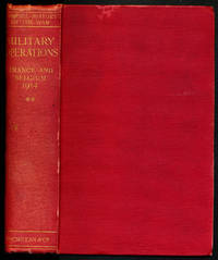
1928ref. 117241Macmillan & Co. London. 1928. Macmillan and Co. 1928. First edition. In two volumes. Red cloth hardbacks. Vol. I: Text and Vol. II: 11 Maps and 1 Diagram contained in matching clam-shell box. Vol. I has maps to endpapers and is illustrated with numerous maps and plans. Boards partially faded slightly worn and soiled ownership name and date. Contents clean. Map volume is complete spine slightly rippled otherwise a clean and sound set. hardcover
1929ref. 000015669London: Macmillan and Co. Limited 1929. 1929 reprint. hardcover. Very Good. Octavo red cloth covers xxvii 9 548 4 pages of ads for the series. Maps on endpapers and maps in the text. Corrections tipped in on several pages some red ink cross-outs text still readable. A few spots on covers and minor color bleeding into top margin of front map--does not affect image. Does not include separate map case. Part of the series: History of the Great War Based on Official Documents by Direction of the Historical Section of the Committee of Imperial Defense. 040414A Macmillan and Co., Limited hardcover
ref. 1870423933.Ghardcover. Good. Access codes and supplements are not guaranteed with used items. May be an ex-library book. hardcover
1930ref. 65119London / Nashville: Imperial War Museum / Battery Press 1930. 1st ed. thus. New Book. octavo. orig. cloth xvi 365pp. maps& plans appends. indexes Official History of the Great War. Facsimile of the original 1935 edition. Large folding map in rear pocket Imperial War Museum / Battery Press hardcover
1787ref. 163171787 2 boites cartonnées, avec étiquette. 17 cartes gravées sur cuivre de 15 sections montées sur toile et pliées, chacune formant une carte de 500 x 675 mm. Frankfurt H. L. Brönner 1787-1804
ref. SHB-ALASKA-03-21-19Hardcover. Very Good. 1913 edition minor cover and edge wear. Previous owner's name on front flyleaf. Inside clean with no markings or writing all pull-out charts and maps very good. Nice copy satisfaction guaranteed. hardcover
1930ref. 2083002116201908Oriental Maps Masatoshi Yoshii 1930. Soft Cover. Fine. Number of books: 2 Oriental Maps Masatoshi Yoshii paperback
19388vo, 160 pages, black and white illustrations. Inscription of previous owner on inside front cover. Covers are dusty. (Kingsway Social Geographies Book 4) eng
2012ref. SONG1597755206National Geographic Maps 2012-05-31. 2012. paperback. Used: Good. 10.50x0.25x14.75. Buy with confidence. Excellent Customer Service & Return policy. National Geographic Maps paperback
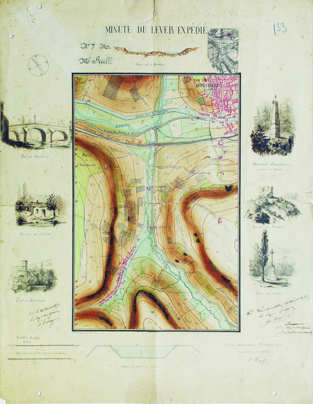
1871ref. LBW-6565Fontainebleau, 1871. 47,8 x 38,3 cm.
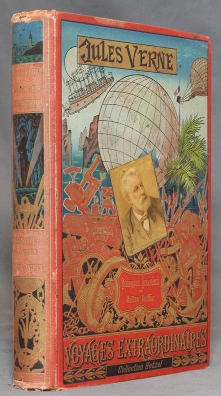
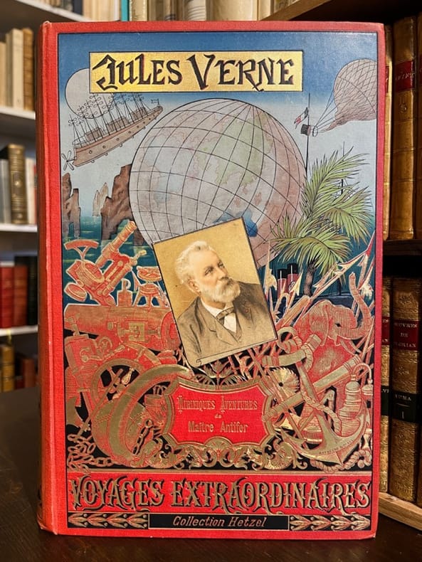
1894ref. 12400Paris, Bibliothèque d'éducation et de récréation - Les Voyages extraordinaires, J. Hetzel et Cie, 1894. Grand in-8 de [4]-420-[2]-8 (catalogue HF) pages, cartonnage polychrome d'éditeur "au portrait collé", dos au phare, second plat type Lenègre "e", tranches dorées. Auréole au coin supérieur des 80 dernières pages, mors, coiffes et coins inférieurs frottés, coins supérieurs un peu tapés, rousseurs se limitant aux premiers feuillets. Lenègre relieur.
1894ref. 20069Paris, Bibliothèque d'éducation et de récréation - Les Voyages extraordinaires, J. Hetzel et Cie, 1894. Grand in-8 de [4]-420-[2]-8 (catalogue HF) pages, cartonnage polychrome d'éditeur "au portrait collé", dos au phare, second plat type Lenègre "e", tranches dorées. Lenègre relieur.
1964ref. LFA019c5Une revue de 110 pages, format 170 x 230 mm, illustrée, brochée
1759ref. 61994W. Owen. London. 1759. First edition. Pages 461-964 8pp index. Contains the following fold-out maps: Poland Prussia and Lithuania opp. page 521 torn map of the area of London opp. page 561 Part of Persia opp. page 581 Chart of the English Channel opp. page 621 Commercial map of area around Leipzig opp. page 733 and Accurate map of the West Indies opp. page 937. A fold-out plate torn in two opp. page 833 18 engraved plates which incl. map of West Africa a view of Fort St. Louis in Senegal a path of the comet with the stars and the pictured constellations incl. Leo and Cancer in the bakground a sailing ship details of the Cherburg cannon and many natural history plates incl. enlarged louse. Half brown calf very worn and rubbed pages browned contents and binding sound. Please contact us for more information. unknown
Granollers, Editorial Montblanc-Martin, 1975. 4to. mayor; 2 hs., 546 pp. Numerosas ilustraciones fotográficas y mapas plegados fuera de texto. Cubiertas originales.
1895ref. 10487Paris, Augustin Challamel, librairie maritime et coloniale, novembre 1895. Grand in-8 broché de [6]-197-[3] pages, couverture sable imprimée en noir. Dos plié (avec pour effet quelques cahiers un peu déboîtés), auréoles en bord inférieur de la couverture, coin de la première garde coupé.
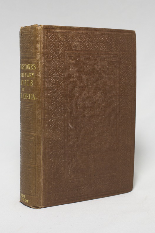
1857ref. 14921London, John Murray, 1857. Petit in-4 de IX-[1]-687-8 pages, pleine percaline brune décorée à froid. Etiquette de la librairie Desrogis, à Genève (de l'époque de la publication de l'ouvrage). Infime fente à la coiffe supérieure. Etiquette du relieur: Edmonds & Remnants.
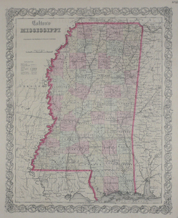
1855ref. LBW0358bNew York 1855 402 x 325 mm.
1968ref. 90689Strasbourg Sans nom, 12 décembre 1968 1968 1 vol. broché 1 feuillet dactylographié recto-verso. Tract strasbourgeois signé "Les Enragés" dénonçant la tiédeur de la dernière assemblée générale à la Faculté des Lettres.
1920Approximately 23" x 19". Undated but probably from the early 20th century. Clean and unmarked with light wear. Some age-toning. A quality copy. Map
1920Approximately 23" x 19". Undated but probably from the early 20th century. Bit of writing on bottom edge of map. Moderate wear. Some age-toning. A sound copy. Map