MittelbachMareMagnum

12.245 resultados
1920Approximately 23" x 19". Undated but probably from the early 20th century. Unmarked with moderate wear. Some age-toning. A sound copy. Map
1935ref. 6958ca. 1935. Maßstab: 1:300000 farbig. 69x86 cm. Landkarte.
1855Gotha, Julius Perthes, 1855-1874. 4to. Bound in 18 contemp. hcalf, some wear to the first 10 vols., some a bit rubbed. Some scattered brownspots to the first volumes. Gilt spines. Wear to top of spines. With a huge amount of original maps, plates, profiles etc., lithographed and engraved, large and folded and mainly in colour. This set does not include the ""Ergänzungsbände"".
1855ref. 46629Gotha, Julius Perthes, 1855-1874. 4to. Bound in 18 contemp. hcalf, some wear to the first 10 vols., some a bit rubbed. Some scattered brownspots to the first volumes. Gilt spines. Wear to top of spines. With a huge amount of original maps, plates, profiles etc., lithographed and engraved, large and folded and mainly in colour. This set does not include the ""Ergänzungsbände"".
1860Gotha, Julius Perthes, 1860. 4to. Contemp, hcalf. Gilt spine. A small stamp to titlepage. X,490 pp. and 19, partly folded, lithographed maps and plans. Internally clean. + Ergänzungshäfte.
1861Gotha, Julius Perthes, 1861. 4to. Contemp, hcalf. Gilt spine. A small stamp to titlepage. VIII,482 pp. and 16, partly folded, lithographed maps and plans. Internally clean. + Ergänzungshäfte.
1858Gotha, Julius Perthes, 1858. 4to. Contemp, hcalf. Gilt spine. A small stamp to titlepage. VIII,596 pp. and 20, partly folded, lithographed maps and plans. Text as well as maps fine and clean.
1867Gotha, Julius Perthes, 1867. 4to. Contemp, hcalf. Gilt spine. Spine somewhat rubbed. A small stamp to titlepage. VI,470 pp. and 19, partly folded, lithographed maps and plans. Textleaves with some browning and scattered brownspots. Maps clean.
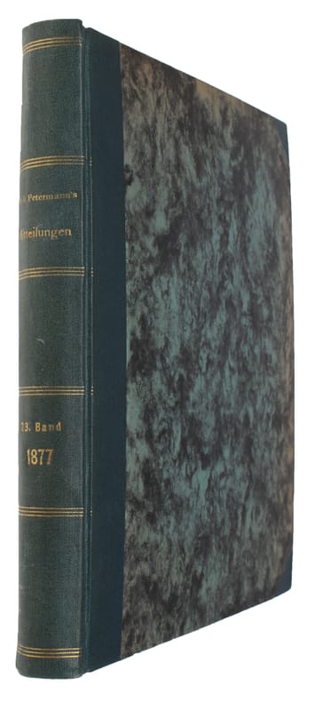
1877Gotha, Julius Perthes, 1877. 4to. Later hcloth. Spine gilt. XII,476 pp. and 23, partly folded, lithographed maps and plans. Internally clean.
1858ref. 46631Gotha, Julius Perthes, 1858. 4to. Contemp, hcalf. Gilt spine. A small stamp to titlepage. VIII,596 pp. and 20, partly folded, lithographed maps and plans. Text as well as maps fine and clean.
1867ref. 46634Gotha, Julius Perthes, 1867. 4to. Contemp, hcalf. Gilt spine. Spine somewhat rubbed. A small stamp to titlepage. VI,470 pp. and 19, partly folded, lithographed maps and plans. Textleaves with some browning and scattered brownspots. Maps clean.
1877ref. 46640Gotha, Julius Perthes, 1877. 4to. Later hcloth. Spine gilt. XII,476 pp. and 23, partly folded, lithographed maps and plans. Internally clean.
1860ref. 46641Gotha, Julius Perthes, 1860. 4to. Contemp, hcalf. Gilt spine. A small stamp to titlepage. X,490 pp. and 19, partly folded, lithographed maps and plans. Internally clean. + Ergänzungshäfte.
1861ref. 46642Gotha, Julius Perthes, 1861. 4to. Contemp, hcalf. Gilt spine. A small stamp to titlepage. VIII,482 pp. and 16, partly folded, lithographed maps and plans. Internally clean. + Ergänzungshäfte.
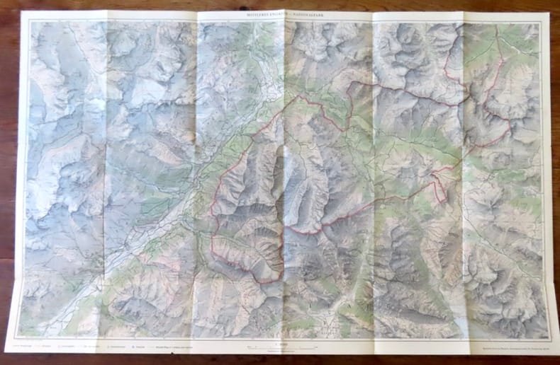
ref. 19312Zernez, Nationalpark, sans date. Carte au 1:50 000, au format ouvert de 74 x 47,5 cm. En belle condition.
1958Undated but appears to be circa late 1950s. Approx. 18" x 33". Two-sided. Printed in red and blue. Covers from the Gulf Coast to the Canadian border and from Pittsburgh to Denver. Unmarked with moderate wear. A nice vintage copy. Book
1992ref. qi1884Taschen Grande collection Dos carré collé 1992 In-12 (11,5 x 16,3 cm), dos carré collé, couverture illustrée, non paginé, 30 cartes postales en couleur ; petites marques d'usage sur les plats, par ailleurs très bon état général. Livraison a domicile (La Poste) ou en Mondial Relay sur simple demande.
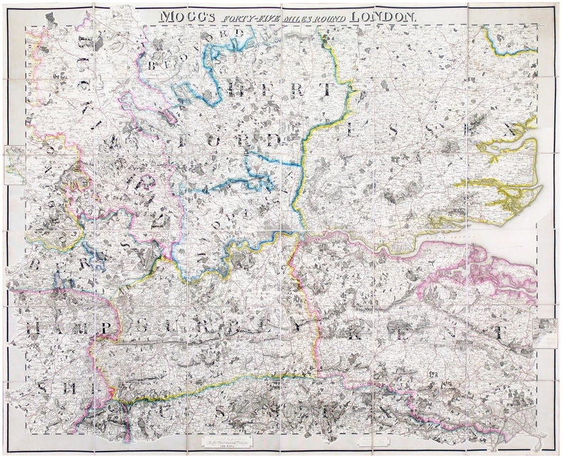
ref. LBW-6491London, Edward Mogg, June 1st 1821. En 36 sections montées sur toile et pliées, formant une carte de 0,96 x 1,16 m ; étiquette au dos de l'éditeur et marchand de cartes Charles Smith, actif entre 1800 et 1822.
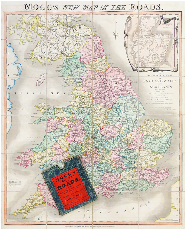
1830ref. LBW-6506Londres, Edward Mogg, 1830. En 24 sections montées sur toile et pliées, formant une carte de 770 x 630 mm ; sous étui de papier marbré vert de l'éditeur.
ref. 1083Périgueux , Copédit 1986
Granollers, Editorial Alpina, 1957. Santa María de Oló - Estany - Puig Rodós - Vall de Marfá - El Toll - Collsuspina - Granera. Mapa topográfico excursionista y notas explicativas. Escala 1:25.000. Mapa entelado y plegado. Buen ejemplar.
Granollers, Editorial Alpina, 1958. Mapa topográfico excursionista. Escala 1:25.000. Mapa entelado y plegado. Buen ejemplar. Tossa d Alp - La Moixa - El Pendís - Coll de la Bauma - Gisclareny
ref. 26402Paris, Galerie Escale, 1992. Double carte au format 15 x 22, avec enveloppe, à l'état de neuf, sous emballage d'origine.
ref. SLIVCN-3760024991322MINUS EDITIONS
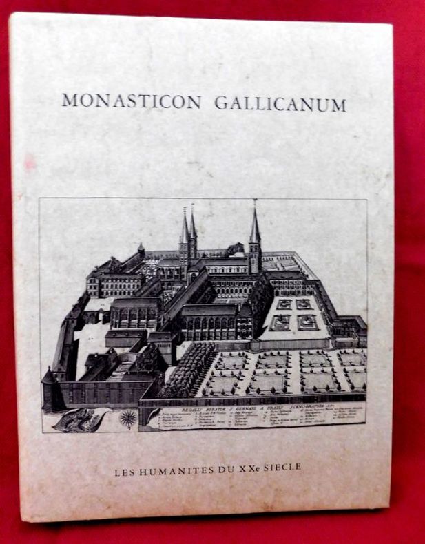
ref. 17053P., Les Humanistes du XXe siècle, 1983., Etat : Bon. Petit in-folio rel., pleine toile grise d'édition (sans jaq.), titre doré au 1er plat, 68 pp, 168 gravures (vues topograhiques) et 2 cartes doubles mobiles de la France. Très bonne condition. Réimpression anastasique de l'édition de Paris, parue chez Victor Palmé en 1871.