12.067 resultados
199596 pages. Gazetteer. Maps and abundant colour illustrations and photos throughout. Bit of liquid paper atop front free endpaper otherwise clean and unmarked with moderate wear. Binding tight. A quality copy. Book
1973ref. Q-038504335XDoubleday & Co. Inc. Garden City 1973-01-01. Hardcover. New. New. In shrink wrap. Looks like an interesting title! Doubleday & Co., Inc., Garden City hardcover
ref. 1851375015.Gmap. Good. Access codes and supplements are not guaranteed with used items. May be an ex-library book. unknown
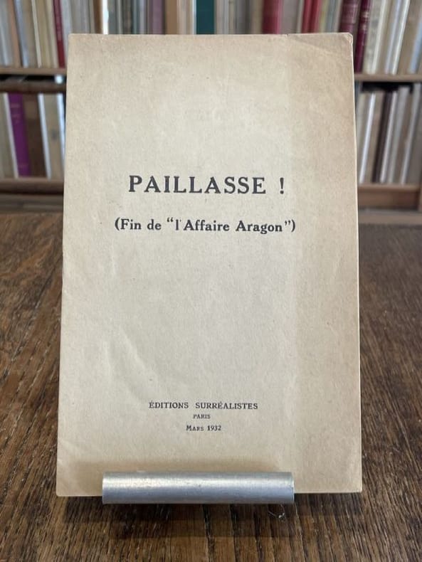
1932ref. 104016Paris Editions surréalistes 1932 1 vol. broché plaquette in-8, agrafée, 11 pp. Édition originale. Contributions de René Char, René Crevel, Salvado Dali, Paul Eluard, Max Ernst, Benjamin Péret, Yves Tanguy, André Thirion et Tristan Tzara. Exemplaire provenant de la bibliothèque de Georges Bataille avec tampon à l'encre noire sur le premier feuillet "Bibliothèque de Georges Bataille". Légère marque d'insolation à la couverture.
1932ref. 104016Paris Editions surréalistes 1932 1 vol. broché plaquette in-8, agrafée, 11 pp. Édition originale. Contributions de René Char, René Crevel, Salvado Dali, Paul Eluard, Max Ernst, Benjamin Péret, Yves Tanguy, André Thirion et Tristan Tzara. Exemplaire provenant de la bibliothèque de Georges Bataille avec tampon à l'encre noire sur le premier feuillet "Bibliothèque de Georges Bataille". Légère marque d'insolation à la couverture.
1970ref. 54789circa1970. Collection of 20 black and white photographic plates with their accompanying negatives of maps showing patterns of land use and land forms throughout Pakistan. These photographs are of two sets of maps prepared by the Canadian government covering the whole of Pakistan. A very useful set. From the collection of Professor Basil Johnson Emeritius Professor of Geography at the Australian National University Canberra. From the collection of geographer Professor Basil Johnson who was the author of a number of works on South Asia including "India Resources and Development" and "Geographical Dictionary of India". . unknown
1838ref. A105Paris, Delamarche, 1838 ; 336/475 mm, 1 pp., une feuille. Carte ancienne de la Palestine de 1838. Bon état.
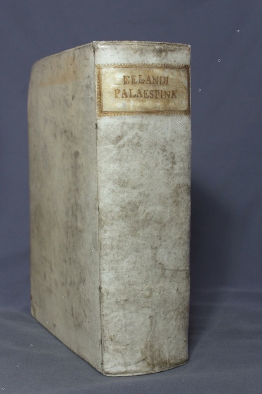
1716ref. 8475Norimbergae [Nuremberg], Petrum Conradum Monathum, 1716. Gros in-8 de [18]-787-[83]-[2bl.] pages, plein vélin ivoire du temps, dos lisse, titre doré au dos dans une cartouche de roulette dorée, tranches mouchetées. Hormis une pâle auréole d'humidité en marge supérieure de quelques feuillets, bel exemplaire.
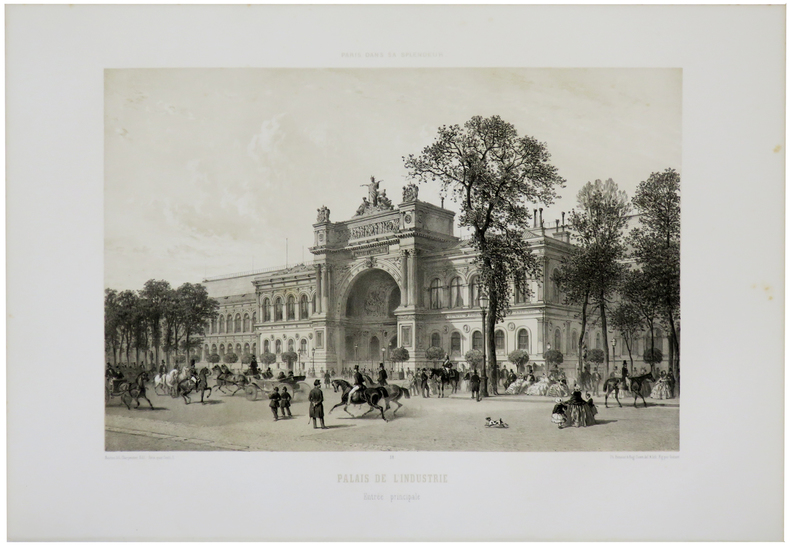
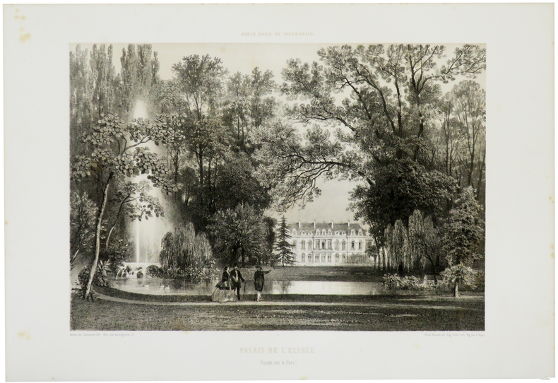
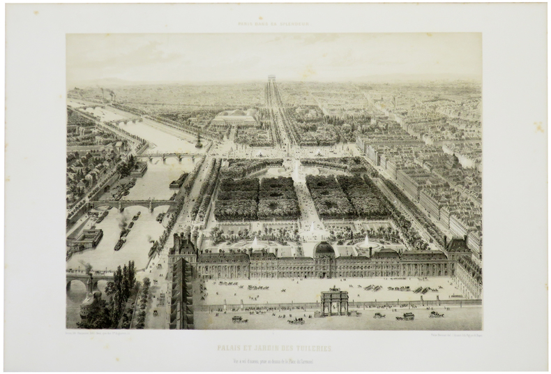
1861ref. LBW-5511Paris, Henri Charpentier, [1861]. 278 x 358 mm.
1861ref. LBW-5512Paris, Henri Charpentier, [1861]. 294 x 366 mm.
1861ref. LBW-5516Paris, Henri Charpentier, [1861]. 307 x 373 mm.
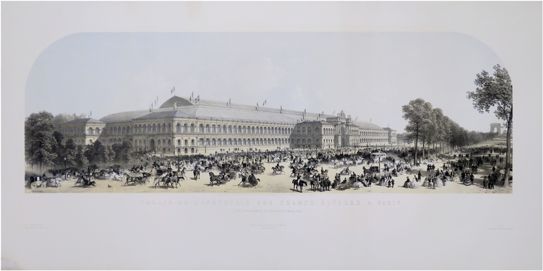
ref. LBW-8153Paris & Londres, Goupil & C.e & E. Gambart, 1er mai 1855. 390 x 970 mm.
1683ref. LBW02e76[1683]. 140 x 98 mm.
1855ref. LBW-671Paris Ch. Boivin 1855 235 x 411 mm.
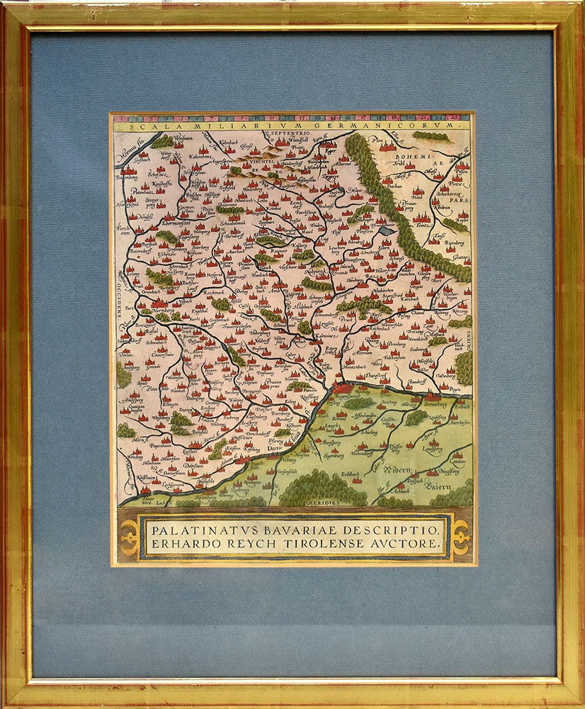
Format: 31 x 25 cm. Blattgröße: 43 x 28 cm. *Zeigt im Süden den Donaulauf und im Norden die Städte Bamberg im Westen und Pilsen im Osten. Landkarten de
ref. 59507BBo.J. Abraham Ortelius, geboren am 4. oder 14. April 1527 in Antwerpen, gestorben am 28. Juni 1598 ebenda. Flämischer Geograph und Kartograf. [3 Warenabbildungen]
Format (Abb): 31 x 24,5 cm. Blattgröße ca. 33,5 x 28 cm. *Unkolorierte Karte aus dem Atlas von Ortelius, rückseitig Text. - Zeigt das Gebiet zwischen Kulmbach, Straubing, Ingolstadt und Nürnberg Landkarten de
46 x 62 cm (Blattgröße: 70 x 52,5 cm). *Hinterlegter Randeinriss im linken Falz, sonst sauber und gut erhalten. Landkarten fr
1838Paris, Delamarche, 1838; 336/475 mm, 1 pp., une feuille. Carte ancienne de la Palestine de 1838. Bon état.
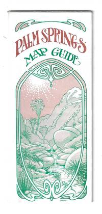
1976ref. 78705Orange and Palm Springs California: Ken and Ruth Du Maurier The Palm Springs Map Guide 1976. Tourist map to the desort resort city in Riverside County California. In addition to a large street map of Palm Springs there are smaller maps of the city bus route Cathedral City and the Coachella Valley respectively. Also provides a list with addresses of movie star and celebrity homes a brief history of the region a description of the picturesque canyon areas and descriptive lists of local shops restaurants hotels golf courses activities service stations etc. Features photographic illustrations and numerous advertisements. Printed in green and desert rose on a 30" x 25 1/2" sheet of white paper that folds to 3 3/4" x 8 1/2" 48 panels. A fresh and clean example. Scarce OCLC locates only one holding at the Library of Congress. Ken and Ruth Du Maurier, The Palm Springs Map Guide unknown
193523x16cm. VIII+566 pages. Hardcover. Cover stained. Cover corners bumped. Pages yellowing. Else in good condition
ref. 126260 Köln, H. Siebenhar, s.d., In huit, (12,5 X 25,3 cm), dépliable, cartonnage couleur bronze, illustration sur le premier plat,
1813ref. 715CG(Zürich, Füssli Komm., 1813). 3 Umrissradierungen. I: 150 x 17 cm. - II: 62 x 17 cm. - III: 37 x 12,5 cm.
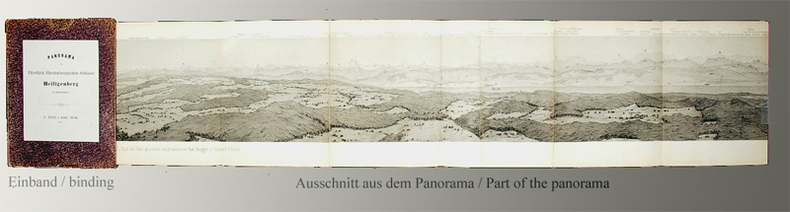
1865ref. 37BGZürich, H. Füessly & Comp. zur Meise, 1865. Stahlstich. Nach der Natur gezeichnet und gestochen von Rud. Ringger in Küsnach b/Zürich. Druck von D. Herter in Zürich. Bildgrösse: 10,2 cm x 302 cm. Orig.-Pappdeckel (Gelenke u. Kanten leicht berieben, Ecken minim bestossen) in Orig.-Papp-Schuber (berieben, Gelenke angeplatzt, etwas verblasst).
1956Pan American World Airways System : world's most experienced airline ; copyright 1956 by Pan American World Airways, Inc. Cartography by John Philip. Art by Paul John Brown. "All rights reserved by Pan American World Airways, Inc." Litho in U.S.A. 2/64 Revised 2/64.Grande planisfero a proiezione di Mercatore pubblicato dalla Pan Am Airlaines nel 1956.Raffigura tutte le rotte della aereoflotta della Pan Am nel 1956, delineate in rosso sulla mappa.Litografia, in perfetto stato di conservazione. Striking large map of the World, published by Pan American Airlines, as a promotional item.Shows all the routes around the world to which Pan Am flew in 1956, including connecting lines and Pan Am's own lines.Cartography by John Philip. Art by Paul John Brown.Full title:Pan American World Airways System : world's most experienced airline ; copyright 1956 by Pan American World Airways, Inc. Cartography by John Philip. Art by Paul John Brown. "All rights reserved by Pan American World Airways, Inc." Litho in U.S.A. 2/64 Revised 2/64.Full color map 81 1/2x147 1/2. Includes legend. Shows routes of Pan American World Airways System in red lines. Connecting lines, and distances in miles and kilometers are shown. Relief shown pictorially. Includes time zones on lower panel.Litograph, very good condition.